Uttarakhand Trip Trek
Leading travel company of Uttarakhand
Menu
Char Dham Yatra
Char Dham Yatra from Delhi
Yamunotri and Gangotri Yatra
Badrinath and Kedarnath Yatra
Weekend Trek
Khaliya Top
Auli Gorson Bugyal Trekking
Bedni Bugyal Trek – Asia’s Largest Grassland
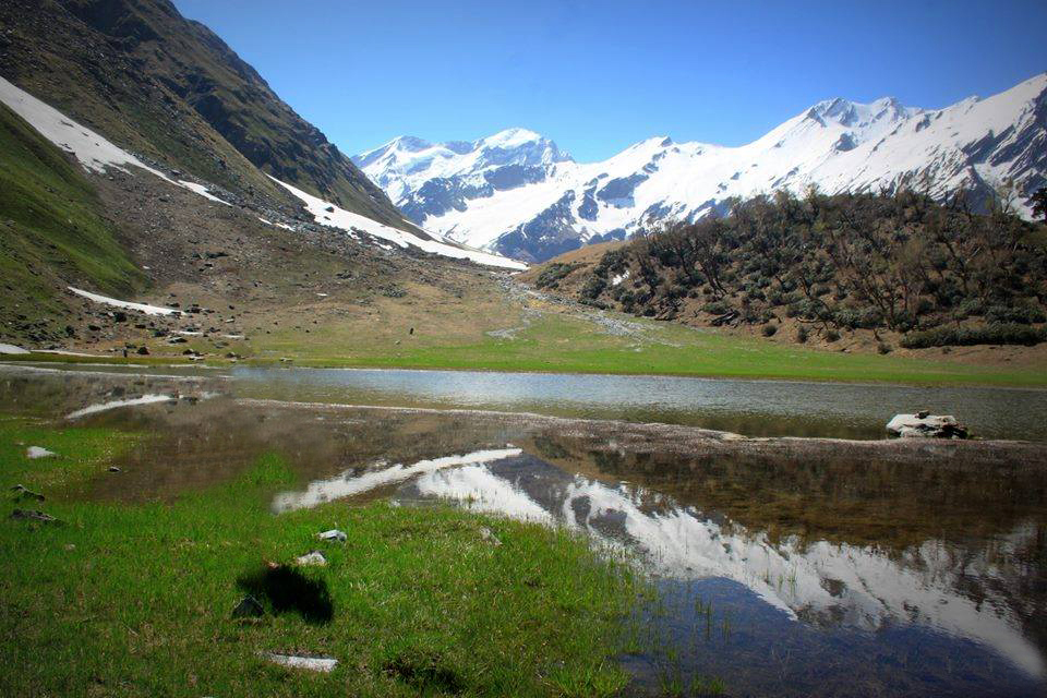
Kashmir Great Lakes Trek
Chopta Trek
Winter Trek
Dayara Bugyal Trek 2023 – Best Winter Trek
Brahmatal Trek
Har Ki Dun – Valley Of Lord Shiva
Winter Kuari Pass – Best Winter Trek
Nag Tibba Trek
Kedarkantha Trek – A Perfect Winter & Snow Trek
Treks
Kumaon Region
Pindari Glacier Trek
Kafni Glacier Trek
Sunderdhunga Trek
Khaliya Top
Pindari Glacier with Kafni Glacier Trek
Garhwal Region
Dayara Bugyal Trek 2026 – Best Winter Trek
Nag Tibba Trek
Brahmatal Trek
Kedarkantha Trek – A Perfect Winter & Snow Trek
Winter Kuari Pass – Best Winter Trek
Ronti Saddle Trek
Har Ki Dun – Valley Of Lord Shiva
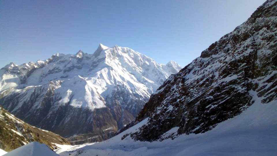
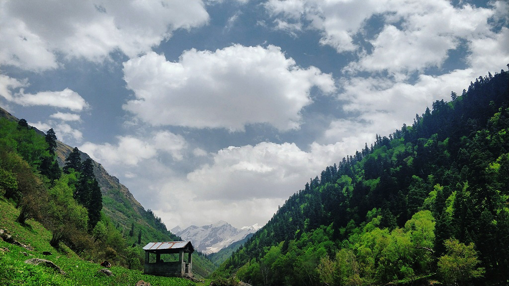
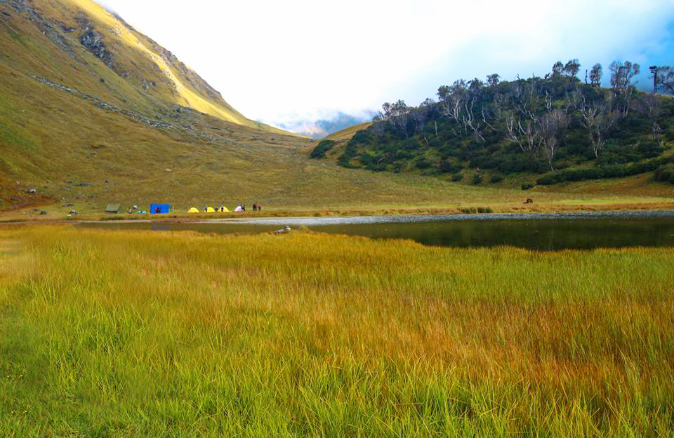
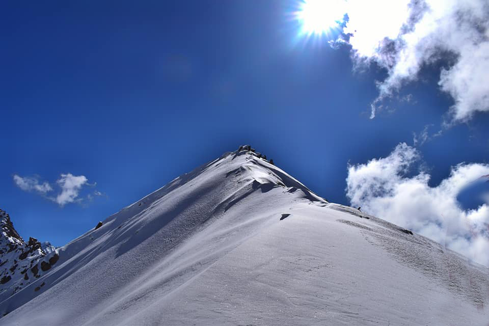
More Photos