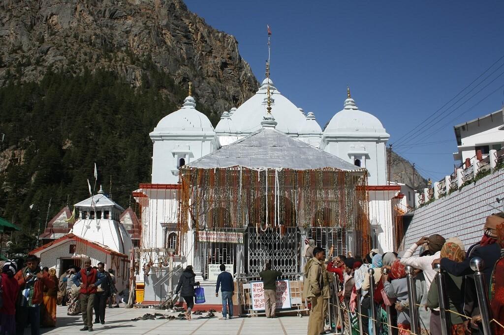
Gangotri
Gangotri Temple is one of the most sacred pilgrimage sites in India and an integral part of the Char Dham Yatra. Located in the Uttarkashi district of Uttarakhand at an altitude of

Expert-guided treks, pilgrimages & adventures across Dev Bhoomi
Explore our most popular treks, from the sacred Yatra

+ taxes & fees
+ taxes & fees
+ taxes & fees

+ taxes & fees
+ taxes & fees

+ taxes & fees

+ taxes & fees
+ taxes & fees
Join our community of adventure enthusiasts
Native guides with deep knowledge of trails, culture & safety protocols
Professional equipment, first-aid kits and medical support on every trek
Max 12-15 trekkers for personal attention and better group dynamics
Leave no trace principles, biodegradable supplies & environmental care
All paperwork, permits, and arrangements handled before your trek
Easy cancellation, rescheduling options and transparent refund policy
100% licensed guides, fully insured treks for your peace of mind
Capture your best moments with guidance from experienced photographers
Discover the most sought-after locations in the Land of Gods
Yoga Capital
Queen of Hills
Lake District
Wildlife Safari
Skiing Paradise
Holy Gateway
Expert tips, stories, and essential guides for your journey

Gangotri Temple is one of the most sacred pilgrimage sites in India and an integral part of the Char Dham Yatra. Located in the Uttarkashi district of Uttarakhand at an altitude of
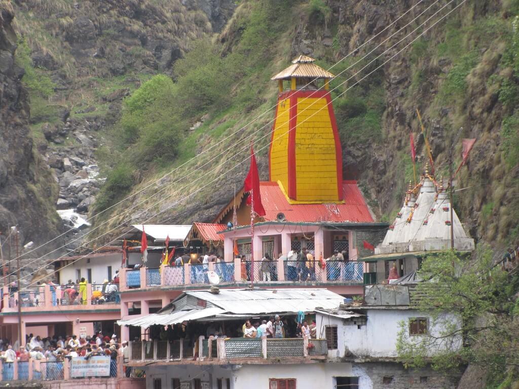
Yamunotri Temple is the westernmost shrine of the Char Dham Yatra and is dedicated to Goddess Yamuna. Located in the Uttarkashi district of Uttarakhand at an altitude of about 3,29
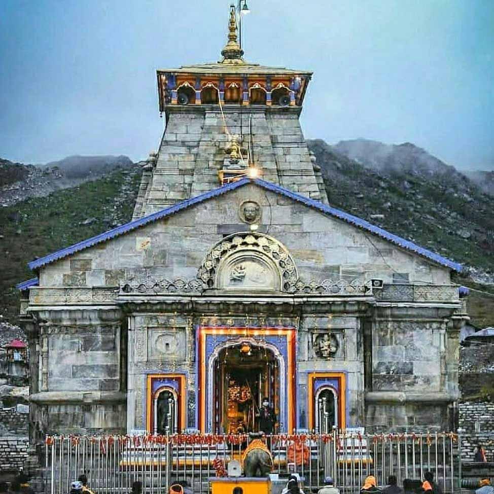
Kedarnath Temple is one of the holiest Hindu pilgrimage sites and a central part of the Char Dham Yatra. Situated at an altitude of about 3,583 meters in the Rudraprayag district o

Gangotri Temple is one of the most sacred pilgrimage sites in India and an integral part of the Char Dham Yatra. Located in the Uttarkashi district of Uttarakhand at an altitude of

Yamunotri Temple is the westernmost shrine of the Char Dham Yatra and is dedicated to Goddess Yamuna. Located in the Uttarkashi district of Uttarakhand at an altitude of about 3,29

Kedarnath Temple is one of the holiest Hindu pilgrimage sites and a central part of the Char Dham Yatra. Situated at an altitude of about 3,583 meters in the Rudraprayag district o
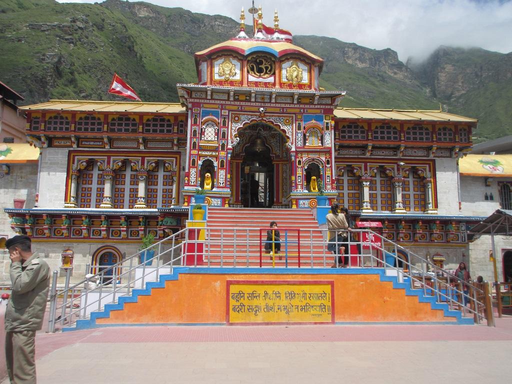
Badrinath Temple is one of the most revered pilgrimage sites in India and a vital part of the Char Dham Yatra. Located in the Chamoli district of Uttarakhand, this sacred temple is

Kedarnath, one of the most revered pilgrimage sites in the Indian Himalayas, has been attracting devotees for centuries. While many flock to the temple town, there are hidden gems

The Kafni Glacier is located in the Kumaon Himalayas in the state of Uttarakhand, India. It is one of the major glaciers in the region and a significant source of the Kafni River,
Get a free detailed itinerary
By submitting, you agree to receive communication from us.
Join thousands who discovered their true selves in the sacred mountains