1. What is Khatima?
Khatima is a town located in the Udham Singh Nagar district of the state of Uttarakhand in India. It is situated near the border of Uttarakhand and Uttar Pradesh.
2. What is Khatima known for?
Khatima is primarily known for its agricultural activities, especially its production of fruits like mangoes and lychees. It also serves as a hub for trade and commerce due to its strategic location near the state border.
3. How far is Khatima from major cities?
Khatima is approximately 50 kilometers from Rudrapur and about 300 kilometers from the state capital, Dehradun.
4. How is the climate in Khatima?
Khatima experiences a subtropical climate with hot summers and relatively mild winters. The monsoon season (July to September) brings significant rainfall.
5. What are the nearby tourist attractions?
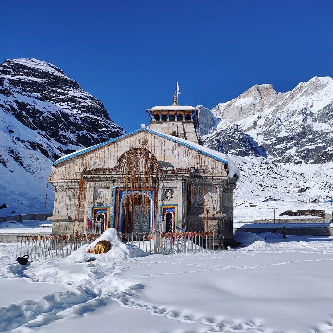
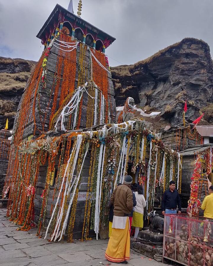
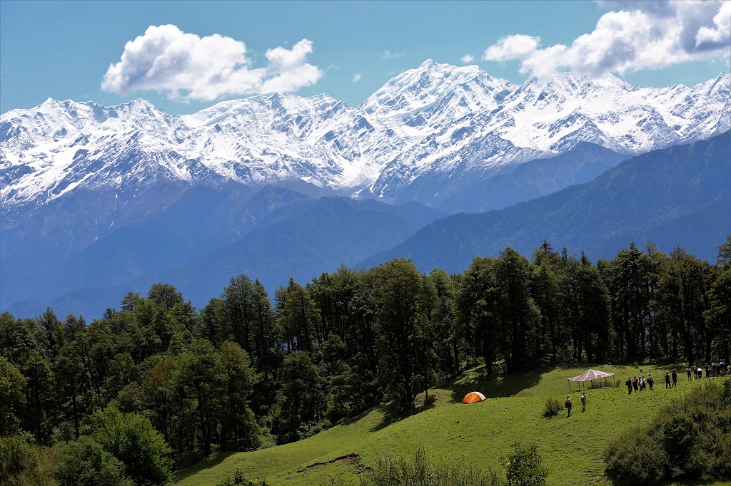
Nearby attractions include Jim Corbett National Park, Nanakmatta Sahib Gurudwara, and various temples such as Chaiti Devi Temple.
6. Are there hotels and accommodations available in Khatima?
Yes, Khatima has various hotels, lodges, and guesthouses that cater to both tourists and business travelers.
7. Is Khatima well-connected by road?
Yes, Khatima is well-connected by road. It lies on NH 309A, which connects it to other major cities and towns in Uttarakhand and Uttar Pradesh.
8. What languages are spoken in Khatima?
The primary languages spoken in Khatima are Hindi and Kumaoni. However, due to its location and trade activities, people also understand and speak other regional languages and sometimes English.
9. Is Khatima a safe place to visit?
Yes, Khatima is generally a safe place to visit. Like any other town, it’s advisable to take normal precautions regarding personal safety and belongings.
Adi kailash Yatra Package From Kathgodam

How To Reach Sankri
Sankri is a picturesque village located in the Uttarkashi district of the Indian state of Uttarakhand. It serves as a…
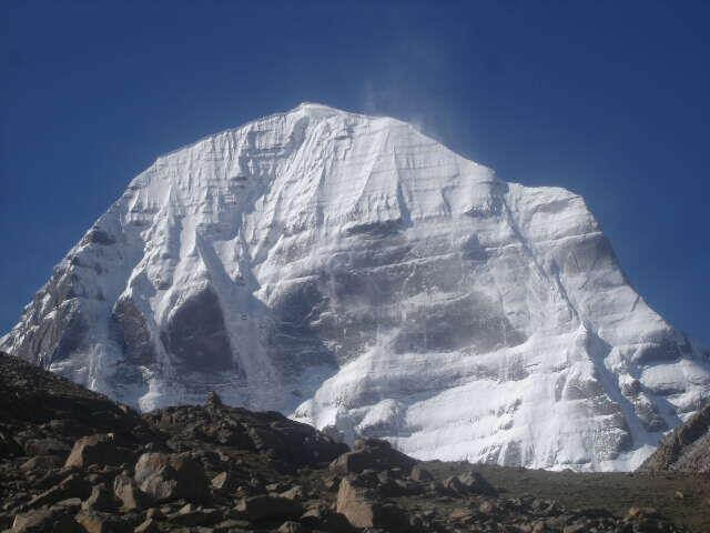
Adi Kailash
Adi Kailash, also known as Chhota Kailash, is a sacred mountain located in the Indian state of Uttarakhand. Standing tall…
Adi kailash Yatra from Delhi
Yatra Overview Reporting Time & Place :- Ajmeri Gate Side at 0900 Hr Save 20% on Yatra CostRs 42,000/ (Delhi to Delhi)…
Adi Kailash Yatra KMVN
Adi Kailash & Om Parvat Yatra Trek Overview Duration: 06Nights / 07 Days …