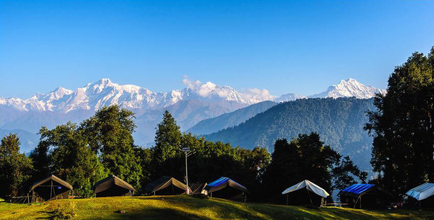
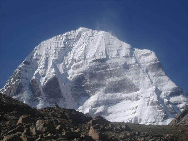
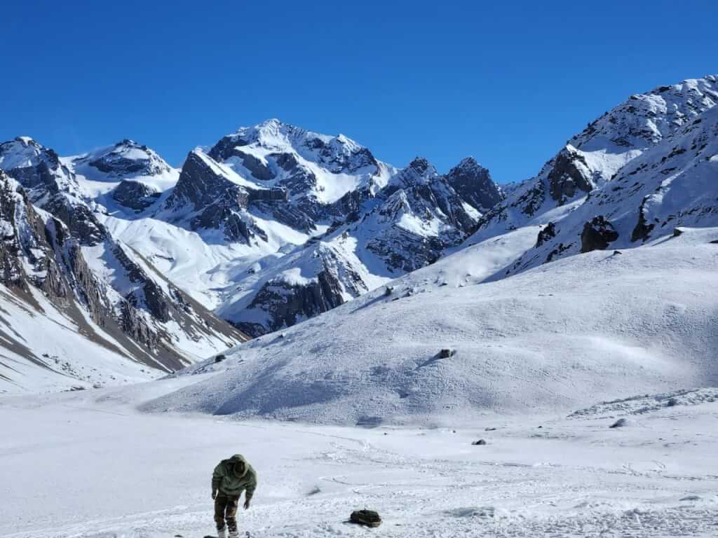
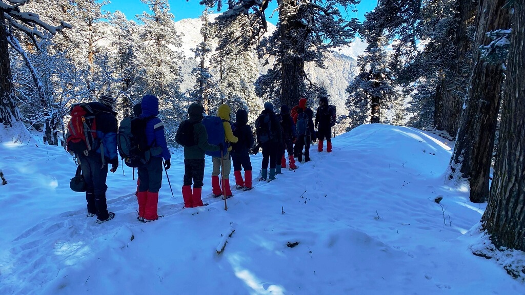
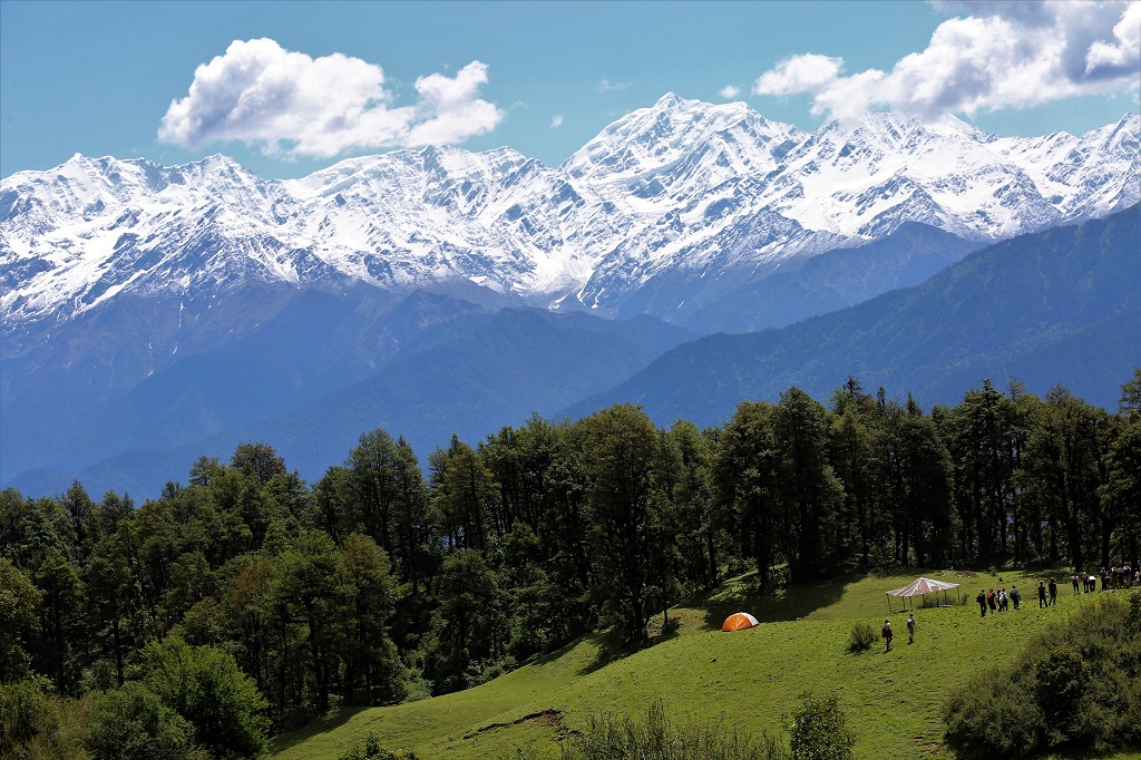
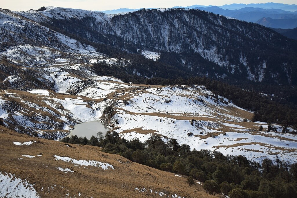
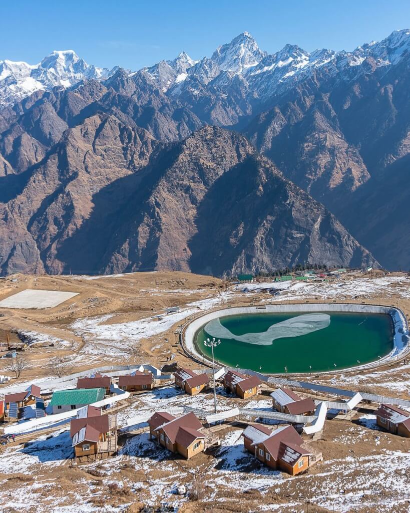
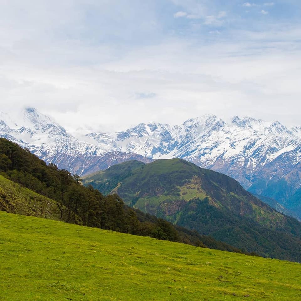
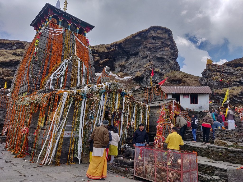
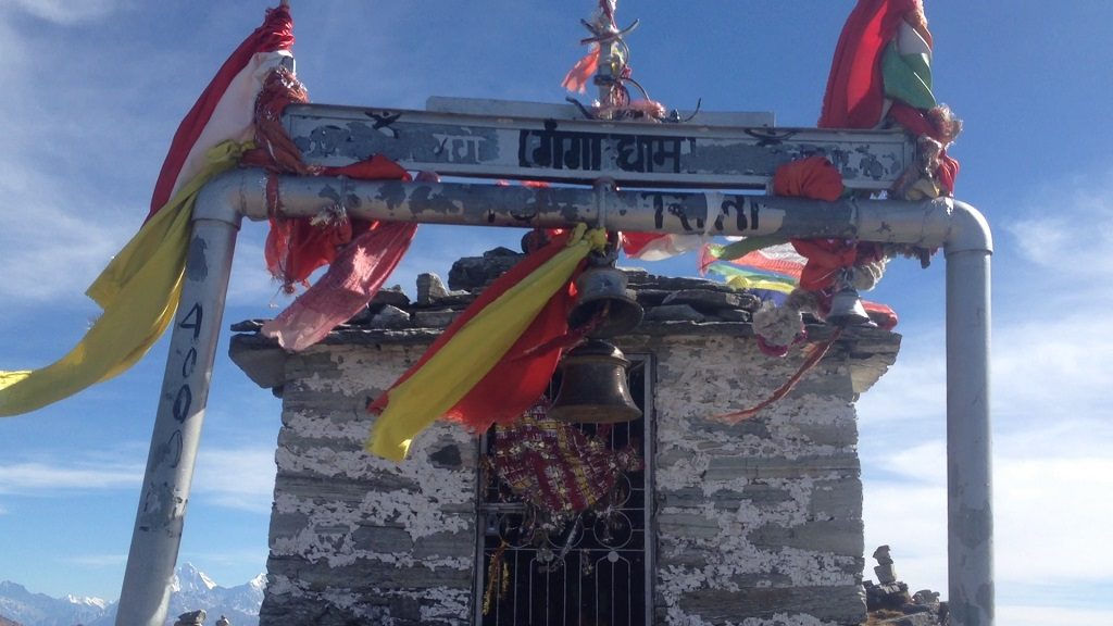
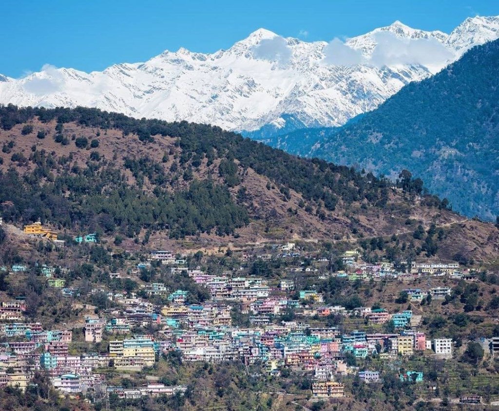
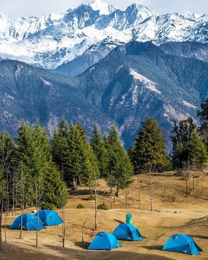
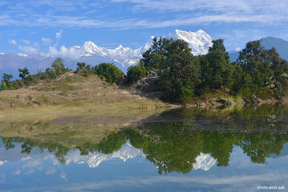
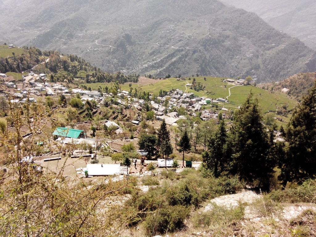
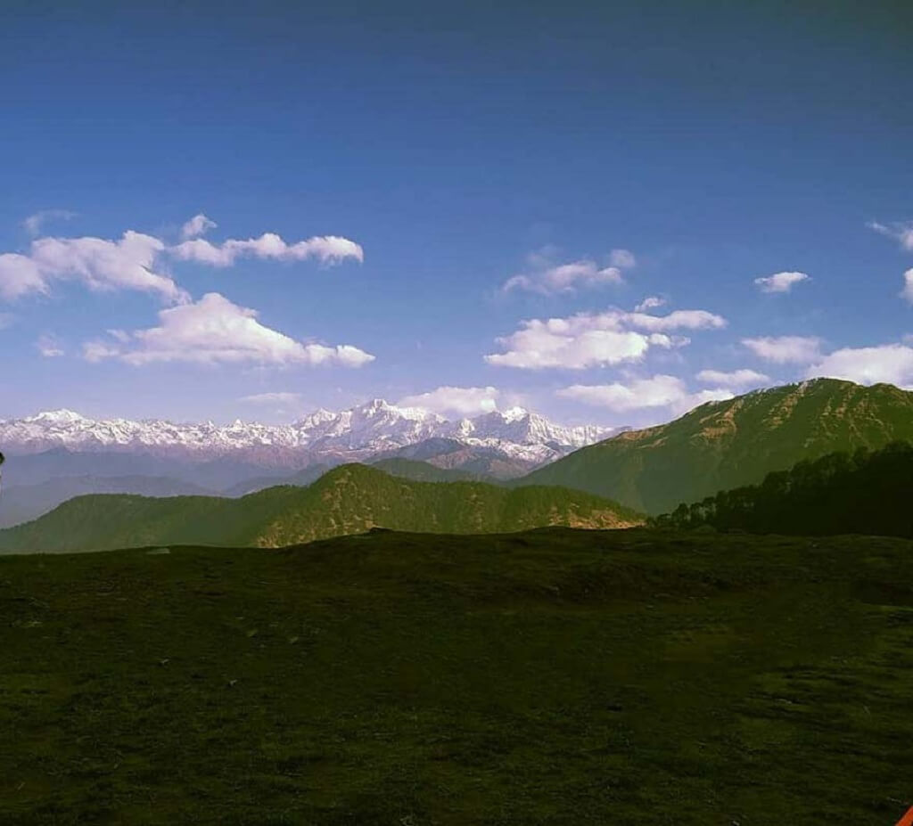
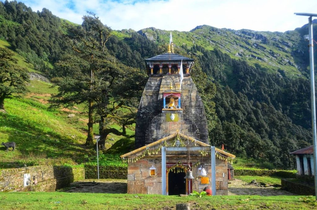
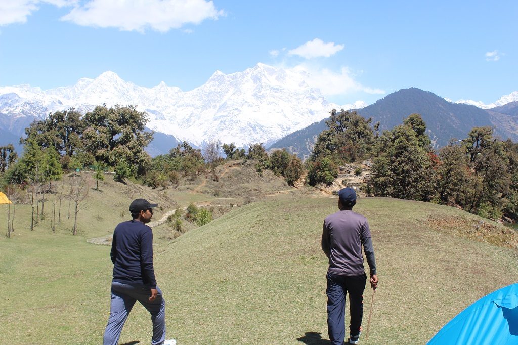
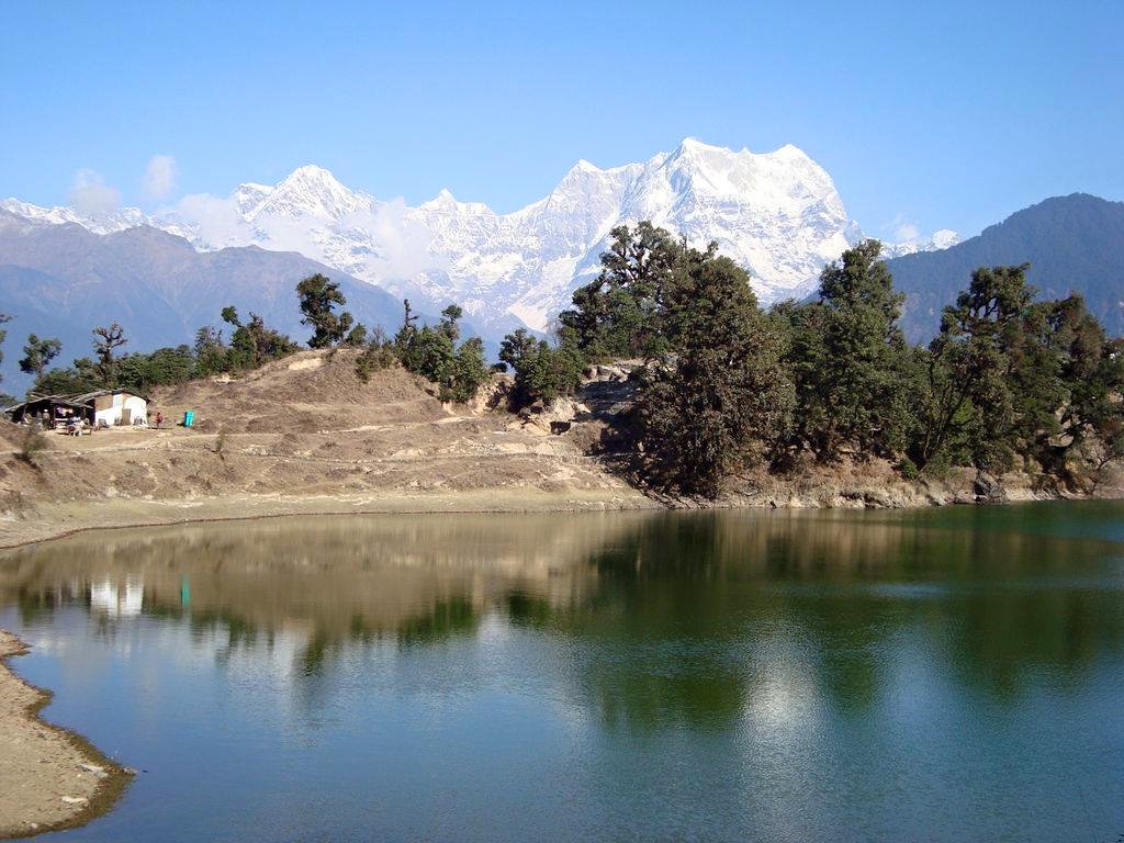
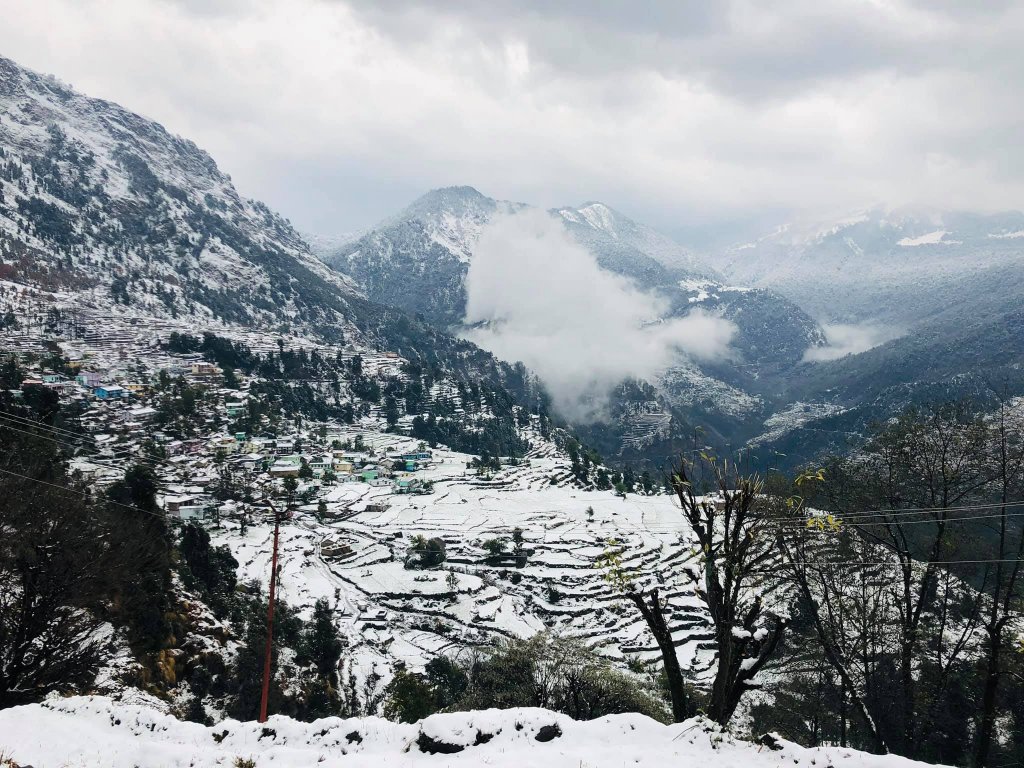
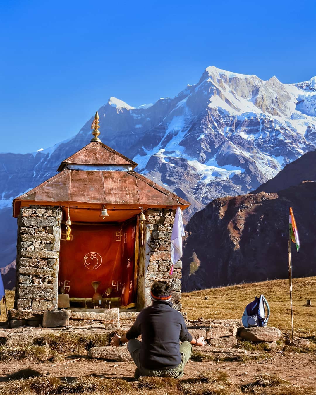
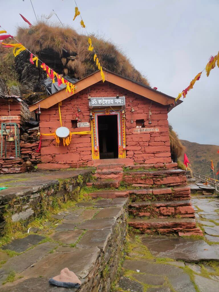
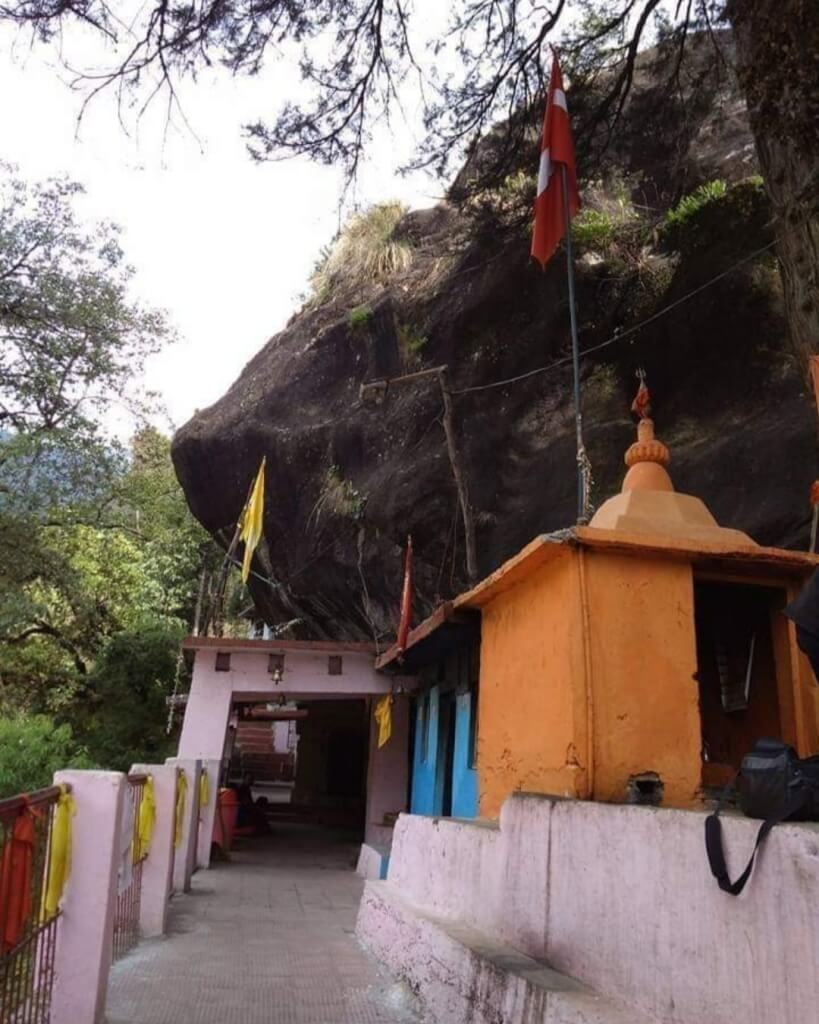
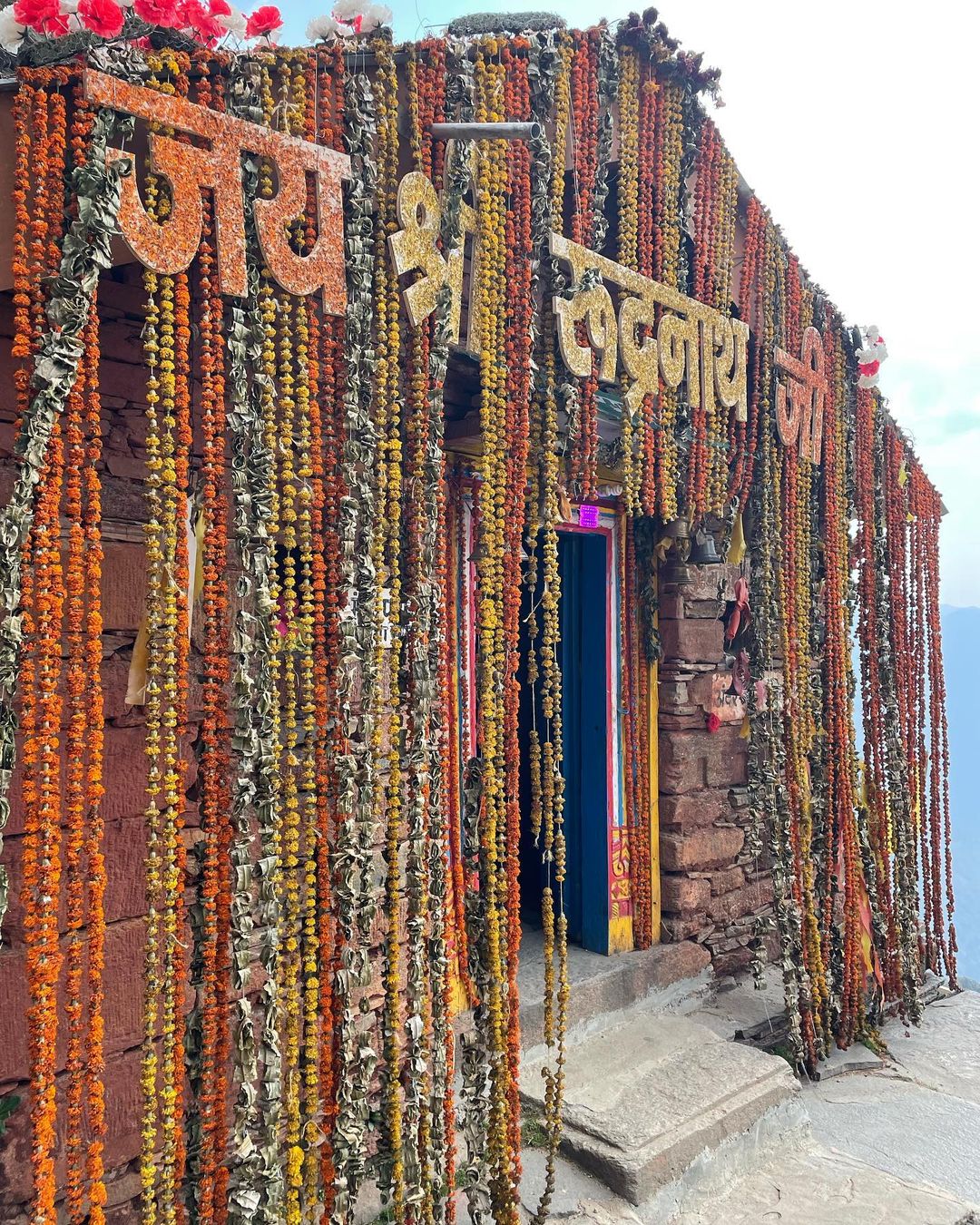
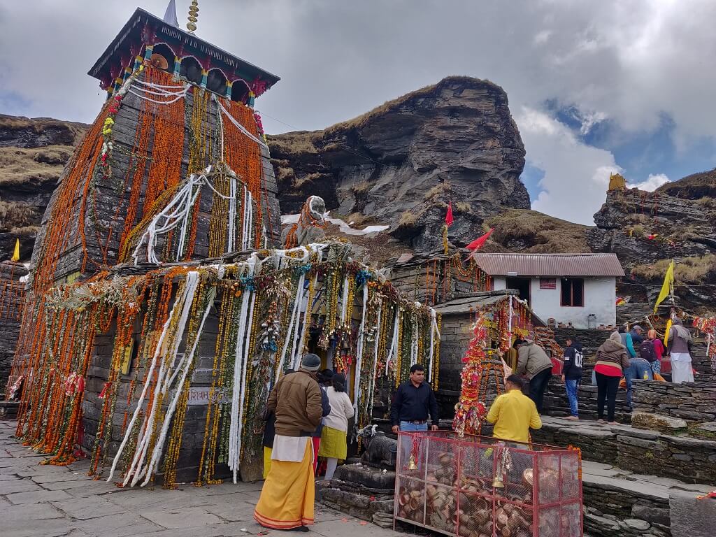
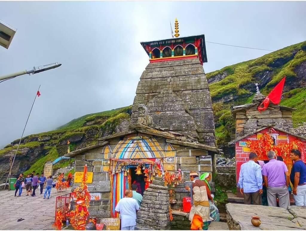
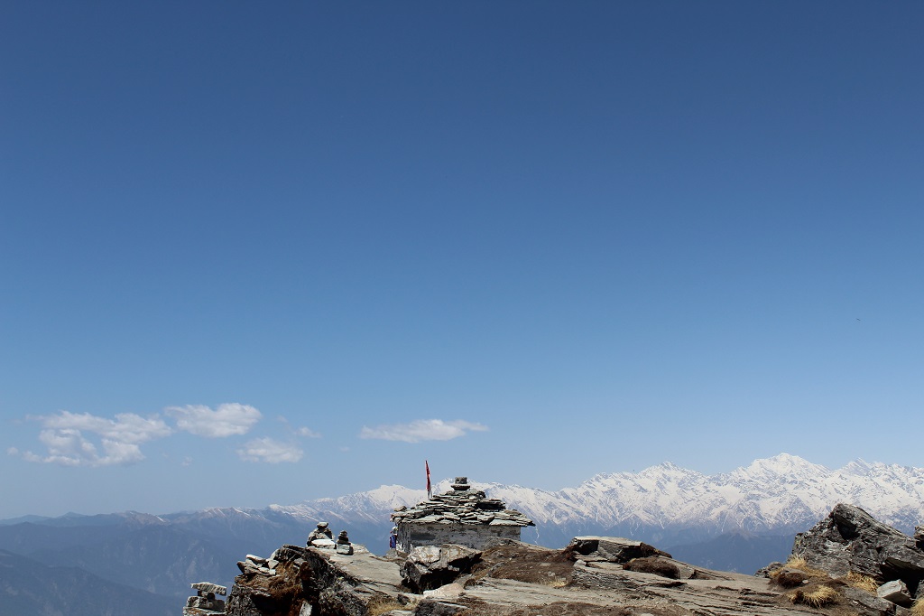
Rudranath Temple is situated in the Chamoli district of Uttarakhand. It is nestled in the Garhwal Himalayas and is part of the Panch Kedar pilgrimage circuit. it is a sacred Hindu temple dedicated to Lord Shiva , Among the Panch Kedar temples, reaching Rudranath is considered the most challenging. The trek unfolds amidst the awe-inspiring Himalayan peaks, with Nanda Devi, Trishul, and Nanda Ghunti standing as majestic sentinels, adding to the divine allure of Rudranath Temple
| Location | Chamoli |
| Famous For | Panch Kedar, Trekking |
| Altitude | 3400 mts |
| Starting Point of trek | Sagar Village (20 km Away from Here) |
| Nearest Railway Station or Airport | Rishikesh, 250kms/ Jolly Grant Airport, 270 kms |
| Best time to visit Ukhimath | May, Jun, Jul, Aug, Sep, Oct, Nov |
Mythology about Rudranath
According to Hindu mythology, it is believed that after the battle of Kurukshetra in the Mahabharata, the Pandavas sought Lord Shiva’s forgiveness for the sins committed during the war. Lord Shiva, displeased with the bloodshed, decided to evade them by taking the form of a bull. However, as the Pandavas pursued him, Lord Shiva dove into the ground, leaving behind different body parts at five distinct locations, which came to be known as the Panch Kedar
Opening and Closing date of Rudranath Temple
| Opening Date | 20 May: The temple will open for pilgrims |
| Closing Date | 18 Oct 2023. Door will close for pilgrims |
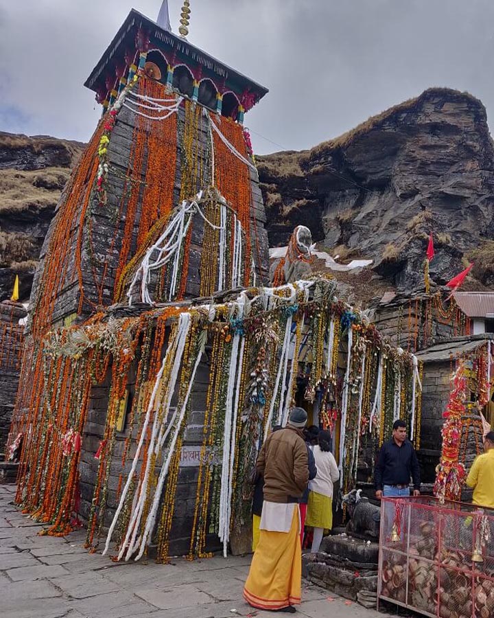
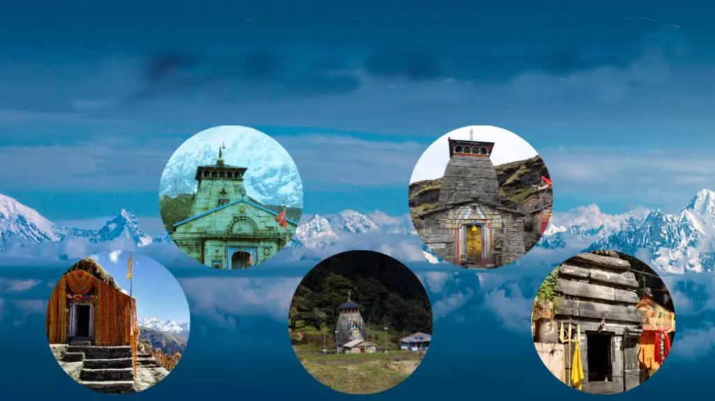
Panch Kedar Temple

How To Reach Sankri
Sankri is a picturesque village located in the Uttarkashi district of the Indian state of Uttarakhand. It serves as a…
Kalpeshwar
Kalpeshwar temple is nestled in the Chamoli district of Uttarakhand, India. Located at an altitude of 2,200 meters above sea…
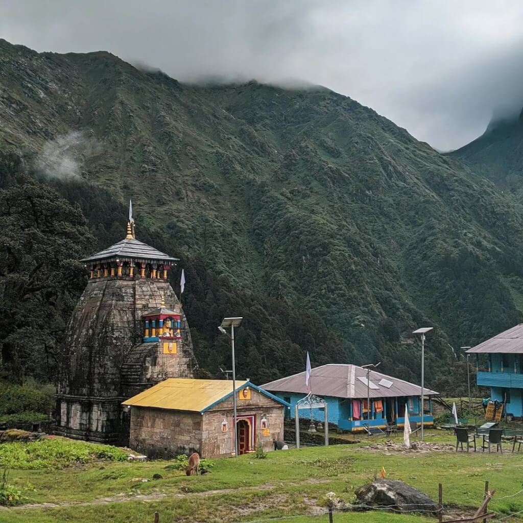
Madmaheshwar
Madmaheshwar is enchantingly embraced by the snow-capped Himalayas on one side, while lush green alpine meadows grace the other, with…
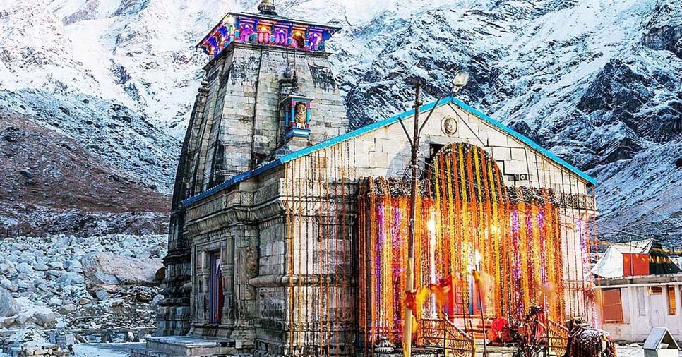
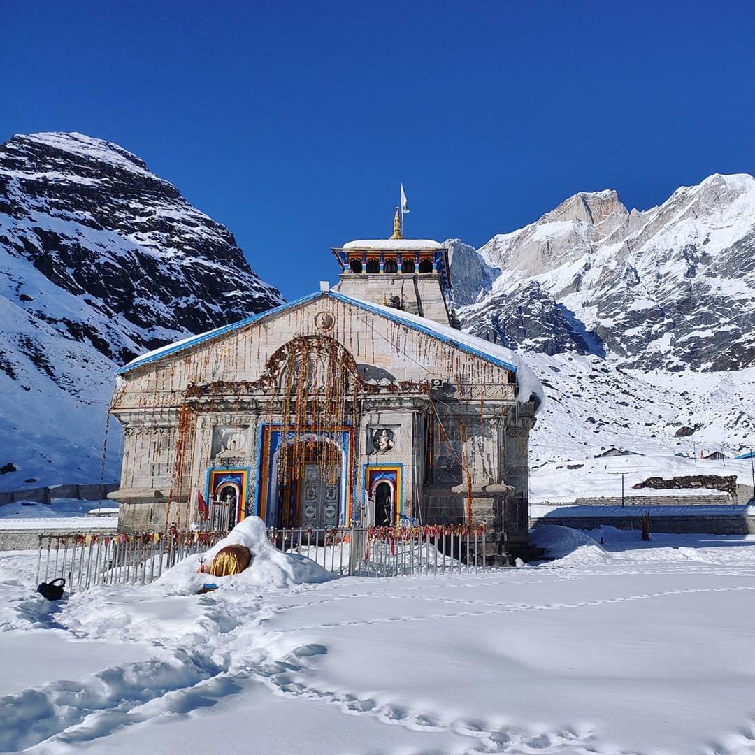
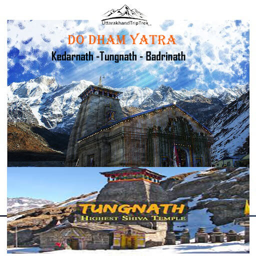
Kedarnath Dham
Kedarnath Temple is located in Rudraprayag district of Uttarakhand state of India. Kedarnath Temple in 12th Jyotirlinga. Kedarnath Dham and…
Panch Kedar Yatra Package
How To Reach Rudranath
By Road
From Delhi (or nearby cities): You can drive or take a bus to Rudranath via Haridwar or Rishikesh. The road journey from Delhi to Rudranath is approximately 420-450 km and takes around 12-14 hours depending on road conditions and traffic.
From Haridwar/Rishikesh: You can hire a taxi or take a bus from Haridwar or Rishikesh to Rudranath. The journey takes about 10-12 hours.
By Train
The nearest railway station to Rudranath is Rishikesh Railway Station, which is about 220 km away. From Rishikesh, you can hire a taxi or take a bus to Rudranath. The journey takes around 10-12 hours.
By Air
The nearest airport to Rudranath is the Jolly Grant Airport in Dehradun, which is around 235 km away. From there, you can hire a taxi or take a bus to Rudranath. The journey from Dehradun to Rudranath takes around 8-10 hours.