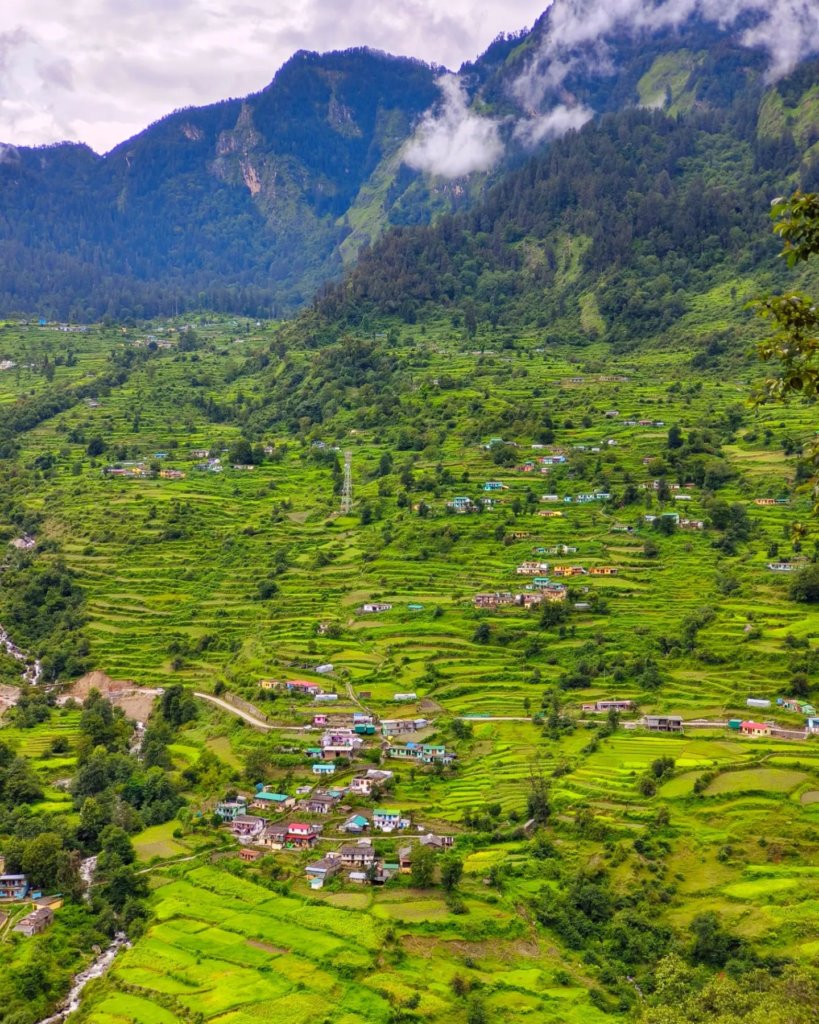
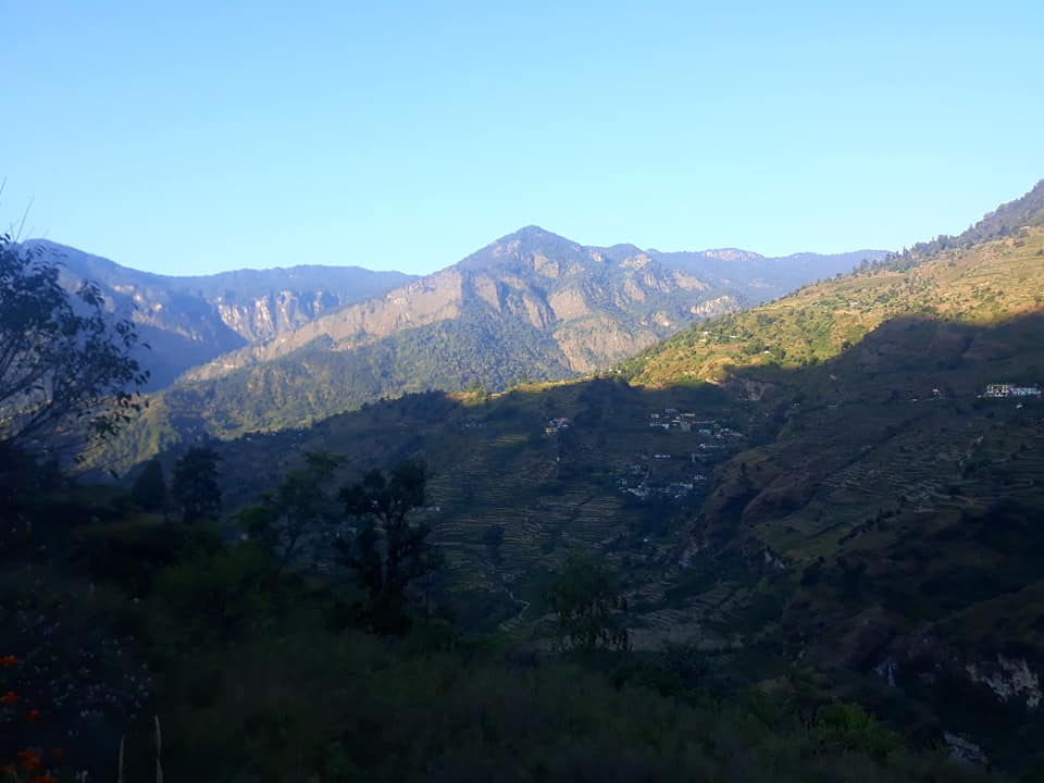
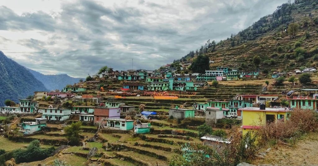
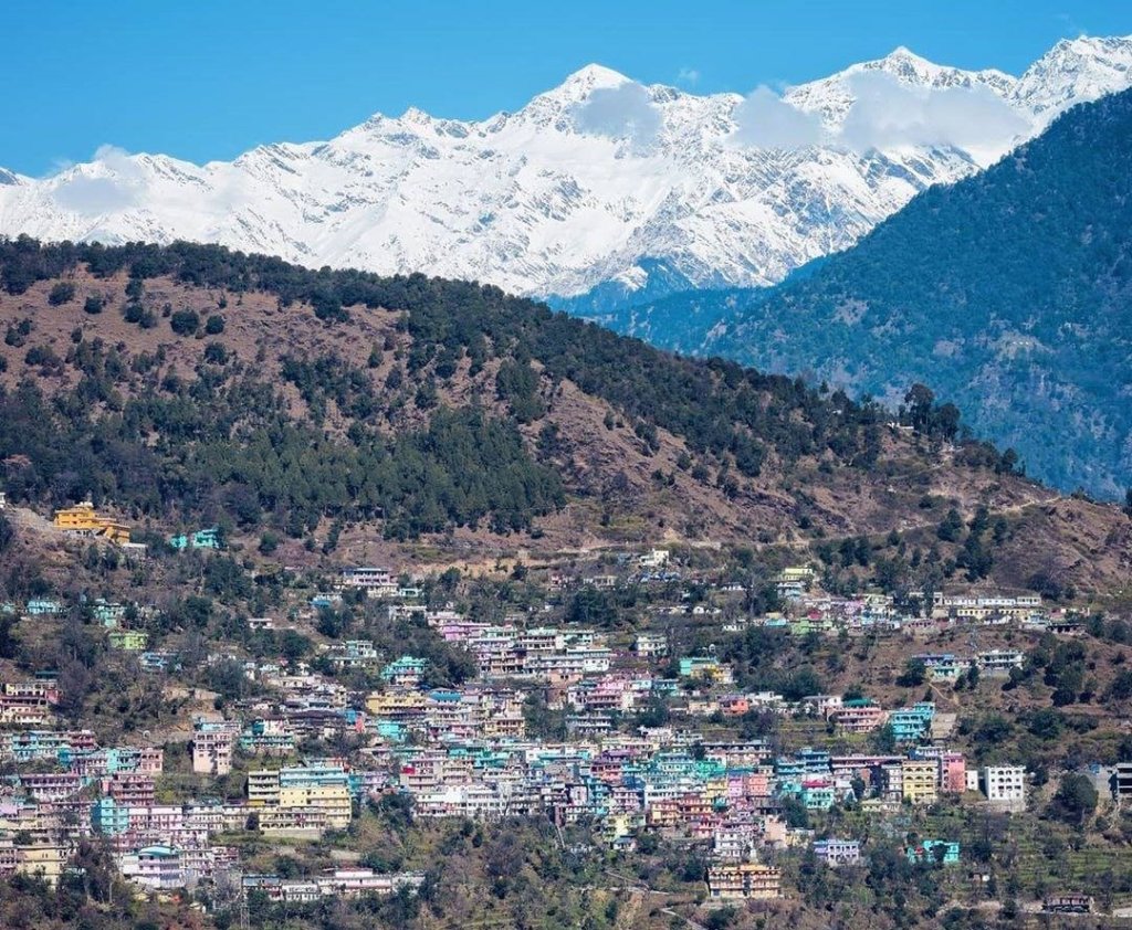
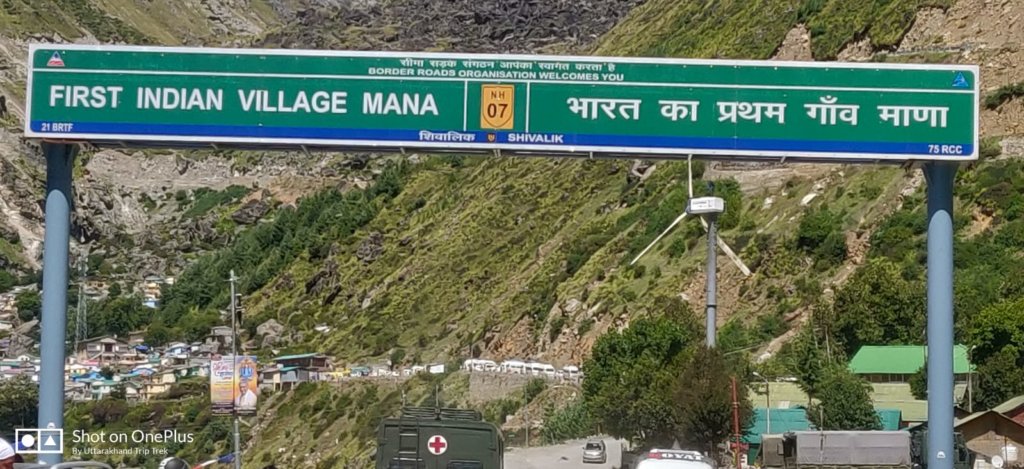
Mana is the First inhabited village on the Indian side of the Indo-Tibetan border, located in the Chamoli district of Uttarakhand, India. It’s famous for being the last accessible village before the Mana Pass, which leads into Tibet. The village holds cultural and mythological significance as it’s believed to be the place where the Pandavas from the Indian epic Mahabharata ascended to heaven. It’s also known for its proximity to the Badrinath Temple, one of the Char Dham pilgrimage sites in Hinduism.
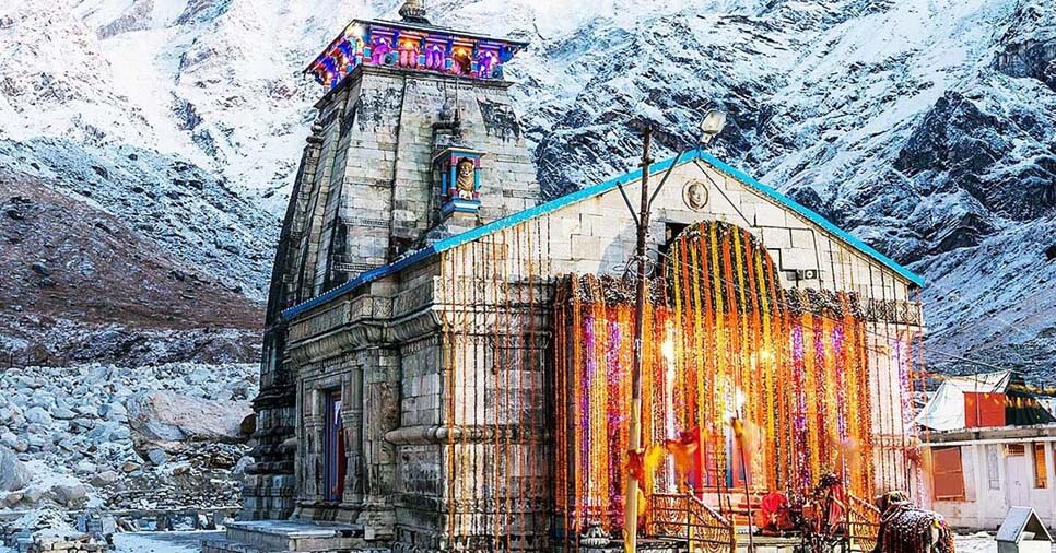
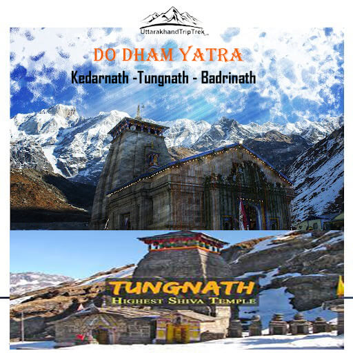
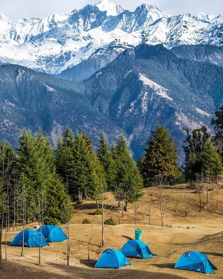
Char Dham Yatra Do Dham Yatra Adi Kailash Yatra
| Location | Chamoli |
| Famous For | Saraswati River, Last Indian village before the Indo-Tibetan border, Badrinath Temple |
| Altitude | 3,200 meters |
| Badrinath Temple | 3 Km From Badrinat |
| Best time to visit | May, Jun, Sep, Oct, Nov |
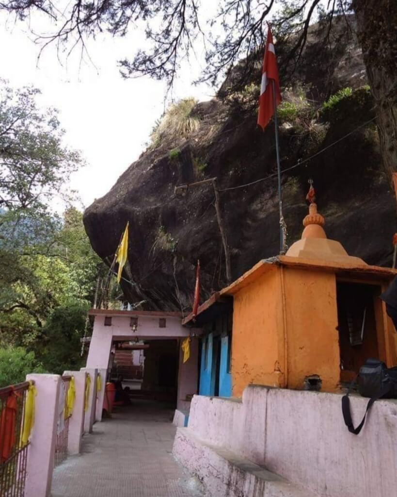
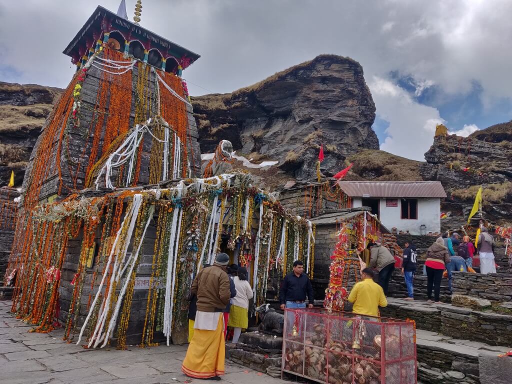
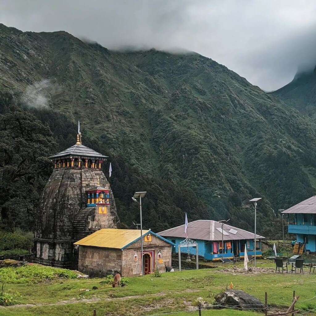
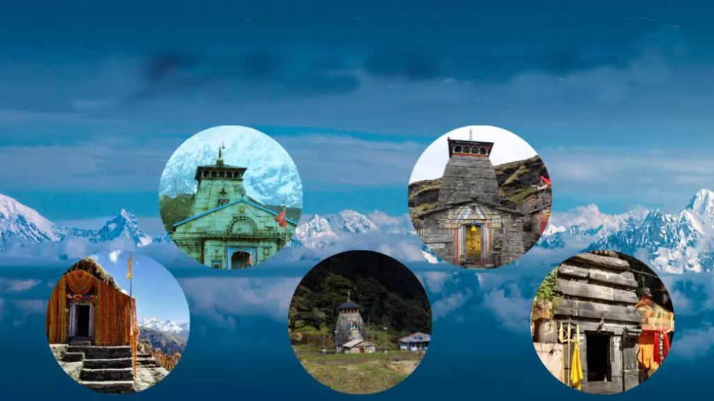
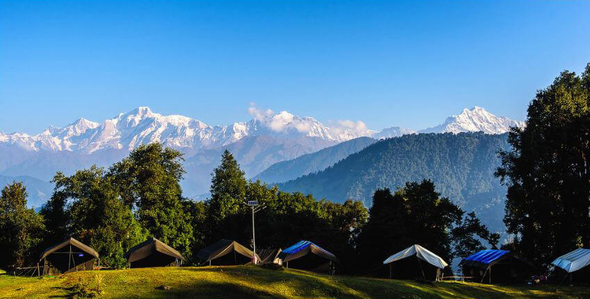
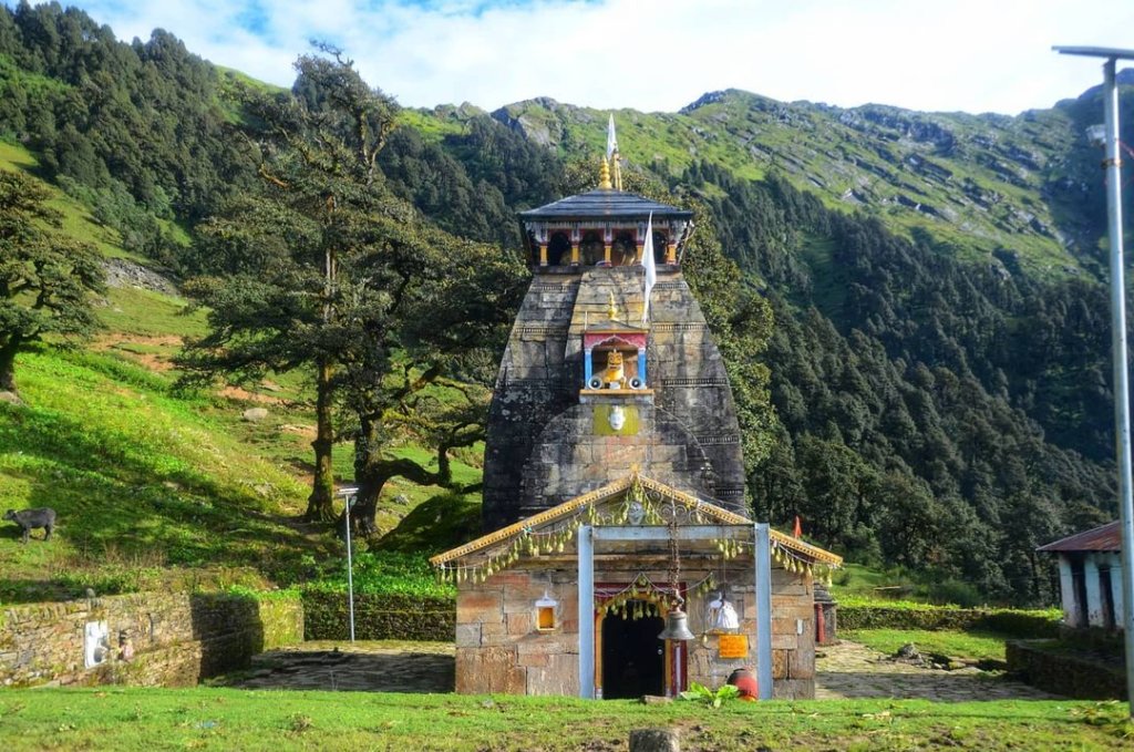
Anushuya Devi Temple Tungnath Temple Rudranath Temple
Mana Village
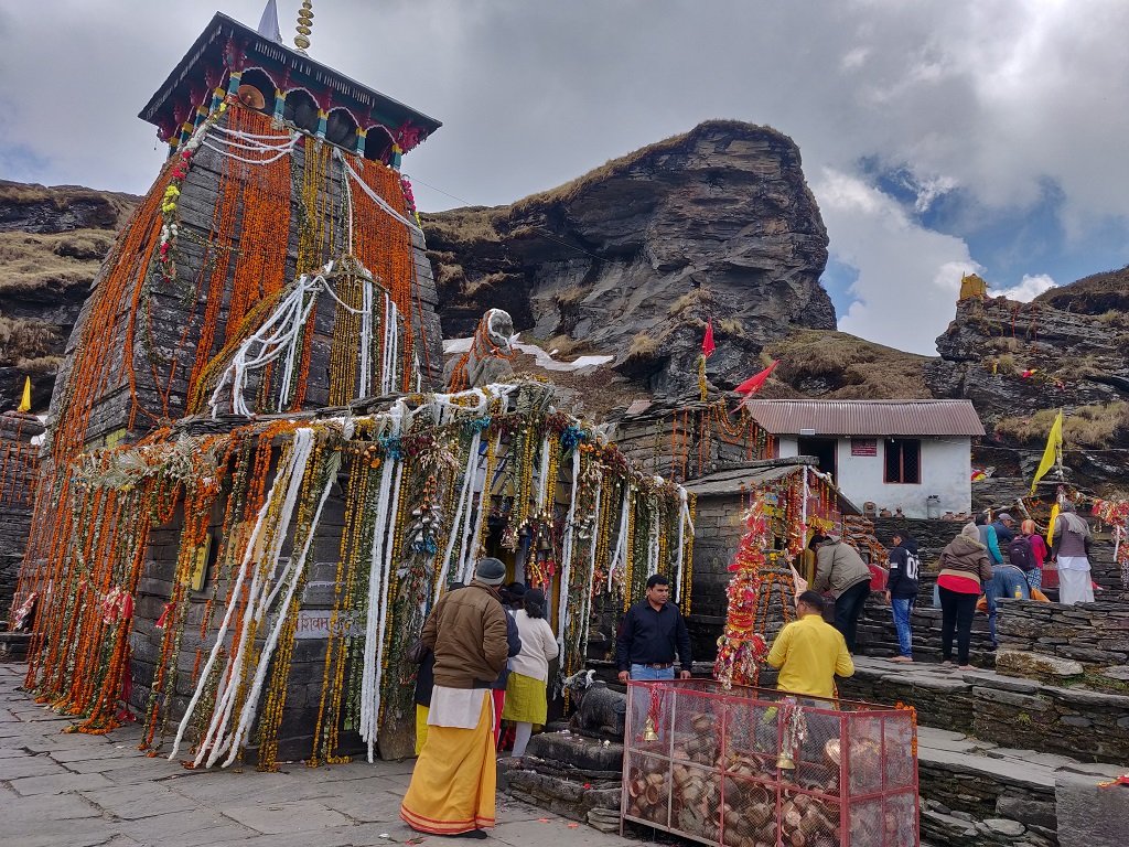
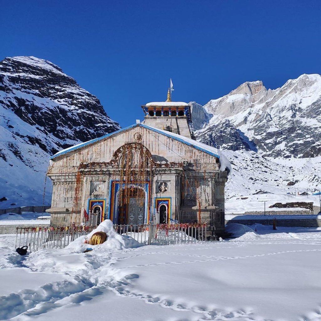
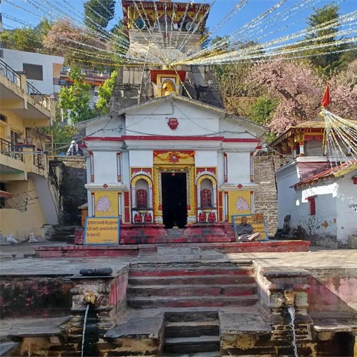
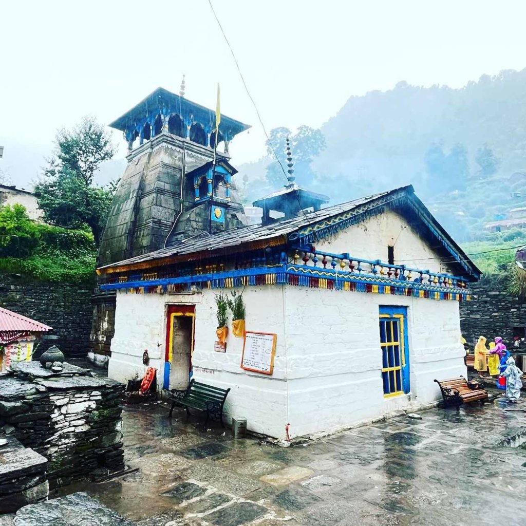
it is a picturesque and culturally rich village situated near the town of Badrinath in the Chamoli district of Uttarakhand, India. It is not only a tourist spot but also a place that holds religious and historical significance in Hindu mythology. It remains a serene location, attracting pilgrims, trekkers, and nature enthusiasts alike. Badrinath Temple, While not in itself, it’s nearby and holds immense religious significance as one of the Char Dham pilgrimage sites for Hindus.
Mythology About Mana
it is a quaint town, carries echoes of Hindu mythology, particularly the Mahabharata. Legend has it that the Pandavas traversed through Mana on their celestial journey to heaven. Notably, Bheem, one of the Pandava brothers, is credited with creating the iconic ‘Bheem Pool’—a substantial rock structure serving as a bridge over the sacred River Saraswati. Witness the tangible connections to ancient mythology as you explore the mystical town.
Attractions in Mana
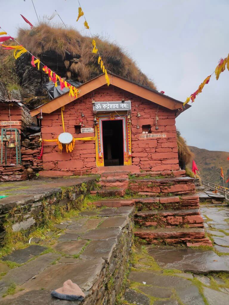
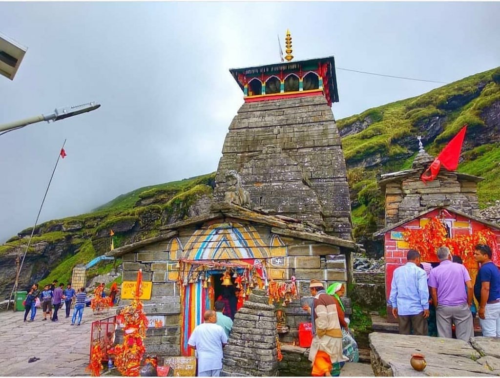
- Vyasa Cave: Vyasa Cave is believed to be the place where the sage Ved Vyasa, the author of the Mahabharata, composed the epic scripture. It is said that he dictated the verses of the Mahabharata to Lord Ganesha, who acted as his scribe.
- Bhim Pul: One of the prominent attractions in there is the Bhim Pul, a natural stone bridge over the Saraswati River. According to folklore, Bhima, one of the Pandava brothers, placed this massive stone bridge to help Draupadi, the wife of the Pandavas, cross the river.
- Saraswati Udgam: The origin point of the sacred Saraswati River, believed to be a subterranean flow emerging from a stone slab. Pilgrims consider it auspicious to take a dip in the holy waters here.
- Keshav Prayag: The confluence of River Saraswati and River Alaknanda, where the two rivers merge to form the river Ganges. It holds religious significance for Hindu devotees.
- Badrinath Temple: While technically located in Badrinath, this revered temple is just a short distance from There. Devotees visit this sacred shrine dedicated to Lord Badrinath.
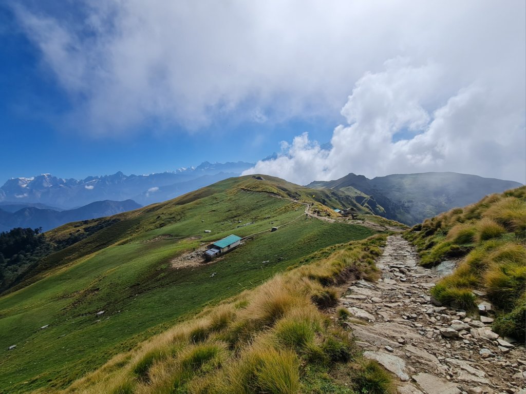
Treks from Mana Village
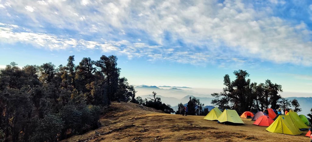
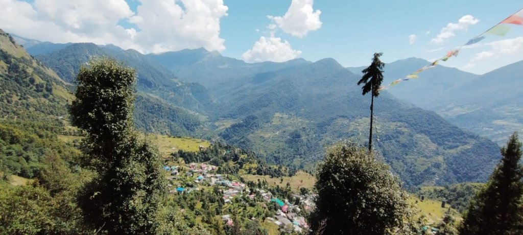
Trekking to Mana in India is an incredible experience, offering breathtaking views and a chance to immerse yourself in the stunning Himalayan landscape.
- Mana to Vasudhara: This trek is renowned for the majestic Vasudhara Falls.The trek starts from Mana and leads you through picturesque trails, offering mesmerizing views of the surrounding mountains.
- Mana to Satopanth: The trek from Mana to Satopanth Lake is a challenging yet spiritually rewarding journey. Satopanth Lake is considered sacred by Hindus, and the trek involves traversing rugged terrain and high-altitude paths.
How To Reach Mana Village
By Road
- Mana Village is accessible by road from various nearby towns like Badrinath, which is approximately 24 kilometers away.
- You can reach Badrinath by road from major cities like Dehradun, Rishikesh, Haridwar, and Delhi.
- From Badrinath, you can hire a local taxi or take a shared jeep to reach Mana Village. The road to Mana Village is scenic but can be challenging due to its mountainous terrain.
By Train
The nearest major railway station to Mana Village is in Rishikesh. From Rishikesh, you can take a bus or hire a taxi to reach Badrinath. Once in Badrinath, follow the road route mentioned above to reach Mana Village.
By Air
The nearest airport to Mana Village is the Jolly Grant Airport in Dehradun. From Dehradun, you can either hire a taxi or take a bus to reach Badrinath. After reaching Badrinath, follow the road route mentioned above to reach Mana Village.
More Info :- Click here how to Reach Mana Village