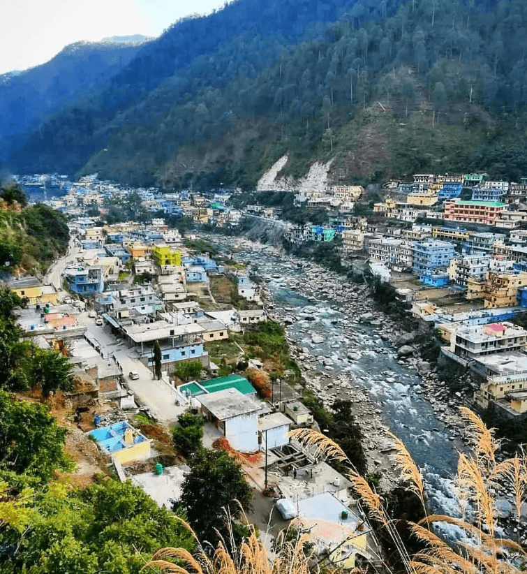
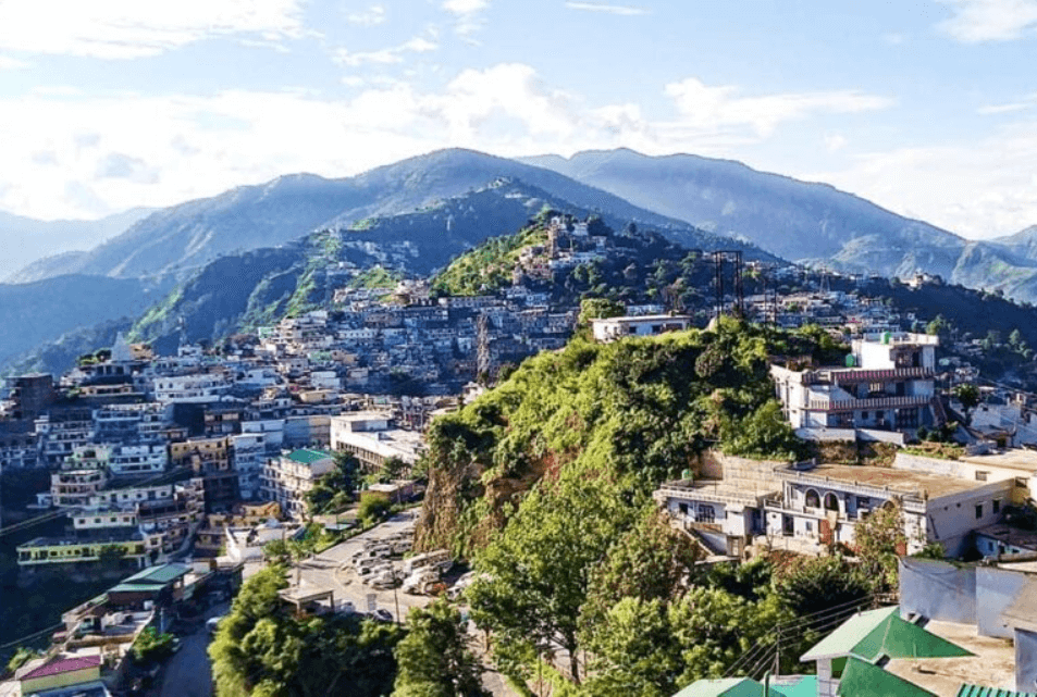
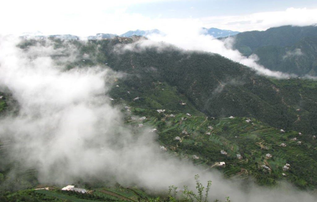
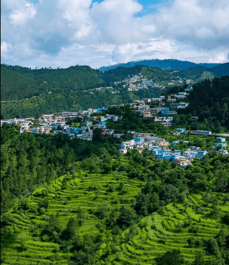
Ghansali seems like a quaint little town nestled in the lap of nature, with its strategic location near the confluence of Bhilangana and Bal Ganga rivers. Being a market hub for nearby villages, it must play a vital role in the local community. The elevation of 976 meters adds a touch of altitude charm.
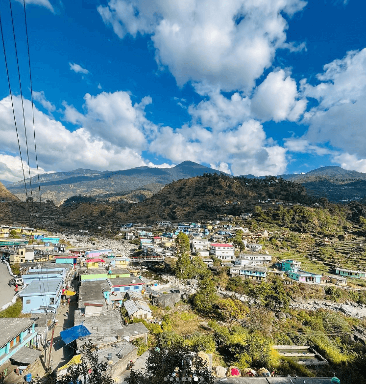
Ghansali In New Tehri
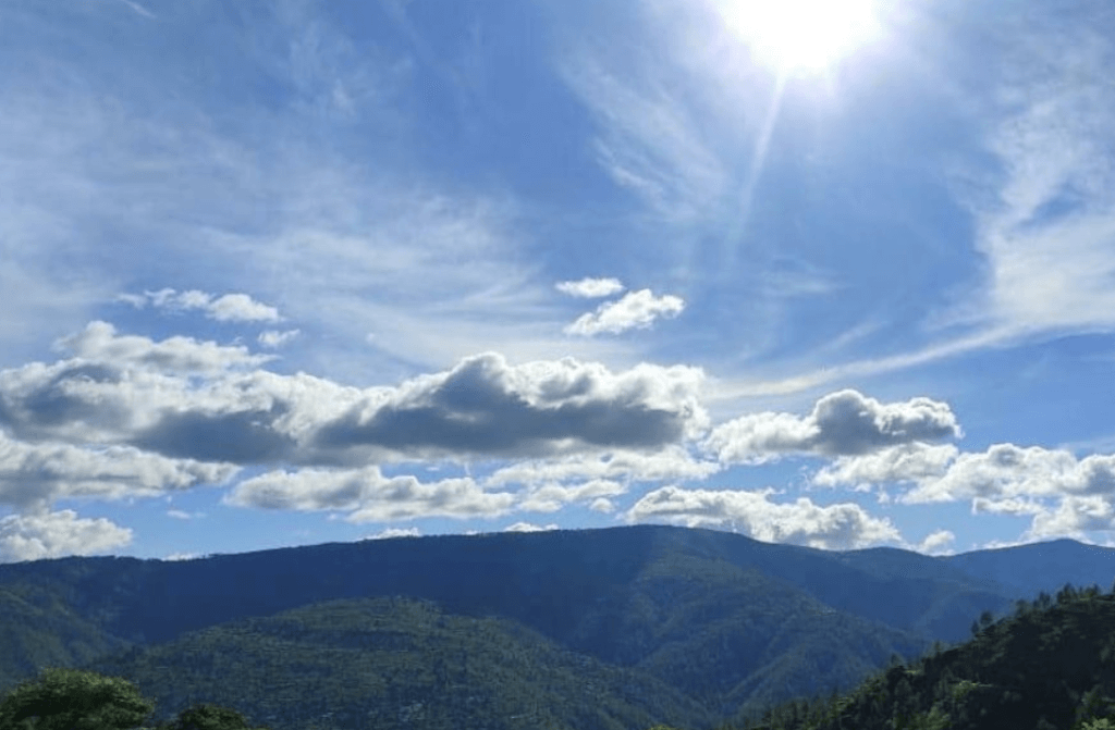
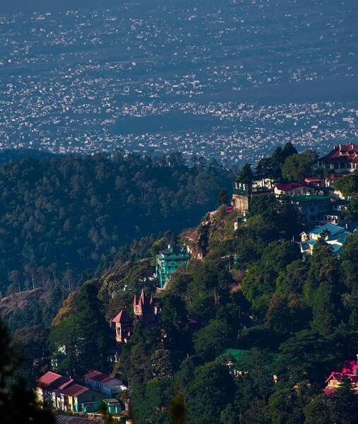
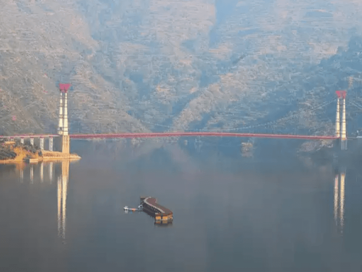
Ghansali is a town in the Tehri Garhwal district of Uttarakhand, India. It’s a beautiful region nestled in the Himalayas, known for its picturesque landscapes and serene surroundings. The town is surrounded by hills and is located near the Tehri Dam, one of the largest dams in India.The area is rich in cultural and natural heritage, offering a peaceful retreat for those seeking tranquility in the mountains.
Near Place to Vist

How To Reach Sankri
Sankri is a picturesque village located in the Uttarkashi district of the Indian state of Uttarakhand. It serves as a…
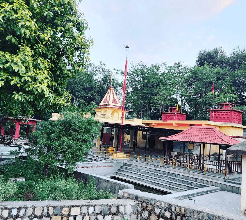
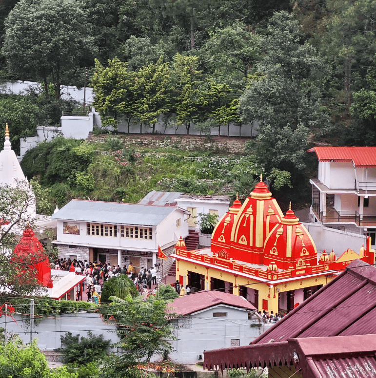
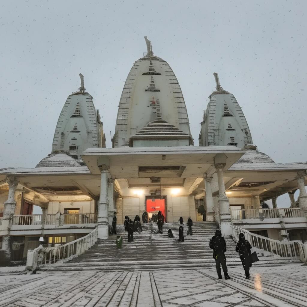
Chandrabani Temple
Chandrabani Temple is a significant religious site located in Dehradun, Uttarakhand, India. It is dedicated to Goddess Chandrabani, who is…
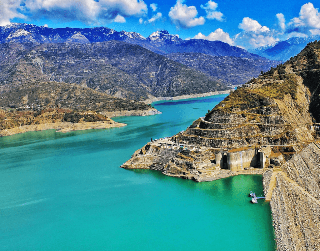
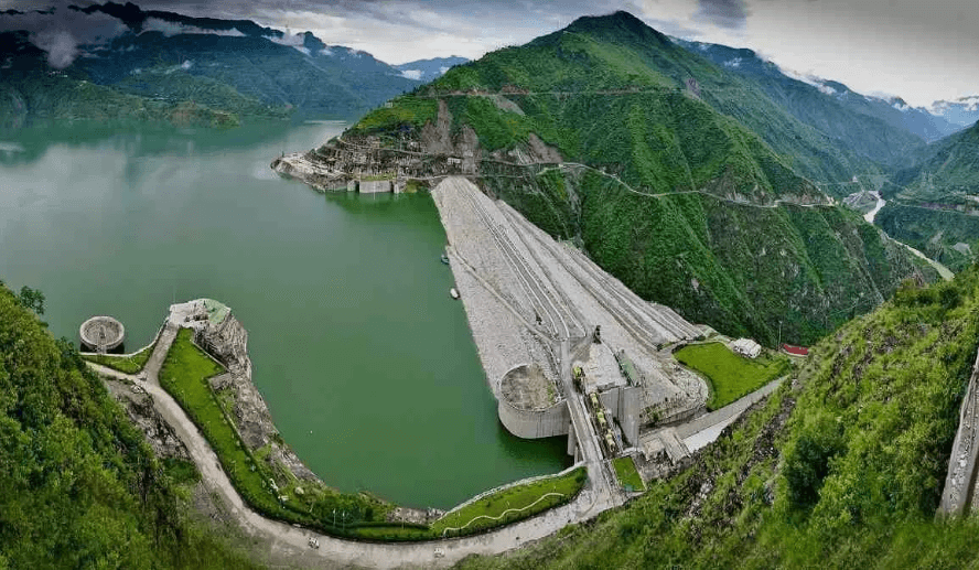
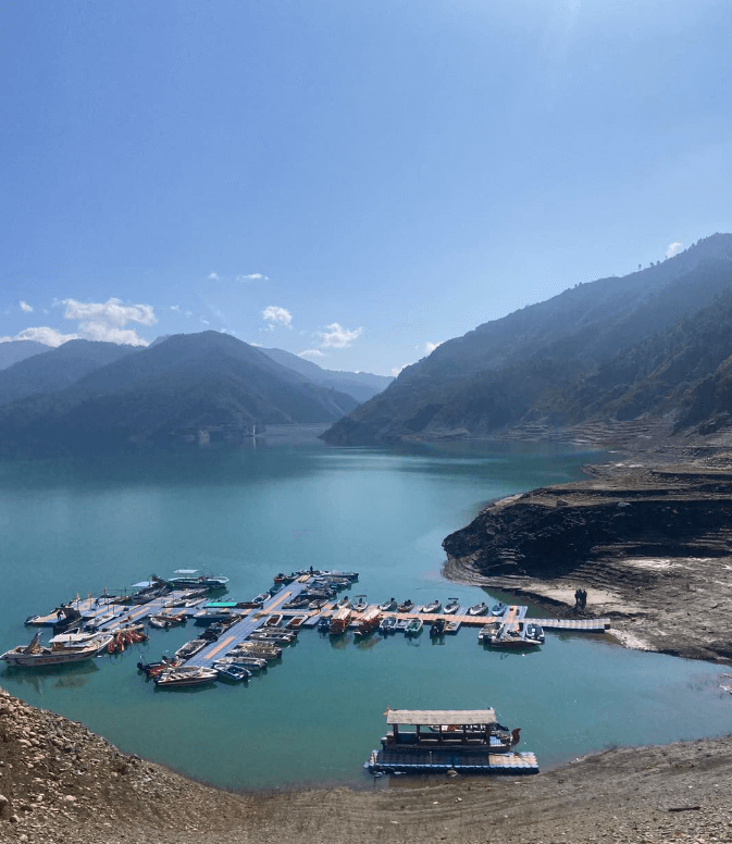
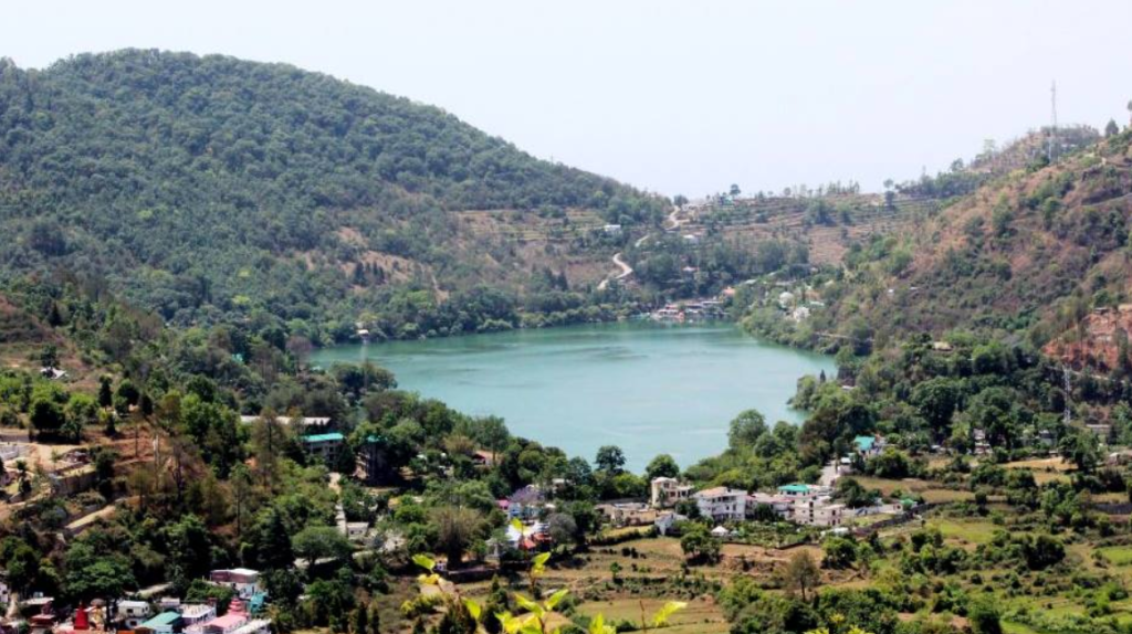
Tehri Lake
Tehri Lake, also known as Tehri Dam Reservoir, is a large artificial reservoir located in the state of Uttarakhand in…
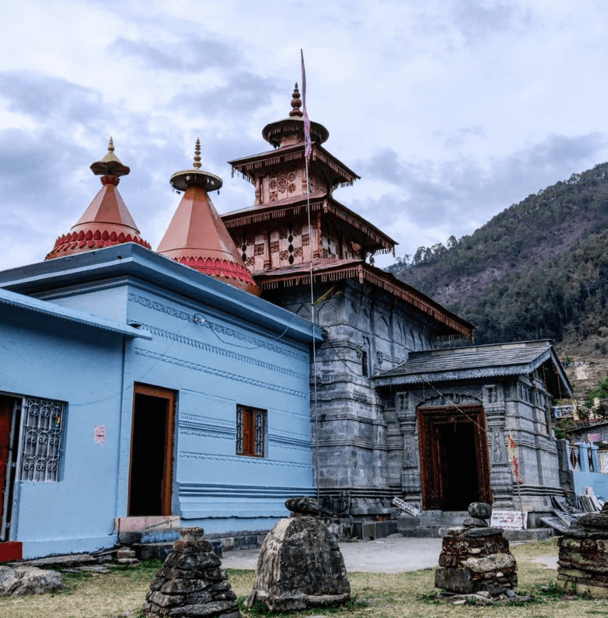
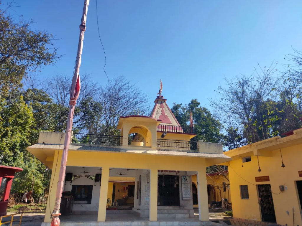
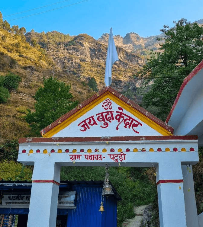
Budha Kedar
Budha Kedar, located in Tehri Garhwal, Uttarakhand, is a sacred site dedicated to Lord Shiva. It is renowned for hosting…
How To Reach Ghansali
By Road
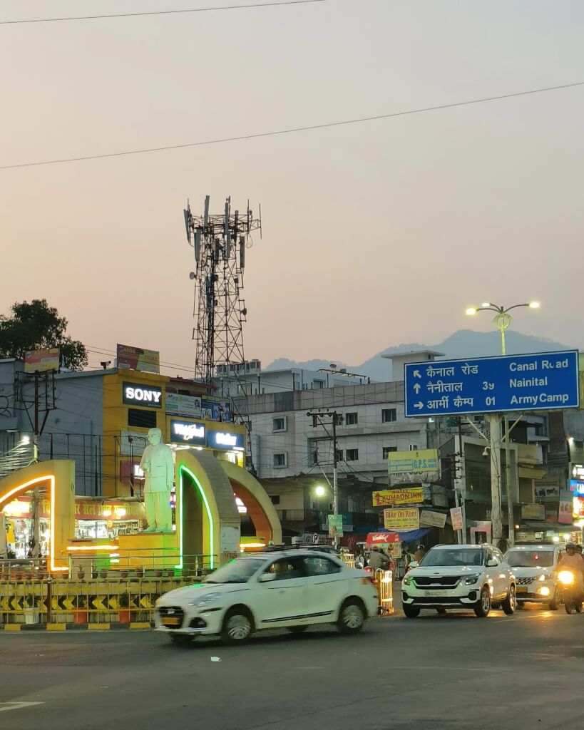
You can also reach Ghansali by road. There are regular bus services from major cities in Uttarakhand to Ghansali. Alternatively, you can hire a taxi or drive yourself if you prefer a more personalized journey.
By Train
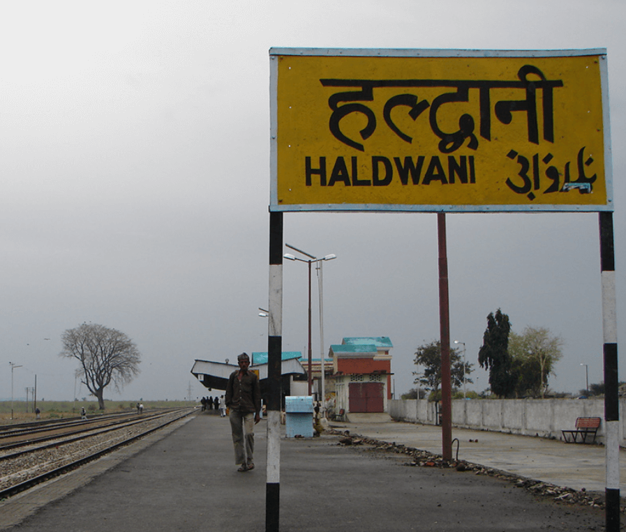
The nearest railway station is Rishikesh Railway Station, around 136 kilometers away. After reaching Rishikesh, you can hire a taxi or take a bus to cover the remaining distance to Ghansali.
By Air
The nearest airport is Jolly Grant Airport in Dehradun, which is approximately 164 kilometers away from Ghansali. From the airport, you can hire a taxi or take a bus to reach Ghansali.