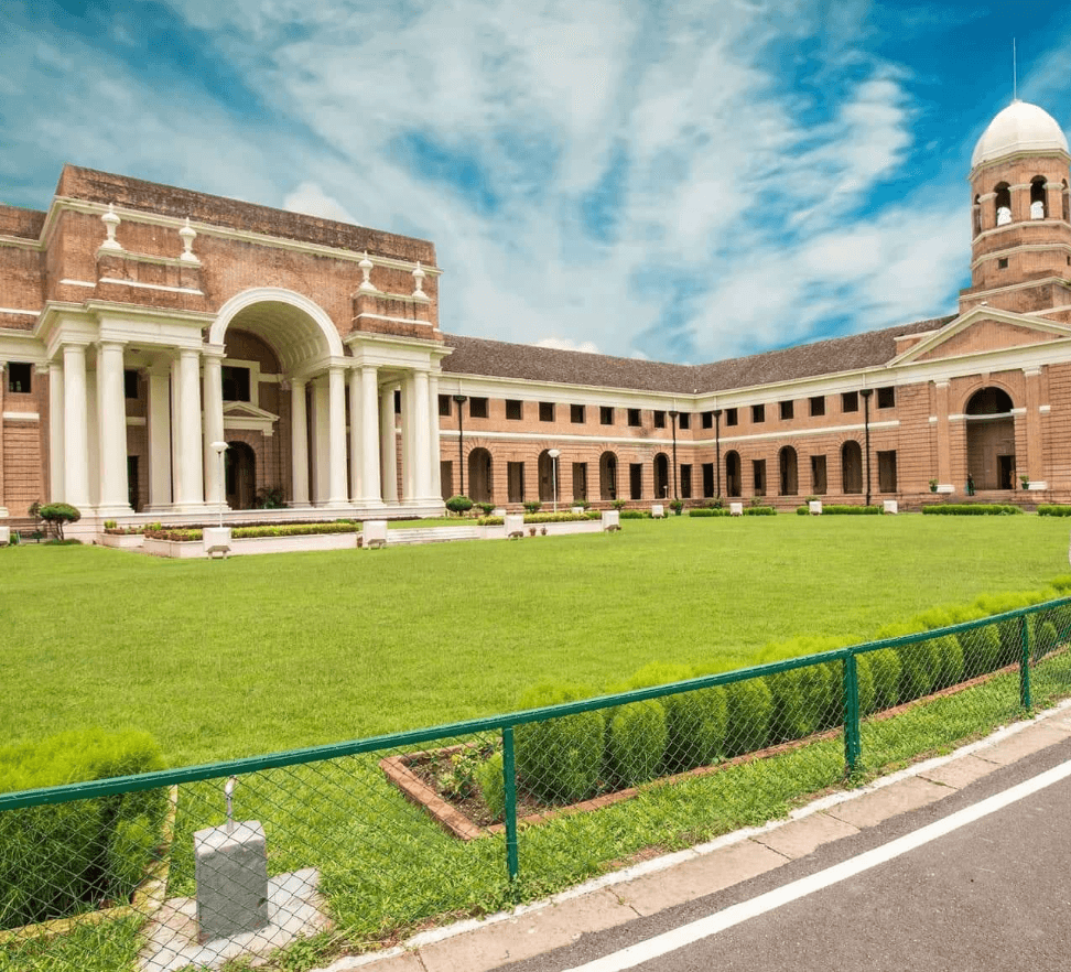
Haridwar is an ancient city located in the state of Uttarakhand in northern India. It holds great religious and cultural significance and is one of the seven holiest places in Hinduism. The city is situated on the banks of the Ganges River, where the river leaves the Himalayan foothills and enters the plains.
How To Reach Haridwar
By Air: The nearest airport to Haridwar is Jolly Grant Airport in Dehradun, which is about 35 kilometers away. From there, you can hire a taxi or take a bus to reach Haridwar.
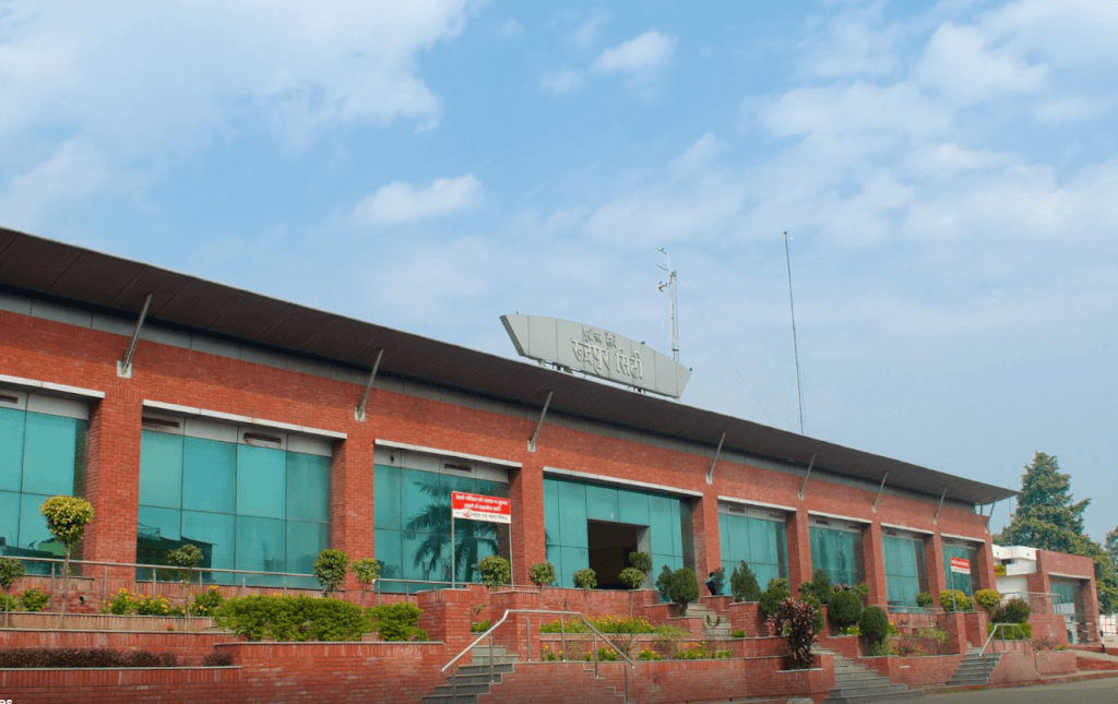
By Train: Haridwar is well-connected by train to major cities in India. There are frequent trains from Delhi, Mumbai, Kolkata, Chennai, and other major cities. Haridwar Junction Railway Station is the main railway station in the city.
By Road: Haridwar is well-connected by road to major cities like Delhi, Dehradun, Rishikesh, and others. You can either drive your own vehicle or take a bus. There are regular bus services from Delhi, Dehradun, and other nearby cities to Haridwar.
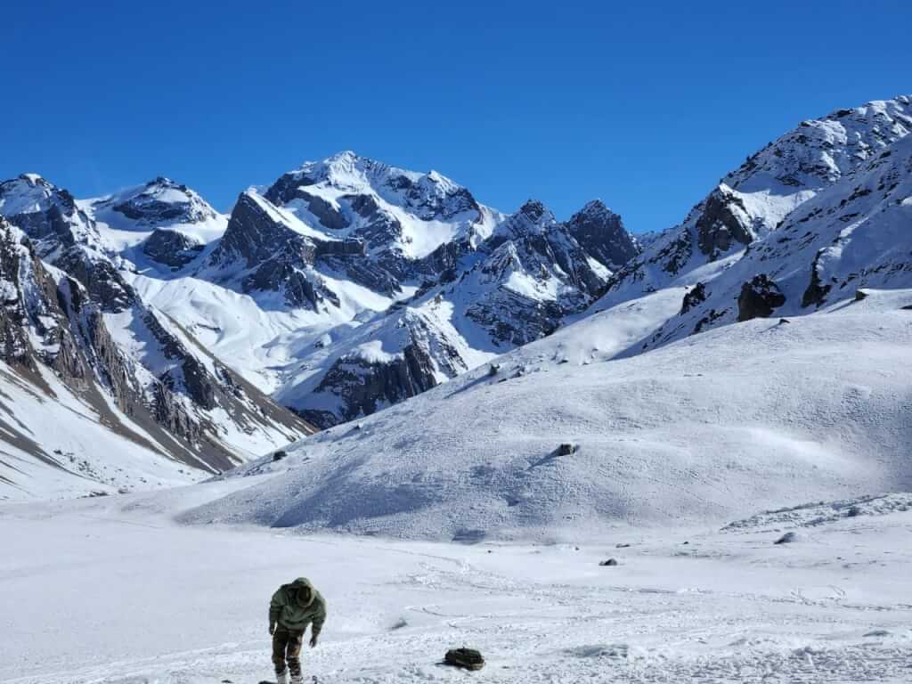
Adi kailash Yatra Package From Kathgodam
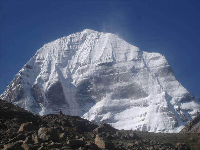
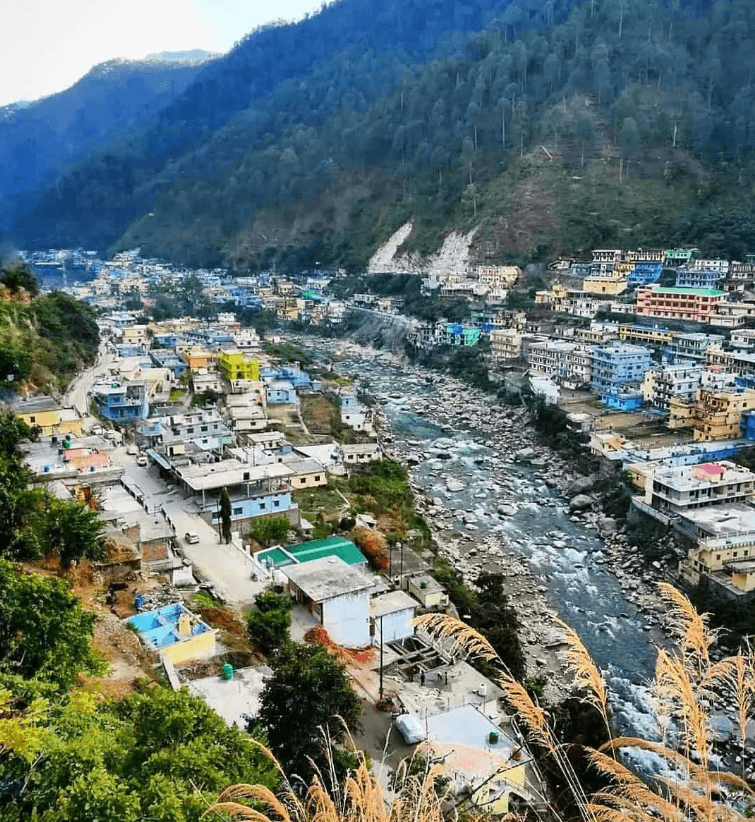
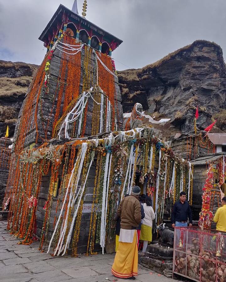
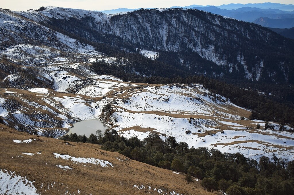
Adi Kailash
Adi Kailash, also known as Chhota Kailash, is a sacred mountain located in the Indian state of Uttarakhand. Standing tall…
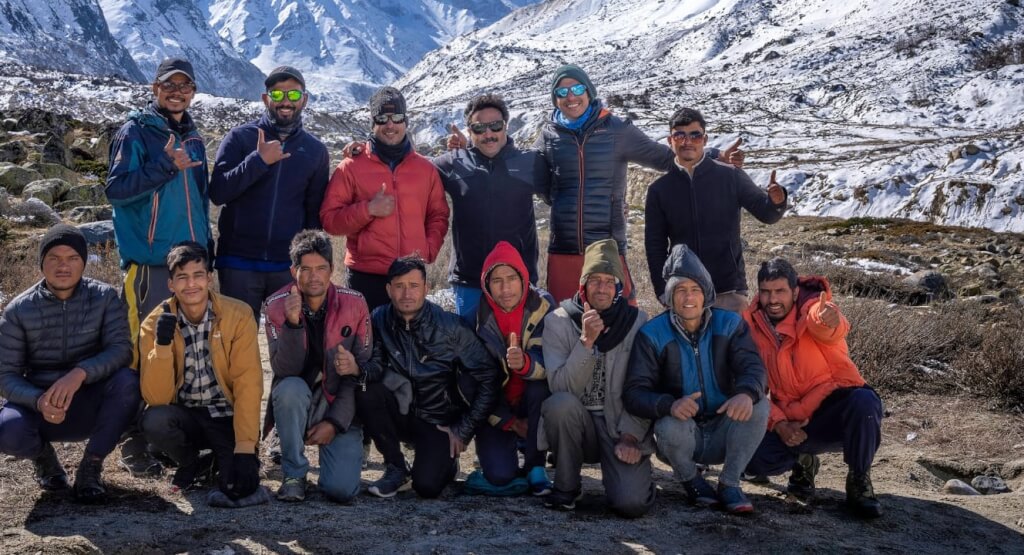
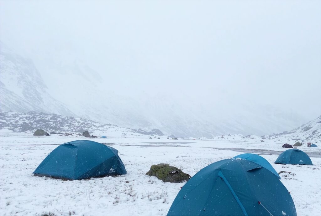
Adi kailash Yatra from Delhi
Yatra Overview Reporting Time & Place :- Ajmeri Gate Side at 0900 Hr Save 20% on Yatra CostRs 36,000/ (Delhi to Delhi)…
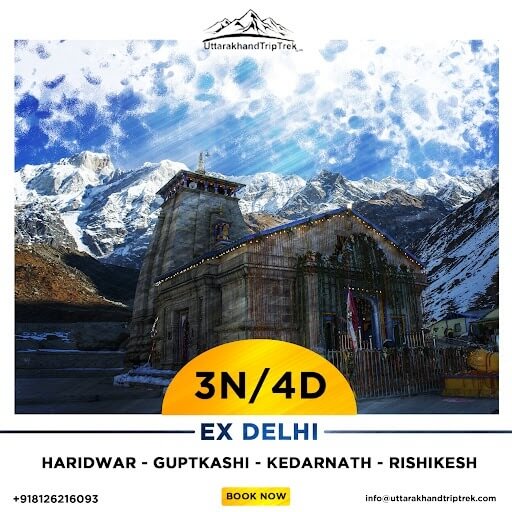
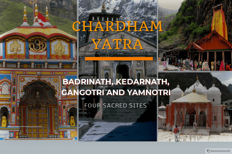
Char Dham Yatra Package
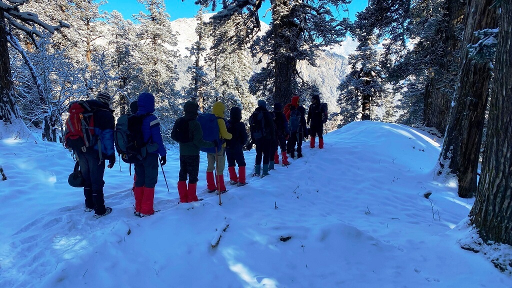
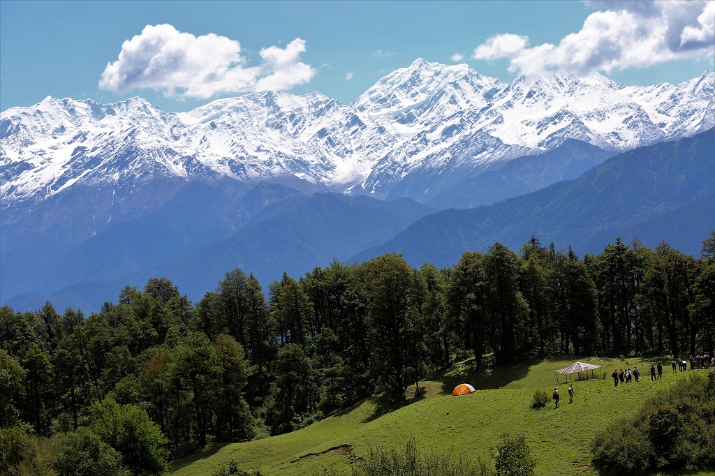
Uttarakhand Trekking Package
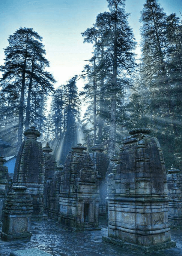
Near Places to Visit
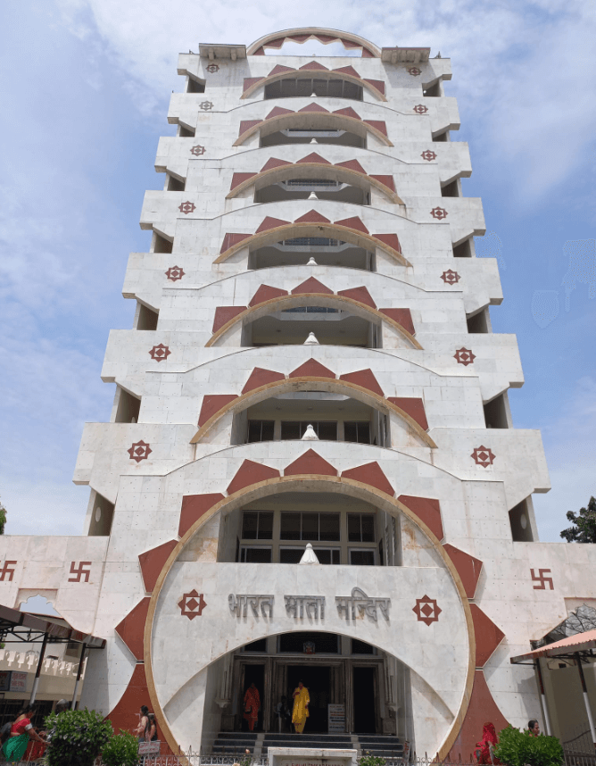
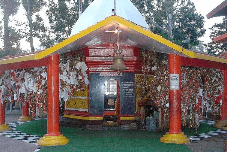
Bharat Mata Mandir
There is a famous Bharat Mata Temple in Uttarakhand, Haridwar,which was inaugurated by Indira Gandhi in 1983. In this temple,
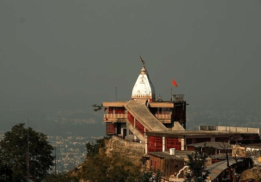
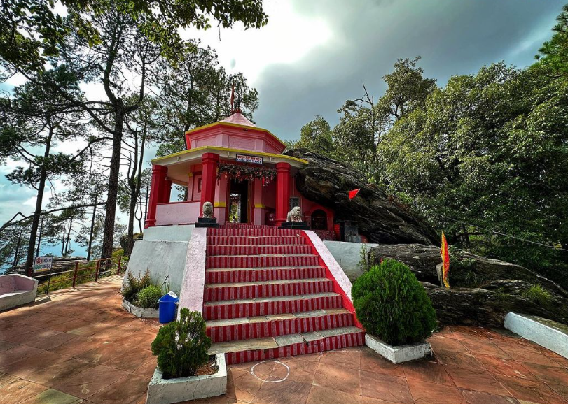
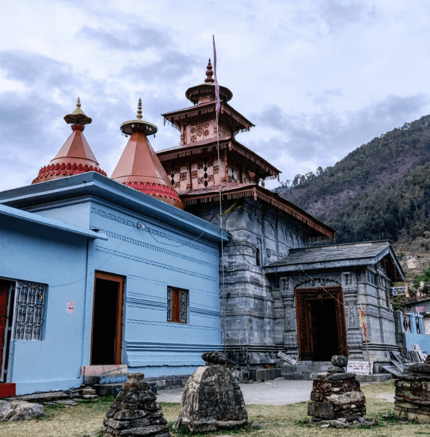
Chandi Devi Temple
Chandi Devi Temple is a Hindu temple dedicated to Goddess Chandi, located on the Neel Parvat in the holy city

Har Ki Pauri
Har Ki Pauri is a famous ghat (steps leading to a river) on the banks of the Ganges River in