1. Where is Kausani located?
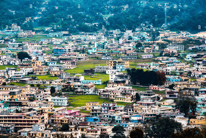
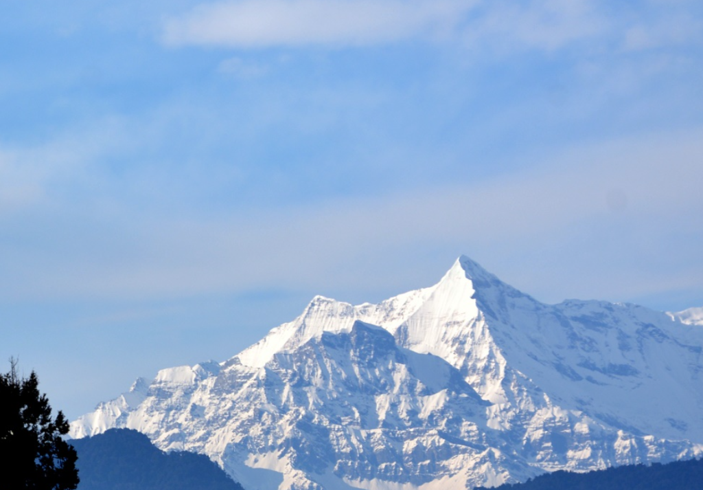
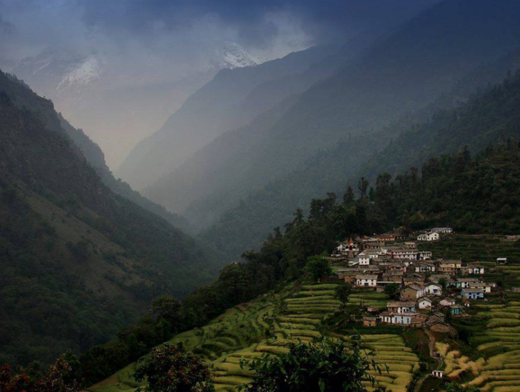
Kausani is a picturesque hill station located in the Bageshwar district of Uttarakhand, India. It is situated at an altitude of about 1,890 meters (6,200 feet) above sea level.
2. What is the best time to visit Kausani?
The best time to visit Kausani is from March to June and September to November. During these months, the weather is pleasant with temperatures ranging from 10°C to 25°C, making it ideal for sightseeing and outdoor activities.
3. How far is Kausani from major cities like Delhi and Dehradun?
Kausani is approximately 420 kilometers (260 miles) from Delhi and around 450 kilometers (280 miles) from Dehradun. The travel time can vary depending on road conditions and mode of transportation.
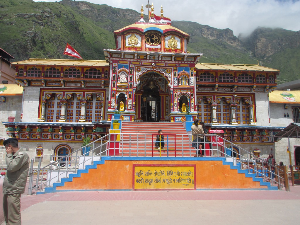
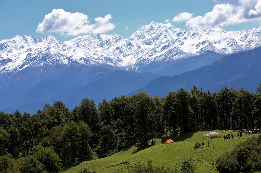
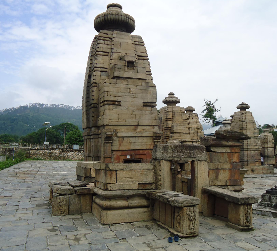
4. What are the main attractions in Kausani?
Some popular tourist attractions in Kausani include:
Anasakti Ashram (Gandhi Ashram)
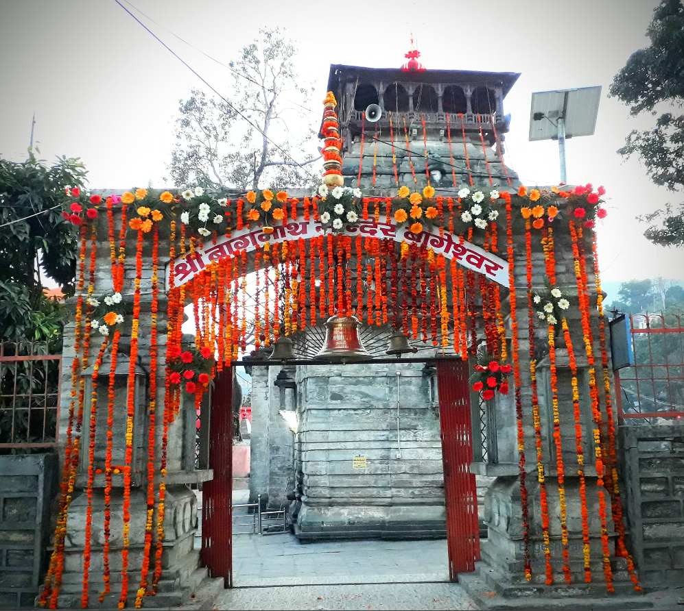
Baijnath Temple
Rudradhari Falls and Caves
Kausani Tea Estate
Viewpoints like Gandhi Ashram viewpoint and Pant Museum viewpoint
5. What adventure activities can one enjoy in Kausani?
Adventure enthusiasts can indulge in activities like:
Camping, Trekking to nearby places like Pinnath, Bageshwar, and Someshwar, Nature walks amidst oak and pine forests, Bird watching
6.What are the accommodation options in Kausani?
Kausani offers a range of accommodation options including hotels, resorts, guesthouses, and homestays. There are options available to suit different budgets and preferences.
7. Is Kausani suitable for a family vacation?
Yes, Kausani is a great destination for a family vacation due to its serene atmosphere, beautiful views of the Himalayas, and opportunities for leisurely walks and sightseeing.
8. What should I pack for a trip to Kausani?
Warm clothes (especially in winter)
Comfortable walking shoes
Sunscreen and sunglasses Camera- Personal medications
Umbrella or raincoat (during monsoon)
9. 10. How is the road condition to Kausani?
The road to Kausani is generally good, especially from nearby cities like Almora and Ranikhet. It offers scenic views of the Himalayas, though caution is advised during the monsoon season when landslides can occur.
10. Are there any local festivals celebrated in Kausani?
Local festivals such as Makar Sankranti, Basant Panchami, and Diwali are celebrated with enthusiasm in Kausani, providing visitors a chance to experience local culture and traditions.
Adi kailash Yatra Package From Kathgodam
Sankri is a picturesque village located in the Uttarkashi district of the Indian state of Uttarakhand. It serves as a…
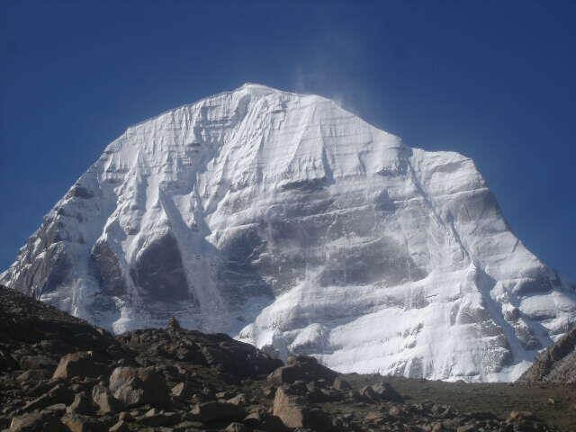
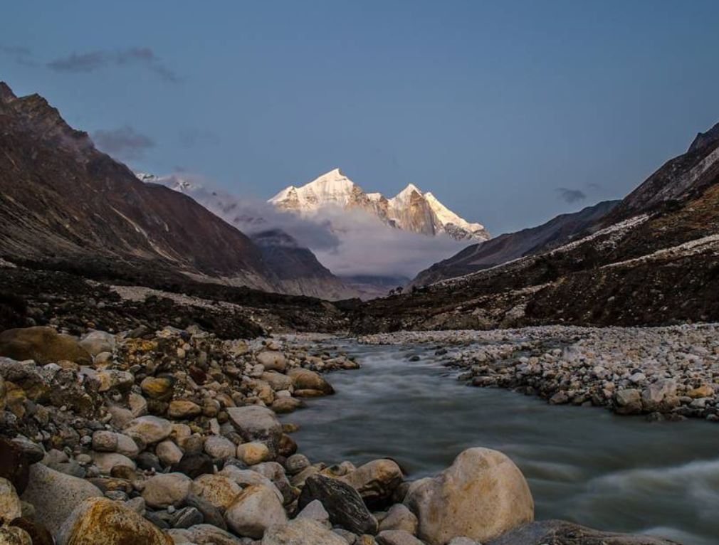
Adi Kailash, also known as Chhota Kailash, is a sacred mountain located in the Indian state of Uttarakhand. Standing tall…
Yatra Overview
Reporting Time & Place :- Ajmeri Gate Side at 0900 Hr
Save 20% on Yatra CostRs 42,000/ (Delhi to Delhi)…
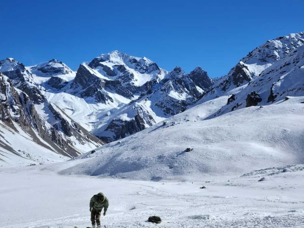
Adi Kailash & Om Parvat Yatra
Trek Overview
Duration: 06Nights / 07 Days …
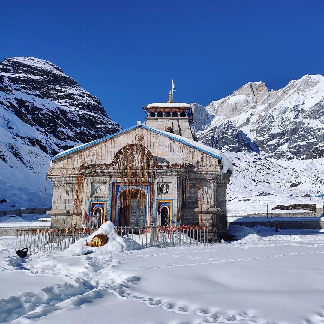
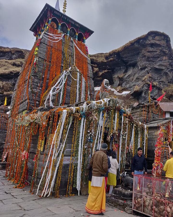
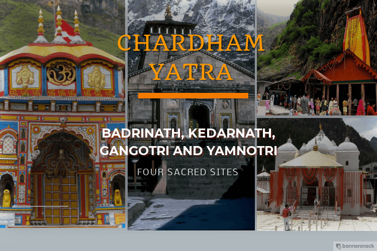
Char Dham Yatra Package
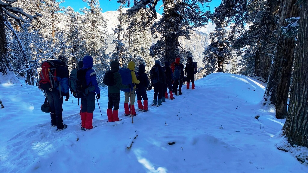
Uttarakhand Trekking Package