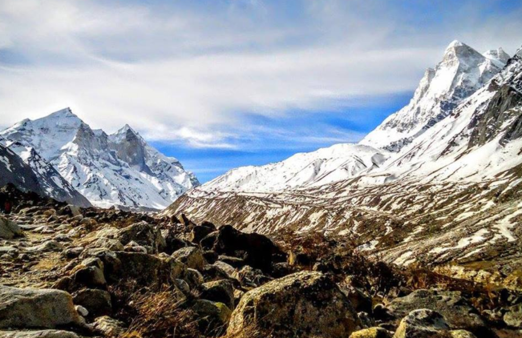
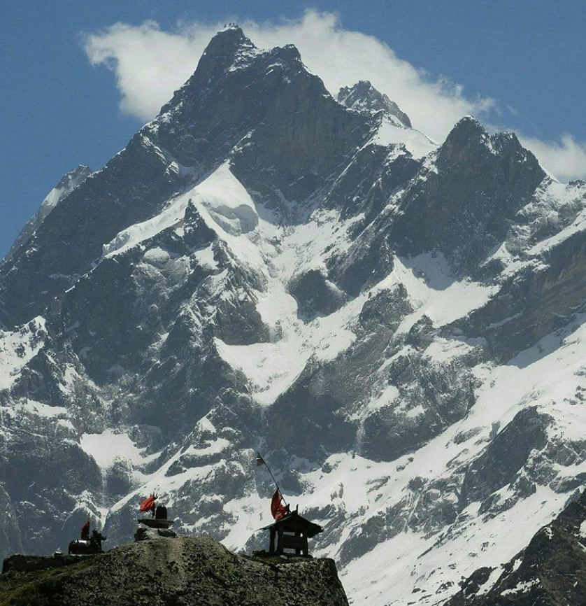
Yamuna River

The Yamuna River holds immense cultural, historical, and ecological significance in India. It is one of the major rivers of the Indian subcontinent, originating from the Yamunotri Glacier in the Himalayas and flowing through several states before merging with the Ganges River at Allahabad (now Prayagraj).

Some Key Points About the Yamuna River

Origin and Course: The Yamuna originates from the Yamunotri Glacier in the Uttarkashi district of Uttarakhand. It flows through the states of Uttarakhand, Himachal Pradesh, Haryana, Delhi, and Uttar Pradesh before joining the Ganges River.

Length and Tributaries: The Yamuna is about 1,376 kilometers long. Its major tributaries include the Tons, the Hindon, The Chambal, and the Betwa rivers.

Cultural and Religious Significance: The river holds great religious significance in Hinduism. It is considered the daughter of the Sun God, Surya, and the sister of Yama, the god of death. Many important Hindu pilgrimage sites are located along its banks, including Mathura, Vrindavan, and Agra.

Pollution Concerns: Despite its cultural importance, the Yamuna suffers from severe pollution due to industrial waste, sewage, and agricultural runoff. Efforts have been made to clean up the river, but pollution levels remain a significant challenge.

Ecological Importance: The river supports a diverse range of flora and fauna. However, pollution and habitat destruction have severely impacted its ecological health, endangering many species of plants and animals.

Water Management: Water management and conservation efforts are crucial for the sustainable use of the Yamuna’s resources. Several initiatives have been undertaken by governments and NGOs to address water pollution and improve water quality.

Overall, the Yamuna River is a vital lifeline for millions of people in India, but its health is threatened by pollution and unsustainable water use. Efforts to restore and preserve the river are essential for the well-being of both the environment and the communities that depend on it.

Mythology About Yamuna River

The Yamuna River holds a significant place in Hindu mythology and culture, intertwined with various myths and legends. Here are some prominent ones:

Yamuna as a Goddess: In Hinduism, Yamuna is revered as a goddess. She is often depicted as a beautiful maiden adorned with jewels, holding a water pot (kumbha) in her hands. She is considered the daughter of the sun god, Surya, and the sister of Yama, the god of death.
Bathing in the Yamuna: According to Hindu tradition, bathing in the Yamuna is considered highly auspicious and purifying. It is believed that a dip in the holy waters of the Yamuna can cleanse one of sins and bestow blessings and spiritual merit.
Yamuna as a Witness: In the epic Mahabharata, the Yamuna River is mentioned as a witness to various events, including the exile of the Pandavas and their meeting with the sage Vyasa. The Pandavas are said to have crossed the Yamuna during their journey to the forest.

Rivers In Uttarakhand
Tons River Tons River River 23

Tons River

The Tons River, also known as the Tamsa River, is one of the important tributaries of the Yamuna River in…

Ramganga River Ramganga River 22

Ramganga River

The Ramganga River is a significant watercourse in northern India, primarily flowing through the state of Uttarakhand. It originates from…

Bhagirathi River Bhagirathi River22

Bhagirathi River

The Bhagirathi River is one of the main tributaries of the Ganges River, which holds immense cultural, religious, and ecological…

Alaknanda River Alaknanda River 3

Alaknanda River

The Alaknanda River is one of the two main headstreams of the Ganges River, the other being the Bhagirathi River….

Ganga River River ganga22

Ganga River

The Ganga River, also known as the Ganges, holds immense cultural, spiritual, and economic significance in India. It originates from…

Saraswati River SARASWATI RIVER

Saraswati River

The Saraswati River, named for the Wisdom Goddess, originates in Uttarakhand and is a tributary of the Alaknanda River. At…

Ganga River

The Ganga River, also known as the Ganges, holds immense cultural, spiritual, and economic significance in India. It originates from the Gangotri Glacier in the Himalayas and flows through northern India, covering a distance of over 2,500 kilometers before emptying into the Bay of Bengal. The river passes through several major cities, including Haridwar, Allahabad, Varanasi, and Kolkata.

Key Points About Ganges

The Ganges, or Ganga, is one of the most significant rivers in the world, revered by millions of people in India and Bangladesh. Here are some key points about the Ganges:

Geography: The Ganges originates from the Gangotri Glacier in the Indian state of Uttarakhand and flows through the Gangetic Plain of North India into Bangladesh, where it empties into the Bay of Bengal.

Length: The river is about 2,525 kilometers (1,569 miles) long, making it one of the longest rivers in Asia.

Spiritual Significance: The Ganges holds immense religious significance in Hinduism. It is believed to be a goddess, Ganga, descending from heaven to Earth to cleanse the sins of mankind. Many Hindu rituals and ceremonies involve the use of Ganges water.

Cultural Importance: The river is not just a religious symbol but also a cultural icon. It has inspired poets, writers, and artists for centuries and features prominently in Indian literature, art, and music.

Economic Importance: The Ganges Basin is one of the most fertile and densely populated regions in the world. The river supports agriculture, fishing, transportation, and industry, contributing significantly to the economies of India and Bangladesh.

Conservation Efforts: Various governmental and non-governmental organizations are working to clean up the Ganges and restore its ecological balance. Initiatives include the construction of sewage treatment plants, promotion of eco-friendly cremation practices, and public awareness campaigns.

Wildlife: The Ganges supports a diverse array of aquatic life, including several endangered species such as the Ganges river dolphin, Gharial crocodile, and various species of turtles and fish. Conservation efforts are also directed towards protecting these species and their habitats.

Overall, the Ganges River holds immense cultural, spiritual, and economic significance for the people of South Asia, but it also faces significant challenges that require concerted efforts to address.

Mythology About Ganga River

The Ganga River holds immense mythological significance in Hinduism. According to Hindu mythology, the origin of the Ganga lies in the heavens, and it descended to the earth to fulfill a mission. Here are some key myths associated with the Ganga River:

Descent of the Ganga (Ganga Avatarana): The most famous mythological story about the Ganga is its descent to earth. King Bhagiratha, an ancestor of Lord Rama, performed intense penance to bring the Ganga down to earth to cleanse the souls of his ancestors. His penance pleased Lord Brahma, who granted his wish but warned that the force of Ganga’s fall would be too great for the earth to bear. So, Lord Shiva agreed to break her fall with his hair, and the river descended gently from his locks, flowing through the Himalayas and onto the plains.
Ganga as a Purifier: In Hindu belief, the waters of the Ganga are considered sacred and purifying. Bathing in the Ganga is believed to cleanse one of sins and facilitate moksha (liberation from the cycle of birth and death). It’s also believed that the ashes of the dead scattered in the Ganga can help the departed souls attain salvation.
Ganga as a Goddess: The Ganga is personified as a goddess, Ganga Devi or Ganga Ma. She is often depicted as a beautiful woman riding on a crocodile or seated on a lotus, holding a water pot or a branch of a tree. She is revered as a mother figure and worshipped by millions of Hindus.

Rivers In Uttarakhand
Tons River Tons River River 23

Tons River

The Tons River, also known as the Tamsa River, is one of the important tributaries of the Yamuna River in…

Ramganga River Ramganga River 22

Ramganga River

The Ramganga River is a significant watercourse in northern India, primarily flowing through the state of Uttarakhand. It originates from…

Bhagirathi River Bhagirathi River22

Bhagirathi River

The Bhagirathi River is one of the main tributaries of the Ganges River, which holds immense cultural, religious, and ecological…

Alaknanda River Alaknanda River 3

Alaknanda River

The Alaknanda River is one of the two main headstreams of the Ganges River, the other being the Bhagirathi River….

Yamuna River River yamuna

Yamuna River

The Yamuna River holds immense cultural, historical, and ecological significance in India. It is one of the major rivers of…

Saraswati River SARASWATI RIVER

Saraswati River

The Saraswati River, named for the Wisdom Goddess, originates in Uttarakhand and is a tributary of the Alaknanda River. At…

How To Reach Ganga River

Reach Uttarakhand: If you’re coming from outside Uttarakhand, you’ll first need to reach the state. You can do this by air, rail, or road. The nearest airport is in Dehradun, the capital city of Uttarakhand. You can also reach Uttarakhand by train or by road from major cities like Delhi.

Choose a Destination: Uttarakhand has several towns and cities along the Ganga River. Some popular destinations include Rishikesh, Haridwar, Devprayag, and Gangotri. Depending on your interests and itinerary, you can choose the destination that suits you best.

Transportation to Your Chosen Destination: Once in Uttarakhand, you can use various modes of transportation to reach your chosen destination along the Ganga River. Buses, taxis, and shared jeeps are common modes of transport. If you’re going to Rishikesh or Haridwar, you’ll find frequent bus and train services from major cities.

Explore: Once you reach your destination, you can explore the Ganga River and the surrounding areas. Depending on where you are, you can take part in activities like river rafting, temple visits, or simply enjoy the serene beauty of the river.

Panwali Bugyal

Panwali Bugyal is a picturesque alpine meadow located in the Chamoli district of Uttarakhand, India. “Bugyal” is a term used in the local language for high-altitude grasslands, and Panwali Bugyal is one of the largest and most stunning ones in the region. It is situated at an altitude of around 3,000 to 4,000 meters above sea level, making it a popular destination for trekkers and nature enthusiasts.

Panwali Bugyal In Chamoli

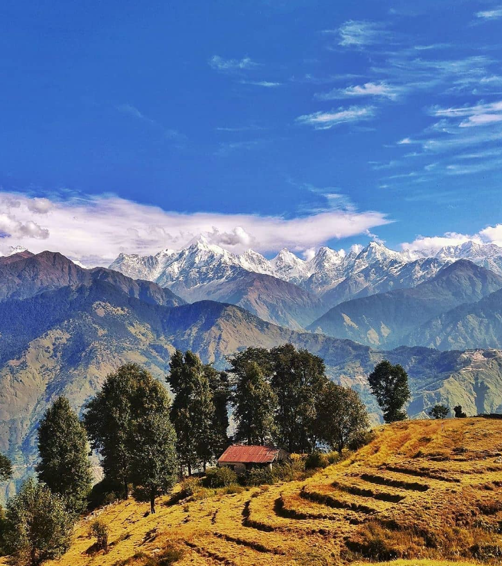
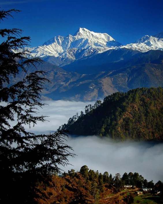
The meadow stretches over several kilometers and offers breathtaking panoramic views of the surrounding Himalayan peaks, including Trishul, Nanda Devi, and Chaukhamba. The meadow is adorned with a variety of alpine flowers during the summer months, creating a colorful carpet against the backdrop of snow-capped mountains.
Trekking to Panwali Bugyal usually involves starting from a base camp in nearby villages like Ghuttu or Saur. The trekking trail passes through dense forests, gushing streams, and quaint villages before reaching the expansive meadow. It’s a moderately challenging trek, suitable for both novice and experienced trekkers.

Activities In Panwali Bugyal

Trekking: Panwali Bugyal offers some fantastic trekking opportunities amidst breathtaking landscapes. You can embark on treks to nearby peaks like Panwali Khal, Nag Tibba, and Dayara Bugyal.

Camping: Set up your tents amidst the lush green meadows and enjoy a night under the stars. Camping in Panwali Bugyal provides a serene experience close to nature.

Photography: The panoramic views of the Himalayan peaks, lush meadows, and vibrant flora make Panwali Bugyal a paradise for photographers. Capture the beauty of this pristine landscape with your camera.

Nature Walks: Take leisurely walks through the meadows, breathing in the fresh mountain air and soaking in the tranquility of the surroundings. Nature walks offer a great opportunity to connect with the natural beauty of Panwali Bugyal.

Meditation and Yoga: Find a serene spot amidst the meadows to practice meditation or yoga. The tranquil environment of Panwali Bugyal provides an ideal setting for rejuvenating your mind, body, and soul.

Picnicking: Pack a picnic basket and spend a day amidst the scenic beauty of Panwali Bugyal. Enjoy a meal with your loved ones surrounded by lush greenery and panoramic mountain views.

Wildlife Spotting: Keep an eye out for wildlife such as Himalayan musk deer, bharal (blue sheep), and various species of birds that inhabit the region. Wildlife spotting adds an adventurous element to your visit to Panwali Bugyal.

Ghuttu uttarakhand ghuttu

Ghuttu

Ghuttu is a small town located in the Tehri Garhwal district of Uttarakhand, India. Situated amidst the majestic Himalayas, Ghuttu…

Chamoli The panch DHARA

Chamoli

Chamoli District, located in the northern state of Uttarakhand, India, is a picturesque region known for its stunning landscapes, diverse…

Sari Village Sari village

Sari Village

Sari Village is situated in the Rudraprayag district of Uttarakhand, surrounded by lush greenery and the majestic Himalayan peaks.  It…

How To Reach Panwali Bugyal

By Air: The nearest airport to Panwali Bugyal is the Jolly Grant Airport in Dehradun. From there, you can hire a taxi or take a bus to reach the base villages like Ghuttu or Sari, from where the trek to Panwali Bugyal begins.

By Train: The nearest major railway station is Rishikesh Railway Station. From Rishikesh, you can take a taxi or bus to Ghuttu or Sari, the base villages for the trek.

By Road: Ghuttu and Sari are the two main base villages for trekking to Panwali Bugyal. You can reach these villages by road from major cities like Dehradun, Rishikesh, or Haridwar. Regular bus services and shared taxis are available from these cities to Ghuttu and Sari. Once you reach Ghuttu or Sari, you can start the trek to Panwali Bugyal. The trek usually takes around 2-3 days, depending on your pace and route chosen.

Kushkalyani Bugyal

Kush kalyani Bugyal is a high-altitude alpine meadow located in the Indian state of Uttarakhand, within the Garhwal region of the Himalayas. Bugyals are typical to this region, referring to vast expanses of green meadows that are found at elevations ranging from about 3,000 to 4,000 meters above sea level.

Kushkalyani Bugyal In Tehri Garhwal

Kushkalyani Bugyal is a beautiful alpine meadow located in the Tehri Garhwal district of Uttarakhand, India. Bugyals are high-altitude grasslands that are characteristic of the Uttarakhand region, and Kushkalyani is one of the stunning examples of these natural landscapes.

Kushkalyani Bugyal is renowned for its scenic beauty, offering panoramic views of snow-capped peaks, dense forests, and alpine flora. It’s a popular destination for trekkers and nature enthusiasts seeking to experience the pristine Himalayan landscape.

Activities In Kushkalyani Bugyal

Trekking: Kushkalyani Bugyal is surrounded by picturesque trails that are perfect for trekking enthusiasts. You can embark on treks of varying difficulty levels, exploring the lush greenery, meadows, and panoramic views of the Himalayan peaks.

Camping: Set up your camp amidst the serene surroundings of Kushkalyani Bugyal and experience the tranquility of nature. Camping here allows you to immerse yourself fully in the beauty of the Himalayas, with clear skies perfect for stargazing.

Photography: With its stunning landscapes, vibrant flora, and fauna, Kushkalyani Bugyal offers ample opportunities for photography enthusiasts.

Picnicking: Enjoy a leisurely picnic amidst the pristine surroundings of Kushkalyani Bugyal. Pack a picnic basket with your favorite snacks and spend a relaxing day with friends and family, soaking in the natural beauty of the Himalayas.

Nature Walks: Take leisurely strolls through the bugyal, exploring its diverse flora and fauna. Enjoy the fresh mountain air, listen to the sounds of nature, and rejuvenate your senses as you immerse yourself in the tranquility of the Himalayas.

Adventure Sports: For the more adventurous souls, Kushkalyani Bugyal offers opportunities for activities such as rock climbing, rappelling, and paragliding.

Tehri Dam tehri tehri damtehri tehri dam

Tehri Dam

Tehri Dam is a massive dam located on the Bhagirathi River in the northern part of India. It’s one of…

Tehri Lake UTTARAKHAND TEHRI LAKE

Tehri Lake

Tehri Lake, also known as Tehri Dam Reservoir, is a large artificial reservoir located in the state of Uttarakhand in…

How To Reach Kushkalyani Bugyal

By Air: The nearest airport to Kushkalyani Bugyal is the Jolly Grant Airport in Dehradun. From the airport, you can hire a taxi or use public transport to reach the base village for the trek to Kushkalyani Bugyal.

By Train: The nearest railway station to Kushkalyani Bugyal is Rishikesh Railway Station. From Rishikesh, you can either hire a taxi or take a bus to Joshimath or Auli, which are the base points for the trek to Kushkalyani Bugyal.

By Road: If you are traveling by road from Dehradun or Rishikesh, you can take a bus or hire a taxi to Joshimath or Auli.
From Joshimath or Auli, you can begin your trek to Kushkalyani Bugyal. The trek usually starts from Dhak village, which is accessible by road from both Joshimath and Auli.
The road journey from Rishikesh or Dehradun to Joshimath or Auli takes around 9-10 hours depending on the road conditions and traffic.
Once you reach Joshimath or Auli, you might need to arrange for a local guide or porter if you’re trekking to Kushkalyani Bugyal, especially if you’re not familiar with the terrain.

Dayara Bugyal

Dayara Bugyal is a picturesque alpine meadow located in the Uttarkashi district of Uttarakhand, India. Situated at an elevation ranging from 10,000 to 12,000 feet above sea level, it offers breathtaking panoramic views of the surrounding Himalayan peaks including Bandarpoonch, Draupadi Ka Danda, and Srikantha.

Dayara Bugyal In Uttarkashi

Dayara Bugyal is a high-altitude alpine meadow situated in the Uttarkashi district of Uttarakhand, India.It is one of the most picturesque and stunning meadows in the Indian Himalayas, offering breathtaking panoramic views of the surrounding peaks including Bandarpoonch, Draupadi Ka Danda, Srikanth, and Jaonli.

The trek to Dayara Bugyal is popular among trekkers, nature enthusiasts, and adventure seekers. It usually starts from the village of Barsu or Raithal and takes about 3-4 days to complete, depending on the route chosen and the pace of the trek. The trail passes through dense forests of oak, rhododendron, and maple trees, offering opportunities for bird watching and experiencing the rich biodiversity of the region.

Activities In Dayara Bugyal

Trekking: Dayara Bugyal is famous for its trekking trails. The trek usually starts from a village called Barsu and takes you through dense forests, charming meadows, and scenic landscapes.

Camping: Setting up a camp amidst the vast meadows of Dayara Bugyal can be a surreal experience. Camping here allows you to witness breathtaking sunrises and sunsets over the snow-capped peaks.

Photography: With its stunning vistas, Dayara Bugyal offers ample opportunities for photography enthusiasts. From capturing the play of light and shadow on the mountains to photographing the vibrant flora and fauna, every moment is worth capturing.

Bird Watching: Dayara Bugyal is home to a variety of bird species. Birdwatchers can spot birds like Himalayan Monal, Griffon Vulture, and Golden Eagle, among others.

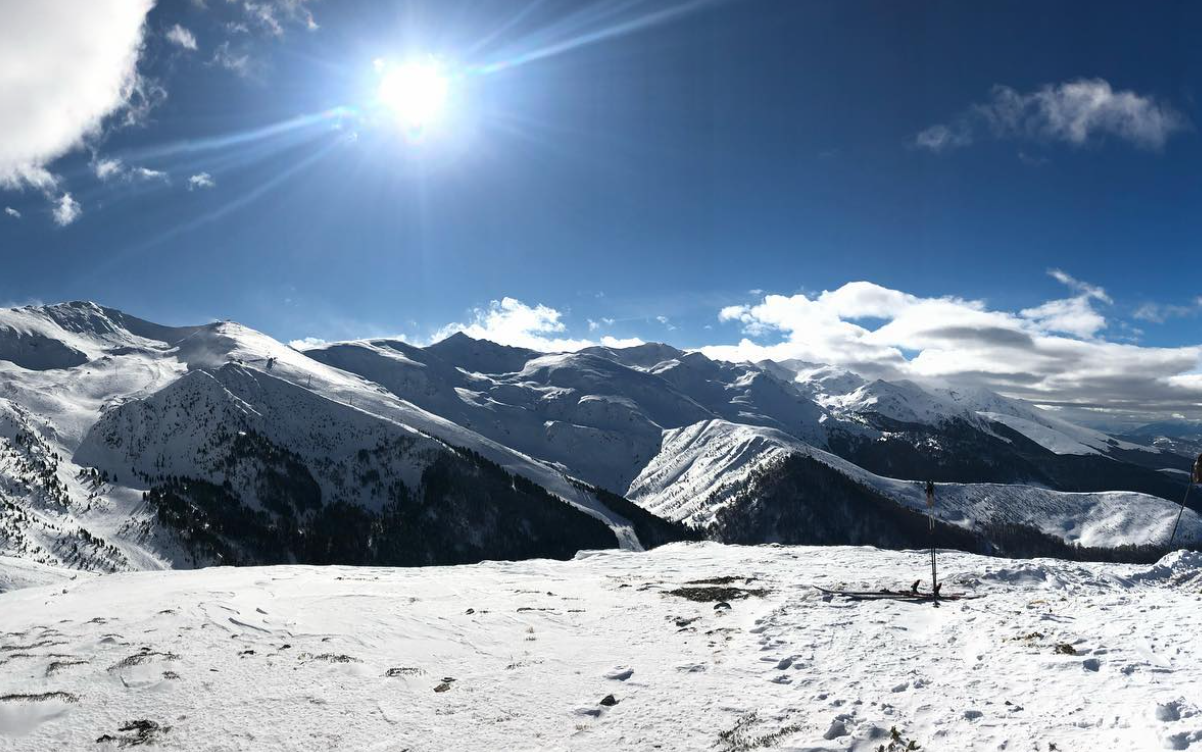
Skiing (in winter): During winter, Dayara Bugyal transforms into a winter wonderland with thick snow covering the meadows. It becomes an excellent destination for skiing enthusiasts, both amateurs, and professionals.

Nature Walks: Exploring the bugyal on foot is a fantastic way to immerse yourself in nature. You can take leisurely walks through the meadows, breathing in the fresh mountain air and enjoying the serene surroundings.

Stargazing: The clear night skies of Dayara Bugyal offer a mesmerizing stargazing experience. Away from city lights, you can see countless stars, constellations, and even the Milky Way on a clear night.

Village Visits: Nearby villages like Barsu and Raithal offer glimpses into the local way of life. You can interact with the villagers, learn about their customs and traditions, and savor local cuisine.

Meru uttarakhand Meru 22

Meru

Meru Peak, also known as Meru Parbat, is a prominent mountain in the Garhwal Himalayas of Uttarakhand, India. It stands…

Harsil harshil valley

Harsil

Harsil is a picturesque village situated in the Uttarkashi district of Uttarakhand, India. Nestled amidst the breathtaking beauty of the…

Uttarkashi Char Dham Route, uttarakashi, Utarakhand

Uttarkashi

Char Dham Yatra          Do Dham Yatra          Panch Kedar Yatra          Adi…

How To Reach Dayara Bugyal

By Air: The nearest airport to Dayara Bugyal is Jolly Grant Airport in Dehradun, which is around 196 km away. From the airport, you can hire a taxi or use public transport to reach Uttarkashi, and then further to Barsu village, which is the base for trekking to Dayara Bugyal.

By Train: The nearest railway station to Dayara Bugyal is in Dehradun. From Dehradun, you can take a taxi or bus to reach Uttarkashi, and then proceed to Barsu village.

By Road: You can drive or take a bus to reach Uttarkashi from major cities like Dehradun, Rishikesh, and Haridwar. From Uttarkashi, you can hire a taxi or use local transport to reach Barsu village. The trek to Dayara Bugyal starts from Barsu.

Trekking Route: The trek to Dayara Bugyal usually starts from Barsu village, which is about 10 km from Uttarkashi. The trek is moderate in difficulty and takes around 4-5 hours to reach Dayara Bugyal from Barsu. The trail passes through dense forests, meadows, and offers stunning views of the Himalayan peaks.

Gorson Bugyal

Gorson Bugyal is a high-altitude meadow located in the Chamoli district of Uttarakhand, India. “Bugyal” is a term used in the local language to refer to alpine pasturelands. Gorson Bugyal is renowned for its breathtaking natural beauty, encompassing vast stretches of lush greenery against the backdrop of towering Himalayan peaks.

Gorson Bugyal In Chamoli

Situated at an altitude of around 3,050 meters (approximately 10,000 feet) above sea level, Gorson Bugyal offers panoramic views of the surrounding mountains, including some of the most famous peaks in the region, such as Nanda Devi, Trishul, and Dronagiri.
The Bugyal is a popular trekking destination, attracting adventurers and nature enthusiasts from around the world. Trekkers typically access Gorson Bugyal via routes starting from Auli, a well-known skiing destination in Uttarakhand. The trek to Gorson Bugyal offers not only stunning vistas but also opportunities to experience the local flora and fauna of the region.

During the summer months, the Bugyal comes alive with vibrant wildflowers, adding to its allure. It’s also a haven for birdwatchers, with various avian species inhabiting the area.
Gorson Bugyal provides a serene retreat for those seeking to immerse themselves in the tranquility of the Himalayas while marveling at its awe-inspiring beauty.

Activities In Gorson Bugyal

Gorson Bugyal, located in the Garhwal Himalayas of Uttarakhand, India, offers a range of activities amidst its stunning natural beauty:

Trekking: Gorson Bugyal is a popular destination for trekkers, offering various trekking routes suitable for both beginners and experienced trekkers. The trek to Gorson Bugyal often starts from Auli or Joshimath and provides breathtaking views of the Himalayan peaks.

Camping: Camping amidst the lush green meadows of Gorson Bugyal is a serene experience. Many trekking groups and adventure enthusiasts set up camps here to enjoy the tranquility of the surroundings.

Photography: The scenic beauty of Gorson Bugyal is a photographer’s delight. From panoramic views of the Himalayan peaks to the vibrant flora and fauna, there are plenty of opportunities for photography enthusiasts to capture stunning shots.

Bird Watching: Gorson Bugyal is home to a variety of bird species, making it an excellent destination for bird watchers. You can spot birds like Himalayan Monal, Snow Partridge, Himalayan Griffon, and many more amidst the alpine meadows.

Nature Walks: Explore the pristine natural beauty of Gorson Bugyal through leisurely nature walks. Take in the fresh mountain air, listen to the chirping of birds, and immerse yourself in the tranquility of the surroundings.

Skiing: During the winter months, Gorson Bugyal receives a good amount of snow, making it an ideal destination for skiing enthusiasts. Auli, located nearby, is a renowned skiing destination, and visitors often combine skiing in Auli with a visit to Gorson Bugyal.

Stargazing: The clear night skies of Gorson Bugyal offer excellent opportunities for stargazing. Away from the city lights, you can witness the beauty of the star-studded sky and marvel at the vastness of the universe.

Village Visits: Explore the nearby villages to experience the local culture and way of life. Interact with the friendly villagers, learn about their traditions, and savor local delicacies for a truly enriching experience.

Bugyals in Uttarakhand
Panwali Bugyal uttarakhand Panwali Bugyal

Panwali Bugyal

Panwali Bugyal is a picturesque alpine meadow located in the Chamoli district of Uttarakhand, India. “Bugyal” is a term used…

Dayara Bugyal uttarakhand dayara bugyal

Dayara Bugyal

Dayara Bugyal is a picturesque alpine meadow located in the Uttarkashi district of Uttarakhand, India. Situated at an elevation ranging…

Auli Bugyal uttarakhand auli bugyal

Auli Bugyal

Auli Bugyal, often simply referred to as Auli, is a picturesque hill station and ski resort located in the Chamoli…

Rohini Bugyal Rohini Bugyal, Uttarakhand

Rohini Bugyal

Discover Rohini Bugyal, a tranquil meadow concealed within the lush embrace of Chopta Valley’s dense forests. En route to Chandrashila…

How To Reach Gorson Bugyal

By Air: The nearest airport to Gorson Bugyal is Jolly Grant Airport in Dehradun. From there, you can hire a taxi or use public transportation to reach Joshimath or Auli, which are the nearest accessible points to Gorson Bugyal.

By Train: The nearest major railway station is Haridwar, which is well-connected to major cities in India. From Haridwar, you can again take a taxi or bus to reach Joshimath or Auli.

By Road: Gorson Bugyal is accessible by road. You can reach Joshimath or Auli by road and then trek to Gorson Bugyal. Auli is about 15 kilometers from Joshimath and serves as a base for many treks, including Gorson Bugyal.

Auli Bugyal

Auli Bugyal, often simply referred to as Auli, is a picturesque hill station and ski resort located in the Chamoli district of the northern Indian state of Uttarakhand. Auli Bugyal is renowned for its vast expanses of lush green meadows surrounded by coniferous forests and snow-capped peaks of the Himalayas.

Auli is particularly famous for its skiing facilities and is considered one of the best skiing destinations in India. The slopes here offer excellent opportunities for both beginners and experienced skiers, and the skiing season typically runs from late November to early March, depending on the snowfall.
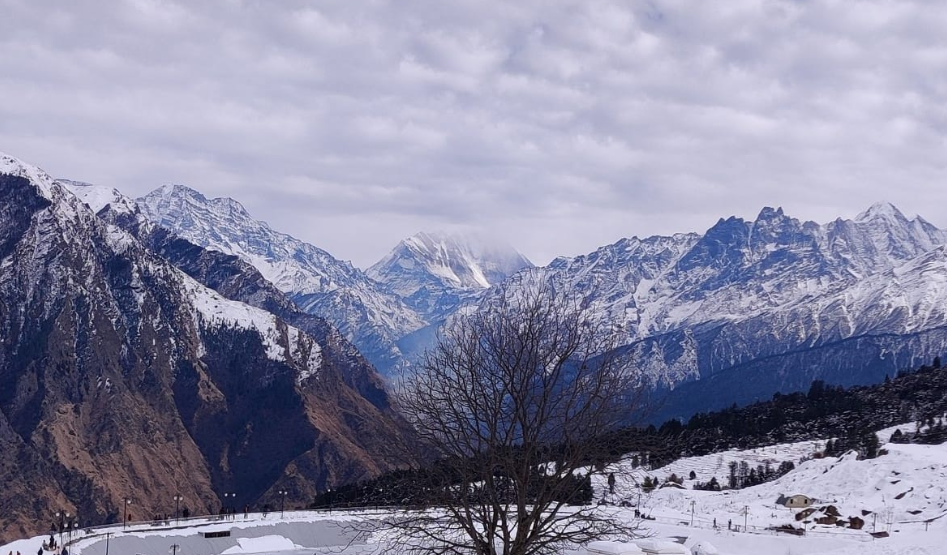
Apart from skiing, Auli also offers breathtaking panoramic views of some of the highest peaks in the Himalayan range, including Nanda Devi, Trishul, and Mana Parvat. The serene environment and the pristine beauty of Auli make it a popular destination not only for adventure enthusiasts but also for those seeking peace and tranquility amidst nature.

Auli Bugyal attracts visitors from all over the world, drawn by its natural beauty, adventure sports, and spiritual significance, making it a must-visit destination for anyone exploring the Indian Himalayas.

Activities in Auli Bugyal

Auli Bugyal, located in the Garhwal Himalayas of Uttarakhand, India, is a stunning meadow known for its scenic beauty and adventure opportunities. Here are some activities you can enjoy in Auli Bugyal:

Trekking: Auli Bugyal offers some fantastic trekking trails, with breathtaking views of the surrounding Himalayan peaks. Popular treks include the Auli Gorson Trek, Auli Khulara Trek, and the Kuari Pass Trek.

Skiing: Auli is renowned as one of the best skiing destinations in India. The slopes here are ideal for both beginners and experienced skiers. The Auli Ski Resort offers equipment rental and ski training facilities.

Cable Car Ride: Take a ride on the Auli Ropeway, one of the highest ropeways in Asia. It offers panoramic views of the Himalayas, including Nanda Devi, India’s second-highest peak.

Camping: Set up camp amidst the picturesque surroundings of Auli Bugyal for a memorable experience under the stars. Camping here provides an opportunity to immerse yourself in nature and enjoy the tranquility of the mountains.

Photography: Auli Bugyal is a paradise for photographers, with its vast expanse of green meadows, snow-capped peaks, and clear blue skies offering endless photo opportunities.

Nature Walks: Explore the rich biodiversity of the region with guided nature walks. Spot native flora and fauna, including rare Himalayan species, and learn about the unique ecosystem of the Himalayas.

Stargazing: The clear night skies of Auli Bugyal offer excellent opportunities for stargazing. Marvel at the countless stars and constellations visible from this high-altitude location.

Yoga and Meditation: Practice yoga and meditation amidst the serene surroundings of Auli Bugyal for a truly rejuvenating experience. The tranquil environment makes it an ideal place for introspection and spiritual growth.

Remember to check the weather conditions and plan your activities accordingly, especially during the winter months when heavy snowfall can occur. Additionally, it’s essential to respect the natural environment and follow responsible tourism practices while visiting Auli Bugyal.

Gorson Bugyal uttarakhand gorson bugyal 22

Gorson Bugyal

Gorson Bugyal is a high-altitude meadow located in the Chamoli district of Uttarakhand, India. “Bugyal” is a term used in…

Auli ropeway Auli ropeway 22

Auli ropeway

The Auli ropeway is one of the longest ropeways in Asia and is located in the picturesque town of Auli…

Auli auli uttarakhand

Auli

Auli is a breathtaking hill station and ski resort located in the Chamoli district of Uttarakhand, India. Situated in the…

Chamoli The panch DHARA

Chamoli

Chamoli District, located in the northern state of Uttarakhand, India, is a picturesque region known for its stunning landscapes, diverse…

How To Reach Auli Bugyal

Air: The nearest airport to Auli Bugyal is the Jolly Grant Airport in Dehradun, which is approximately 279 km away. From the airport, you can hire a taxi or take a bus to reach Joshimath, the base point for Auli.

Train: The nearest railway station to Auli Bugyal is in Haridwar, which is around 273 km away. From Haridwar, you can either hire a taxi or take a bus to reach Joshimath and then proceed to Auli Bugyal as mentioned earlier.

Road: Auli Bugyal is well-connected by road. You can drive or hire a taxi from nearby towns like Rishikesh, Haridwar, Dehradun, or even from Delhi. The route from Delhi to Auli is via Rishikesh, Devprayag, Srinagar, Rudraprayag, Karnaprayag, Chamoli, and Joshimath. The roads are generally in good condition, but it’s advisable to check the weather and road conditions, especially during the winter months.

Cable Car (Air Train): The most exciting way to reach Auli Bugyal is by taking the cable car or “air train” from Joshimath. The Auli Ropeway is one of the longest cable car rides in Asia, offering panoramic views of the Himalayan peaks. It takes about 25-30 minutes to reach Auli from Joshimath via the cable car.

Hathi Parbat

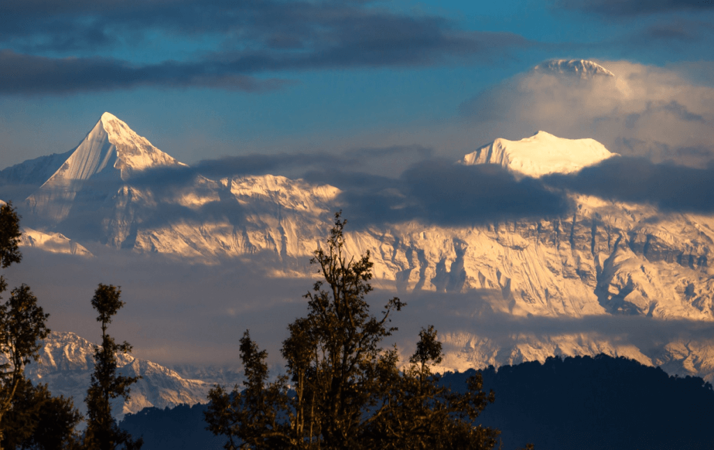
Hathi Parbat, also known as Elephant Peak, is a mountain peak located in the Garhwal Himalayas of Uttarakhand, India. It is part of the Gangotri Group of peaks and stands at an elevation of approximately 6,727 meters (22,073 feet) above sea level. The name “Hathi Parbat” translates to “Elephant Peak” in English, and it gets its name due to its resemblance to the shape of an elephant’s back.

LocationChamoli
Parent rangeGarhwal Himalayas
Altitude  6,727 meters (22,073 feet)
First ascentIn 1970 The successful ascent was made by a team of Indian climbers led by Hukam Singh.
Best time to visitMay, Jun, Sep, Oct

History related to Hathi Parvat

Hathi Parvat, located in the Garhwal region of the Indian state of Uttarakhand, is a significant peak in the Himalayan range. Here are some historical and cultural aspects related to Hathi Parvat:

Geographical Significance: Hathi Parvat, translating to “Elephant Mountain” in Hindi, gets its name from its appearance resembling the shape of an elephant. It stands at an elevation of around 6,727 meters (22,073 feet) above sea level and is part of the Garhwal Himalayas.

Religious Importance: The entire region of Uttarakhand holds immense religious significance in Hinduism. Hathi Parvat, like many other peaks in the Himalayas, is considered sacred by the locals and is often mentioned in Hindu mythology and scriptures.

Mythological References: According to Hindu mythology, Hathi Parvat is believed to be associated with the epic Ramayana. It is said that Lord Hanuman, the monkey god, visited this region during his search for the magical herb Sanjivani to revive Lord Lakshman, the brother of Lord Rama, who was injured in battle. The area around Hathi Parvat is believed to be one of the places where Hanuman searched for the herb.

Trekking and Mountaineering: Hathi Parvat, along with its neighboring peaks, attracts adventure enthusiasts and mountaineers from around the world. The region offers challenging trekking routes and opportunities for mountaineering expeditions, contributing to its historical significance in the context of exploration and adventure sports.

Cultural Heritage: The villages and settlements around Hathi Parvat are inhabited by indigenous communities with rich cultural traditions. These communities have their own folk tales, rituals, and practices that have been passed down through generations, adding to the historical and cultural tapestry of the region.

Overall, Hathi Parvat holds a unique place in both geographical and cultural landscapes, with its rich history intertwined with mythology, religion, and the adventurous spirit of exploration.

Maiktoli

Maiktoli is a mountain located in the Kumaon Himalayas of Uttarakhand, India. It is part of the Nanda Devi Sanctuary, which is a UNESCO World Heritage Site. Maiktoli stands at an elevation of approximately 6,803 meters (22,320 feet) above sea level, making it one of the prominent peaks in the region. The name “Maiktoli” is derived from the local dialect, with “Mai” meaning mother and “Koli” meaning a small hut.

LocationBageshwar
Parent rangeKumaun  Himalayas
Altitude 6,803 meters (22,320 feet)
First ascentIn 1939 The team was led by H.W. Tilman, and the climbers included Noel Odell, Bill Evers, and Sherpa Pasang Phutar.
Best time to visitMay, Jun, Sep, Oct

History related to Maiktoli

The history related to Maiktoli primarily revolves around its exploration and mountaineering endeavors. Here are some key points:

Exploration and Mapping: Maiktoli, like many peaks in the Himalayas, was first explored and mapped during the British colonial era in India. British surveyors and explorers, as part of the Great Trigonometric Survey and subsequent mapping efforts, mapped many peaks in the region, including Maiktoli. This laid the groundwork for later mountaineering expeditions.

Mountaineering Expeditions: Maiktoli has attracted mountaineers and climbers from around the world due to its challenging terrain and striking beauty. Expeditions to conquer Maiktoli began in the mid-20th century. Various attempts were made to summit the peak, with some successful ascents and some failures.

First Ascent: The first successful ascent of Maiktoli was made by a British expedition in 1939. The team, led by T. Graham Brown, included Eric Shipton and Frank Smythe, among others. Their climb was a significant achievement in Himalayan mountaineering history.

Modern Expeditions: Since the first ascent, numerous expeditions have been undertaken to Maiktoli, with varying degrees of success. Some climbers have attempted new routes or variations on the peak, adding to its mountaineering lore.

Conservation and Protection: Maiktoli, along with the entire Nanda Devi Sanctuary, is now a protected area. The sanctuary was established in 1939 and later designated as a UNESCO World Heritage Site in 1988.

Overall, Maiktoli’s history is intertwined with the exploration of the Himalayas, the challenges of mountaineering, and efforts to preserve its natural environment for future generations.

Peaks of Uttarakhand
Mana Peak uttarakhand MANA PEAK

Mana Peak

Mana Peak, located in the Uttarakhand region of India, is a majestic mountain nestled in the Himalayas. Standing at 7,274…

Bandarpunch Peak uttarakhand Bandarpunch Peak 22

Bandarpunch Peak

Bandarpunch Peak is a prominent mountain peak in the Garhwal Himalayas of Uttarakhand, India. It stands at an elevation of…

Bhagirathi Peak uttarakhand Bhagirathi peak22

Bhagirathi Peak

Bhagirathi Peak is a prominent mountain peak located in the Garhwal Himalayas of Uttarakhand, India. It is part of a…

Kedarnath Peak uttarakhand kedarnath peak

Kedarnath Peak

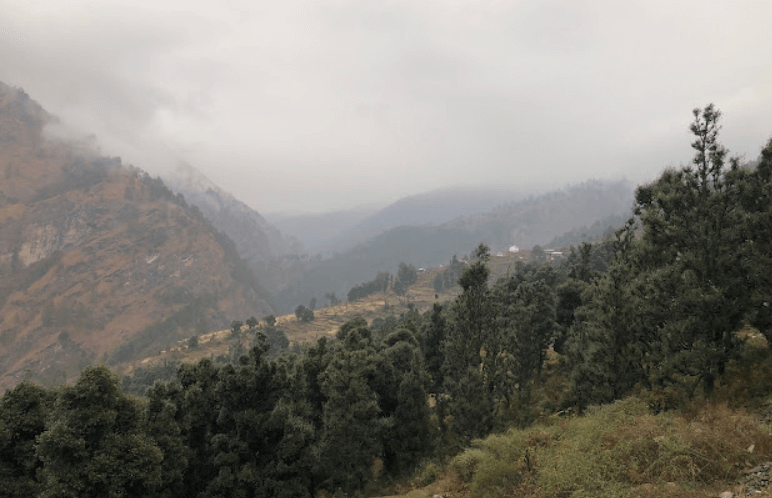
Kedarnath Peak is a majestic mountain located in the Garhwal Himalayas of Uttarakhand, India. It stands at an elevation of…

Neelkantha Peak Neelkantha Peak123

Neelkantha Peak

Neelkantha Peak, also known as the “Garhwal Queen,” is a majestic mountain located in the Garhwal region of the Indian…

Chandrashila Peak Chopta trekking 2022, Uttarakhand

Chandrashila Peak

Chandrashila, translating to the ‘Moon Rock,’ crowns the Chandranath Parvat, home to the Tungnath temple of Panch Kedar. This majestic…

Kedarnath Dome

The Kedarnath Dome, also known as Kedarnath Parbat or simply Kedar Dome, is a majestic peak located in the Garhwal Himalayas of Uttarakhand, India. It stands tall at an elevation of approximately 6,831 meters (22,411 feet) above sea level.

LocationRudraprayag
Parent rangeGarhwal Himalayas
Altitude 6,864 meters (22,520 feet)
First ascentBy a British team in 1947. The team included T. H. Braham, A. M. Norris, and H. L. R. Bell.
Best time to visitMay, Jun, Sep, Oct

History related to Kedarnath Dome

The Kedarnath Dome is an integral part of the Kedarnath temple complex, a significant pilgrimage site in the Indian state of Uttarakhand. The history of Kedarnath Dome is deeply intertwined with the religious and cultural heritage of India.

Ancient Origins: The Kedarnath temple is believed to have been constructed by the Pandavas, the heroes of the Hindu epic Mahabharata, around 3,000 years ago. According to legend, after the great battle of Kurukshetra, the Pandavas sought forgiveness from Lord Shiva for their sins of fratricide and warfare. The Pandavas followed him and ultimately found him at Kedarnath, where he submerged into the ground, leaving behind his hump, which is worshipped as the conical rock idol in the temple.

Renovations and Restorations: Over the centuries, the temple has undergone several renovations and restorations due to damage from natural disasters like earthquakes and avalanches. The dome, being a prominent architectural feature of the temple, has been subject to these renovations to maintain its structural integrity and religious significance.

Historical Significance: Kedarnath holds immense significance in Hindu mythology and spirituality. It is one of the twelve Jyotirlingas, which are considered to be the most sacred abodes of Lord Shiva. Pilgrims from all over India and abroad visit Kedarnath to seek the blessings of Lord Shiva and to pay homage to their ancestors.

Modern Challenges: In recent times, Kedarnath has faced significant challenges due to natural disasters, notably the devastating flash floods in 2013. These floods caused widespread destruction in the region, including damage to the temple complex.

Overall, the history of the Kedarnath Dome is deeply intertwined with the religious and cultural fabric of India, representing centuries of devotion and architectural prowess.

Peaks of Uttarakhand
Mana Peak uttarakhand MANA PEAK

Mana Peak

Mana Peak, located in the Uttarakhand region of India, is a majestic mountain nestled in the Himalayas. Standing at 7,274…

Bandarpunch Peak uttarakhand Bandarpunch Peak 22

Bandarpunch Peak

Bandarpunch Peak is a prominent mountain peak in the Garhwal Himalayas of Uttarakhand, India. It stands at an elevation of…

Bhagirathi Peak uttarakhand Bhagirathi peak22

Bhagirathi Peak

Bhagirathi Peak is a prominent mountain peak located in the Garhwal Himalayas of Uttarakhand, India. It is part of a…
Gaumukh Peak Gaumukh peak uttarakhand

Gaumukh Peak

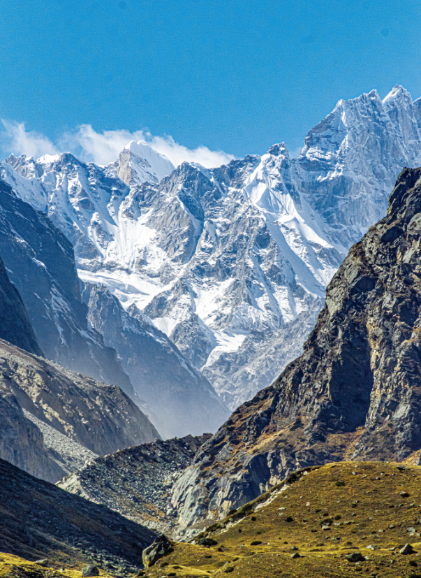
Gaumukh Peak is located in the Indian state of Uttarakhand, in the Garhwal Himalayas. It’s famous primarily because of its…

Kedarnath Peak uttarakhand kedarnath peak

Kedarnath Peak

Kedarnath Peak is a majestic mountain located in the Garhwal Himalayas of Uttarakhand, India. It stands at an elevation of…

Neelkantha Peak Neelkantha Peak123

Neelkantha Peak

Neelkantha Peak, also known as the “Garhwal Queen,” is a majestic mountain located in the Garhwal region of the Indian…

Contact Us