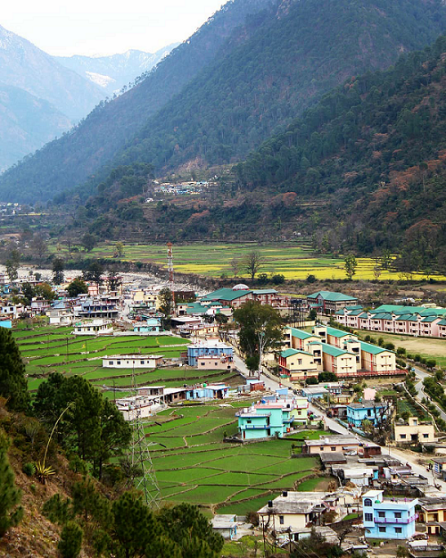
1. Where is Purola located?
Purola is located in the Uttarkashi district of Uttarakhand, India.
2. How can I reach Purola?
Purola can be reached by road from major cities like Dehradun and Delhi. The nearest railway station is in Dehradun, and the closest airport is Jolly Grant Airport in Dehradun.
3. What is the significance of Purola?
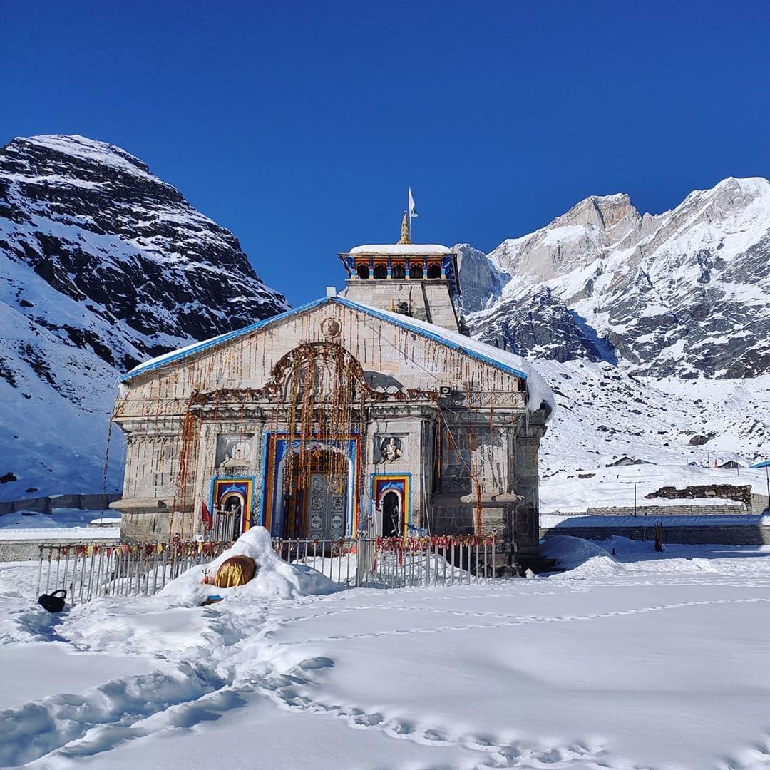
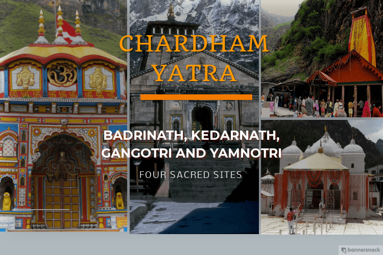
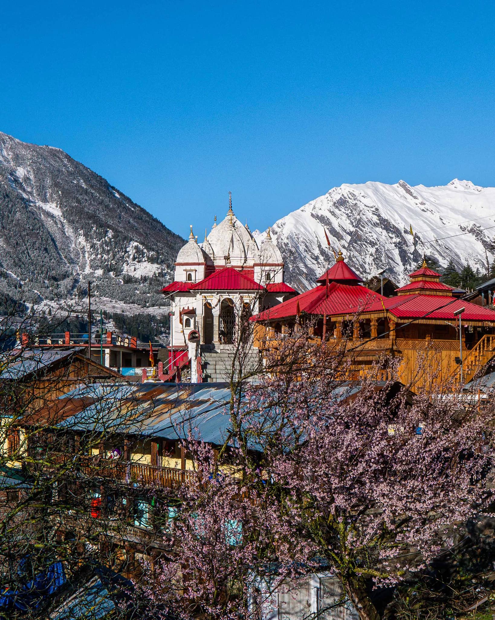
Purola serves as a transit point for travelers heading to various destinations in Uttarakhand such as Yamunotri, Har Ki Doon, and Mori.
4. What are the accommodation options in Purola?
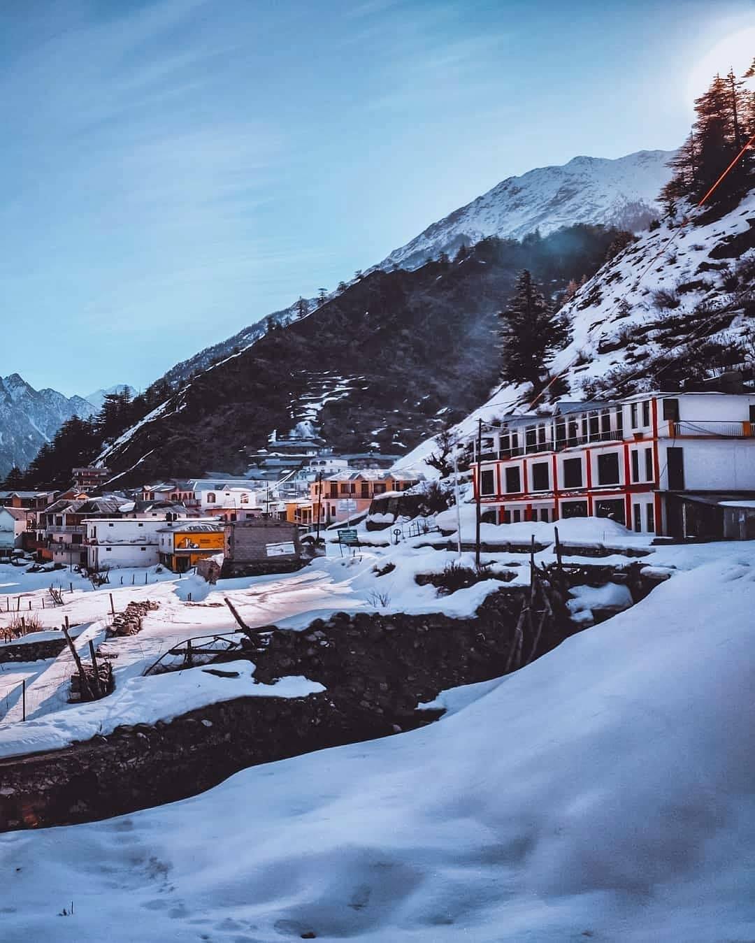
Purola offers a range of accommodation options including hotels, guesthouses, and homestays catering to various budgets.
5. What are the nearby tourist attractions from Purola?
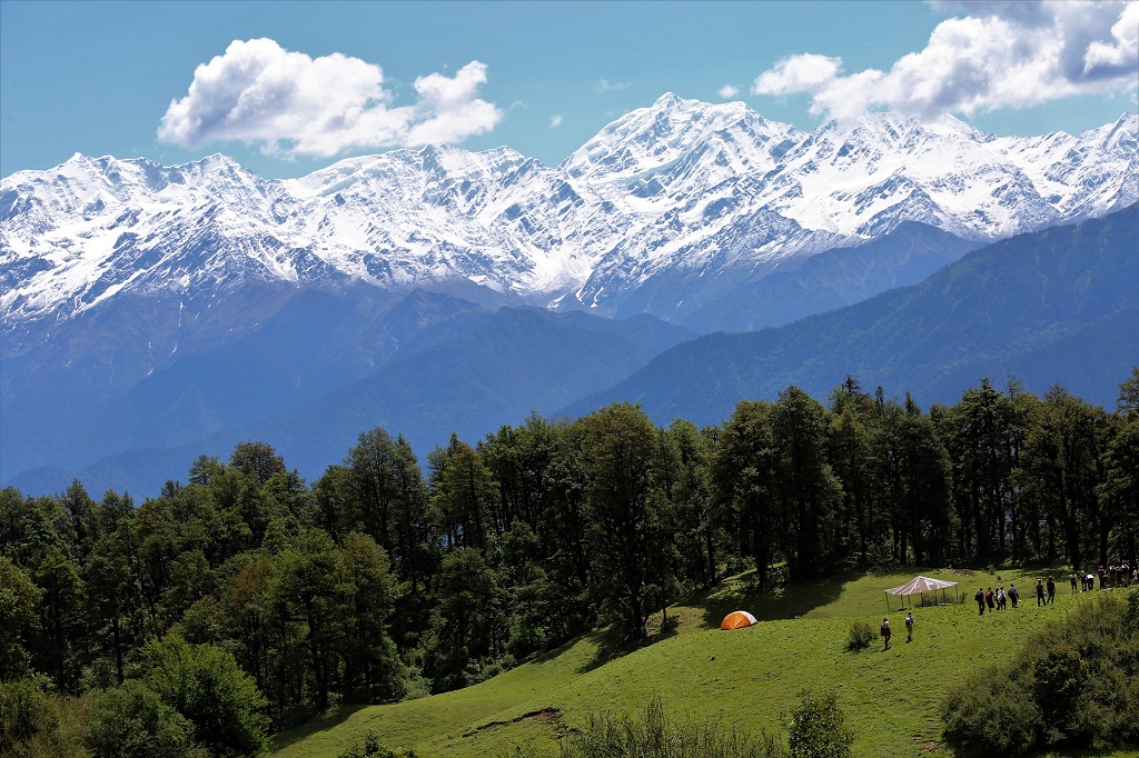
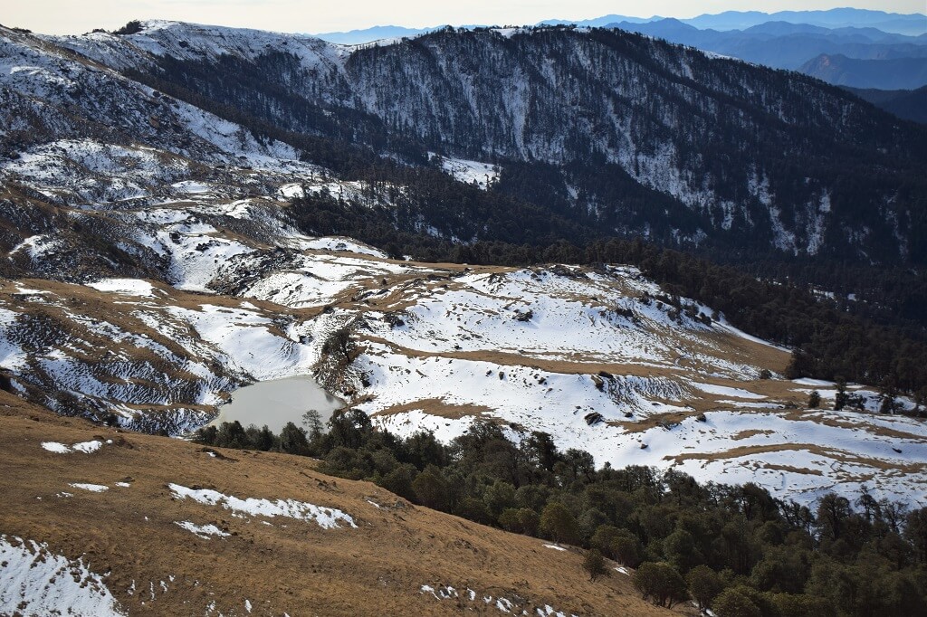
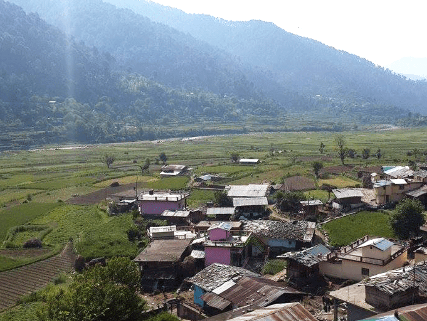
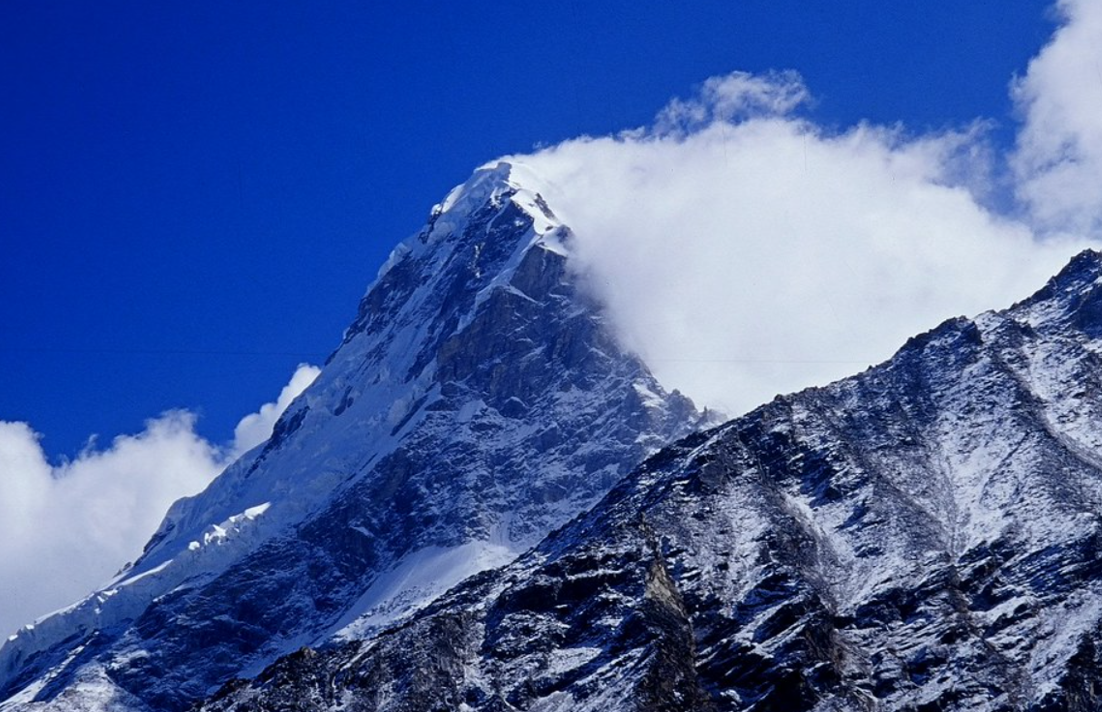
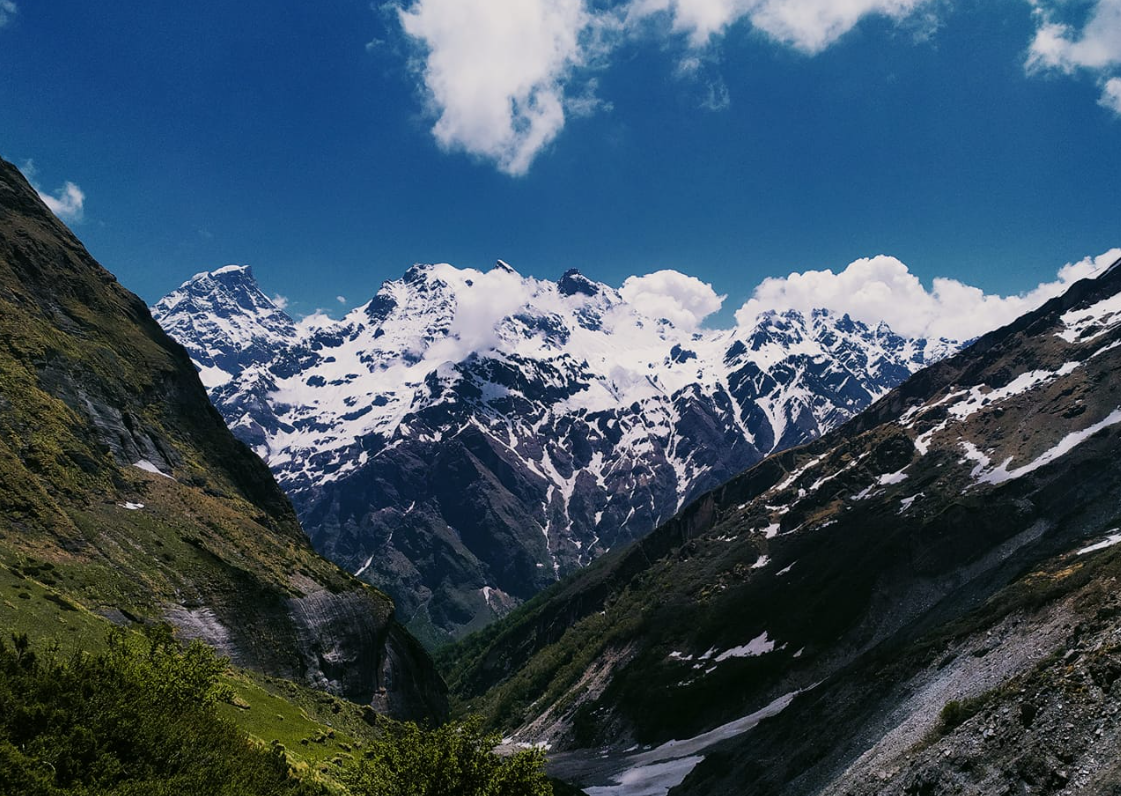
Nearby tourist attractions from Purola include Mori, Sankri, and the scenic beauty of the Tons Valley.
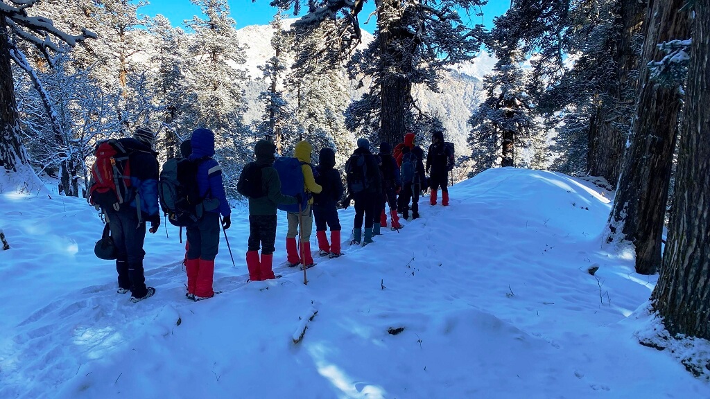
6. What adventure activities are available in Purola?
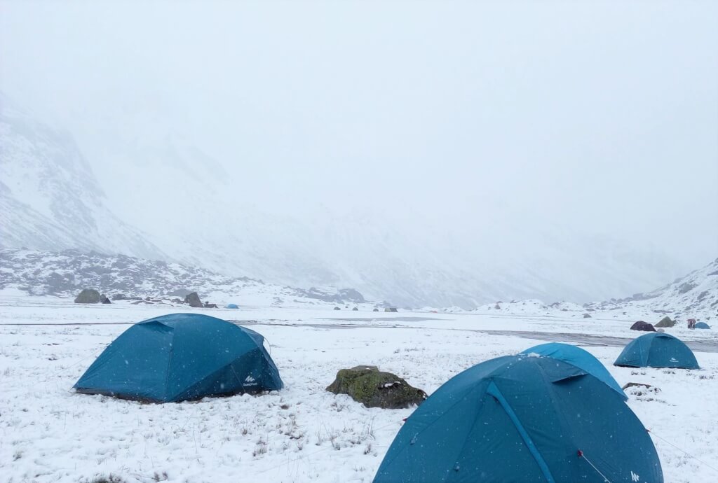
Adventure activities in Purola include trekking, camping, bird watching, and nature walks.
7. When is the best time to visit Purola?
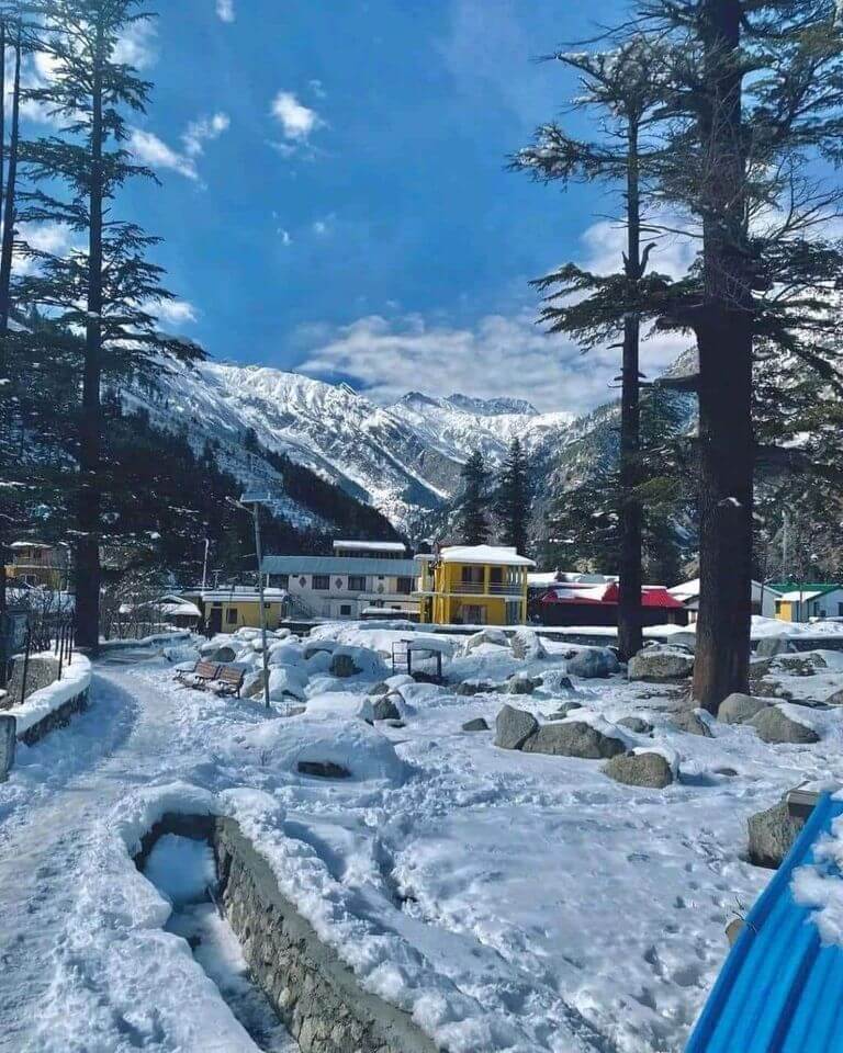
The best time to visit Purola is during the summer months from April to June and the autumn months from September to November when the weather is pleasant and suitable for outdoor activities.
8. Are there any trekking routes starting from Purola?
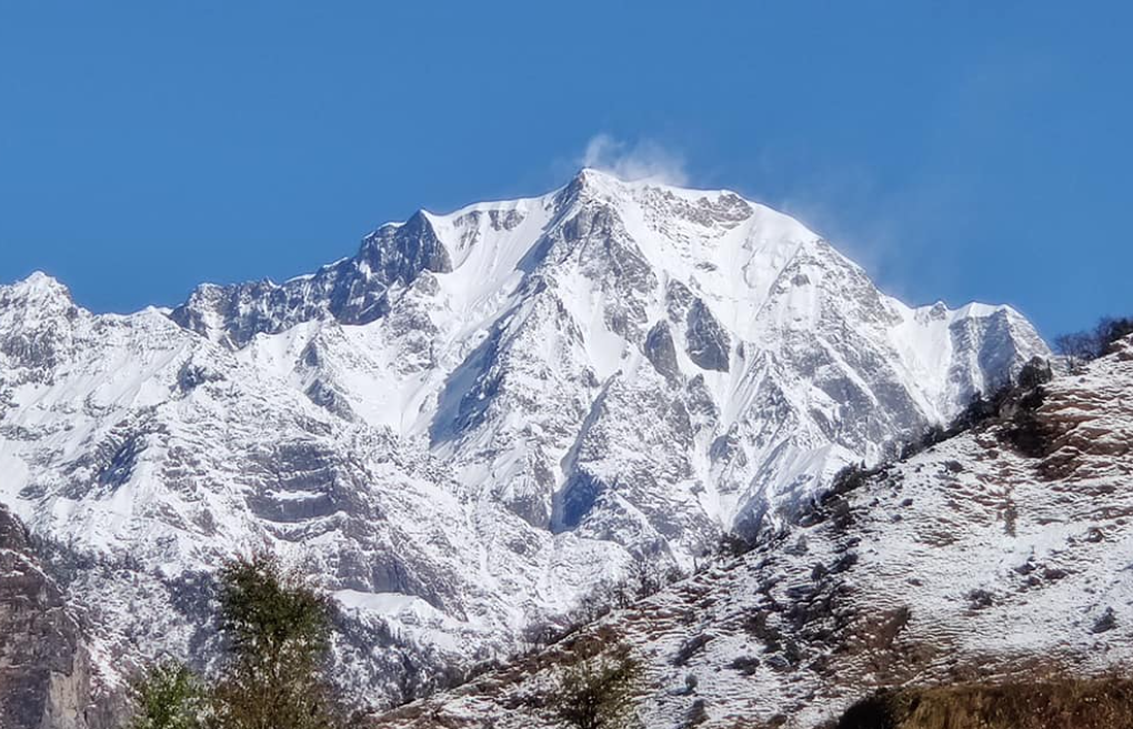
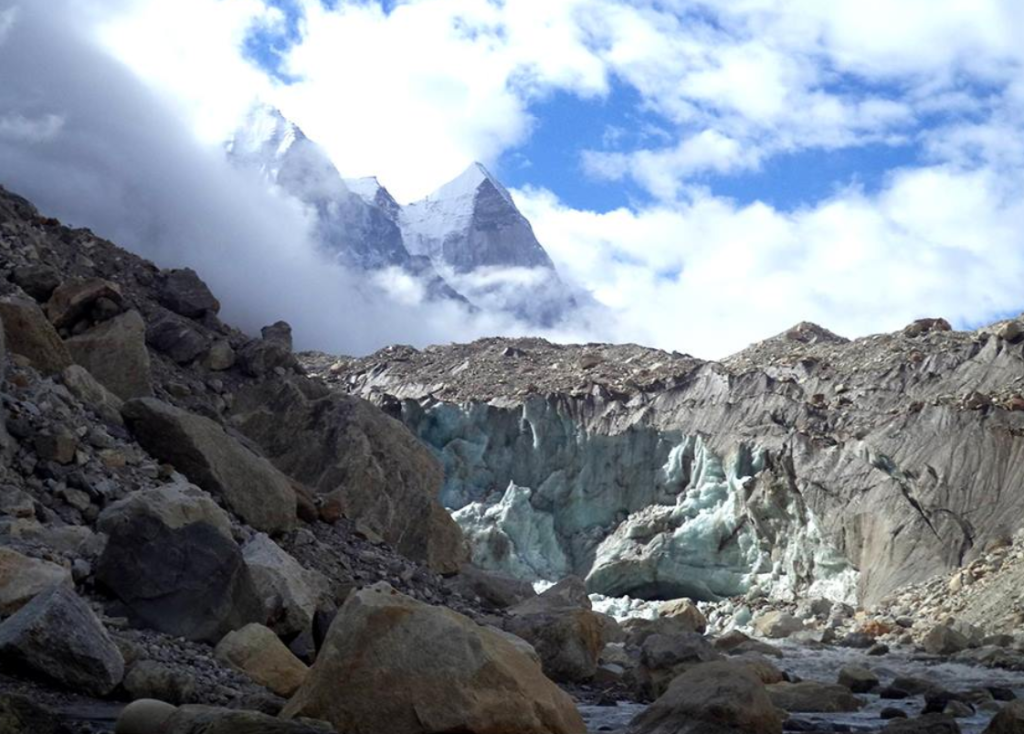
Yes, Purola is the starting point for several treks, including the trek to Har Ki Doon, Ruinsara Tal, and Bali Pass.
9. Is Purola safe for tourists?
Yes, Purola is generally safe for tourists. However, it’s always advisable to take necessary precautions and follow local guidelines.
10. What is the cuisine like in Purola?
The cuisine in Purola is primarily North Indian, with influences from Garhwali cuisine. Local dishes include rajma chawal, chainsoo, and kachmauli.
Adi kailash Yatra Package From Kathgodam

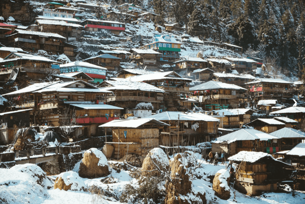
How To Reach Sankri
Sankri is a picturesque village located in the Uttarkashi district of the Indian state of Uttarakhand. It serves as a…
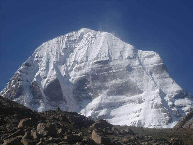
Adi Kailash
Adi Kailash, also known as Chhota Kailash, is a sacred mountain located in the Indian state of Uttarakhand. Standing tall…
Adi kailash Yatra from Delhi
Yatra Overview Reporting Time & Place :- Ajmeri Gate Side at 0900 Hr Save 20% on Yatra CostRs 42,000/ (Delhi to Delhi)…
Adi Kailash Yatra KMVN
Adi Kailash & Om Parvat Yatra Trek Overview Duration: 06Nights / 07 Days …