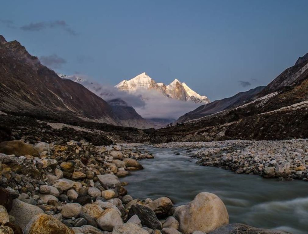
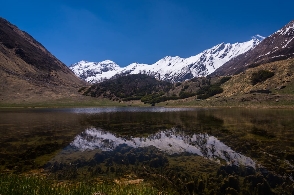
The Tons River, also known as the Tamsa River, is one of the important tributaries of the Yamuna River in India. It originates from the Tons Glacier in the Himalayas and flows through the state of Uttarakhand. The river is renowned for its scenic beauty as it passes through deep gorges, lush forests, and remote valleys.

Tons River: A Tributary of river Yamuna
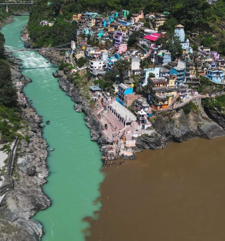
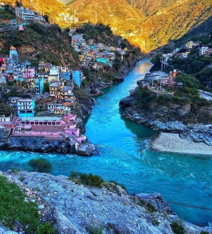
It is a major tributary of the Yamuna River, joining it near Kalsi in the Dehradun district. Some of its important tributaries include the Rupin, Supin, and Yamuna itself.The Tons River is known for its scenic beauty, especially in the Tons Valley region. It merges with the Yamuna River near Kalsi in Uttarakhand. The river is significant not only for its ecological importance but also for its cultural and economic significance to the region through which it flows.
Some Key Points about Tons River
The Tons River in Uttarakhand is one of the significant rivers in the state, known for its pristine beauty and ecological importance. Here are some key points about the Tons River:
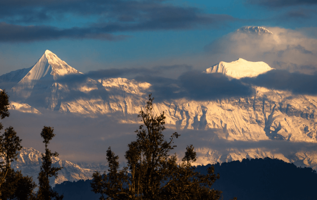
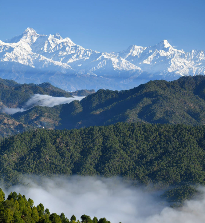
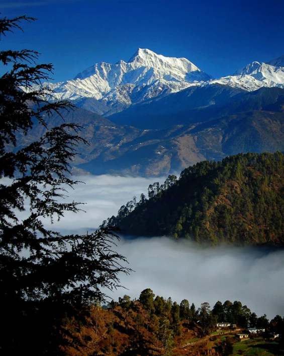
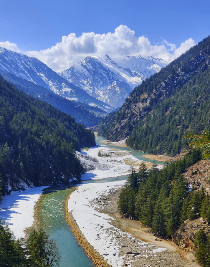
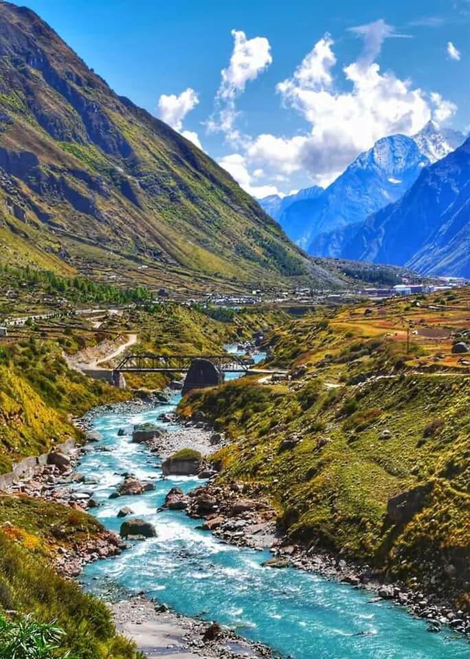
Location: The Tons River originates from the Tons Glacier, which is situated at an altitude of around 20,720 feet in the Tons Valley in the Garhwal region of Uttarakhand, India.
Length: The Tons River stretches for approximately 250 kilometers, flowing through rugged terrain, deep gorges, and dense forests.
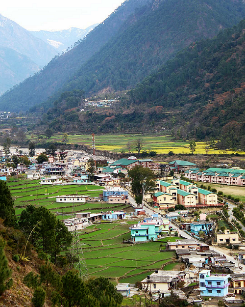
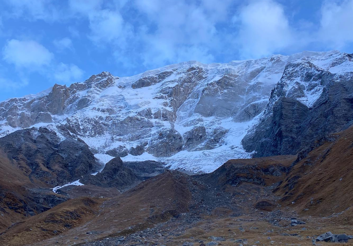
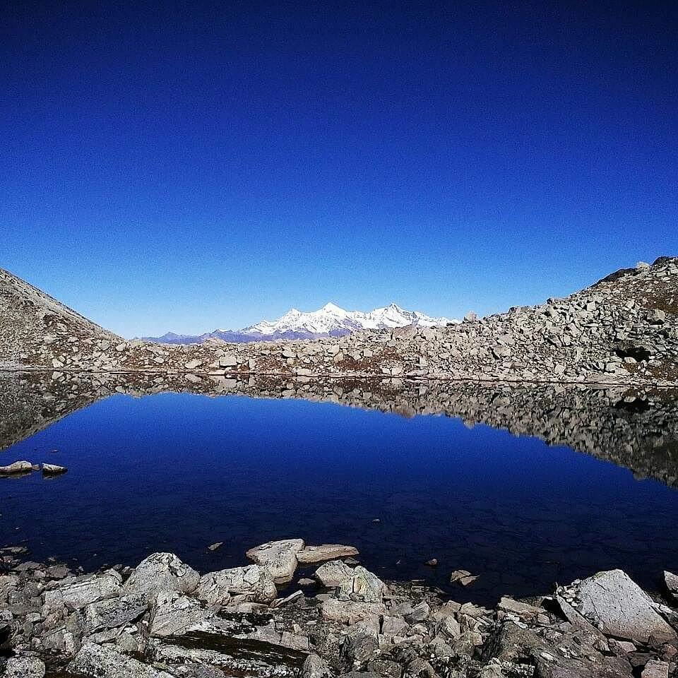
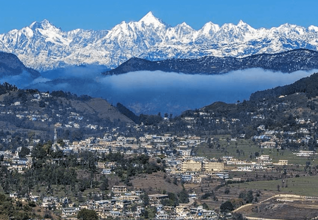
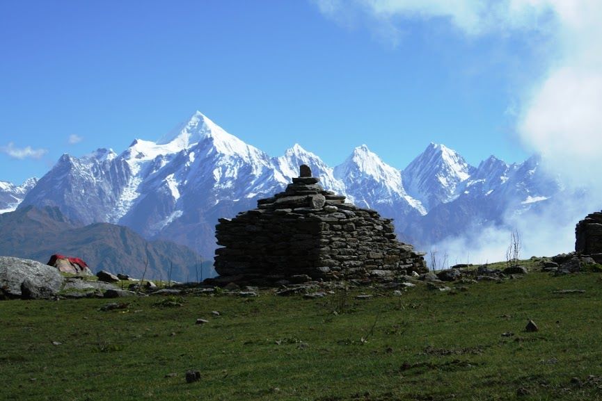
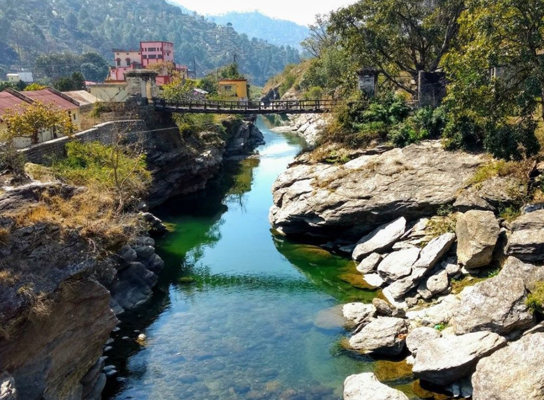
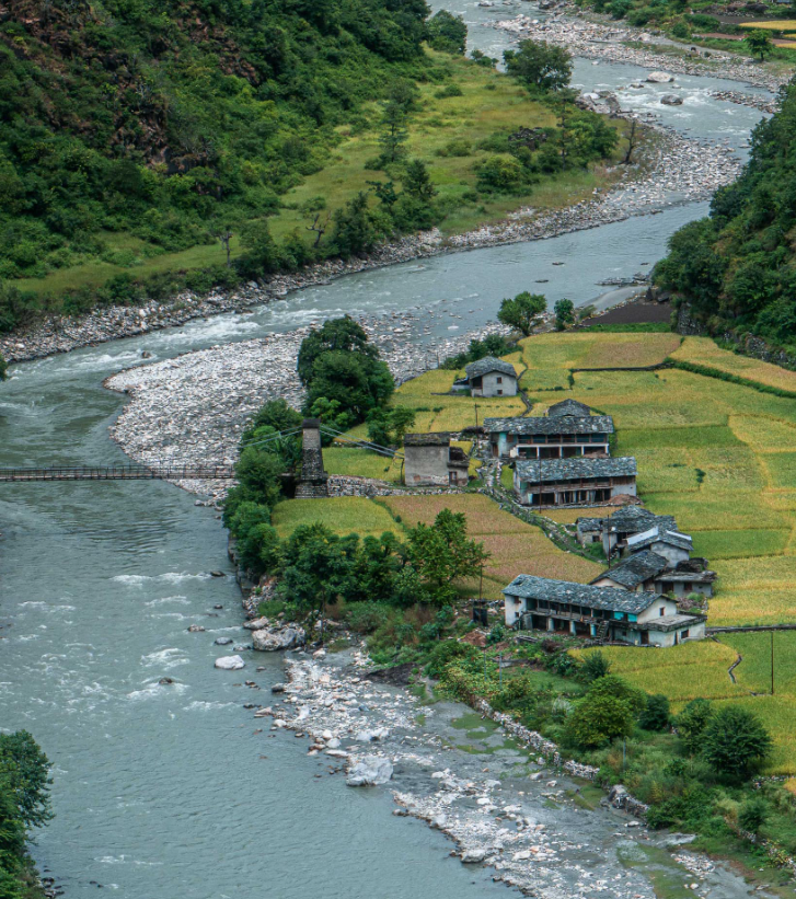
Scenic Beauty: The Tons Valley is renowned for its stunning landscapes, including lush green forests, terraced fields, and snow-capped peaks, making it a popular destination for adventure enthusiasts and nature lovers.
Hydroelectric Potential: The river has significant hydroelectric potential, and there have been proposals for various hydroelectric projects along its course, although these have been met with environmental concerns and opposition from local communities and activists.
Flora and Fauna: The Tons Valley is rich in biodiversity, with a variety of flora and fauna found in its forests and meadows. It is home to species like Himalayan black bear, musk deer, monal pheasant, and numerous medicinal plants.
Cultural Significance: The Tons Valley is also culturally significant, inhabited by indigenous communities like the Jaunsari and Bhotiya tribes, who have their own unique traditions, dialects, and lifestyles.
Adventure Tourism: The Tons River offers opportunities for adventure sports such as white-water rafting, kayaking, and trekking, attracting adventure enthusiasts from around the world.
Rivers In Uttarakhand

How To Reach Sankri
Sankri is a picturesque village located in the Uttarkashi district of the Indian state of Uttarakhand. It serves as a…
Ramganga River
The Ramganga River is a significant watercourse in northern India, primarily flowing through the state of Uttarakhand. It originates from…
Bhagirathi River
The Bhagirathi River is one of the main tributaries of the Ganges River, which holds immense cultural, religious, and ecological…
Alaknanda River
The Alaknanda River is one of the two main headstreams of the Ganges River, the other being the Bhagirathi River….
Yamuna River
The Yamuna River holds immense cultural, historical, and ecological significance in India. It is one of the major rivers of…
Ganga River
The Ganga River, also known as the Ganges, holds immense cultural, spiritual, and economic significance in India. It originates from…
Saraswati River
The Saraswati River, named for the Wisdom Goddess, originates in Uttarakhand and is a tributary of the Alaknanda River. At…