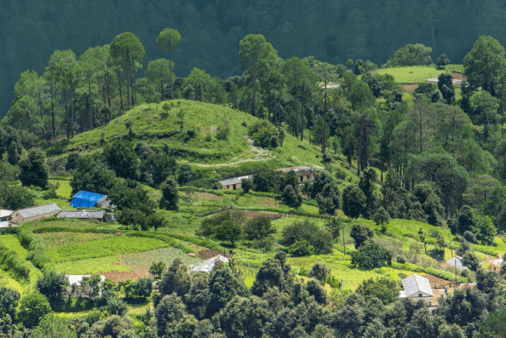
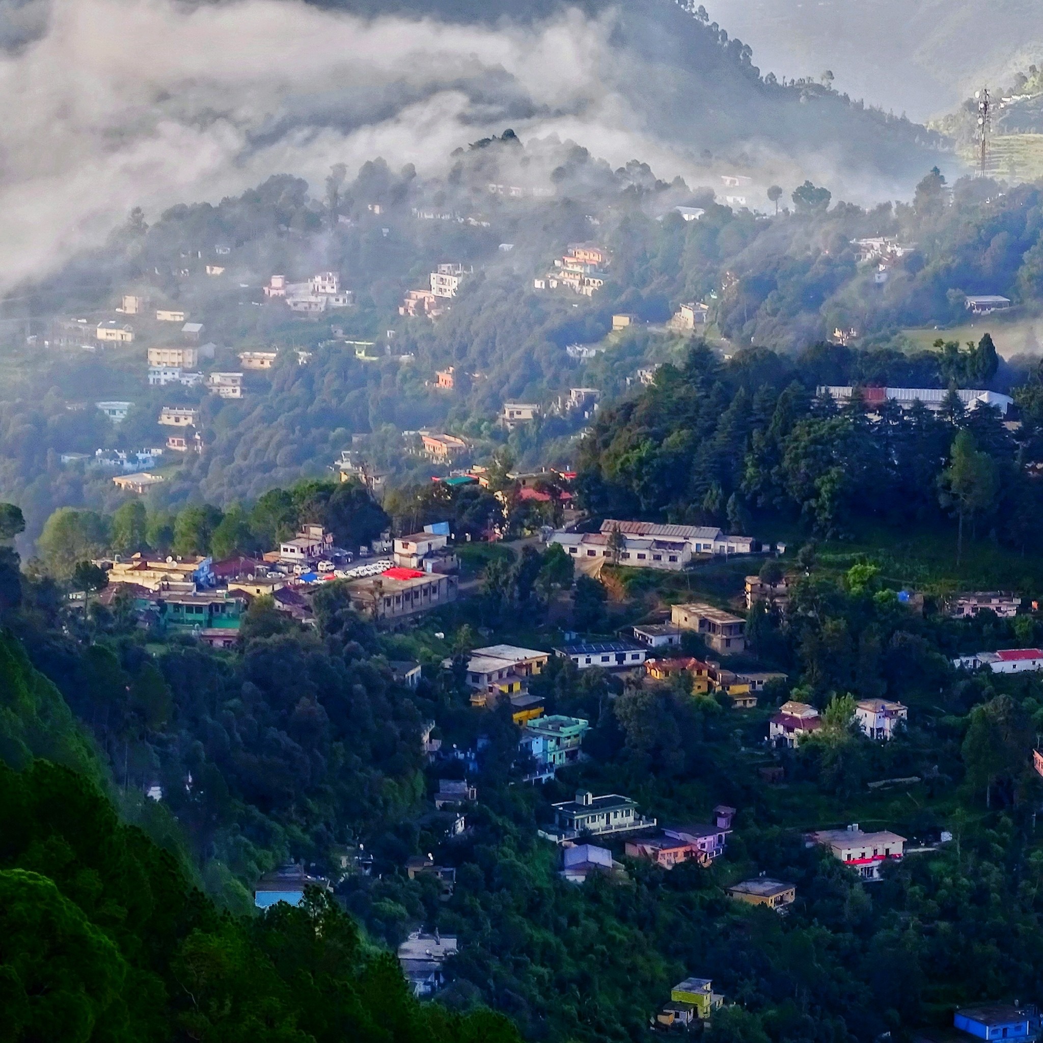
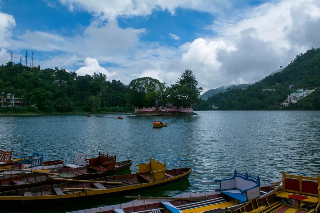
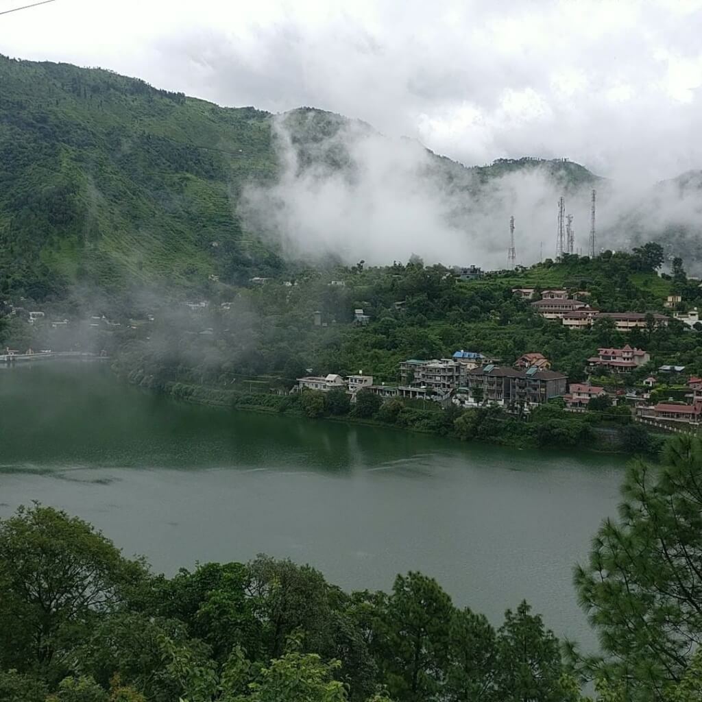
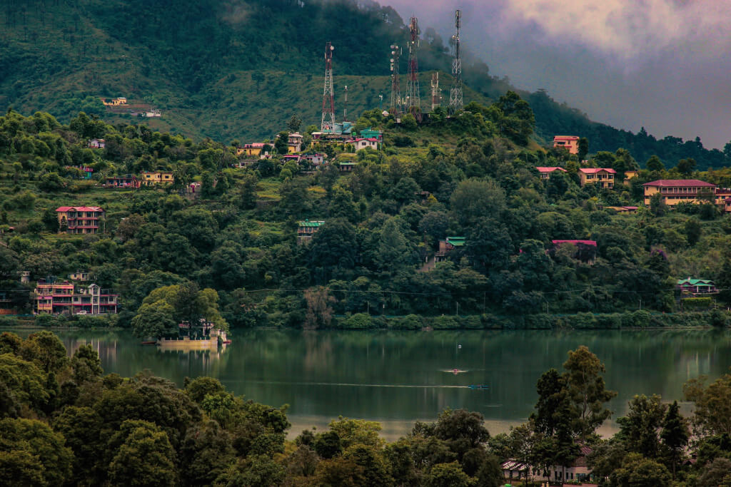
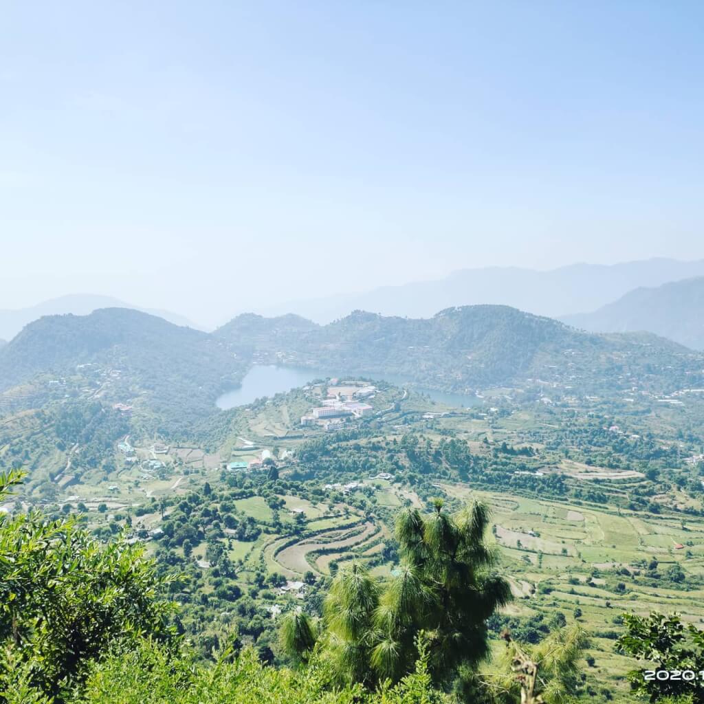
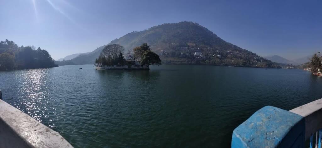
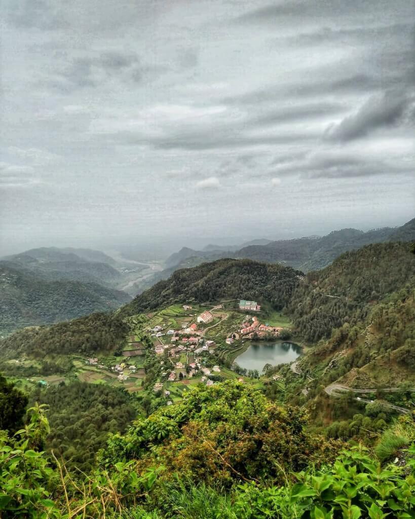
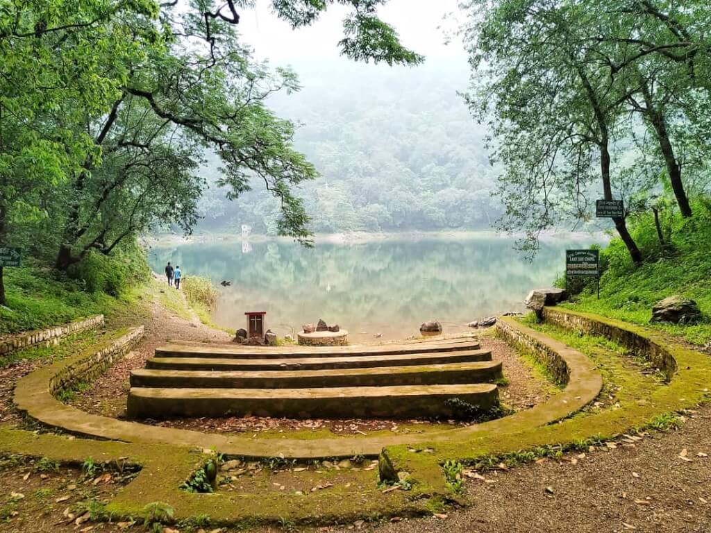
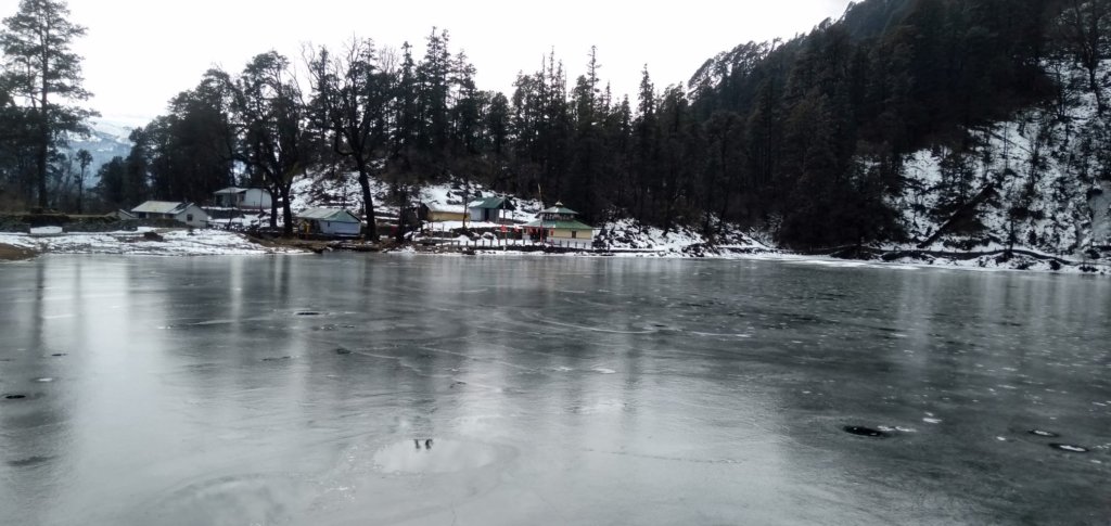
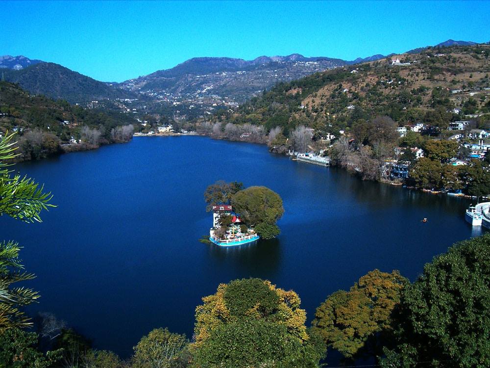
Naukuchiatal is a picturesque lake located in the Indian state of Uttarakhand, specifically in the Nainital district. The name “Naukuchiatal” literally translates to “nine-cornered lake” in Hindi. The lake is known for its pristine surroundings, serene ambiance, and the mythological significance associated with it.
Activities in Naukuchiatal
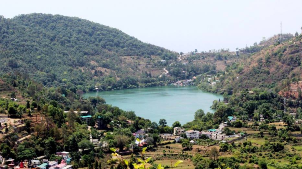
Naukuchiatal is a beautiful lake town in the Indian state of Uttarakhand, known for its scenic beauty and tranquility. There are several activities you can enjoy in and around Naukuchiatal:
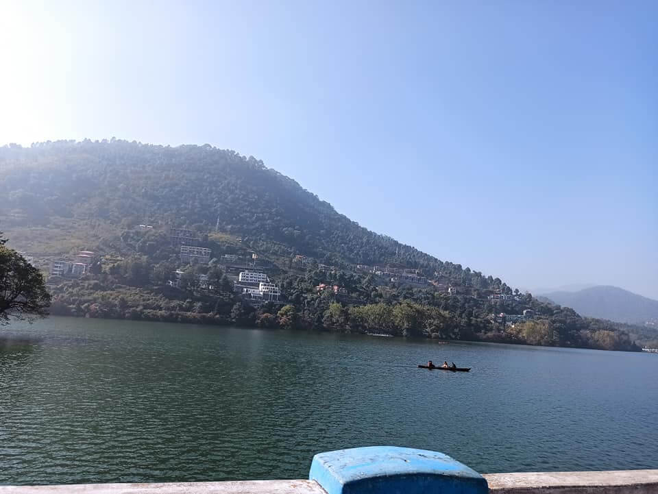
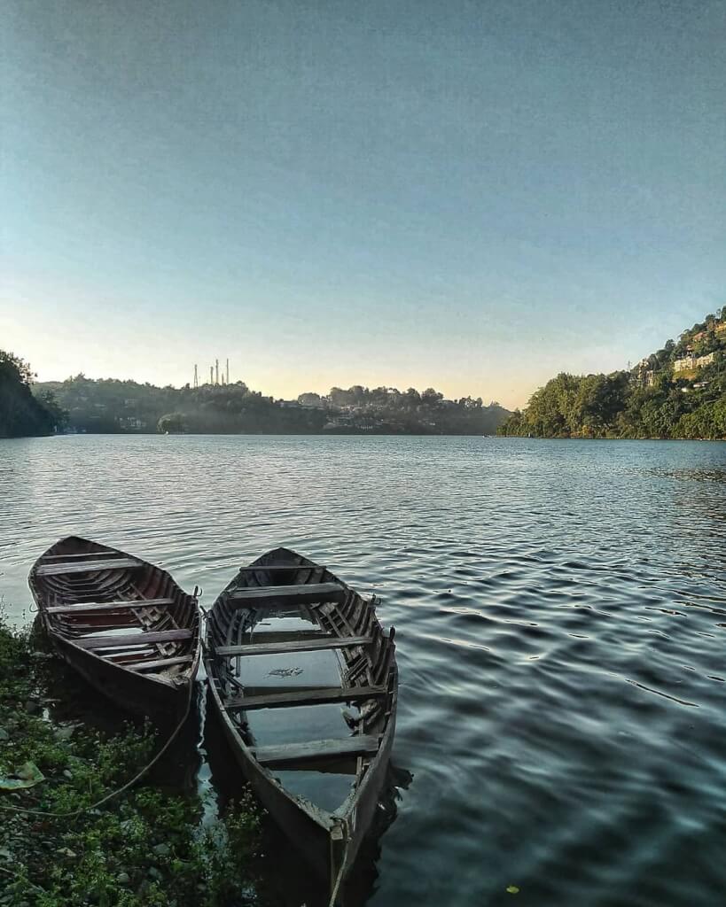
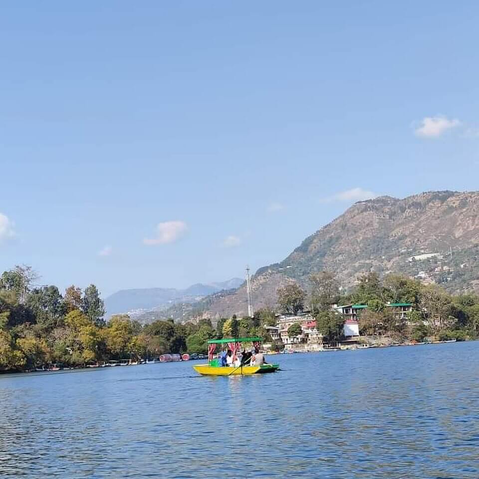
Boating: Naukuchiatal Lake is perfect for boating. You can hire rowboats, paddleboats, or even go for a peaceful boat ride to enjoy the serene surroundings.
Nature Walks: Explore the lush greenery around the lake by taking a leisurely nature walk. The area is dotted with pine and oak forests, providing a refreshing experience.
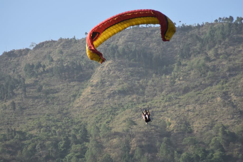
Paragliding: For the adventure seekers, paragliding is available in the nearby areas. Soar through the skies and enjoy breathtaking views of the lake and surrounding hills.
Photography: Naukuchiatal provides stunning landscapes, making it a paradise for photographers. Capture the scenic beauty, local life, and the vibrant flora and fauna.
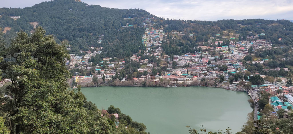
Day trips to nearby places: Explore nearby attractions like Bhimtal, Sattal, and Nainital, which are all within a short distance. Each of these places has its own unique charm and attractions.
Near Place to Vist

How To Reach Sankri
Sankri is a picturesque village located in the Uttarkashi district of the Indian state of Uttarakhand. It serves as a…
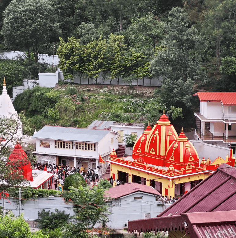
Kainchi Dham
Kainchi Dham is a sacred pilgrimage site located in the Kumaon hills near the town of Bhowali in the Nainital…

How To Reach Naukuchiatal
By Road
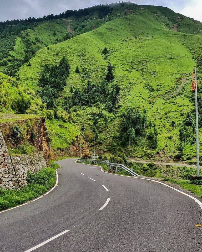
Naukuchiatal is well-connected by road, and you can reach there by bus, car, or taxi. The closest major town is Nainital, and from there, you can drive or hire a taxi to reach Naukuchiatal. If you’re coming from Delhi, you can take a bus or drive via NH9 and NH109.
By Train
The nearest railway station to Naukuchiatal is Kathgodam Railway Station, which is well-connected to major cities in India. From Kathgodam, you can hire a taxi or take a bus to reach Naukuchiatal, which is around 35 kilometers away.
By Air
The nearest airport to Naukuchiatal is Pantnagar Airport (approximately 70 kilometers away). From the airport, you can hire a taxi or use public transportation to reach Naukuchiatal.