Kagbhusandi Tal

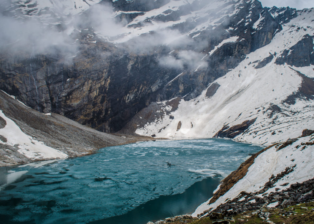
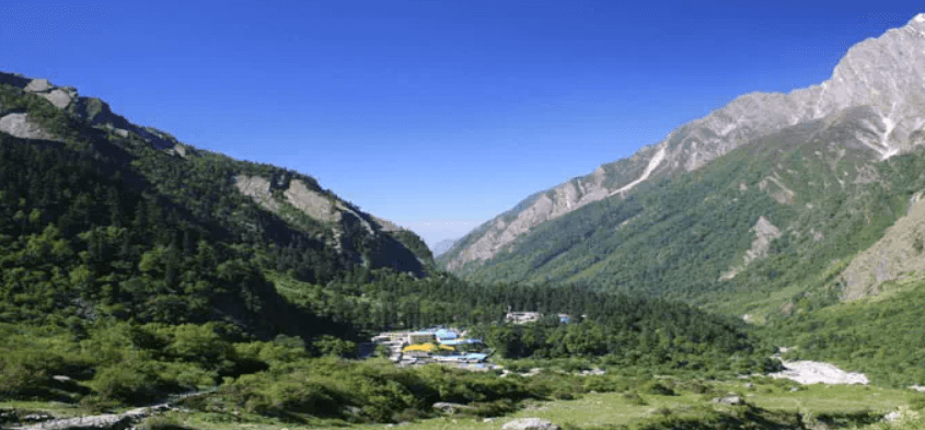
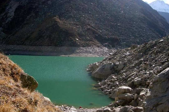
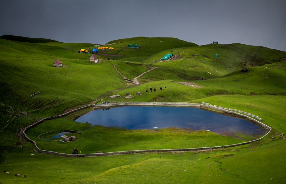
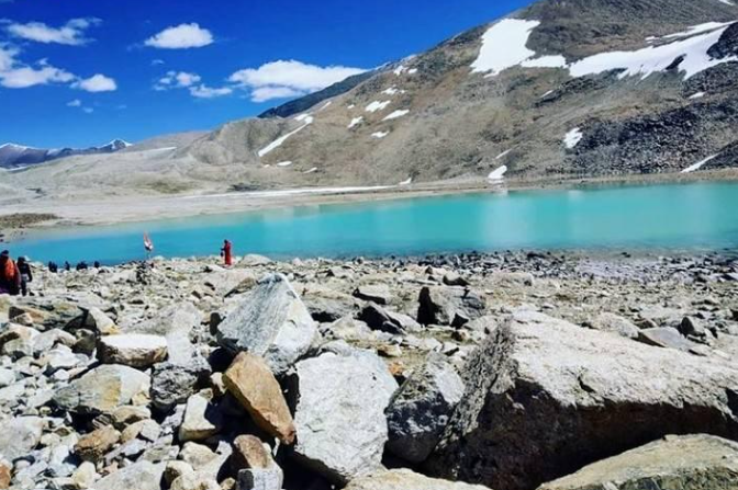
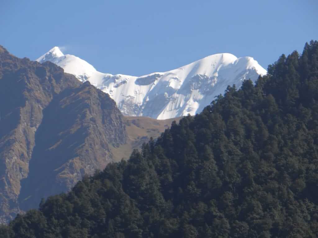
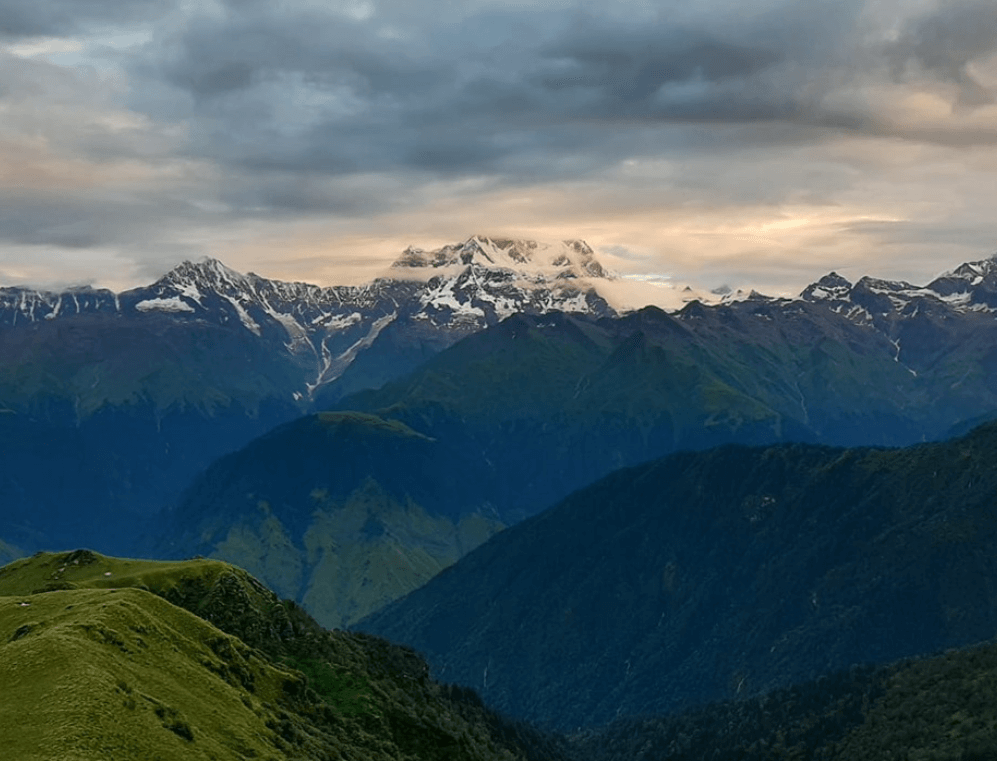
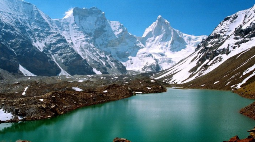
Kagbhusandi Tal is a stunning glacial lake nestled in the Indian state of Uttarakhand, within the Garhwal region of the Himalayas. Situated at an altitude of around 5,600 meters (18,370 feet) above sea level, it’s renowned for its breathtaking beauty and remote location. The lake is surrounded by towering peaks, including the famous Shivling Peak, which adds to its picturesque charm.
Kagbhusandi Tal In Nanda Devi National Park

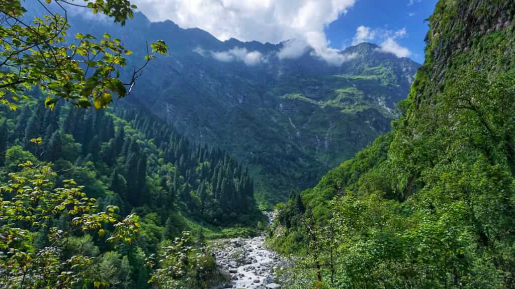
Kagbhusandi Tal is indeed a beautiful lake nestled within the Nanda Devi National Park, located in the Chamoli district of Uttarakhand, India. It’s surrounded by stunning Himalayan peaks and lush greenery, making it a popular trekking destination for nature enthusiasts. The trek to Kagbhusandi Tal offers breathtaking views of the surrounding landscapes, including the majestic Nanda Devi peak, which is the second highest mountain in India. The lake itself is crystal clear, reflecting the pristine beauty of its surroundings. Trekking to Kagbhusandi Tal is an adventure worth experiencing for anyone seeking to immerse themselves in the serene wilderness of the Himalayas.

Activities In Kagbhusandi Tal

Trekking: The area around Kagbhusandi Tal is famous for trekking. The trek to Kagbhusandi Tal usually starts from Mana village near Badrinath. The trail takes you through scenic landscapes, alpine meadows, and dense forests.

Photography: With its stunning views of snow-capped peaks, pristine lakes, and lush greenery, Kagbhusandi Tal offers ample opportunities for photography enthusiasts to capture breathtaking shots.

Camping: Camping by the serene Kagbhusandi Tal can be a memorable experience. Set up your campsite near the lake and spend a night under the starry sky, surrounded by nature’s tranquility.

Nature Walks: Explore the surrounding areas on foot, taking leisurely strolls to soak in the natural beauty and observe the diverse flora and fauna.

Yoga and Meditation: The serene environment of Kagbhusandi Tal makes it an ideal spot for practicing yoga and meditation. Engage in some rejuvenating sessions amidst nature’s tranquility.

Overall, Kagbhusandi Tal is a gem hidden amidst the majestic Himalayan peaks, offering an unforgettable adventure for those willing to embark on the journey to reach it.

Auli ropeway Auli ropeway 22

Auli ropeway

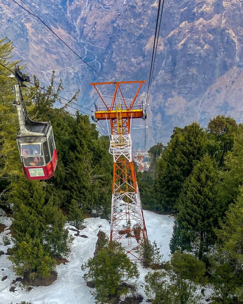
The Auli ropeway is one of the longest ropeways in Asia and is located in the picturesque town of Auli…

Auli auli uttarakhand

Auli

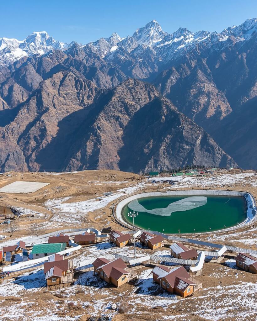
Auli is a breathtaking hill station and ski resort located in the Chamoli district of Uttarakhand, India. Situated in the…

Joshimath joshimath12

Joshimath

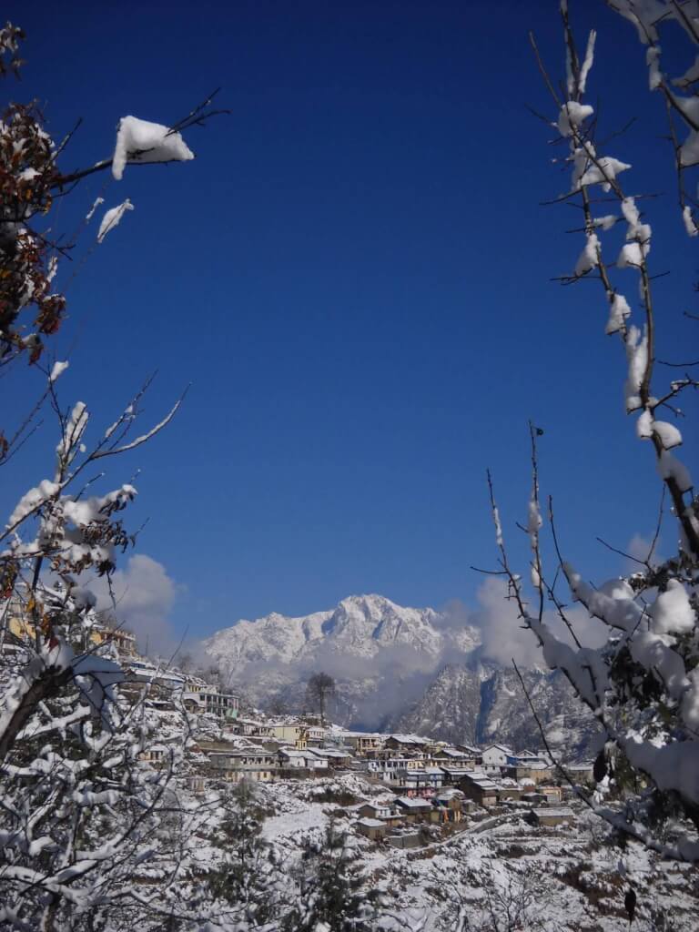
Joshimath is a town in the Chamoli district of Uttarakhand, India. Situated in the Garhwal region of the Himalayas, it…

How To Reach Kagbhusandi Tal

By Road

Joshimath is well-connected by road to major cities like Dehradun, Rishikesh, and Haridwar.
Once in Joshimath, you may need to arrange local transportation or trek to Kagbhusandi Tal.
From Joshimath, the trek to Kagbhusandi Tal typically starts from a village called Bhyundar.

By Train

The nearest railway station is Rishikesh Railway Station, which is around 250 kilometers away from Joshimath. From Rishikesh, you can either hire a taxi or take a bus to reach Joshimath.
Similar to the air route, once you reach Joshimath, you may need local transportation or trekking to reach Kagbhusandi Tal.

By Air

The nearest airport is the Jolly Grant Airport in Dehradun, which is around 270 kilometers away from Joshimath. From Dehradun, you can hire a taxi or use public transportation to reach Joshimath.

Hemkund Lake

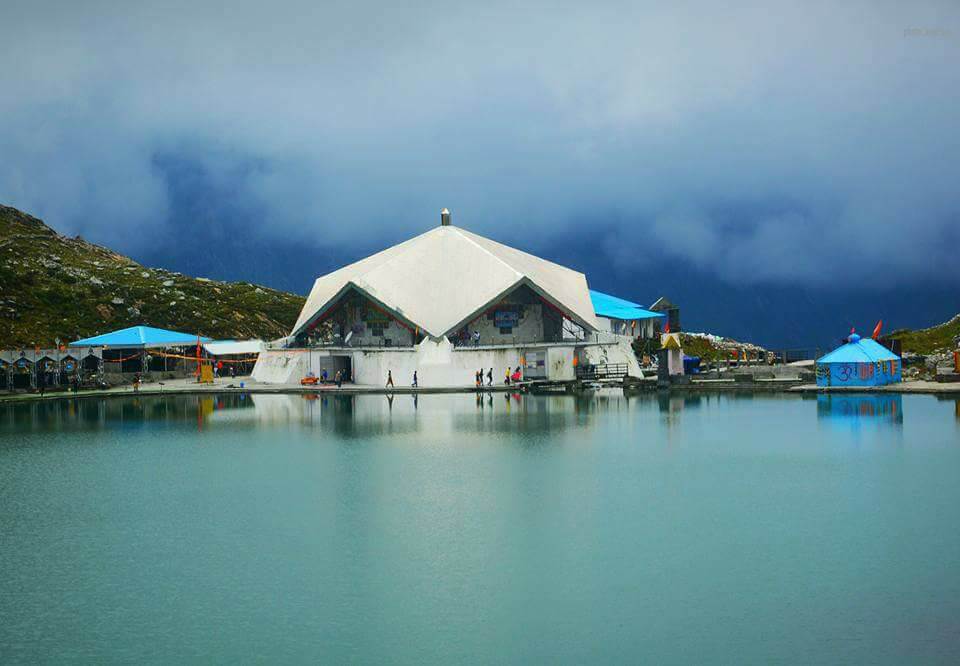
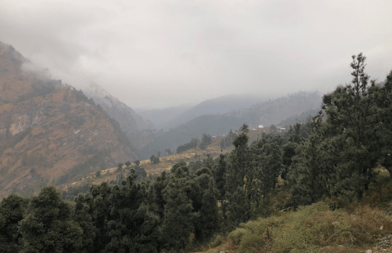
Hemkund Lake, also known as Gurudwara Sri Hemkund Sahib, is a sacred Sikh pilgrimage site situated in the Chamoli district of Uttarakhand, India. It is located at an elevation of about 4,329 meters (14,200 feet) above sea level amidst the Himalayan mountain ranges. The name “Hemkund” translates to “Lake of Snow,” which is quite apt considering its high-altitude location.

Hemkund Lake In Chamoli

Hemkund Lake is a stunning high-altitude lake located in the Chamoli district of Uttarakhand, India. Situated at an elevation of around 4,329 meters (14,200 feet) above sea level, it is surrounded by snow-capped peaks and lush green meadows. The lake holds immense religious significance for Sikhs and Hindus alike, with a gurudwara (Sikh temple) called Sri Hemkund Sahib located nearby.
Every year, thousands of pilgrims and trekkers visit Hemkund Lake, especially during the summer months when the weather is conducive for trekking. The journey to the lake involves a challenging trek that begins from the base camp at Govindghat and passes through picturesque landscapes, dense forests, and alpine meadows. Along the way, trekkers are treated to breathtaking views of the Himalayan peaks.

Mythology About Hemkund Lake

Hemkund Lake holds immense significance in Hindu mythology and Sikh tradition. In Hindu mythology, it is believed to be the place where Lakshman, the younger brother of Lord Rama, meditated during the events of the epic Ramayana. According to the legend, Lakshman was severely injured during the battle with the demon king Ravana. In order to heal him, Hanuman, the monkey god, was sent to fetch the Sanjeevani herb from the Himalayas. It is said that Hemkund Lake is the spot where Hanuman collected the miraculous herb.

In Sikh tradition, Hemkund Sahib, located near the lake, is a highly revered pilgrimage site. It is associated with Guru Gobind Singh, the tenth Sikh Guru. According to Sikh history, Guru Gobind Singh meditated at Hemkund Sahib during his previous incarnation as Guru Gobind Rai. He is believed to have discovered the sacred site during his spiritual journey through the Himalayas.

Activities In Hemkund Lake

Hemkund Lake, nestled in the pristine Himalayan surroundings of Uttarakhand, India, offers a serene and spiritually uplifting experience. Here are some activities you can enjoy around Hemkund Lake:

Pilgrimage to Hemkund Sahib: The primary attraction is the revered Sikh shrine, Hemkund Sahib Gurudwara, located on the banks of Hemkund Lake. Pilgrims from all over the world visit this sacred site, especially during the summer months when the weather is conducive.

Trekking: The journey to Hemkund Lake involves a challenging trek of about 6-7 kilometers from Govindghat, which serves as the base camp. The trek offers breathtaking views of the surrounding peaks and lush greenery, making it a rewarding experience for adventure enthusiasts.

Photography: Hemkund Lake is surrounded by towering peaks and lush alpine meadows, providing ample opportunities for photography enthusiasts to capture stunning landscapes, colorful flowers, and the tranquil waters of the lake.

Nature Walks: Explore the beautiful surroundings of Hemkund Lake through leisurely nature walks. Immerse yourself in the natural beauty of the Himalayas, breathe in the fresh mountain air, and listen to the melodious chirping of birds.

Meditation and Yoga: The serene ambiance of Hemkund Lake makes it an ideal spot for meditation and yoga practice. Sit by the tranquil waters, close your eyes, and let the peaceful surroundings rejuvenate your mind, body, and soul.

Ghaghariya uttarakhand ghangaria 22

Ghaghariya

Ghangaria Valley, also known as Govindghat or Ghangaria, is a picturesque valley nestled in the Chamoli district of Uttarakhand, India….

Hemkund Sahib Hemkund sahib

Hemkund Sahib

It is also known as Gurudwara Sri Hemkund Sahib Ji, is a Sikh place of worship located in the Chamoli…

How To Reach Harshil

By Road

If you’re traveling by your own vehicle or hiring a taxi, you can drive from Rishikesh or Dehradun to Govindghat. The route from Rishikesh to Govindghat passes through Devprayag, Rudraprayag, Karnaprayag, Chamoli, and Joshimath.
You can take a bus from Rishikesh to Govindghat. Several state-run and private buses operate on this route. The journey takes about 10-12 hours, depending on the road conditions and traffic.

By Train

The nearest major railway station is Rishikesh railway station. From Rishikesh, you can hire a taxi or take a bus to reach Govindghat. The distance between Rishikesh and Govindghat is around 273 kilometers, and the journey takes about 9-10 hours.

By Air

The nearest airport to Hemkund Lake is the Jolly Grant Airport in Dehradun. From there, you can take a taxi or bus to reach Govindghat, which is the base point for the trek to Hemkund Sahib. It’s approximately a 10-12 hour drive from Dehradun to Govindghat.

Homkund Lake

Homkund Lake, also known as “Mystery Lake,” is a high-altitude lake located in the Garhwal Himalayas of Uttarakhand, India. It is situated at an elevation of around 5,029 meters (16,499 feet) above sea level. The lake holds significant religious and mythological importance, particularly in Hinduism.

Homkund Lake In Chamoli

Homkund Lake, nestled in the Chamoli district of Uttarakhand, is a serene high-altitude lake perched at an impressive elevation of 15,200 feet above sea level. It finds its home on the right base of the formidable Nanda Ghunti Peak. This pristine body of water is a sight to behold, especially with its picturesque backdrop of majestic snow-clad peaks, including the imposing Trishul and Nanda Ghunti.
The lake’s tranquil ambiance and breathtaking surroundings make it a haven for nature lovers and adventurers alike. Its remote location adds to its allure, offering visitors a chance to immerse themselves in the untouched beauty of the Himalayas.

Mythology About Homkund Lake

Homkund Lake holds a significant place in Hindu mythology and is situated in the Himalayan region of Uttarakhand, India. According to legend, it is believed to be the place where Lord Shiva, the Hindu deity, resided for a while during his earthly sojourn. Here’s a brief overview of the mythology surrounding Homkund Lake:

Lord Shiva’s Meditation: According to the mythological accounts, Lord Shiva chose Homkund as a place for meditation and penance. It is said that he performed rigorous meditation here to attain spiritual enlightenment.
The Battle with Demon: Legends also mention a fierce battle between Lord Shiva and a powerful demon named Apasmara. This demon represented ignorance and darkness. Lord Shiva fought Apasmara in Homkund to rid the world of evil forces. During this intense battle, it is said that Lord Shiva created the Homkund Lake with his trident (trishul) to quench his thirst. The lake is believed to have been formed by the water that flowed from the impact of Shiva’s trident hitting the ground.
Pilgrimage Site: Homkund is considered a sacred site by Hindus and attracts pilgrims who embark on arduous journeys to reach the lake, especially during the annual Nanda Devi Raj Jat Yatra, a significant pilgrimage in the region.
Natural Beauty: Apart from its religious significance, Homkund is also renowned for its breathtaking natural beauty, surrounded by snow-capped peaks and pristine alpine meadows.
Cultural Importance: Homkund Lake is not just a site of religious significance but also holds cultural importance in the region. Folklore, rituals, and local traditions associated with the lake enrich the cultural fabric of the Himalayan communities.

While the mythological accounts of Homkund Lake add to its allure, the natural beauty and spiritual aura of the place continue to fascinate pilgrims, trekkers, and nature enthusiasts alike.

Bedni Kund uttarakhand bedni kund22

Bedni Kund

Bedni Kund is a high-altitude lake located in the Chamoli district of Uttarakhand, India. It is situated at an elevation…

How To Reach Harshil

By Road

You can reach Gopeshwar by road from various cities in Uttarakhand such as Rishikesh, Haridwar, Dehradun, and others.
From Gopeshwar, you will need to start the trek to Homkund Lake. The trek is challenging and requires good physical fitness as well as proper planning and preparation.

By Train

The nearest major railway station is Rishikesh Railway Station.
From Rishikesh, you can hire a taxi or take a bus to reach Gopeshwar, which is the nearest town to Homkund Lake.From Gopeshwar, you will need to trek to reach Homkund Lake. The trekking route starts from Gopeshwar and passes through picturesque landscapes and remote villages.

By Air

The nearest airport to Homkund Lake is the Jolly Grant Airport in Dehradun, Uttarakhand.From Dehradun, you can take a flight to reach the airport.After reaching the airport, you will need to continue your journey by road or trekking, as there are no direct flights to Homkund Lake.

Trekking Route

The trek to Homkund Lake usually takes around 5-7 days, depending on your pace and the weather conditions.
The trekking route passes through dense forests, meadows, and high altitude terrain. It is advisable to hire a local guide who is familiar with the route.

Deo Tal

Deo Tal, situated atop Mana Pass, is a revered lake with profound religious significance, as it is believed to be the mythical origin of the Sarasvati River. Located just 3 kilometers before reaching Mana Pass Zero Point, it holds a central place in local lore and spiritual beliefs.

Deo Tal In Chamoli

Deo Tal, located atop Mana Pass in the Chamoli district, holds significant cultural and religious importance in Hindu mythology. It is believed to be the origin of the mythical Saraswati River, a revered river in Hinduism associated with knowledge, wisdom, and the arts.
Situated amidst icy peaks, Deo Tal remains frozen for most of the year, thawing only in the month of September. Its surroundings are breathtaking, with Rajas Tal and Nag Tal situated nearby, adding to the mystical ambiance of the region.

The name “Deo Tal” translates to “Lake of The Gods” in Sanskrit, underscoring its divine significance in Hindu belief. Pilgrims and travelers often visit this sacred lake to pay homage and seek blessings. The serene beauty and spiritual aura of Deo Tal make it a must-visit destination for those seeking solace and spiritual connection amidst the majestic Himalayas.

Mythology About Deo Tal

Deo Tal indeed holds significant religious and mythological importance in Hinduism, particularly as the believed origin of the Sarasvati River. According to Hindu mythology, Sarasvati is considered one of the major rivers mentioned in ancient scriptures like the Rigveda.
The lake’s remote and serene location, nestled amidst icy peaks, adds to its mystique and spiritual ambiance. Its perpetually frozen state, except for the brief thaw in September, adds to the allure and makes it a destination of pilgrimage and spiritual retreat.
Activities in Deo Tal are often centered around religious rituals, meditation, and contemplation. Pilgrims and devotees visit the lake to offer prayers, perform rituals, and seek blessings. The tranquil surroundings provide an ideal environment for introspection and connecting with nature.

History Of Deo Tal

Deo Tal, situated atop Mana Pass, holds significant spiritual and historical importance, particularly in Hindu mythology. It is believed to be the origin of the mythical Saraswati River, which is revered as one of the holiest rivers in Hinduism.
The lake’s surroundings, nestled amidst icy peaks, contribute to its mystical ambiance. Its name, “Deo Tal,” translates to “Lake of the Gods” in Sanskrit, indicating its divine connection.

Despite its remote and rugged location, Deo Tal attracts pilgrims and travelers who seek spiritual solace and wish to witness the sacred origins of the Saraswati River. The lake remains frozen for most of the year, except during September, adding to its mystique and allure.

How To Reach Deo Tal

By Road

You can reach Mana Pass by road from major cities like Rishikesh, Dehradun, or Haridwar. Once you reach Mana Pass, Deo Tal is just 3 kilometers away.

By Train

The nearest major railway station is Rishikesh Railway Station. From there, you can hire a taxi or use public transportation to reach Mana Pass.

By Air

The nearest airport to Mana Pass, where Deo Tal is located, is the Jolly Grant Airport in Dehradun, Uttarakhand. From there, you would need to arrange further transportation, either by road or by helicopter, to reach Mana Pass.

By Trekking

Another adventurous option is to trek to Deo Tal. There might be trekking routes available from nearby villages or towns. Make sure to check for local guides and take necessary precautions, especially if you’re trekking in high-altitude regions.

Lohajung

Lohajung is a scenic village located in the Chamoli district of Uttarakhand, India. Situated at an altitude of around 2,330 meters (7,640 feet) above sea level, it serves as a base camp for trekkers heading towards various Himalayan peaks, including Roopkund, Bedni Bugyal, and others.

Lohajung In Chamoli

Lohajung is a small village located in the Chamoli district of Uttarakhand, India. It serves as a base camp for trekkers heading towards the famous Roopkund Lake trek, which is renowned for its mysterious skeletal remains and stunning Himalayan vistas. Lohajung itself is surrounded by scenic beauty, with lush green meadows and snow-capped peaks dominating the landscape. The village offers basic accommodation and facilities for trekkers and adventurers exploring this picturesque region.

Activities In Lohajung

Trekking: Lohajung serves as a base for several trekking routes, including the famous Roopkund Trek and Bedni Bugyal Trek. These treks take you through breathtaking landscapes, alpine meadows, dense forests, and high altitude lakes.

Exploring: Wander around Lohajung to explore its natural beauty. The village is surrounded by lush greenery and offers serene views of the Himalayas.

Photography: Capture the stunning vistas of the Himalayan peaks, verdant valleys, and quaint village life. Lohajung provides ample opportunities for photography enthusiasts.

Camping: Set up camp amidst nature and enjoy a night under the stars. Camping in Lohajung allows you to experience the tranquility of the Himalayas.

Bird Watching: Uttarakhand is home to a diverse range of bird species. Spend some time birdwatching around Lohajung and spot colorful Himalayan birds.

Local Culture: Interact with the locals to learn about their culture and way of life. You can also visit nearby villages to experience the traditional Pahadi lifestyle.

Visit Bugyal: Explore the nearby Bugyals (high-altitude meadows) like Bedni Bugyal and Ali Bugyal. These meadows are known for their lush greenery and panoramic views of the surrounding mountains.

Nature Walks: Take leisurely strolls through the forests and meadows surrounding Lohajung. Enjoy the fresh mountain air and immerse yourself in the beauty of nature.

Wan village wan village

Wan village

Wan Village is a beautiful hamlet At 2,400 metres above sea level, the quiet village of Wan is found in Uttarakhand’s…

Joshimath joshimath12

Joshimath

Joshimath is a town in the Chamoli district of Uttarakhand, India. Situated in the Garhwal region of the Himalayas, it…

Chamoli The panch DHARA

Chamoli

Chamoli District, located in the northern state of Uttarakhand, India, is a picturesque region known for its stunning landscapes, diverse…

How To Reach Lohajung

By Road

From Delhi: You can take a bus or hire a taxi from Delhi to Lohajung. The journey takes around 12-14 hours.
From Kathgodam: You can take a bus or hire a taxi from Kathgodam to Lohajung. The journey takes around 8-10 hours.
From Dehradun: You can take a bus or hire a taxi from Dehradun to Lohajung. The journey takes around 10-12 hours.

By Train

By Train: The nearest railway station is Kathgodam Railway Station, located around 225 kilometers away from Lohajung. From Kathgodam, you can hire a taxi or take a bus to reach Lohajung.

By Air

By Air: The nearest airport is the Jolly Grant Airport in Dehradun, which is approximately 215 kilometers away from Lohajung. From there, you can hire a taxi or use public transportation to reach Lohajung.

Gamshali

Gamshali is a small village located in the Chamoli district of the Indian state of Uttarakhand. Chamoli is known for its stunning natural beauty, nestled in the Himalayas and surrounded by picturesque landscapes.The village of Gamshali likely shares in this natural beauty, in general, is famous for its pilgrimage sites, trekking trails, and serene environment, making it a popular destination for nature enthusiasts and spiritual seekers alike.

Gamsali In Chamoli

Gamshali, situated just 5 kilometers before the final village of Niti in the Niti Valley, holds the distinction of being the second-to-last settlement in the area. Despite its size and population, Gamshali experiences a seasonal migration pattern during winters. The villagers temporarily relocate to nearby villages like Chameli, Baunla, Semla, and Math to escape the harsh winter conditions, indicating a shared strategy for coping with the challenging weather in the region.

Activities in Gamshali

Gamshali in Chamoli district, Uttarakhand, India, offers a range of activities for nature lovers and adventure enthusiasts. Here are some activities you might enjoy:

Trekking: Gamshali is surrounded by beautiful Himalayan peaks, making it an excellent base for trekking adventures. Popular treks in the region include the Roopkund Trek, Kuari Pass Trek, and Pangarchulla Peak Trek.

Nature Walks: Explore the serene beauty of Gamshali and its surroundings with guided nature walks. You can discover hidden trails, observe local flora and fauna, and enjoy breathtaking views of the Himalayas.

Camping: Experience the tranquility of the Himalayan wilderness by camping under the starry skies. Many camping sites offer basic amenities and stunning views of the surrounding mountains.

Bird Watching: Gamshali is home to a diverse range of bird species, making it a paradise for birdwatchers. You can spot various Himalayan birds such as Himalayan Monal, Cheer Pheasant, and various species of eagles and vultures.

Village Tourism: Immerse yourself in the local culture by visiting nearby villages and interacting with the friendly villagers. Learn about their traditional way of life, taste local cuisine, and participate in cultural activities.

Photography: Capture the mesmerizing landscapes, colorful flora, and diverse wildlife of Gamshali with your camera. Every corner of this region offers picture-perfect opportunities for photography enthusiasts.

Bampa Village uttarakhand bampa village

Bampa Village

Bampa village is a picturesque settlement located near Joshimath in the Chamoli district of Uttarakhand, India. This region is renowned…

Agoda Village uttarakhand Agoda Village

Agoda Village

Agoda Village, nestled at an elevation of 2250 meters amidst the grandeur of the Himalayas, serves as a captivating destination…

Niti Valley niti village52

Niti Valley

Niti Valley is a stunningly beautiful region located in the Indian state of Uttarakhand, nestled in the Himalayas. It’s known…

How To Reach Gamshali

By Road

From Chamoli town, you can hire a taxi or take a local bus to reach Gamshali. It’s essential to check the current status of road conditions, especially if you’re traveling during the monsoon season or winter when certain routes might be affected.

By Train

The nearest railway station to Chamoli is in Rishikesh, around 215 kilometers away. From Rishikesh, you can again hire a taxi or take a bus to Chamoli.

By Air

By Air:The nearest airport to Gamshali is the Jolly Grant Airport in Dehradun, which is around 240 kilometers away. From there, you can hire a taxi or use public transportation to reach Chamoli district.

Bampa Village

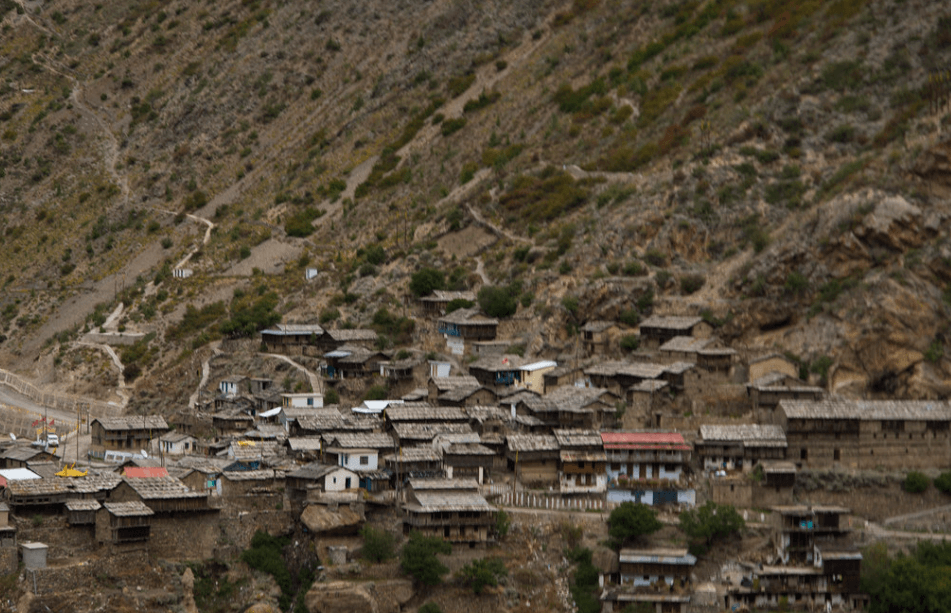
Bampa village is a picturesque settlement located near Joshimath in the Chamoli district of Uttarakhand, India. This region is renowned for its stunning natural beauty, nestled amidst the majestic Himalayan mountains. Visitors to Bampa village can experience the charm of rural life in the mountains, surrounded by lush greenery, cascading waterfalls, and breathtaking vistas.

Bampa village in Joshimath

Bampa is a quaint village located in the Joshimath Tehsil of Chamoli district in the state of Uttarakhand, India. Positioned approximately 370 kilometers away from Dehradun, the capital of Uttarakhand, it lies 32 kilometers to the east of the district headquarters. The village is renowned for being home to the famous Panchnaag temple, which is a significant religious and cultural landmark in the region.

Activities in Bampa village

Bampa village in Joshimath, Uttarakhand, India, offers a variety of activities for visitors looking to immerse themselves in the natural beauty and cultural heritage of the region. Here are some activities you can enjoy:

Trekking: Bampa village serves as a great base for trekking expeditions into the nearby Himalayan ranges. You can embark on treks to renowned destinations like Valley of Flowers, Hemkund Sahib, or Kuari Pass.

Village Walks: Explore the charm of Bampa village by taking leisurely walks through its narrow lanes, interacting with locals, and experiencing the traditional way of life in the mountains.

Bird Watching: Uttarakhand is home to a diverse range of bird species. Bird watching enthusiasts can spend their time observing and identifying various birds in the surrounding forests and fields.

Photography: The scenic beauty of Bampa village and its surroundings offers ample opportunities for photography enthusiasts to capture stunning landscapes, colorful flora, and local life.

Camping: Experience the serenity of the Himalayas by camping under the starry sky. Many camping sites near Bampa village provide a peaceful retreat amidst nature.

Cultural Experiences: Engage in cultural activities like participating in local festivals, learning about traditional folk music and dance forms, and tasting authentic Garhwali cuisine.

Visit Temples: Explore the religious significance of the region by visiting ancient temples such as the Narsingh Temple or the Bhavishya Badri Temple, which are located in the vicinity of Joshimath.

Auli ropeway Auli ropeway 22

Auli ropeway

The Auli ropeway is one of the longest ropeways in Asia and is located in the picturesque town of Auli…

Auli auli uttarakhand

Auli

Auli is a breathtaking hill station and ski resort located in the Chamoli district of Uttarakhand, India. Situated in the…

Tapovan joshimath Tapovan joshimath5

Tapovan joshimath

Tapovan is a beautiful and serene destination located near Joshimath in the Chamoli district of Uttarakhand, India. Situated at an…

Joshimath joshimath12

Joshimath

Joshimath is a town in the Chamoli district of Uttarakhand, India. Situated in the Garhwal region of the Himalayas, it…

How To Reach Bampa Village

By Road

Joshimath is well-connected by road to major cities like Rishikesh, Haridwar, and Dehradun. You can find regular buses or hire a taxi from these cities to reach Joshimath.
By Train

The nearest railway station is Rishikesh Railway Station, which is around 250 km away from Joshimath. From Rishikesh, you can hire a taxi or take a bus to Joshimath.

By Air

The nearest airport is Jolly Grant Airport in Dehradun, which is about 270 km away from Joshimath. From the airport, you can hire a taxi or take a bus to reach Joshimath.
Agoda Village

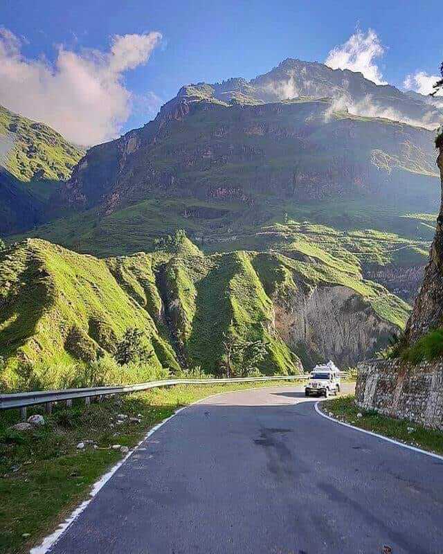
Agoda Village, nestled at an elevation of 2250 meters amidst the grandeur of the Himalayas, serves as a captivating destination along the path to the pristine Dodital Lake. Situated on the Dodital Trek route, it presents itself as an enchanting hamlet, offering travelers an ideal pause to immerse themselves in its scenic beauty and interact with the local community.

Agoda Village In Chamoli

Agoda Village is a picturesque hamlet located in the Chamoli district of Uttarakhand, India. Situated amidst the stunning backdrop of the Himalayas, this village offers breathtaking views of snow-capped peaks, lush greenery, and serene surroundings. It’s a perfect destination for nature lovers, trekkers, and those seeking tranquility away from the hustle and bustle of city life.
The village is known for its traditional Garhwali culture and hospitality. Visitors can immerse themselves in the local way of life by interacting with the villagers, indulging in traditional cuisine, and experiencing the rich cultural heritage of the region.

Activities In Agoda

Agoda Village sounds like a serene escape nestled amidst the Himalayas! Here are some activities one might enjoy there:

Hiking and Trekking: With its location on the Dodital Trek route, Agoda Village offers excellent opportunities for hiking and trekking. Explore the surrounding trails and take in the breathtaking views of the Himalayan landscape.

Village Exploration: Immerse yourself in the local culture by exploring Agoda Village. Wander through its narrow lanes, interact with the friendly villagers, and learn about their way of life, traditions, and customs.

Photography: Capture the stunning beauty of Agoda Village and its surroundings through photography. From panoramic views of the Himalayas to quaint village scenes, there’s plenty to inspire photographers of all levels.

Birdwatching: The Himalayan region is rich in birdlife, and Agoda Village is no exception. Bring your binoculars and spot a variety of bird species amidst the lush greenery surrounding the village.

Camping: Set up camp in the tranquil surroundings of Agoda Village for a night under the stars. Experience the peacefulness of the mountains and the crisp mountain air as you camp amidst nature.

Local Cuisine: Indulge in the delicious local cuisine of Agoda Village. Sample traditional dishes prepared with locally sourced ingredients and savor the authentic flavors of the region.

Yoga and Meditation: Find inner peace amidst the serene surroundings of Agoda Village. Practice yoga and meditation surrounded by the tranquility of the Himalayas for a truly rejuvenating experience.

Stargazing: Away from the city lights, Agoda Village offers excellent opportunities for stargazing. Marvel at the night sky as you spot constellations and shooting stars from this high-altitude location.

Dodital Lake Doital lake

Dodital Lake

Dodital Lake is a serene freshwater lake situated in the Indian state of Uttarakhand, nestled amidst the Garhwal Himalayas at…

How To Reach Agoda Village

By Road

From Rishikesh, you can hire a taxi or take a bus to Uttarkashi. Agoda Village lies en route the trek to Dodital from Uttarkashi. You can further hire a local taxi or trek from Uttarkashi to Agoda Village.

By Train

By Train: The nearest railway station is Rishikesh Railway Station. You can take a train to Rishikesh from various parts of India and then continue your journey to Agoda Village by road.

By Air

If you’re traveling from a distant location, the nearest airport is Jolly Grant Airport in Dehradun, Uttarakhand. From there, you can take a flight to reach the closest airport and then proceed to Agoda Village by road.

Ghaghariya

Ghangaria Valley, also known as Govindghat or Ghangaria, is a picturesque valley nestled in the Chamoli district of Uttarakhand, India. It serves as the base camp for treks to the Valley of Flowers National Park and the Hemkund Sahib Gurudwara.

Ghangaria, nestled at the confluence of the River Pushpawati from the Valley of Flowers and the River Hemganga from Hemkund Sahib, is a picturesque haven ensconced in the embrace of the Himalayas. Located at an elevation of 3,050 meters in Uttarakhand, it serves as the final human settlement along the Bhyundar Valley. This charming hamlet is a vital rest stop for travelers exploring both Hemkund and the renowned Valley of Flowers. Its serene ambiance and breathtaking natural beauty make it a must-visit destination for adventurers and nature enthusiasts alike.

During winter, Ghangaria transforms into a winter wonderland, draped in a pristine blanket of snow, and the region remains inaccessible between December and April. However, come spring, the landscape bursts into life with vibrant blooms and lush greenery, attracting visitors from far and wide to witness nature’s spectacle.

Activities in Ghangaria

Ghangaria, located in the Uttarakhand state of India, serves as a base camp for trekkers visiting the Valley of Flowers National Park and Hemkund Sahib.It’s a small village primarily used as a starting point for these treks, there are still a few activities you can enjoy there:

Trekking: Ghangaria is the starting point for two popular treks – one to the Valley of Flowers and the other to Hemkund Sahib. Both treks offer stunning views of the Himalayas and are a great way to experience the natural beauty of the region.

Exploring the Village: Ghangaria itself is a picturesque village nestled in the mountains. Take some time to wander through its narrow lanes, interact with locals, and learn about their way of life.

Bird Watching: The region around Ghangaria is home to a variety of bird species. Birdwatchers can spot a number of colorful birds in the forests surrounding the village.

Photography: Whether you’re into landscapes, wildlife, or cultural photography, Ghangaria and its surroundings offer plenty of opportunities to capture stunning images.

Relaxation: After a long day of trekking or exploring, take some time to relax and unwind in the peaceful surroundings of Ghangaria. Enjoy the fresh mountain air and serene atmosphere.

Visit Hemkund Sahib: If you’re interested in religious and spiritual sites, you can make the trek to Hemkund Sahib, a Sikh shrine located at an altitude of over 15,000 feet. The trek is challenging but rewarding, with breathtaking views along the way.

Hemkund Sahib Hemkund sahib

Hemkund Sahib

It is also known as Gurudwara Sri Hemkund Sahib Ji, is a Sikh place of worship located in the Chamoli…

Govindghat

Govindghat

Govindghat is a pristine hamlet adorned by pilgrims and adventurers alike, in the Chamoli district of Uttarakhand state. It is…

How To Reach Ghaghariya

By Road

Govindghat is the base point for the trek to Ghangaria. It is well-connected by road to major cities like Rishikesh, Haridwar, and Dehradun. You can either drive to Govindghat or take a bus from these cities. From Govindghat, it’s about a 13-kilometer trek to Ghangaria.

By Train

The nearest railway station to Ghangaria is Rishikesh railway station, which is around 273 kilometers away. From Rishikesh, you can hire a taxi or take a bus to Govindghat.

By Air

The nearest airport to Ghangaria is Jolly Grant Airport in Dehradun, which is around 295 kilometers away. From the airport, you can hire a taxi or take a bus to Govindghat, the starting point of the trek to Ghangaria.

Trekking

Once you reach Govindghat, you have to trek to Ghangaria. It’s a moderate trek and takes about 4-6 hours depending on your pace.

Bisuri Tal

Bisurital is a high-altitude lake situated at an elevation of 4000 meters in the Mandakini valley near Chopta, Uttarakhand. Despite its stunning natural beauty and hidden location, it remains relatively unknown to many trekkers. This makes it a hidden gem for those seeking off-the-beaten-path trekking destinations in the region.

Bisurital In Chopta

Bisurital indeed sounds like a serene and picturesque destination for trekking and exploration in the Mandakini valley near Chopta. High-altitude lakes are often gems tucked away in the midst of majestic mountains, offering not just stunning scenery but also a sense of tranquility that’s hard to find elsewhere.

Activities In Bisuri Tal

Bird Watching: The lake and its surrounding areas are home to a variety of bird species, making it a paradise for birdwatchers. You can spend time observing the diverse avian life and capturing photos of the feathered inhabitants.

Picnicking: Bisuri Tal provides a serene environment perfect for picnics. Families and groups of friends can bring along food baskets and enjoy a leisurely day by the lakeside, surrounded by lush greenery.

Nature Walks: The area around Bisuri Tal is rich in natural beauty, with lush forests and scenic trails. Nature enthusiasts can take leisurely walks or hikes along these trails, soaking in the sights and sounds of the wilderness.

Photography: With its picturesque landscapes and abundant wildlife, Bisuri Tal offers excellent opportunities for photography. Whether you’re an amateur photographer or a professional, you’ll find plenty of subjects to capture in this idyllic setting.

Camping: Some areas around Bisuri Tal may offer camping facilities, allowing visitors to spend a night under the stars amidst nature’s beauty. Camping by the lakeside can be a memorable experience, offering tranquility and relaxation away from the hustle and bustle of city life.

Best Time to Visit

The best time to visit would generally be during the summer months, from April to June, when the weather is pleasant and the flora and fauna are in full bloom. This time offers great opportunities for trekking and exploring the surrounding areas.
Another good time to visit is during the autumn months, from September to November, when the weather is cool and the landscapes are painted in vibrant hues of red and gold due to the changing foliage.

It’s important to note that Chopta experiences heavy snowfall during the winter months, from December to February, which might make access difficult and some activities inaccessible. If you’re interested in experiencing snowfall and are prepared for the cold, winter can be a magical time to visit as well.

Kalimath kalimath

Kalimath

Kalimath is a sacred Hindu temple located in the Rudraprayag district of Uttarakhand, India. It’s situated at an altitude of…

Sari Village Sari village

Sari Village

Sari Village is situated in the Rudraprayag district of Uttarakhand, surrounded by lush greenery and the majestic Himalayan peaks.  It…

Tungnath Tungnath Temple, Chopta

Tungnath

Tungnath, serenely nestled on Chandranath Parvat, stands as the world’s highest Shiva temple and the tallest among the Panch Kedar…

Ukhimath Ukhimath, Rudraprayag

Ukhimath

Ukhimath, also known as Okhimath, is perched at an elevation of 1317 meters above sea level in the picturesque Rudraprayag…

How To Reach Bisuri Tal

By Road

Chopta is well-connected by road to major cities in Uttarakhand and neighboring states. You can drive to Chopta from cities like Rishikesh, Haridwar, Dehradun, and Delhi. The roads are generally in good condition, but the mountainous terrain can make the journey slow. You can also take buses from nearby towns like Rudraprayag and Ukhimath to reach Chopta.

By Train

The nearest railway station to Chopta is Rishikesh railway station, which is approximately 209 km away. From Rishikesh, you can either hire a taxi or take a bus to reach Chopta. The journey from Rishikesh to Chopta takes around 7-8 hours by road. Another option is the Haridwar railway station, which is around 225 km away from Chopta.

By Air

The nearest airport to Chopta is the Jolly Grant Airport in Dehradun, which is approximately 226 km away. From the airport, you can hire a taxi or take a bus to reach Chopta. It’s a scenic drive through the mountains and takes around 7-8 hours to reach Chopta from Dehradun.

Contact Us