Swargarohini

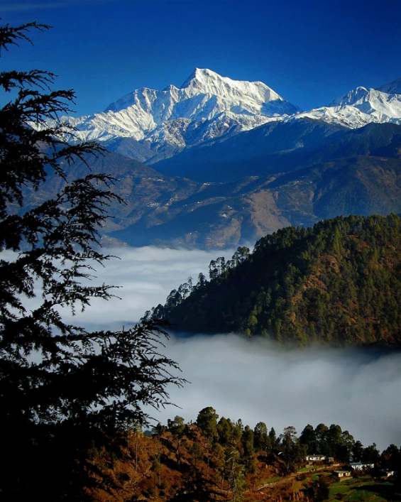
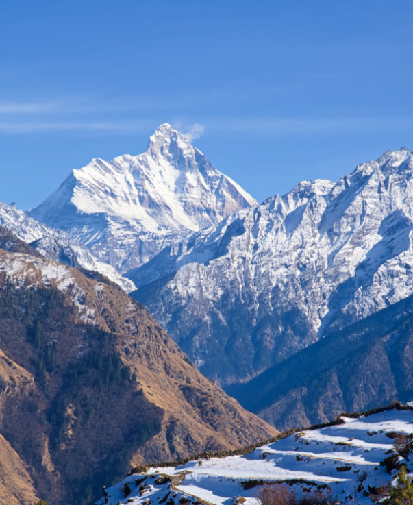
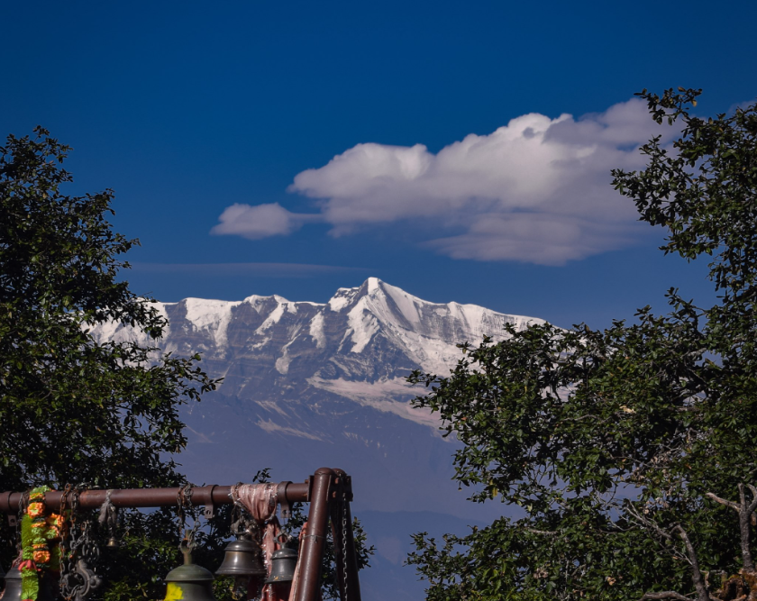
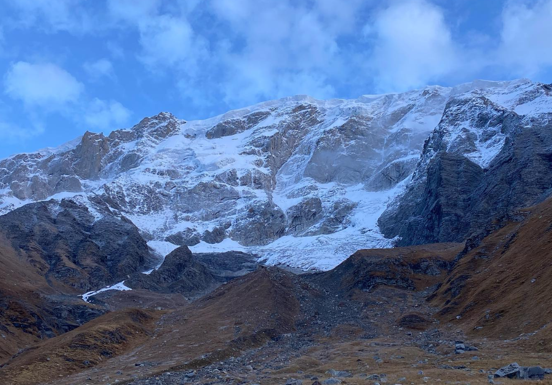
Swargarohini is a mountain massif located in the Garhwal region of the Uttarakhand state in India. It is a part of the Himalayan range and is known for its challenging peaks and breathtaking scenery.The massif consists of multiple peaks, the highest of which is Swargarohini I, standing at an elevation of about 6,252 meters (20,512 feet) above sea level.
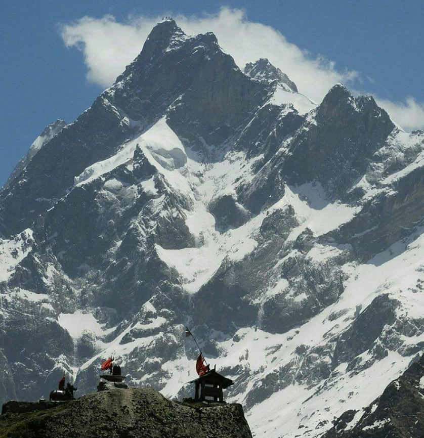
Location           Uttarkashi
Parent range          Garhwal Himalayas
Altitude           6,252 meters (20,512 feet)
First ascentIn 1957 The team that accomplished this feat consisted of Indian climbers led by Nandu Jayal.
Best time to visit         May, Jun, Sep, Oct

Mythology About Swargarohini

Swargarohini is a prominent peak located in the Garhwal Himalayas of Uttarakhand, India.It doesn’t have a mythology directly associated with it like some other peaks in the region, it holds significance in Hindu mythology due to its association with the epic story of the Mahabharata.
In the Mahabharata, Swargarohini is believed to be the path to heaven (Swarga) that the Pandavas, heroes of the epic, undertook on their final journey. It’s said that after the great war of Kurukshetra, in which the Pandavas emerged victorious but lost many of their loved ones, they decided to renounce their kingdom and worldly attachments to embark on a pilgrimage towards heaven.

Swargarohini is famous among trekkers and mountaineers for its difficult trekking routes and stunning views of the surrounding peaks and valleys. The name “Swargarohini” is derived from Hindu mythology, where it is believed to be the path taken by the Pandavas, heroes of the epic Mahabharata, to ascend to heaven (Swarga).

Peaks of Uttarakhand
Mana Peak uttarakhand MANA PEAK

Mana Peak

Mana Peak, located in the Uttarakhand region of India, is a majestic mountain nestled in the Himalayas. Standing at 7,274…

Abi Gami uttarakhand abi gami

Abi Gami

Abi Gami peak, also known as Abi Gamin, is a prominent mountain peak located in the Chamoli district of the…

Nanda Khat nanda khat22

Nanda Khat

“Nanda Kot” is a prominent peak located in the Kumaon region of the Indian state of Uttarakhand. It is part…

Nanda Ghunti uttarakhand nanda ghunti 22

Nanda Ghunti

Nanda Ghunti is a prominent peak located in the Garhwal region of the Indian state of Uttarakhand. It’s part of…

Nanda Devi UTTARAKHAND Nanda Devi22

Nanda Devi

Nanda Devi is a significant mountain peak located in the Indian state of Uttarakhand, part of the Garhwal Himalayas. It’s…

Bhagirathi Peak uttarakhand Bhagirathi peak22

Bhagirathi Peak

Bhagirathi Peak is a prominent mountain peak located in the Garhwal Himalayas of Uttarakhand, India. It is part of a…

Shivling

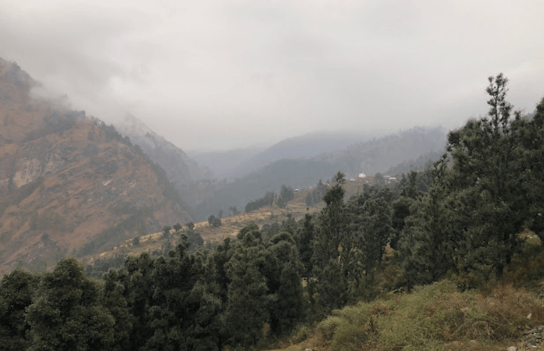
Shivling is a stunning peak located in the Garhwal region of the Indian state of Uttarakhand. It’s one of the most iconic and revered peaks in the Indian Himalayas, standing tall at an elevation of 6,543 meters (21,467 feet). The mountain is named after Lord Shiva’s iconic symbol, the Shivling, due to its resemblance to the image of Shiva’s lingam (a symbol of Hindu god Shiva).

Location           Uttarkashi
Parent range          Garhwal Himalayas
Altitude         6,543 meters (21,467 feet)
First ascentIn 1974 by an Indian expedition led by Hukam Singh.
Best time to visit         May, Jun, Sep, Oct

Mythology About Shivling

In Uttarakhand, the Shivling holds significant mythological and religious importance. The Shivling, essentially a representation of Lord Shiva, is worshipped fervently by Hindus. Here’s a popular mythology associated with the Shivling in Uttarakhand:
Legend has it that during the period of the great churning of the ocean (Samudra Manthan) by the Devas (celestial beings) and Asuras (demons), a pot of poison (halahala) emerged from the depths of the ocean. This poison was so potent that it threatened to destroy the universe. Terrified, the Devas and Asuras sought Lord Shiva’s help.

Instead of swallowing it, he held it in his throat, which turned blue due to the poison’s effect. This is why Lord Shiva is often depicted with a blue throat, earning him the name Neelkanth (the one with a blue throat).

Peaks of Uttarakhand
Maiktoli uttarakhand maiktoli

Maiktoli

Maiktoli is a mountain located in the Kumaon Himalayas of Uttarakhand, India. It is part of the Nanda Devi Sanctuary,…

Mana Peak uttarakhand MANA PEAK

Mana Peak

Mana Peak, located in the Uttarakhand region of India, is a majestic mountain nestled in the Himalayas. Standing at 7,274…

Bandarpunch Peak uttarakhand Bandarpunch Peak 22

Bandarpunch Peak

Bandarpunch Peak is a prominent mountain peak in the Garhwal Himalayas of Uttarakhand, India. It stands at an elevation of…

Bhagirathi Peak uttarakhand Bhagirathi peak22

Bhagirathi Peak

Bhagirathi Peak is a prominent mountain peak located in the Garhwal Himalayas of Uttarakhand, India. It is part of a…
Neelkantha Peak Neelkantha Peak123

Neelkantha Peak

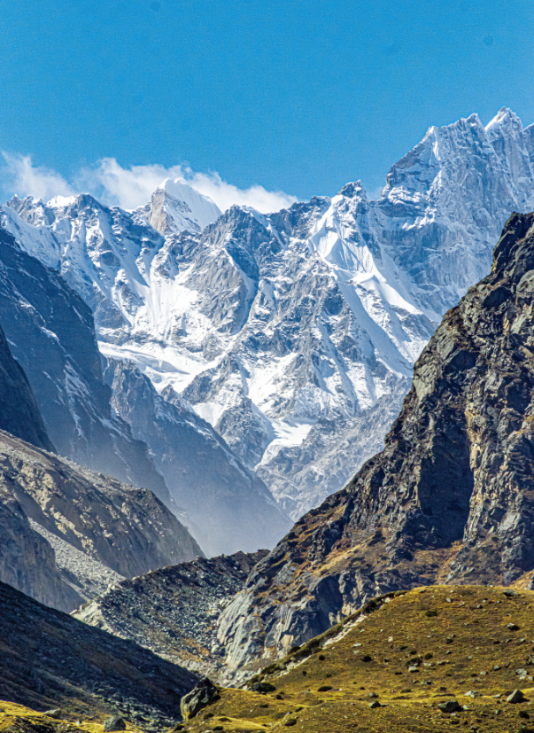
Neelkantha Peak, also known as the “Garhwal Queen,” is a majestic mountain located in the Garhwal region of the Indian…

Chandrashila Peak Chopta trekking 2022, Uttarakhand

Chandrashila Peak

Chandrashila, translating to the ‘Moon Rock,’ crowns the Chandranath Parvat, home to the Tungnath temple of Panch Kedar. This majestic…

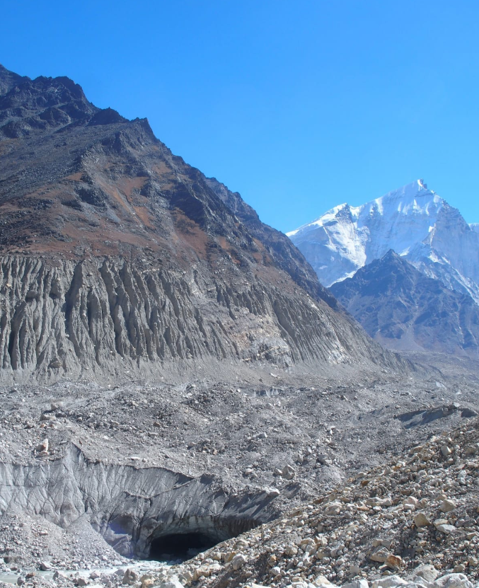
Gaumukh Peak

Gaumukh Peak is located in the Indian state of Uttarakhand, in the Garhwal Himalayas. It’s famous primarily because of its association with the Gangotri Glacier, which is one of the largest glaciers in the Himalayas and is the source of the Bhagirathi River, which eventually becomes the Ganges River. The peak itself is not very high compared to other Himalayan peaks, standing at an elevation of around 6,479 meters (21,250 feet).

Location          Uttarkashi
Parent range          Garhwal Himalayas
Altitude         6,479 meters (21,250 feet)
First ascentIn 1974 by a team of Indian mountaineers led by Hukam Singh.
Best time to visit         May, Jun, Sep, Oct

Mythology About Gaumukh peak

Gaumukh, located in the Indian state of Uttarakhand, holds immense significance in Hindu mythology and spirituality. It’s the terminus of the Gangotri Glacier and is considered the source of the Bhagirathi River, which eventually merges with the Alaknanda River to form the holy Ganges River.
One of the most popular myths associated with Gaumukh is its connection to Lord Shiva, one of the principal deities in Hinduism. According to Hindu mythology, it is believed that the Ganges River originally flowed in heaven and was brought down to earth by Lord Shiva to alleviate the suffering of humanity.
Gaumukh, which translates to “cow’s mouth” in Hindi, derives its name from the shape of the glacier, which resembles a cow’s mouth. It’s said that the Ganges emerges from a cavern shaped like a cow’s mouth at the snout of the glacier. The water that flows from Gaumukh is considered extremely sacred by Hindus, and many pilgrims undertake arduous journeys to reach this spot to bathe in its icy waters and perform religious rites.

Peaks of Uttarakhand
Mana Peak uttarakhand MANA PEAK

Mana Peak

Mana Peak, located in the Uttarakhand region of India, is a majestic mountain nestled in the Himalayas. Standing at 7,274…

Bandarpunch Peak uttarakhand Bandarpunch Peak 22

Bandarpunch Peak

Bandarpunch Peak is a prominent mountain peak in the Garhwal Himalayas of Uttarakhand, India. It stands at an elevation of…

Bhagirathi Peak uttarakhand Bhagirathi peak22

Bhagirathi Peak

Bhagirathi Peak is a prominent mountain peak located in the Garhwal Himalayas of Uttarakhand, India. It is part of a…
Kedarnath Peak uttarakhand kedarnath peak

Kedarnath Peak

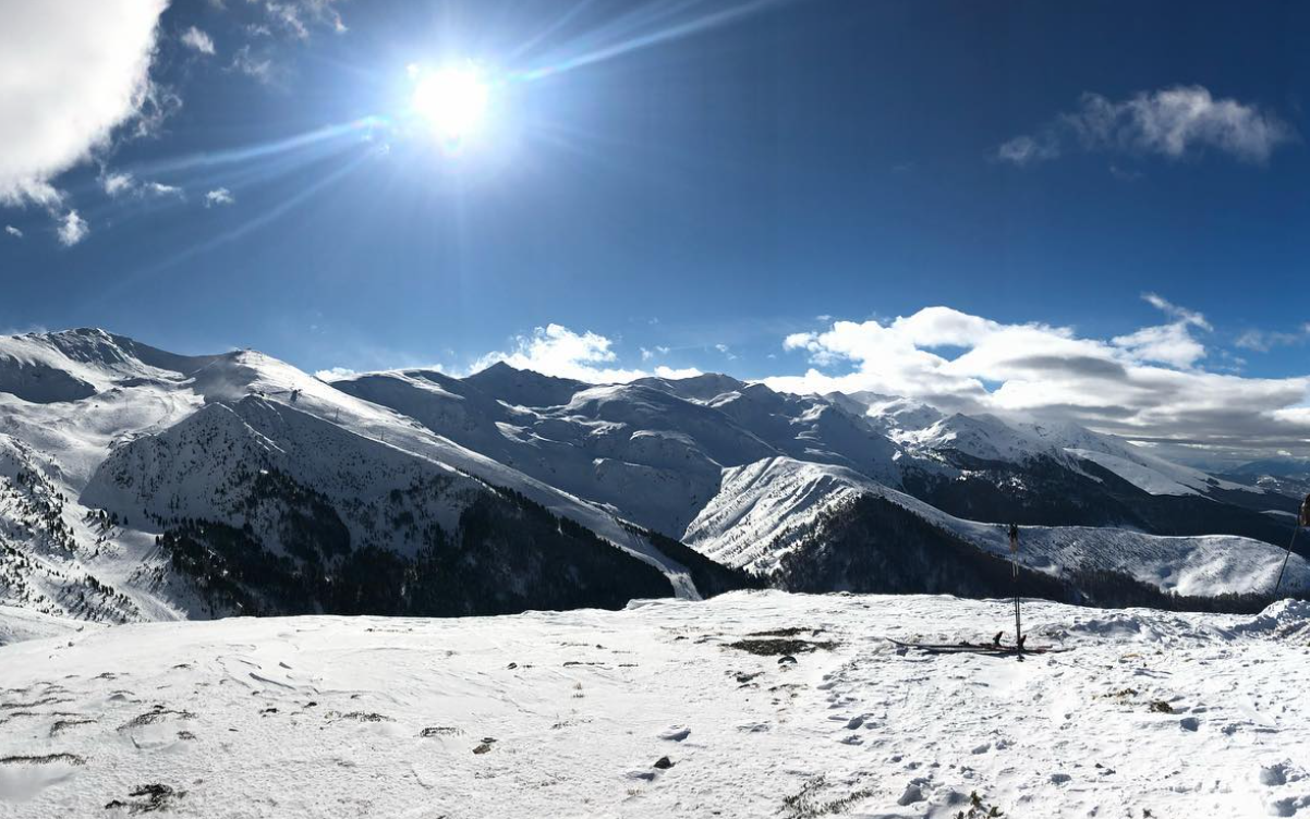
Kedarnath Peak is a majestic mountain located in the Garhwal Himalayas of Uttarakhand, India. It stands at an elevation of…

Neelkantha Peak Neelkantha Peak123

Neelkantha Peak

Neelkantha Peak, also known as the “Garhwal Queen,” is a majestic mountain located in the Garhwal region of the Indian…

Chandrashila Peak Chopta trekking 2022, Uttarakhand

Chandrashila Peak

Chandrashila, translating to the ‘Moon Rock,’ crowns the Chandranath Parvat, home to the Tungnath temple of Panch Kedar. This majestic…

Kedarnath Peak

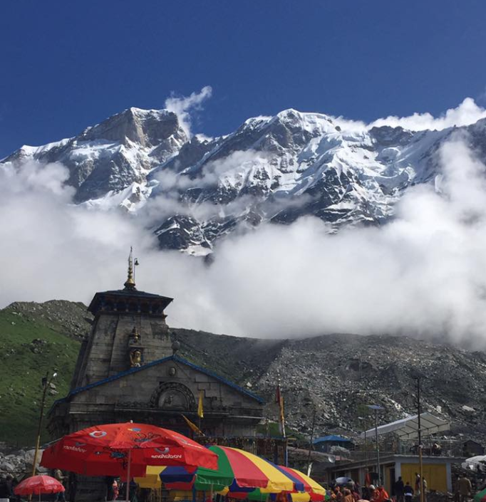
Kedarnath Peak is a majestic mountain located in the Garhwal Himalayas of Uttarakhand, India. It stands at an elevation of 6,940 meters (22,769 feet) above sea level, making it one of the highest peaks in the region. The peak holds significant religious and cultural importance as it is situated near the revered Kedarnath Temple, one of the holiest Hindu pilgrimage sites dedicated to Lord Shiva.

Location            Chamoli
Parent range          Garhwal Himalayas
Altitude         6,940 meters (22,769 feet)
First ascent   In 1947 by a Swiss team led by André Roch
Best time to visit         May, Jun, Sep, Oct

Kedarnath Peak In Garhwal

Kedarnath Peak is indeed located in the Garhwal Himalayas of Uttarakhand, India.As mentioned earlier, it is situated near the sacred Kedarnath Temple, which is dedicated to Lord Shiva and is one of the twelve Jyotirlingas, considered highly sacred in Hinduism.Kedarnath Peak is part of the Gangotri Group of mountains, which includes several other prominent peaks like Thalay Sagar, Meru, and Bhagirathi. It is known for its challenging climbing routes, attracting mountaineers and adventurers from around the world. The first ascent of Kedarnath Peak was made in 1947 by a Swiss team led by André Roch. Since then, various expeditions have been undertaken to conquer its summit.

The region around Kedarnath Peak offers breathtaking views of snow-capped peaks, glaciers, and alpine meadows, making it a popular destination for trekking and mountaineering enthusiasts.

Mythology About Kedarnath Peak

The mythology surrounding Kedarnath Peak is intricately linked to the story of the Pandavas, the central characters of the ancient Indian epic, the Mahabharata. It is believed that after the great Kurukshetra War, the Pandavas sought the blessings of Lord Shiva to absolve themselves of the sins they had committed during the war.

Legend has it that Lord Shiva, unwilling to forgive them immediately, assumed the form of a bull and fled to Kedarnath to evade them. The Pandavas, determined to seek redemption, pursued Lord Shiva, who eventually decided to hide in the form of a bull’s body parts. It is said that the hump of the bull appeared at Kedarnath, while the other parts manifested at different locations, collectively known as the Panch Kedar (five Kedars).

Peaks of Uttarakhand
Mana Peak uttarakhand MANA PEAK

Mana Peak

Mana Peak, located in the Uttarakhand region of India, is a majestic mountain nestled in the Himalayas. Standing at 7,274…

Abi Gami uttarakhand abi gami

Abi Gami

Abi Gami peak, also known as Abi Gamin, is a prominent mountain peak located in the Chamoli district of the…

Nanda Khat nanda khat22

Nanda Khat

“Nanda Kot” is a prominent peak located in the Kumaon region of the Indian state of Uttarakhand. It is part…

Nanda Ghunti uttarakhand nanda ghunti 22

Nanda Ghunti

Nanda Ghunti is a prominent peak located in the Garhwal region of the Indian state of Uttarakhand. It’s part of…

Nanda Devi UTTARAKHAND Nanda Devi22

Nanda Devi

Nanda Devi is a significant mountain peak located in the Indian state of Uttarakhand, part of the Garhwal Himalayas. It’s…

Bhagirathi Peak uttarakhand Bhagirathi peak22

Bhagirathi Peak

Bhagirathi Peak is a prominent mountain peak located in the Garhwal Himalayas of Uttarakhand, India. It is part of a…
Om Parvat

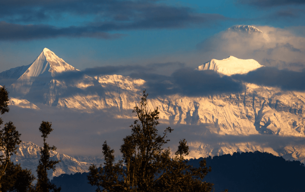
Om Parvat, standing proudly in the Himalayan mountain range at 6191 meters, offers breathtaking views visible from Nabidag. Although unconquered to date, it adds to the majestic scenery. From Nabidang, journeys lead to Little Kailash, Adi Kailash, and Baba Kailash via Kutty village. Alternatively, the route via Lipulekh Pass leads to Kailash Mansarovar in Tibet, placing this spot between Kailash and Adi Kailash. Nestled near the Nepal-Tibet border, it provides magnificent visuals, including glimpses of the towering peaks of Annapurna. Conveniently close to Dharchula, this destination promises awe-inspiring experiences for travelers.

Adi Kailash Package :-  Adi kailash Kathgodam  ::  Adi kailash Dharchula :: Adi kailash Delhi  

Send Enquiry

om parvat uttarakhand
LocationPhithoragarh
Famous ForAdi Kailash/ Om Parvat Yatra 
Altitude 6191 Mts.

Om Parvat and Adi Kailash Yatra 

The journey from Om Parvat to Adi Kailash covers about 26 kilometers. Mount Om can be seen from Nabhidang. To catch a glimpse of Adi Kailash, you can travel from Nabhi Dang to Joulikang through Kutty village. Travelers on the Kailash-Mansarovar Yatra from India can also spot the mountain from the camp under the Lipulekh Pass. Many explorers choose to take the route to Nabhidhang Camp for a closer view of Om Parvat. Join this spiritual journey and enjoy the beautiful landscapes of this sacred Himalayan region.

Near Place to Vist :- 
Kuti Village
Gunji Village 
Kalapani :- The Source of Kali River 
Dharchula 
Adi kailash

Om Parvat and Adi Kailash Yatra  Itinerary 

Day 01 : Dharchula to Gunji/Nabi

  • Morning departure post breakfast.
  • Reach Gunji/Nabhidhang, base for the Adi Kailash Yatra.
  • Overnight stay amidst the Himalayan peaks.
  • After a delightful dinner, rest at the guest house.

Day 02: Drive to Jyolingkong to visit Mount Adi Kailash

  • Depart after breakfast for a scenic drive to Jyolingkong.
  • Explore Mount Adi Kailash, absorbing spiritual vibes.
  • After a delicious dinner, rest at the guest house.

Day 03: Drive to Om Parvat via Kalapani/Dharchula

  • Morning departure after breakfast.
  • Scenic drive to Om Parvat via Kalapani.
  • Experience the spiritual significance.
  • After a delightful dinner, rest at the guest house.
How To Reach Om Parvat

By Road

  • The nearest town to Om Parvat is Dharchula, which is well-connected by road.
  • From Delhi, you can take a bus or hire a taxi to reach Dharchula. The journey usually takes around 20-24 hours depending on the mode of transport and road conditions.
  • From Dharchula, you may need to hire a local guide or arrange for a trek to reach Om Parvat, as it is not directly accessible by road.

By Train

The nearest railway station to Om Parvat is Tanakpur Railway Station (TPU), located in Tanakpur, Uttarakhand. From Tanakpur, you can hire a taxi or take a bus to reach Dharchula, which is about 218 km away and takes around 7-8 hours by road.

By Air

The nearest airport to Om Parvat is Pantnagar Airport (PGH), located in Pantnagar, Uttarakhand. From Pantnagar, you can hire a taxi or take a bus to reach Dharchula. The distance is around 330 km and takes approximately 10-12 hours by road.

More Info :- Best Time to Visit Adi Kailash Yatra 

Contact Us