Yatra Overview
- Region :- Garhwal (Uttarakhand)
- Duration :- 04 Days / 3 Night
- Max Altitude :- 3583 m.
- Approx Trekking :- 16 Km (Per Side)
- Reporting Time & Place :- ISTB Kashmiri Gate Side at 0900 Hr
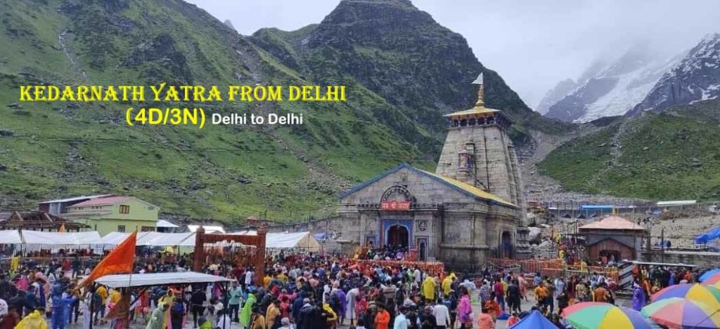
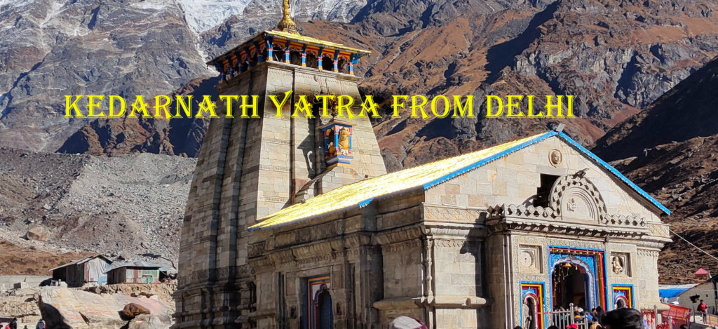
Kedarnath Yatra from Delhi Overview
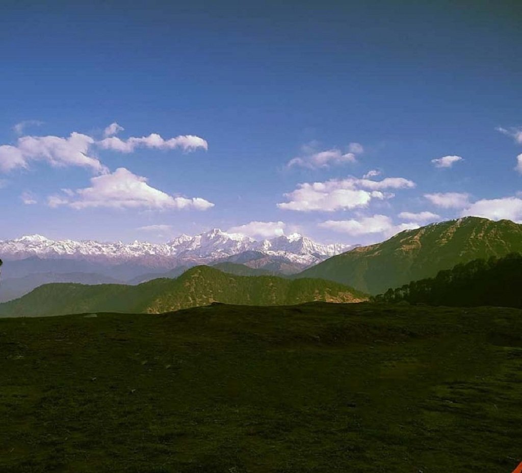
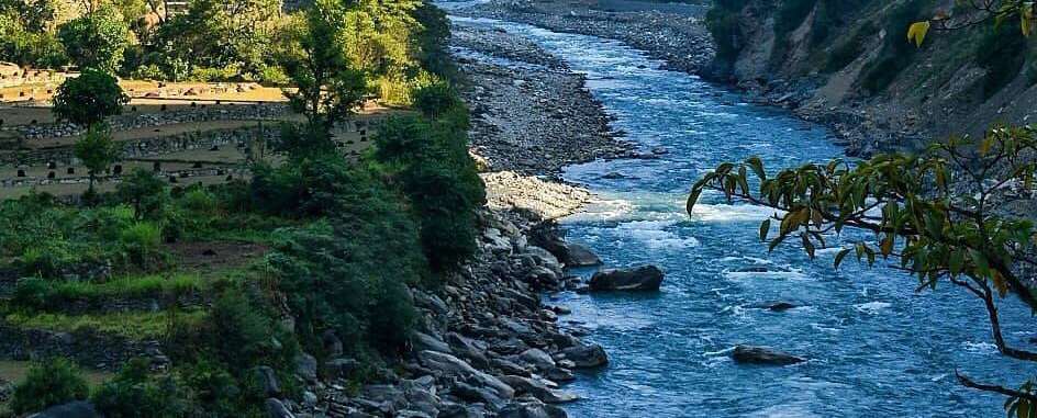
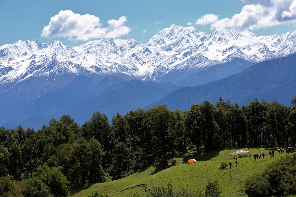
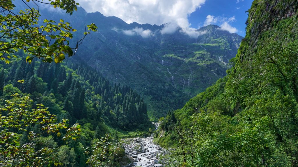
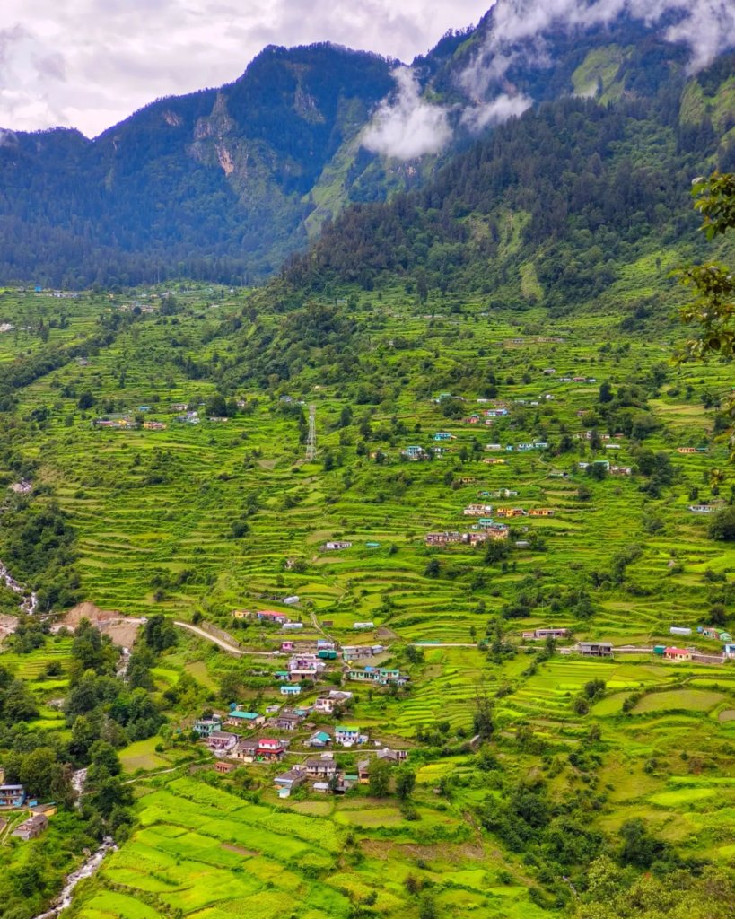
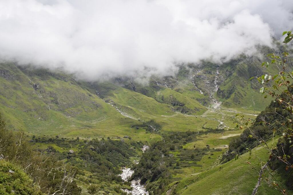
spiritual journey of the Kedarnath Yatra from Delhi, a transformative pilgrimage to the majestic Himalayas. Begin with a road or train trip to Haridwar or Rishikesh, followed by a scenic drive to Gaurikund. From there, ascend to the revered Kedarnath Temple, cradled amidst snow-clad peaks. This spiritual odyssey seamlessly blends devotion with nature’s grandeur, guiding pilgrims through picturesque landscapes and pristine rivers. Upon reaching Kedarnath, the temple’s divine ambiance inspires profound spiritual experiences. The return to Delhi becomes a time for introspection, leaving pilgrims with a deep sense of peace and a profound connection forged in the heart of the awe-inspiring Himalayas.
Kedarnath Yatra from Delhi Highlights
- Spiritual Epicenter:
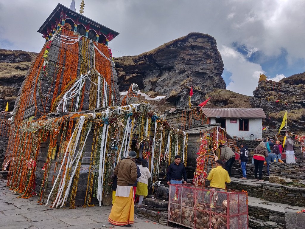
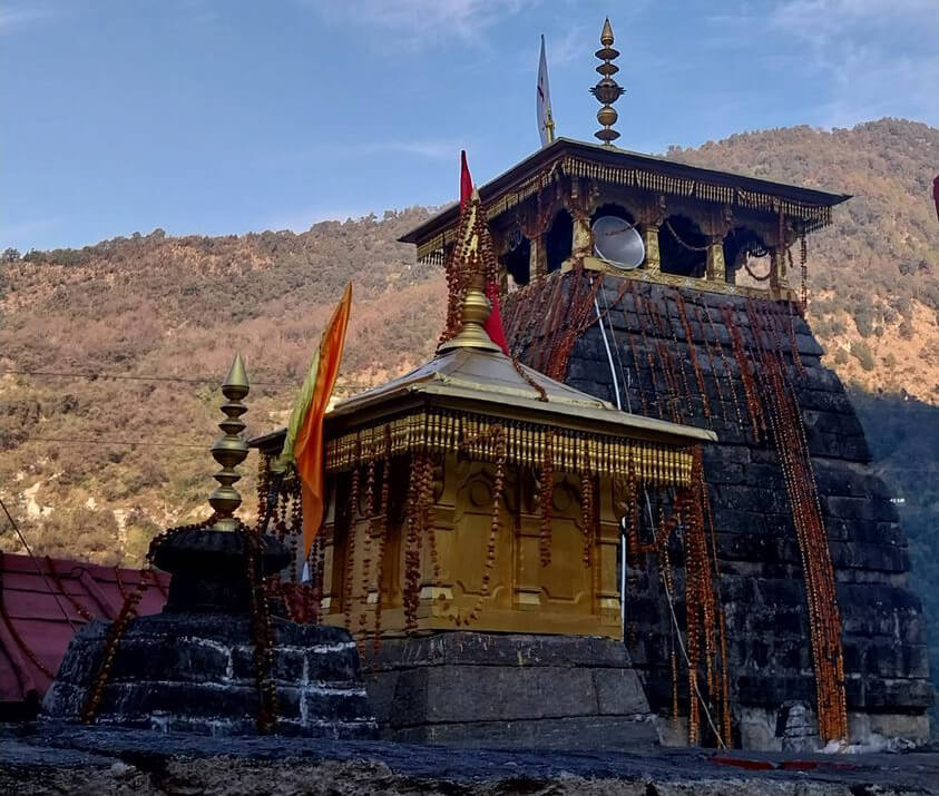
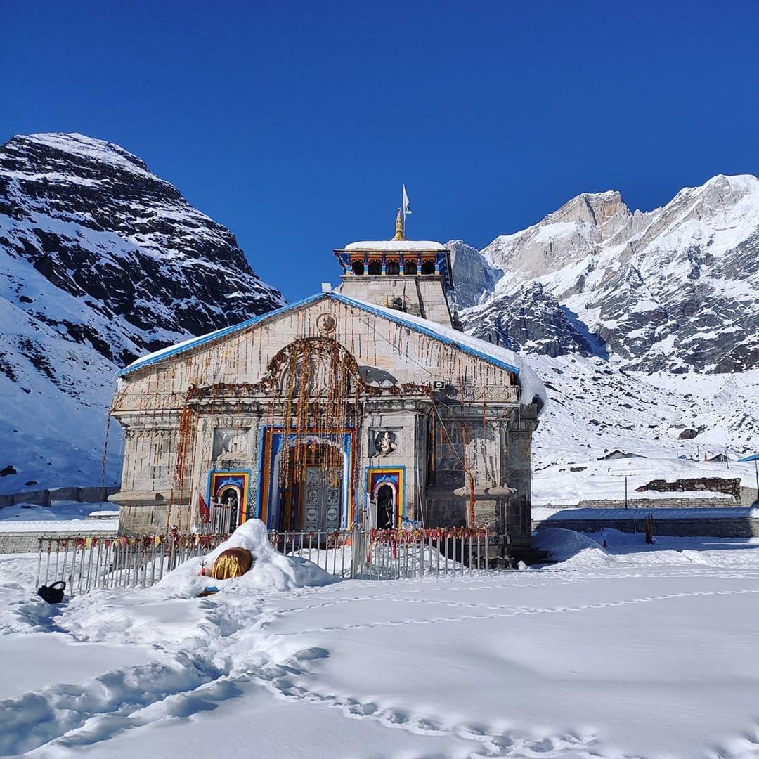
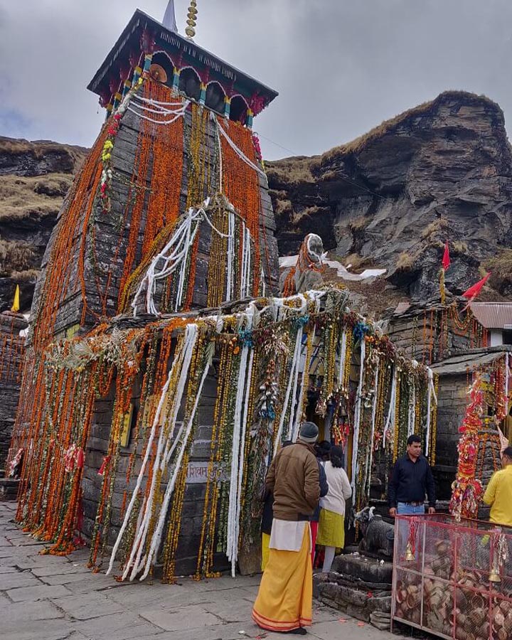
- Kedarnath, a Char Dham shrine, holds deep spiritual significance with its ancient temple dedicated to Lord Shiva.
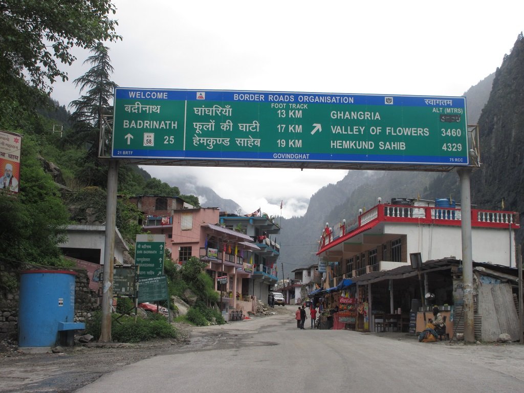
- Scenic Route:
- Breathtaking landscapes unfold through a scenic journey from Haridwar/Rishikesh to Gaurikund.
- Challenging Trek:
- Ascend to Kedarnath with a challenging trek or alternative transport like ponies or palanquins.
- Sacred Rituals:
- Pilgrims engage in sacred rituals at Kedarnath Temple, seeking divine blessings from Lord Shiva.
- Divine Atmosphere:
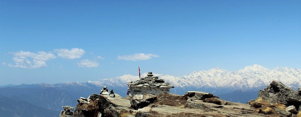
- Kedarnath’s spiritual ambiance, surrounded by snow-clad peaks, enhances the pilgrimage’s serenity.
Kedarnath Yatra from Delhi Itinerary
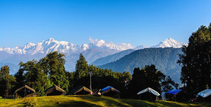
Day 1 : Delhi — Haridwar – Guptkashi
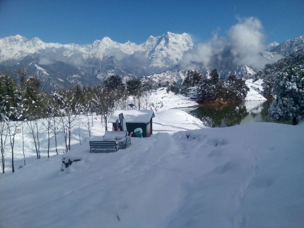
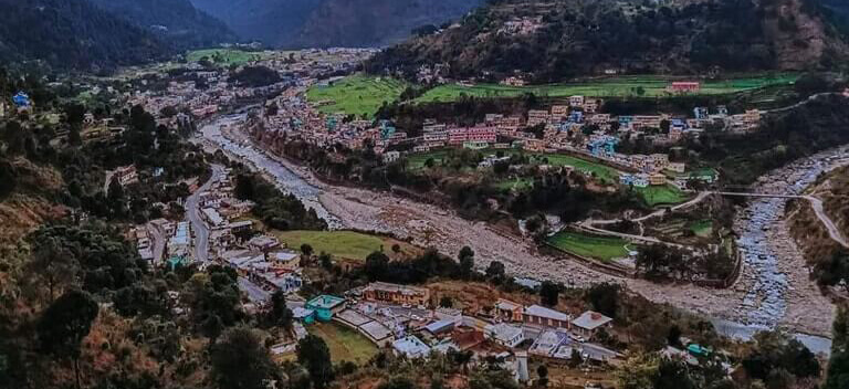
The drive from Delhi to Guptkashi typically takes around 6-7 hours. Upon reaching Guptkashi, check into your accommodation and take some time to rest. Guptkashi, nestled in the Himalayan region, provides a serene backdrop for your pilgrimage. The town is a significant stop en route to Kedarnath and holds its own religious importance.
Day 2 : Guptkashi — Kedarnath Dham
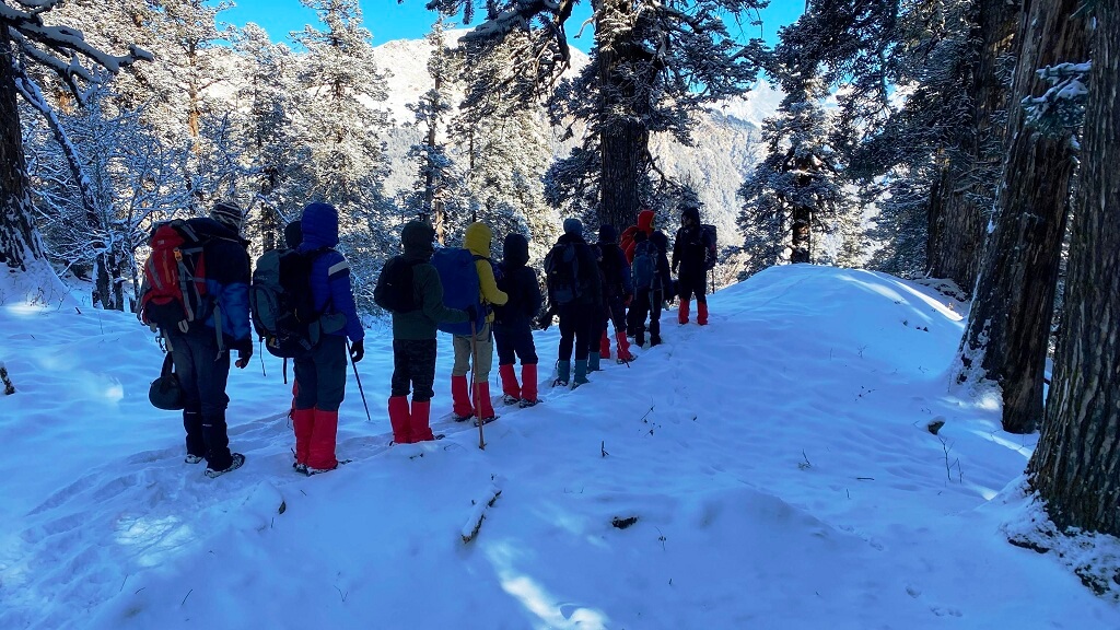
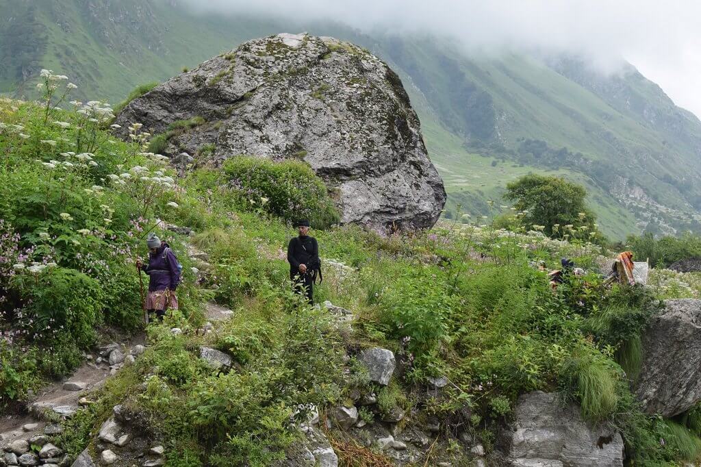
This day is dedicated to the main pilgrimage to Kedarnath.Start early in the morning, as it involves a journey by road and a yatra to Kedarnath.Drive to Sonprayag, which is the base point for the trek to Kedarnath.From Sonprayag, either trek for around 16 km or hire a pony/doli (palanquin) to reach Kedarnath.Visit the sacred Kedarnath Temple and seek blessings.
.Overnight stay in Shri Kedarnath Dham
Day 3 : Kedarnath Dham Guptkashi
Morning after Pooja & breakfast, you can check out of Kedarnath hotel start your journey back to Sonprayag. Our driver will be there at designated place which was discussed with you. Drive back to Guptkashi hotel for night stay.
Day 4 : Guptkashi — Delhi Via Rishikesh
After breakfast, check out from the hotel in Guptkashi.Drive back to Dehli, which takes around 10-11 hours.
| Inclusions | Exclusions |
| – Transport from Delhi to Delhi – Accommodation in hotels/GMVN guesthouse/home stay as per the package, – Pure Vegetarian food during the trip (as per the meals mentioned) – Meal Breakfast & Dinner at hotel | – Any medical expense in the event of bad health, – Any insurance for traveler, his belongings, or any item/service of the trip, – Any other item which is not specifically mentioned in the list of inclusions above. |
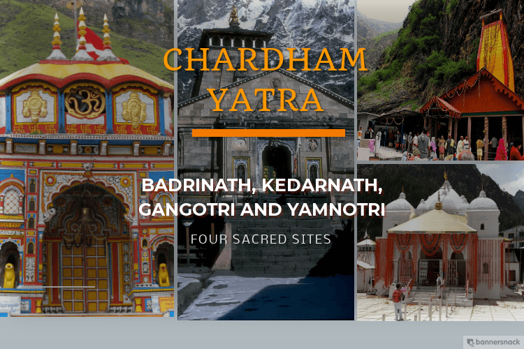
More Package :- Char Dham Yatra :: Panch Kedar Yatra :: Do Dham Yatra :: Kedarnath Yatra