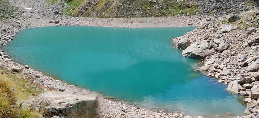
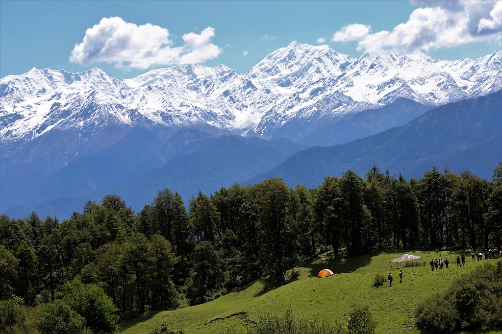
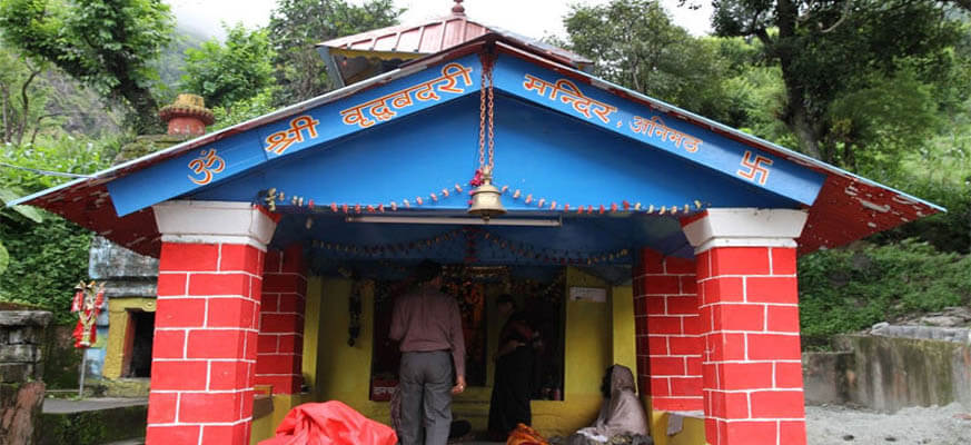
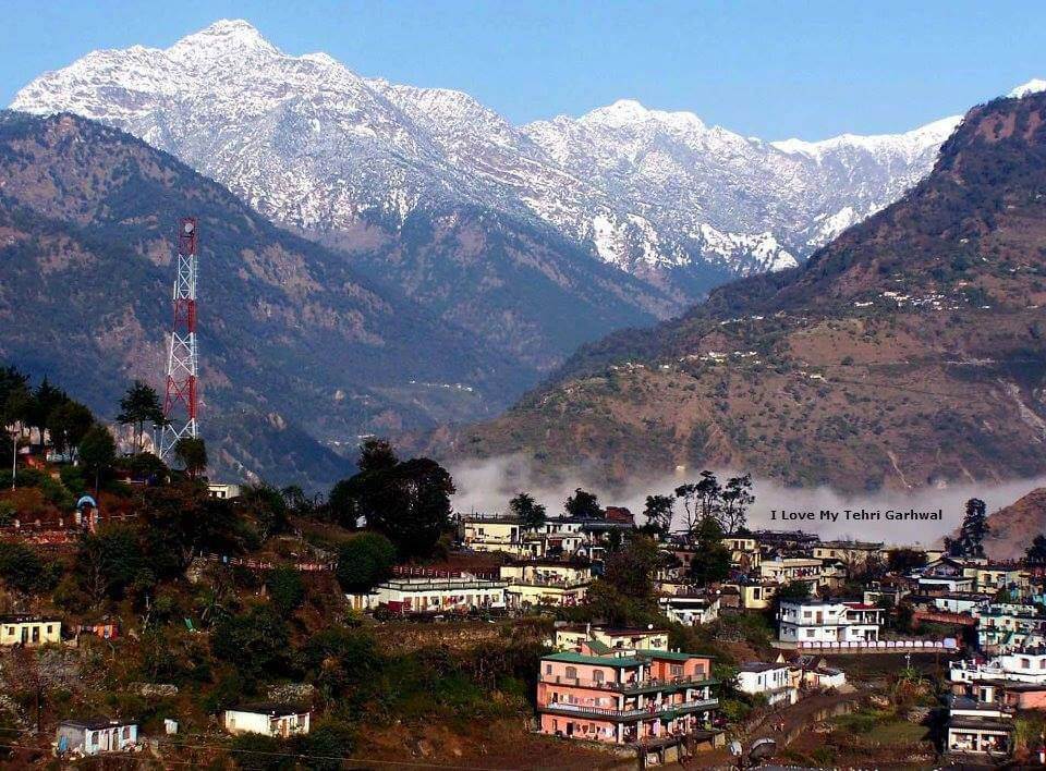
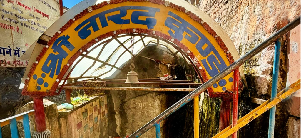
Narad Kund is a sacred thermal spring situated near Badrinath in Uttarakhand, believed to be the place where the sage Narada meditated. It’s famous for its hot water springs that are revered for their healing properties. Pilgrims often take a dip in these hot springs before visiting the Badrinath Temple, as it’s considered purifying.
| Location | Chamoli |
| Famous For | Char Dham yatra, Temple |
| Altitude | 3,300 meters |
| Badrinath Temple | 0.5 km From Badrinat Temple |
| Best time to visit | May, Jun, Sep, Oct, Nov |
Attraction in Narad Kund
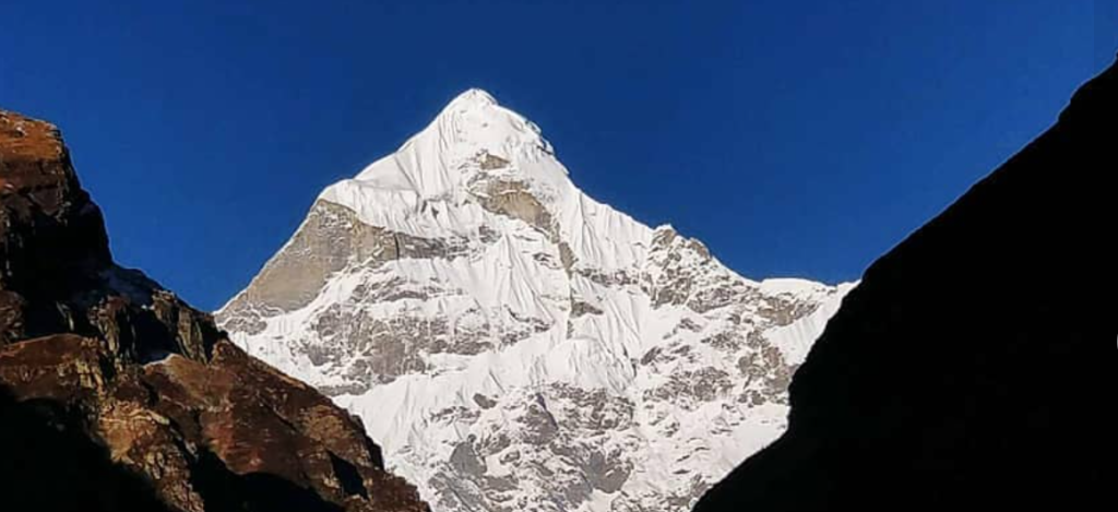
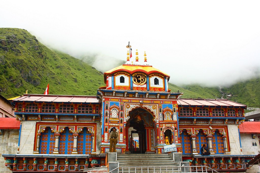
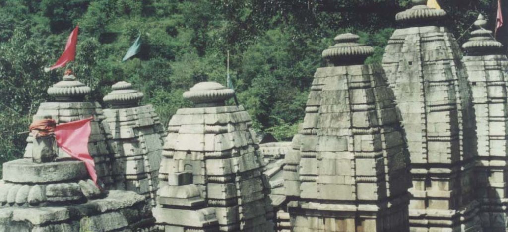
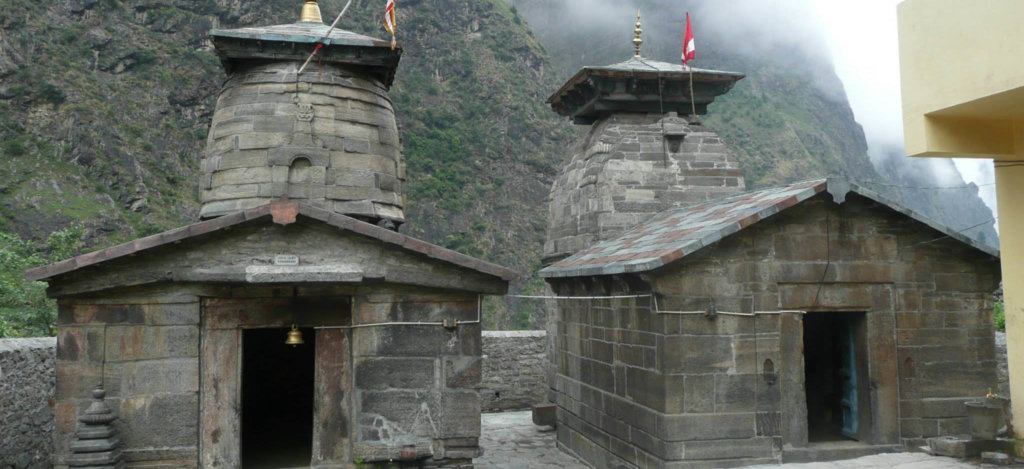
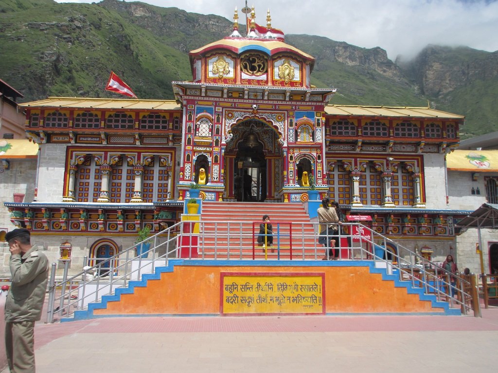
- Badrinath Temple: The main attraction is the Badrinath Temple itself, a sacred pilgrimage site dedicated to Lord Vishnu. The temple is known for its distinct architecture and religious significance.
- Tapt Kund: A natural thermal spring located just below the temple. Pilgrims believe that taking a dip in the Tapt Kund is purifying before entering the temple.
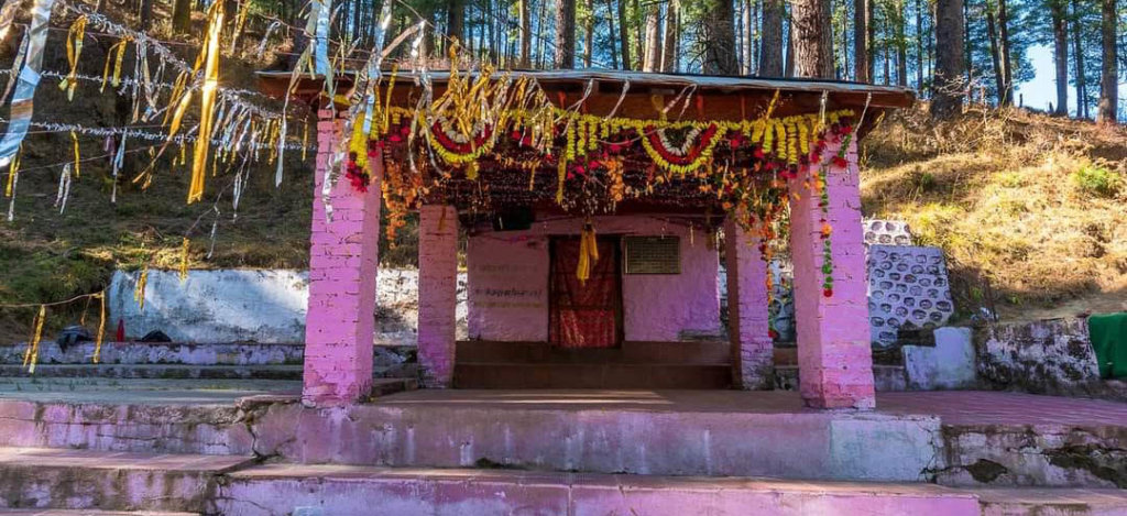
- Brahma Kapal: A flat platform on the bank of the Alaknanda River, where rituals for the departed souls are performed. It is believed that performing these rituals at Brahma Kapal brings peace to the departed souls.
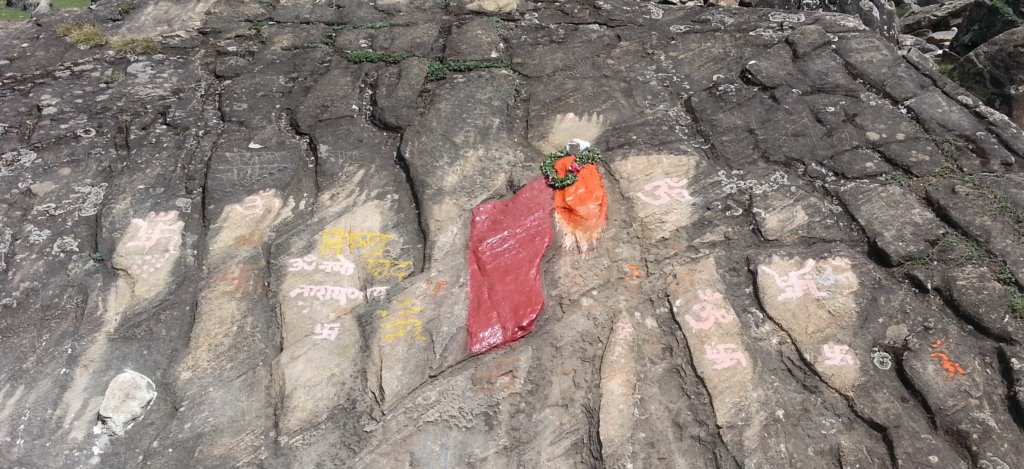
- Charanpaduka: This rock is believed to bear the footprints of Lord Vishnu and is an important pilgrimage spot.
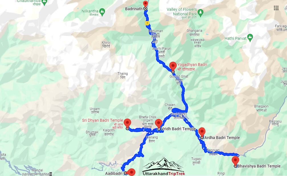
- Mana Village: Known as the last village before the Indo-China border, Mana is a picturesque village with its unique culture and traditions. It is located near Badrinath and is worth a visit.
- Vyas Gufa (Cave): It is believed to be the cave where Ved Vyas, the sage who is credited with composing the Mahabharata, lived and meditated.
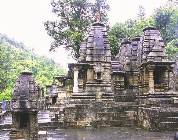
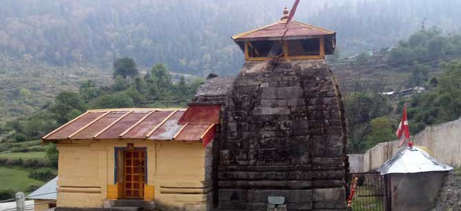
- Mata Murti Temple: Dedicated to the mother of Lord Badrinath, Mata Murti Temple is an important shrine in the vicinity.
How To Reach Narad Kund
By Road
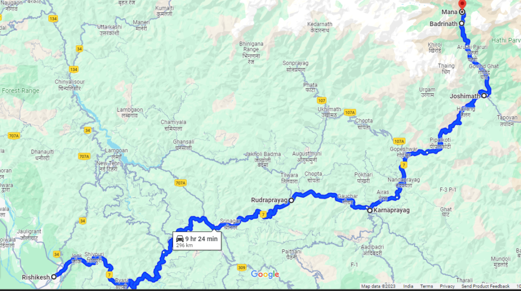
- Narad Kund is situated in the Chamoli district of Uttarakhand. One of the primary ways to reach Narad Kund by road is through Rishikesh or Haridwar.
- From Delhi:- you can take a bus or hire a taxi to Rishikesh or Haridwar, which are major transportation hubs in Uttarakhand.
- From Rishikesh or Haridwar:-you can further proceed towards Joshimath, which is the nearest town to Narad Kund. It’s approximately a 9 to 10 hours drive from Rishikesh or Haridwar to Joshimath.
- After reaching Joshimath, you can hire a local taxi or use public transportation to reach Narad Kund. The road journey from Joshimath to Narad Kund is approximately 20 kilometers and takes around 1 hour.
By Train
The nearest railway station to Narad Kund is Rishikesh Railway Station. From Rishikesh Railway Station, you can either hire a taxi or take a bus to reach Narad Kund via the road route mentioned above.
By Air
The nearest airport to Narad Kund is Jolly Grant Airport in Dehradun, Uttarakhand. From Dehradun, you can hire a taxi or take a bus to Rishikesh or Haridwar and then follow the road route mentioned above to reach Narad Kund.
Read :- How To Reach Badrinath Dham