Gairsain

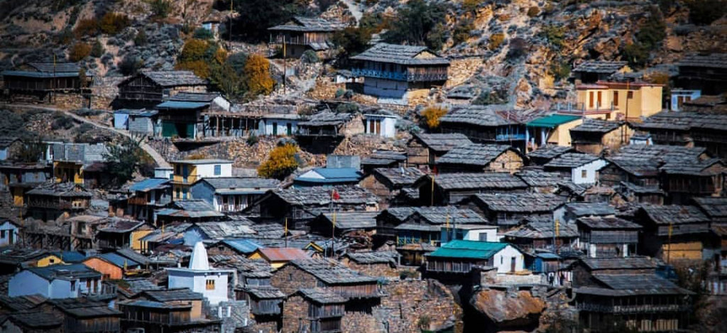
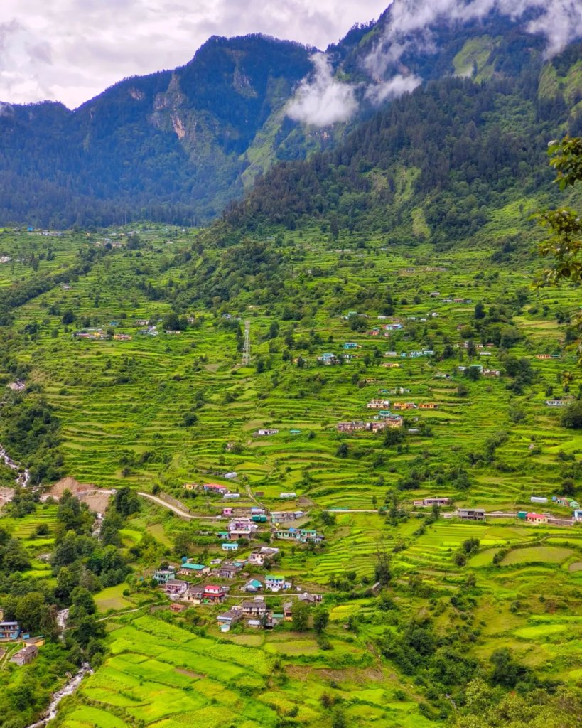
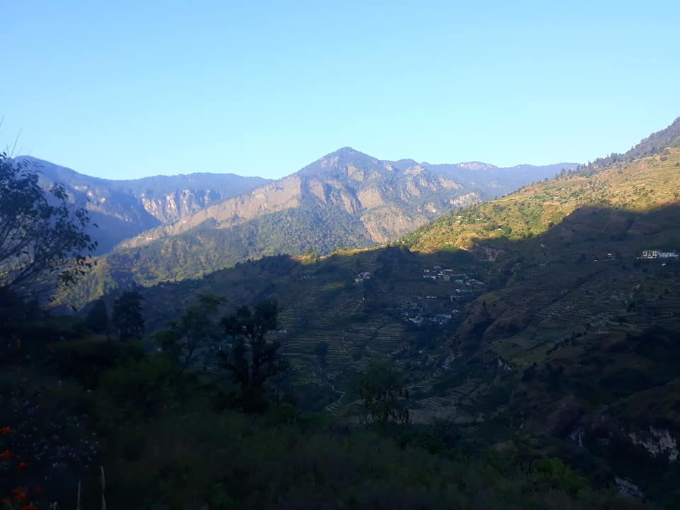
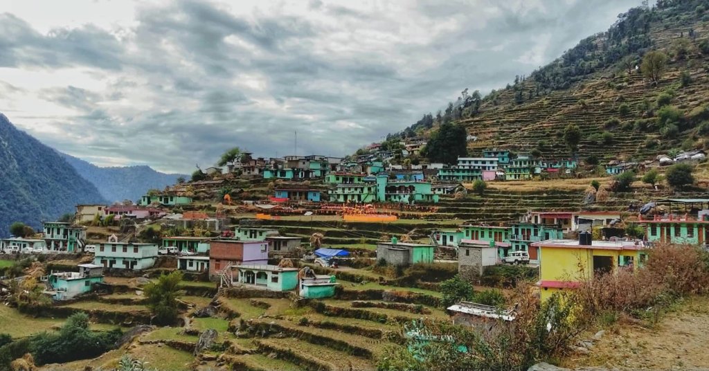
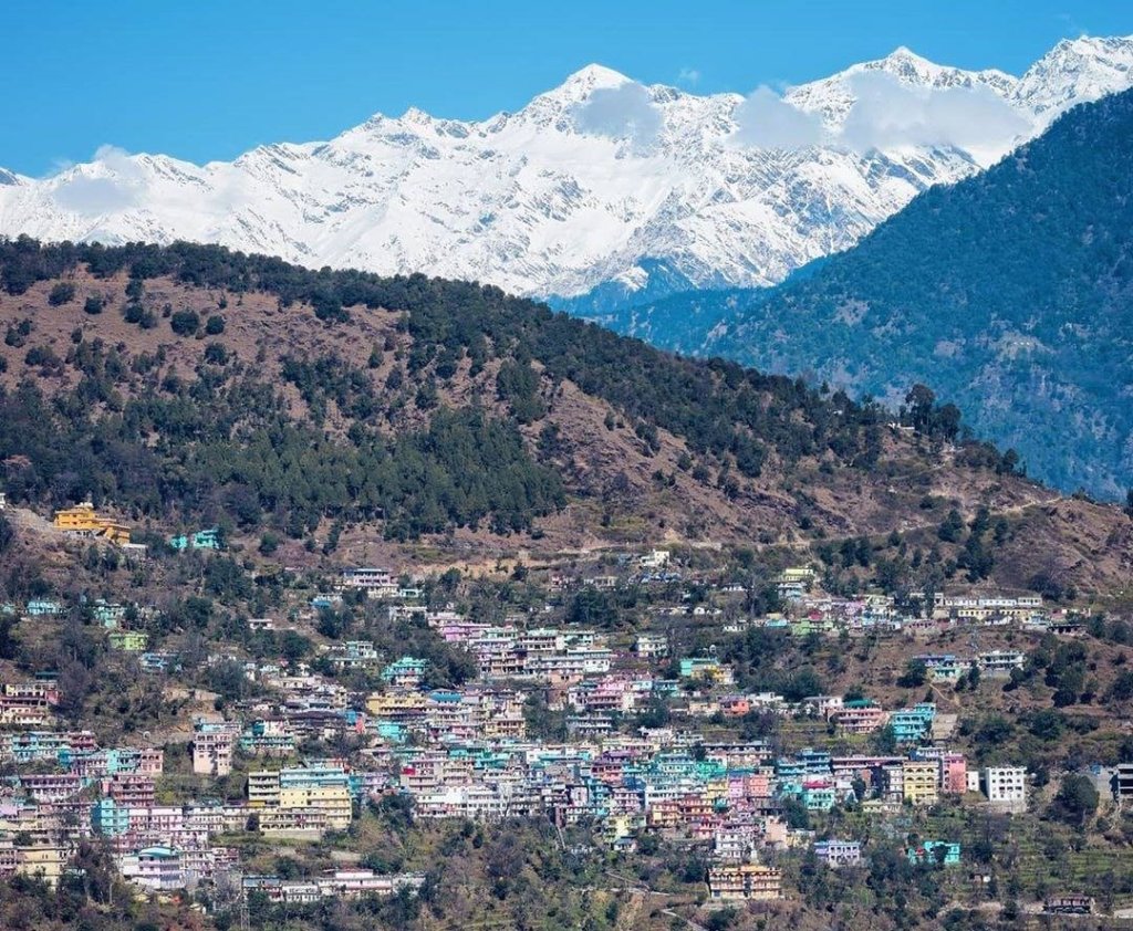
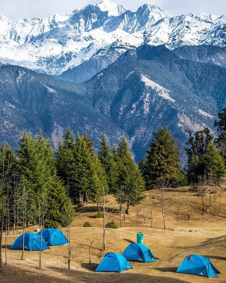
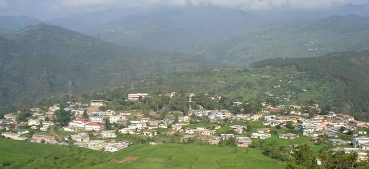
Gairsain is a town located in the Chamoli district of Uttarakhand, India. It holds significance as it’s  the summer capital of the state. Gairsain is situated in the Chamoli district, nestled amidst the Himalayan ranges.

Gairsain, Uttarakhand
Gairsain
LocationChamoli
Famous ForSummer Capital of uttarakhand
Altitude 1650 mts
Nearest Railway Station or AirportKathgodam 173km/ 200 Km  From Airport
Best time to visit Round the Year

Gairsain Name

The name “Gairsain” is created by combining two words from the Garhwali language: ‘gair,’ which means at some depth, and ‘sain,’ meaning plains. While this combination may seem incorrect in Garhwali, in Kumaoni, it forms a proper term referring to ‘deep plains.’

Gairsain :-  Future Capital of Uttarakhand

Gairsain, strategically located in the heart of Uttarakhand, is pivotal for Garhwal and Kumaon. Boasting ample space for capital construction and tourism growth, it sits on a crucial route connecting the regions. Despite controversies, Gairsain is proposed as Uttarakhand’s future summer capital, offering proximity to both regions and an elevated hill setting.

Near place to visit Gairsain

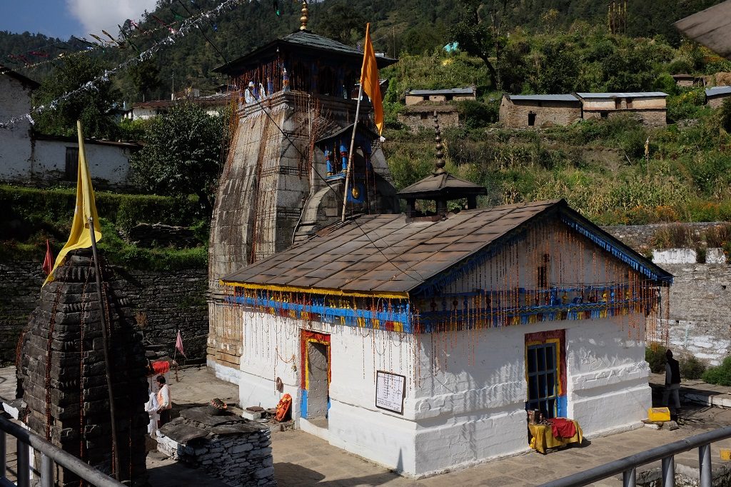
  1. Karnaprayag: Located at the confluence of the Alaknanda and Pindar rivers, Karnaprayag is known for its scenic beauty and the Karna Temple dedicated to Karna from the Mahabharata.
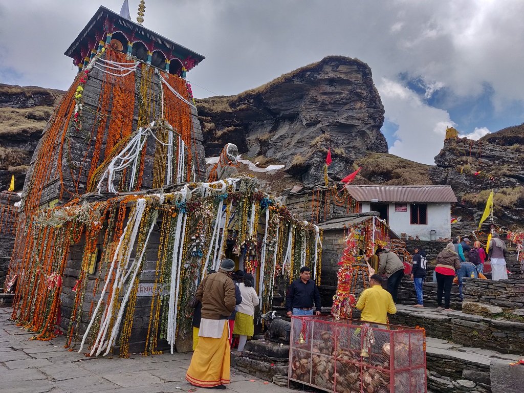
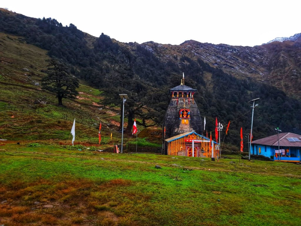
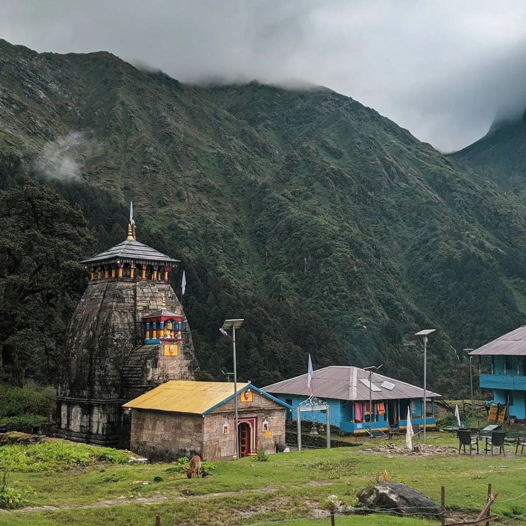
  2. Rudraprayag: Another significant confluence town, Rudraprayag is where the Alaknanda and Mandakini rivers meet. The town is known for its spiritual significance and the Rudranath Temple.
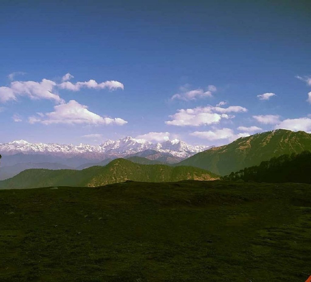
  3. Kausani: A hill station known for its panoramic views of the Himalayas, Kausani offers a tranquil escape with its tea gardens and serene atmosphere.
  4. Ranikhet
  5. Known for its pleasant climate and beautiful landscapes, Ranikhet is a charming hill station with attractions like the Jhula Devi Temple and Chaubatia Gardens.

How To Reach

It is a town located in the Chamoli district of Uttarakhand, India. Here are some common ways to reach there

From Rishikesh/Haridwar:
It is accessible by road from Rishikesh or Haridwar. You can hire a taxi or use public buses that ply on the route.
The journey from Rishikesh to there takes approximately 8-10 hours by road.

The nearest airport is Jolly Grant Airport in Dehradun.
From the airport, you can hire a taxi or use public transportation to reach Gairsain.

The nearest railway station is Kathgodam Railway Station.
From Kathgodam, you can hire a taxi or take a bus to reach Gairsain.

Niti Valley

Niti Valley is a stunningly beautiful region located in the Indian state of Uttarakhand, nestled in the Himalayas. It’s known for its breathtaking landscapes, picturesque villages, and rich cultural heritage. The valley is named after the ‘Niti River’ that flows through it.

LocationChamoli 
Famous ForBorder Village 
Altitude 3600 mts
Joshimath 84.4 Km  Joshimath 
Nearest Railway Station or    AirportRishikesh, 346kms/ Jolly Grant Airport, 362 kms
Best time to visit Apr, May, Sep, Oct, 

Accommodation in Niti Valley

In the past, there were no hotels for tourists in this valley, and not many people explored it. You used to need permission to visit, and only locals could stay. Now, you don’t need permission except for the last village, “Niti.” There’s a new government guest house in Gamshali. Stay in Joshimath and plan your trip from there

How To Reach Niti village 

Delhi to Haridwar/Rishikesh: Start your journey from Delhi and travel to Haridwar or Rishikesh by road.
From Haridwar or Rishikesh, take a bus or hire a taxi to reach Joshimath.
The roads might be steep and winding, especially during the winter months.

Badrinath to Niti Village: Niti village is further ahead from Badrinath. You might need to arrange local transport or hire a guide to take you through the rough terrains towards Niti village.

The nearest Railways station is Rishikesh. From there, you can hire a cab or take a bus to reach Joshimath or Badrinath.

The nearest airport to Niti village is Jolly Grant Airport in Dehradun. From there, you can hire a cab or take a bus to reach Joshimath or Badrinath.

Click Here How to Reach Joshimath or Badrinath 

Malari Village

Malari is a tiny village in the Chamoli region of India, close to the border with Tibet. Situated at an elevation of 3048 metres in the Dhauli Ganga valley, Malari  is surrounded by rugged mountains covered in snow. Inhabitants of  village moves to the lower part of Himalayas during winters due to heavy snowfall. The route from Malari leads to the nearby China/Tibet border at Niti Village and Niti Pass.

LocationChamoli 
Famous ForVillage Tourism, Border Tourism 
Altitude 3048 Meters
 Joshimath 60 Km Joshimath 
Nearest Railway Station or    AirportRishikesh, 300kms/ Jolly Grant Airport, 320 kms
Best time to visit Apr, May, Jun, Sep, 

How To Reach Malari Village

Dehradun/Rishikesh to Joshimath:
Start your journey by reaching Joshimath, a major town in Uttarakhand.
You can travel to Joshimath by road from Dehradun or Rishikesh.
Joshimath to Badrinath:
From Joshimath, continue towards Badrinath, which is the last motorable point.
it is about 55 kilometers from Badrinath.

The nearest airport to Malari Village is Jolly Grant Airport in Dehradun. From there, you’ll have to travel by road to reach Malari.

The nearest major railway station is Rishikesh Railway Station. Again, from there, you’ll need to continue your journey by road via bus or taxi.
The road journey to Malari involves taking a route through Joshimath. 

Read More :- How to Reach Joshimath 

Dhyan Badri

Dhyan Badri temple is situated on the banks of the Alaknanda river in the Urgam valley, close to Kalpeshwar. The four-armed, black stone idol of Lord Vishnu is placed in a meditative pose within the temple. The temple has an image of Lord Vishnu which was founded by Urvarishi. Furthermore, the shrine is occasionally mentioned in the Panch-Badri list. The chief priests of the temple are also Brahmins from southern India.

Read More :- Badrinath Temple ::  Vriddha Badri :: Adi Badri   :: Yogadhyan Badri ::  Ardh Badri 

LocationJoshimath 
Famous ForBhavishya Badri Temple, Vasudhara Falls,
Altitude 3200 mts
Badrinath Temple12 Km Badrinath Temple
Nearest Railway Station or    AirportRishikesh, 300kms/ Jolly Grant Airport, 320 kms
Best time to visit May, Jun, Sep, Oct, Nov

Historical Significance

The Dhyan Badri Temple carries a profound historical legacy dating back to the era of the Mahabharata, a monumental Indian epic. According to legend, after the culmination of the great war, the Pandavas undertook a pilgrimage to atone for their sins committed during the conflict. Each of the Pandavas, namely Yudhishthira, Bhima, Arjuna, Nakula, and Sahadeva, enshrined five different forms of Lord Vishnu in five distinct locations. These sacred sites came to be known as the Panch Badri temples. Dhyan Badri is specifically recognized as the place where Bhima engaged in meditation, seeking forgiveness for his transgressions.each Dhyan Badri  You can continue travelling by road to Joshimath or Pandukeshwar from Rishikesh by bus or taxi.From Joshimath or Pandukeshwar, the remaining distance to Dhyan Badri needs to be covered on foot. It’s a trekking route of about 3-4 kilometers from Pandukeshwar to Dhyan Badri. Pandukeshwar is around 12 kilometers from Badrinath. Once you’ve reached Pandukeshwar, you’ll need to trek to Dhyan Badri. The trek is moderate and takes around 1-2 hours, covering a distance of approximately 3-4 kilometers. The route is scenic, passing through picturesque landscapes and offering beautiful views of the Himalayas.

How To Reach Dhyan Badri

By Road

  • Dhyan Badri is situated in the Chamoli district of Uttarakhand. You can reach Chamoli by road from major cities like Delhi, Dehradun, and Haridwar.
  • From Delhi, you can take the NH9 route via Haridwar, Rishikesh, Devprayag, Rudraprayag, and Karanprayag to reach Chamoli.
  • From Dehradun, you can take the NH7 route via Rishikesh, Devprayag, and Rudraprayag to reach Chamoli.
  • From Chamoli, you can hire a local taxi or take a bus to reach Dhyan Badri. The pilgrimage site is around 24 kilometers from Chamoli.

By Train

  • The nearest railway station to Dhyan Badri is Rishikesh railway station, which is around 201 kilometers away.
  • Rishikesh railway station is well-connected to major cities like Delhi, Mumbai, and Kolkata.
  • From Rishikesh, you can hire a taxi or take a bus to reach Chamoli and then proceed to Dhyan Badri.

By Air

The nearest airport to Dhyan Badri is the Jolly Grant Airport in Dehradun, From Dehradun, you can either hire a taxi or take a bus to reach Chamoli and then proceed to Dhyan Badri as mentioned above.

Read How to Reach Badrinath Dham :: Sapt Badri Route Map 

Mana Village

Mana is the First inhabited village on the Indian side of the Indo-Tibetan border, located in the Chamoli district of Uttarakhand, India. It’s famous for being the last accessible village before the Mana Pass, which leads into Tibet. The village holds cultural and mythological significance as it’s believed to be the place where the Pandavas from the Indian epic Mahabharata ascended to heaven. It’s also known for its proximity to the Badrinath Temple, one of the Char Dham pilgrimage sites in Hinduism.

Mana village
Mana village, uttarakhand

Char Dham Yatra          Do Dham Yatra          Adi Kailash Yatra 

LocationChamoli
Famous ForSaraswati River, Last Indian village before the Indo-Tibetan border, Badrinath Temple
Altitude 3,200 meters
Badrinath Temple3  Km From Badrinat
Best time to visitMay, Jun, Sep, Oct, Nov

Anushuya Devi Temple       Tungnath Temple         Rudranath Temple

Mana Village

it is a picturesque and culturally rich village situated near the town of Badrinath in the Chamoli district of Uttarakhand, India. It is not only a tourist spot but also a place that holds religious and historical significance in Hindu mythology. It remains a serene location, attracting pilgrims, trekkers, and nature enthusiasts alike. Badrinath Temple, While not in itself, it’s nearby and holds immense religious significance as one of the Char Dham pilgrimage sites for Hindus.

Mythology About Mana

it is a quaint town, carries echoes of Hindu mythology, particularly the Mahabharata. Legend has it that the Pandavas traversed through Mana on their celestial journey to heaven. Notably, Bheem, one of the Pandava brothers, is credited with creating the iconic ‘Bheem Pool’—a substantial rock structure serving as a bridge over the sacred River Saraswati. Witness the tangible connections to ancient mythology as you explore the mystical town.

Attractions in Mana

  • Vyasa Cave:   Vyasa Cave is believed to be the place where the sage Ved Vyasa, the author of the Mahabharata, composed the epic scripture. It is said that he dictated the verses of the Mahabharata to Lord Ganesha, who acted as his scribe. 
  • Bhim Pul: One of the prominent attractions in there is the Bhim Pul, a natural stone bridge over the Saraswati River. According to folklore, Bhima, one of the Pandava brothers, placed this massive stone bridge to help Draupadi, the wife of the Pandavas, cross the river.
  • Saraswati Udgam: The origin point of the sacred Saraswati River, believed to be a subterranean flow emerging from a stone slab. Pilgrims consider it auspicious to take a dip in the holy waters here.
  • Keshav Prayag: The confluence of River Saraswati and River Alaknanda, where the two rivers merge to form the river Ganges. It holds religious significance for Hindu devotees.
  • Badrinath Temple: While technically located in Badrinath, this revered temple is just a short distance from There. Devotees visit this sacred shrine dedicated to Lord Badrinath.

Treks from Mana Village 

Trekking to Mana  in India is an incredible experience, offering breathtaking views and a chance to immerse yourself in the stunning Himalayan landscape.

  • Mana to Vasudhara: This trek is renowned for the majestic Vasudhara Falls.The trek starts from Mana and leads you through picturesque trails, offering mesmerizing views of the surrounding mountains.
  • Mana to Satopanth: The trek from Mana to Satopanth Lake is a challenging yet spiritually rewarding journey. Satopanth Lake is considered sacred by Hindus, and the trek involves traversing rugged terrain and high-altitude paths.
How To Reach Mana Village

By Road

  • Mana Village is accessible by road from various nearby towns like Badrinath, which is approximately 24 kilometers away.
  • You can reach Badrinath by road from major cities like Dehradun, Rishikesh, Haridwar, and Delhi.
  • From Badrinath, you can hire a local taxi or take a shared jeep to reach Mana Village. The road to Mana Village is scenic but can be challenging due to its mountainous terrain.

By Train

The nearest major railway station to Mana Village is in Rishikesh. From Rishikesh, you can take a bus or hire a taxi to reach Badrinath. Once in Badrinath, follow the road route mentioned above to reach Mana Village.

By Air

The nearest airport to Mana Village is the Jolly Grant Airport in Dehradun. From Dehradun, you can either hire a taxi or take a bus to reach Badrinath. After reaching Badrinath, follow the road route mentioned above to reach Mana Village.

More Info :- Click here how to Reach Mana Village

Urgam Village

Nestled in the charming Urgam Valley near Joshimath in Uttarakhand’s Chamoli district, Urgam Village is a serene destination perched at an altitude of approximately 2100 meters. Encircled by snow-capped peaks of the Garhwal Himalayas and embraced by lush forests, farmlands, and apple orchards, Urgam Village creates a tranquil retreat far from the hustle of modern life.

Renowned for the ancient Shiva temple, Kalpeshwar Temple, one of the esteemed Panch Kedars, Urgam Village is a gateway to spiritual and natural wonders. Just 2 km beyond Urgam Village lies Kalpeshwar Dham, inviting pilgrims to immerse themselves in the sacred ambiance of this revered site. Explore the simplicity and beauty of Urgam Village, a haven that transports you to a world of its own.

LocationChamoli
Famous ForPanch Kedar, Trekking , Home Stay 
Altitude 2100 mts
Starting Point of KalpeshwarUrgam  (3.5 km Away from Here)
Nearest Railway Station or    AirportRishikesh, 250kms/ Jolly Grant Airport, 270 kms
Best time to visit UkhimathMay, Jun, Jul, Aug, Sep, Oct, Nov

Places to Explore in Urgam Valley

  1. Kalpeshwar Mahadev Temple (3.5 km):
    • A sacred Panch Kedar, easily accessible by a short drive. Immerse yourself in the spiritual ambiance of this ancient Shiva temple.
  2. Dhyan Badri Temple (in Barghinda village):
    • A part of the revered Panch and Sapt Badri temples, located in Barghinda village. Explore the divine tranquility of this spiritual site.
  3. Fyula Narayan Temple Trek (4 km from Kalpeshwar Mahadev Temple):
    • Embark on a year-round open trek to Fyula Narayan Temple, a journey filled with natural beauty and serenity.
  4. Banga Pani Trek (1.5 km):
    • An accessible year-round trek spanning 1.5 km. Enjoy the scenic landscapes and the refreshing atmosphere of Banga Pani.
  5. Kemkud Meadow Trek (6 km):
    • Venture on a 6 km trek to Kemkud Meadow, often referred to as the queen of all meadows. Experience the pristine beauty of this enchanting destination.
  6. Bansi Narayan Temple Trek (10 km):
    • Trek 10 km to Bansi Narayan Temple, the only Lord Krishna temple in Uttarakhand. Discover the cultural richness of this unique religious site.
  7. Rudranath Trek (35 km from Urgam Valley):
    • Embark on the famous 35 km trek to Rudranath, another significant Panch Kedar temple. Witness breathtaking landscapes and spiritual sanctity along the way.
  8. Nandi Kund Trek (22 km):
    • Join the villagers on a 22 km trek to Nandi Kund, where they collect Brahma Kamal, an offering to Lord Shiva. Experience the cultural traditions and natural wonders of this pilgrimage.
How To Reach Urgam Village

By Road

From Delhi (or any other major city):

  • You can drive or hire a taxi to reach Rishikesh or Haridwar, which are major cities in Uttarakhand and well-connected by road.
  • From Rishikesh or Haridwar, you’ll need to take another taxi or bus to Joshimath, which is a significant town in Chamoli district.
  • From Joshimath, Urgam Village is approximately a 45 km drive via road. You may need to hire a local taxi or take a shared taxi or bus.

By Train

The nearest railway station is in Haridwar or Rishikesh: From Haridwar or Rishikesh railway station, you can proceed as mentioned in the road route.

By Air


The nearest airport is Jolly Grant Airport in Dehradun:
From the airport, you’ll need to travel to Rishikesh or Haridwar by road (approximately 20-30 km). Then follow the road route mentioned above to reach Urgam Village.

Sagar Village

Sagar Village, situated in the Chamoli district of Uttarakhand, India, offers a gateway to some of the most revered temples in the region, holding profound significance for both the local inhabitants and the wider Hindu community. Nestled amidst the breathtaking landscapes of the Himalayas, the village is characterized by its scenic beauty, surrounded by dense alpine forests and dwarf Rhododendrons.

Panch Kedar Trek     Char Dham Yatra      Adi Kailash Trek       Kedarnath Yatra 

sagar village, Uttarakhand
LocationChamoli 
Famous ForPanch Kedar Route, Trekking 
Altitude 1700 mts
Starting Point of trek Rudranath  (20  km Away from Here)
Nearest Railway Station or    AirportRishikesh, 230kms/ Jolly Grant Airport, 240 kms
Best time to visitMay, June, July, Aug, Sep, Oct, Nov

Nearby tourist attractions

  1. Panar Bugyal Trek:
    • Description: Panar Bugyal is a picturesque alpine meadow. The trek to Panar Bugyal from Sagar Village is likely to offer breathtaking views of the surrounding Himalayan peaks and a chance to experience the tranquility of high-altitude meadows.
    • Difficulty: The difficulty level can vary, but it’s generally considered a moderate trek suitable for beginners.
  2. Rudranath Trek:
    • Description: Rudranath is one of the Panch Kedar temples dedicated to Lord Shiva. The trek involves a spiritual journey to this sacred site amidst the stunning landscapes of the Garhwal Himalayas.
    • Difficulty: The trek can be moderately challenging, with varying terrain and altitudes.
  3. Chopta Tungnath Trek:
    • Description: Chopta is often referred to as the “Mini Switzerland of Uttarakhand,” and the trek to Tungnath, the highest Shiva temple in the world, starts from here. The trek offers breathtaking views of the Himalayan peaks.
    • Difficulty: The trek is considered moderate, making it accessible to both beginners and experienced trekkers.
  4. Kalpeshwar Trek:
    • Description: Kalpeshwar is a sacred temple dedicated to Lord Shiva, and the trek to Kalpeshwar involves a spiritual journey through the serene landscapes of the Himalayas.
    • Difficulty: The trek difficulty can vary, but it is generally accessible to both novice and experienced trekkers.
  5. Anusuya Devi Temple Trek:
    • Description: Anusuya Devi Temple is a sacred site associated with the wife of sage Atri. The trek to Anusuya Devi Temple from Sagar Village likely provides a blend of spiritual and natural experiences.
    • Difficulty: The difficulty level is generally moderate, suitable for most trekkers.
How To Reach Sagar Village

By Road

Sagar Village in Chamoli is well-connected by roads. You can take a bus or hire a taxi from nearby cities like Rishikesh, Haridwar, Dehradun, or other major towns in Uttarakhand.

By Train

The nearest railway station to Sagar Village is Rishikesh Railway Station, located around 180 kilometers away. From Rishikesh, you can either hire a taxi or take a bus to reach Sagar Village.

By Air

The nearest airport to Sagar Village is the Jolly Grant Airport in Dehradun, which is approximately 200 kilometers away. From there, you can hire a taxi or take a bus to reach Sagar Village.

Ransi Village


Ransi Village is a peaceful hamlet nestled in the Ukhimath area of Rudraprayag, Uttarakhand. Surrounded by lush terraced fields, dense green forests, and a variety of plants and animals, this village exudes tranquility. The charming houses, typically one or two stories high with slate roofs, add to the village’s picturesque charm.

This village is a starting point for the trek to Madyamaheshwar Temple, one of the Panch Kedars. The journey spans 16 kilometers through thick forests, alongside beautiful streams, and past captivating waterfalls, eventually leading you to the sacred temple. Ransi Village, with its natural beauty and serene atmosphere, serves as a gateway to the spiritual trek towards Madyamaheshwa

Uttarakhand, Ransi Village, Uttarakhand
LocationRudraprayag
Starting Point 
Madmaheshwar Trek 
Famous ForTemple, Panch Kedar, Trekking 
Altitude 9450 Ft
Total Trek of Madmaheshwar 16 Km 
Nearest Railway Station or    AirportRishikesh, 230kms/ Jolly Grant Airport, 240 kms
Best time to visit UkhimathMay, Jun, Jul, Aug, Sep, Oct, Nov,

Famous Tourist places Nearby Ransi Village

How To Reach Ransi Village

By Road

  • From Major Cities: Ransi Village is located in the state of Uttarakhand, India. If you’re coming from major cities like Delhi or Dehradun, you can drive through picturesque roads. The journey from Delhi takes around 8-9 hours, and from Dehradun, it’s approximately a 4-5 hour drive.
  • Bus Services: There are state-run and private bus services from nearby towns like Pauri, Srinagar, and Rudraprayag to Ransi Village. Buses usually drop you off at a nearby point, from where you can hire a local taxi or walk to reach the village.

By Train

The nearest railway station to Ransi Village is at Rishikesh. From Rishikesh, you can hire a taxi or take a bus to reach Ransi Village. The journey takes around 5-6 hours by road.

By Air

The nearest airport to Ransi Village is the Jolly Grant Airport in Dehradun. From the airport, you can hire a taxi or take a bus to reach Ransi Village. The drive from Dehradun to Ransi takes around 4-5 hours.

Ukhimath

Ukhimath, also known as Okhimath, is perched at an elevation of 1317 meters above sea level in the picturesque Rudraprayag district of Uttarakhand. This charming town serves as the winter abode for Lord Kedarnath and Madhyamaheshwar. During the winter season when the Kedarnath temple is closed, worship shifts to the Omkareshwar Temple in Ukhimath.

Ukhimath, Rudraprayag
Location Rudraprayag
Nearest Railway Station or    Airport  Rishikesh, 200kms/ Jolly Grant Airport, 196 kms
Best time to visit Ukhimath Round the Year
Famous For Temple

Winter Seat of Kedarnath

Ukhimath is often referred to as the “Winter Seat of Kedarnath” because the idols of Kedarnath and Madhyamaheshwar are brought to Ukhimath and worshipped here during the winter season when the main Kedarnath temple is inaccessible.

Mythology about Ukhimath

In ancient times, Ukhimath was known as ‘Ushamat,’ named after Usha, the daughter of Banasur.

According to Hindu mythology, the legendary tale unfolds in Ukhimath where Anirudh, the great-grandson of Lord Krishna, married Usha, the enchanting daughter of Banasura, the demon King. This sacred union bestowed the name ‘Ukhimath’ upon the place, signifying the maternal abode (‘maith’) of Usha.

How To Reach Ukhimath

By Road

Ukhimath is well-connected by road, and you can reach there by bus or taxi. Buses are available from major cities, including Delhi, to Rishikesh. From Rishikesh, you can find transportation to Ukhimath. The journey involves picturesque landscapes and winding roads.

By Train

The nearest railway station is Rishikesh, which is around 181 kilometers away from Ukhimath. From Rishikesh, you can hire a taxi or take a bus to reach Ukhimath.

By Air

The nearest airport to Ukhimath is Jolly Grant Airport in Dehradun, approximately 196 kilometers away. From the airport, you can hire a taxi or take a bus to reach Ukhimath.

Places to Vist Near Ukhimath

Guptkashi

Guptkashi is a town located 47 kilometers before the sacred Kedarnath shrine, dedicated to Lord Shiva. Positioned on the route to Kedarnath, Guptkashi sits atop a ridge on the western side of the Mandakini river valley at an elevation of 1319 meters above sea level.

This town holds great religious significance in Uttarakhand, featuring ancient temples such as the Vishwanath Temple and the Ardhnareshwar Temple. These temples contribute to the spiritual essence of Guptkashi, making it a notable destination for pilgrims and travelers on their way to Kedarnath.

Guptkashi, Uttarakhand

Mythology of  Guptkashi  

  • Accordingto mythology, Lord Shiva proposed to Parvati in Guptakashi before their weddingin the small Triyuginarayan village, where the Mandakini and Son Ganga riversmeet.
  • After the Mahabharata battle, thePandavas sought Lord Shiva’s blessings. Shiva, disguised as the bull Nandi,avoided them at Kashi and went to Guptakashi. Despite their past, the Pandavasrecognized him there.
  • In Puranic literature, Kashi andKanchipuram are considered Shiva’s two eyes. Six other sacred sites, includingUttarkashi and Guptakashi in Uttarakhand, were designated as mini Kashis forpilgrims who can’t reach Varanasi.
  • Another legend says that when Aurangzeb demolished the Kashi Vishwanath Temple in 1669, the Shiva Linga wasmoved to Guptakashi for safekeeping. The original linga is said to haveremained there since.
How To Reach Guptkashi 

By Road

Guptkashi is well-connected by roads to major cities like Delhi, Dehradun, Haridwar, and Rishikesh. You can either drive yourself or hire a taxi from these cities to reach Guptkashi.

By Train

The nearest railway station to Guptkashi is the Rishikesh Railway Station, located about 200 kilometers away. From Rishikesh, you can hire a taxi or take a bus to reach Guptkashi. Another option is the Haridwar Railway Station, which is approximately 225 kilometers away from Guptkashi.

By Air

The nearest airport to Guptkashi is the Jolly Grant Airport in Dehradun, which is about 210 kilometers away. From the airport, you can hire a taxi or take a bus to reach Guptkashi.

How To Reach Guptkashi 

Guptkashi is well-connected by motorable roads, making it accessible from major cities. Pilgrims often travel via Rishikesh, with buses readily available from ISBT Kashmiri Gate, Delhi. The town is also reachable by rail, with Rishikesh being the nearest railway station, and by air, with Jolly Grant Airport in Dehradun providing the closest air connectivity.

Places to See in Guptkashi 

Contact Us