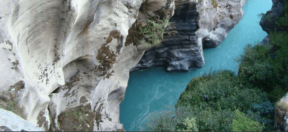
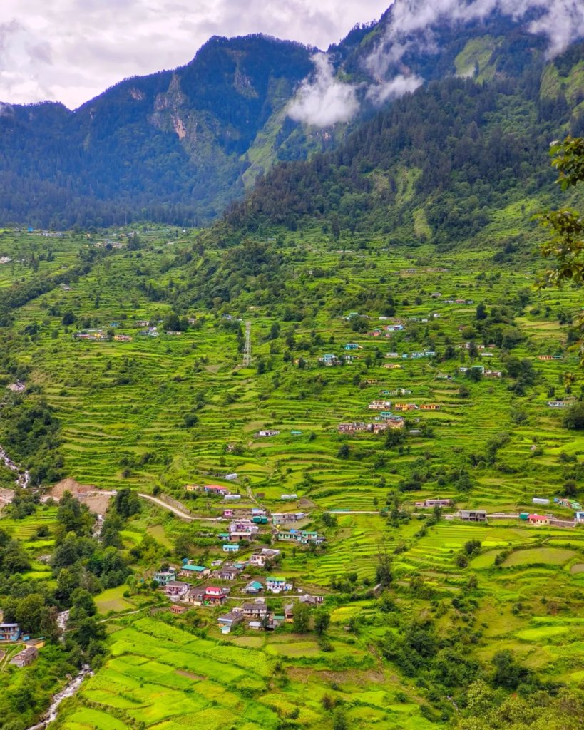
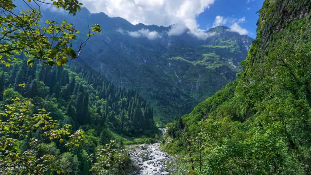
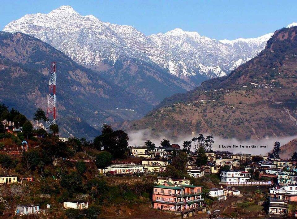
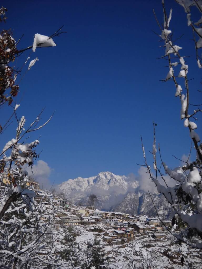
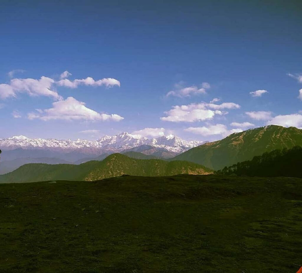
Chamoli District, located in the northern state of Uttarakhand, India, is a picturesque region known for its stunning landscapes, diverse flora, and religious significance. Situated in the Garhwal region of the Himalayas, Chamoli encompasses a range of altitudes, from lush valleys to towering peaks. The district is home to several major rivers, including the Alaknanda, Mandakini, and Nandakini, adding to its natural beauty and providing a lifeline to the local communities
| Location | Chamoli, Gopeshwar |
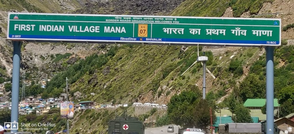
| Famous For | Badrinath Dham, Mana vilage, Trekking, Valley of Flowers, a UNESCO World Heritage Site |
| Altitude | 1300 mts |
| Badrinath Temple | 90 Km From Chamoli |
| Nearest Railway Station or Airport | Rishikesh, 250kms/ Jolly Grant Airport, 270 kms |
| Best time to visit Ukhimath | Round the year |
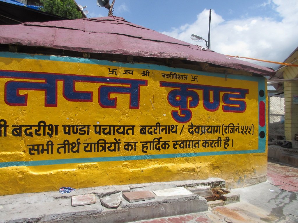
Badrinath One of the Holiest Stops in the Char Dham Journey
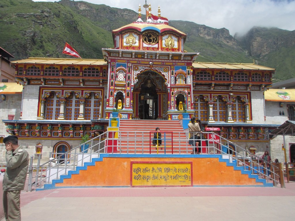
Badrinath Temple
Badrinath, a renowned Hindu pilgrimage site, is nestled in the Chamoli district of Uttarakhand, India. Situated along the banks of the Alaknanda River, it houses the sacred Badrinath Temple dedicated to Lord Vishnu. The temple’s exquisite architecture, spiritual significance, and stunning Himalayan backdrop make it a globally acclaimed destination for devotees and tourists alike Read More
Popullar Trekking Destination in Chamoli
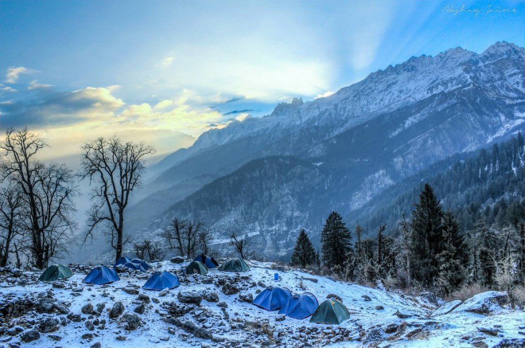
Kuari Pass Trek
The Kuari Pass trek, nestled in the Chamoli district of Uttarakhand, India, is a breathtaking adventure. Known for its panoramic views of the Himalayas, including Nanda Devi, the trek weaves through enchanting meadows and dense forests. Trekkers witness pristine landscapes and diverse flora, making it a captivating journey for nature lovers
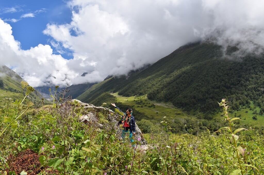
Valley of Flowers
The Valley of Flowers, nestled in the Chamoli district of Uttarakhand, India, is a UNESCO World Heritage Site. This enchanting alpine valley bursts into a riot of colors during the monsoon, showcasing a diverse array of wildflowers. The ethereal beauty of this floral paradise attracts nature enthusiasts and trekkers alike
Click Here to Know More Trekking Places in Chamoli
Tourist Attractions in Chamoli
- Badrinath Temple: A revered Hindu temple dedicated to Lord Vishnu, set against the backdrop of the Himalayas.
- Valley of Flowers: A UNESCO World Heritage Site known for its vibrant alpine meadows and diverse flora.
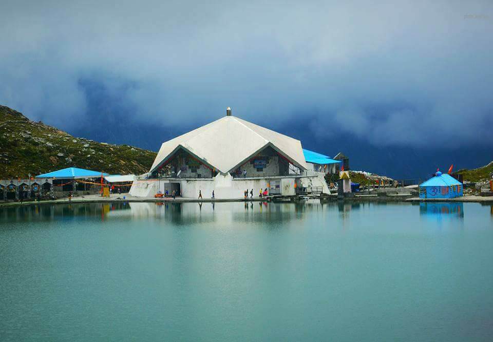
- Hemkund Sahib: A Sikh pilgrimage site surrounded by seven mountain peaks and a glacial lake.
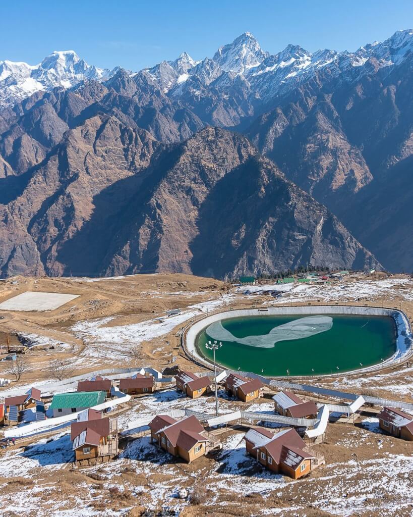
- Auli: A popular skiing destination with panoramic views of the Nanda Devi Range.
- Joshimath: Gateway to several religious sites, including Adi Badri and Narsingh Temple.
- Kuari Pass: A trekking paradise offering stunning views of the surrounding peaks.
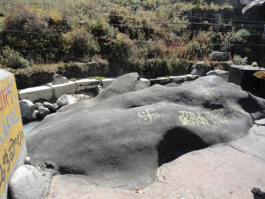
- Gopeshwar: Known for its ancient temples, including the Gopinath Temple.
- Chopta: A scenic hill station with trekking trails leading to Tungnath and Chandrashila.
- Nanda Devi National Park: A UNESCO Biosphere Reserve, known for its rich biodiversity and snow-capped peaks.
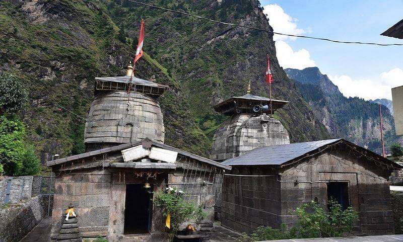
- Bhavishya Badri: One of the Panch Badri temples, believed to be a future pilgrimage site.
Tourist Attractions in Chamoli

How To Reach Sankri
Sankri is a picturesque village located in the Uttarkashi district of
Valley of flowers
Valley of Flowers Trekking Package The Valley of Flowers National Park is

How To Reach Chamoli
By Road
Chamoli is well-connected by road. You can reach Chamoli by taking a bus or driving from major nearby cities like Rishikesh, Haridwar, Dehradun, or even Delhi. The road journey offers scenic views of the Himalayas and passes through towns and villages. The distance and travel time may vary depending on your starting point, but there are well-maintained roads leading to Chamoli.
By Train
The nearest railway station to Chamoli is Rishikesh Railway Station, which is about 200 kilometers away. From Rishikesh, you can hire a taxi or take a bus to reach Chamoli. Another option is Haridwar Railway Station, which is around 225 kilometers away from Chamoli.
By Air
The nearest airport to Chamoli is the Jolly Grant Airport in Dehradun, which is approximately 220 kilometers away. From Dehradun, you can hire a taxi or take a bus to reach Chamoli.
Frequently Asked Questions Registrations
1.Where is Chamoli located?
Chamoli is a district in the Indian state of Uttarakhand. It is situated in the Garhwal region of the state and is known for its natural beauty, including the Himalayan mountains, rivers, and forests.
2. What are the famous tourist attractions in Chamoli?
Chamoli is famous for its picturesque landscapes and religious sites. Some of the popular tourist attractions include the Valley of Flowers National Park, Hemkund Sahib, Badrinath Temple, Auli (a skiing destination), and Joshimath.
3. When is the best time to visit Chamoli?
The best time to visit Chamoli is during the summer months, from April to June, when the weather is pleasant and ideal for outdoor activities and sightseeing. The monsoon season, from July to September, brings heavy rainfall and may not be suitable for travel. Winter, from October to February, experiences cold temperatures and snowfall, making it popular among tourists for skiing in places like Auli.
4. Are there accommodations available in Chamoli?
Yes, Chamoli offers a range of accommodations to suit various budgets, including hotels, guesthouses, and homestays. Auli, a popular skiing destination near Chamoli, also has resorts and ski lodges for tourists.
5. What should I pack for a trip to Chamoli?
Warm clothing, especially if visiting in winter.
Comfortable walking shoes.
Rain gear (if traveling during the monsoon season).
Sunglasses, sunscreen, and a hat.
Personal medication and a basic medical kit.