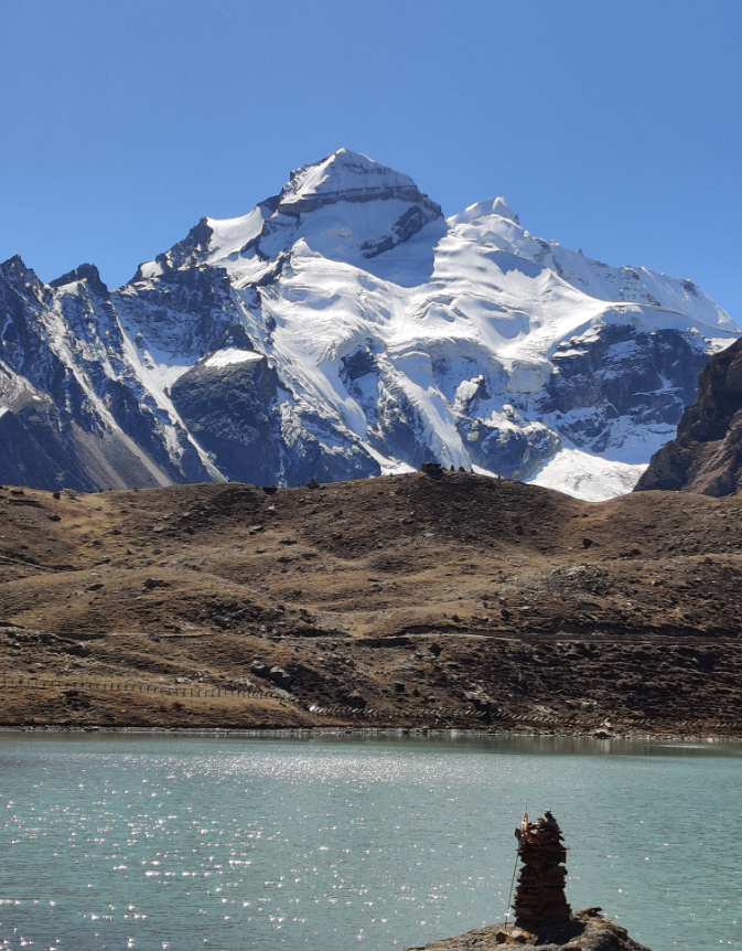
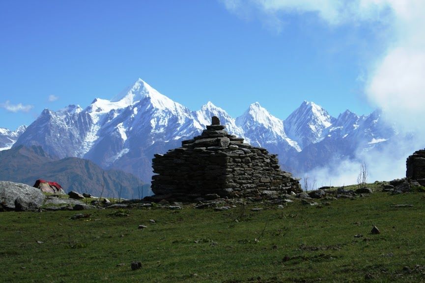
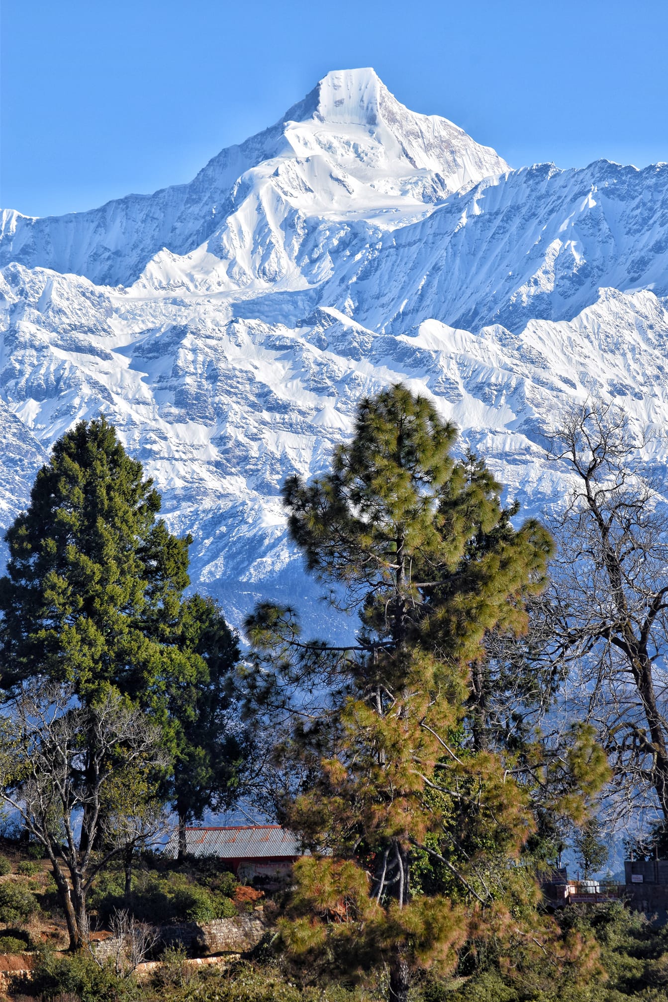
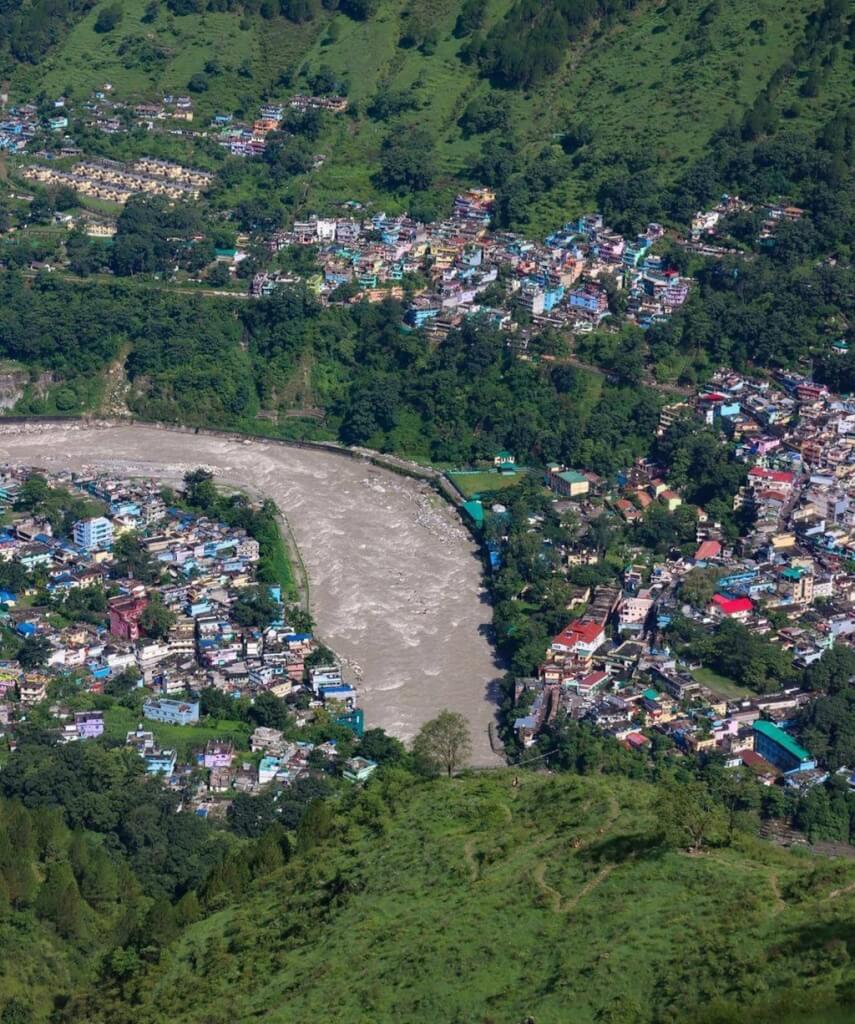
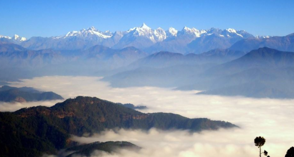
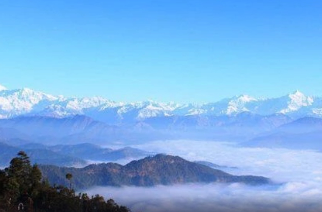
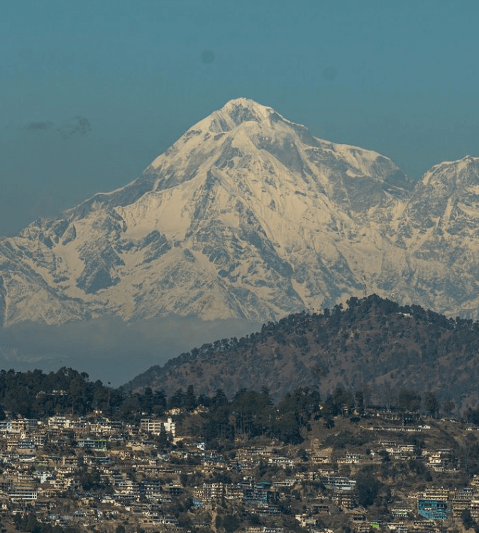
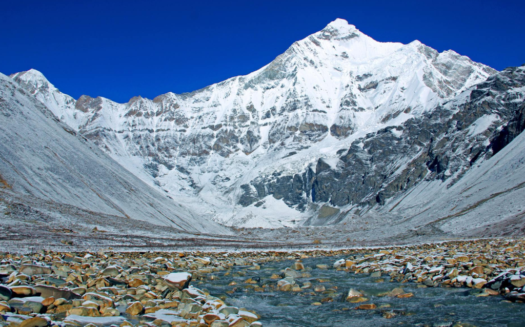
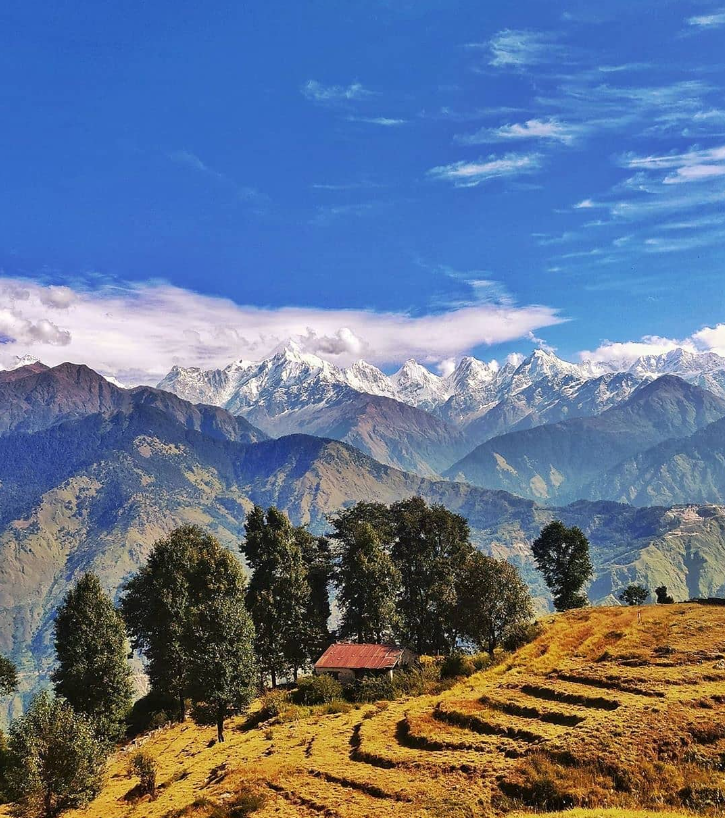
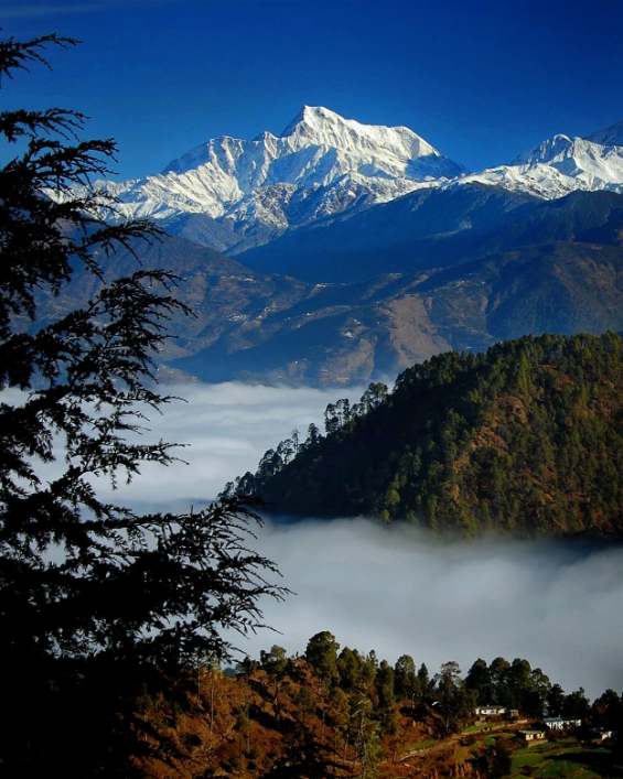
Panchachuli is a group of five snow-capped Himalayan peaks located in the Kumaon region of Uttarakhand, India. The name “Panchachuli” translates to “five cooking hearths” in Hindi, referencing the five peaks that resemble five cooking hearths lined up. These peaks are significant in Hindu mythology and are believed to be the legendary “Five Pandava Brothers” from the Hindu epic Mahabharata.
| Location | Munsiyari |
| Parent range | Kumaon Himalayas |
| Altitude | 6,904 meters |
| First ascent | Led by Deputy Commandant Prem Chand, by the team in 1972. |
| Best time to visit | May, Jun, Sep, Oct |
The five peaks of Panchachuli are:
- Panchachuli I (6,904 meters)
- Panchachuli II (6,904 meters)
- Panchachuli III (6,611 meters)
- Panchachuli IV (6,334 meters)
- Panchachuli V (6,437 meters)
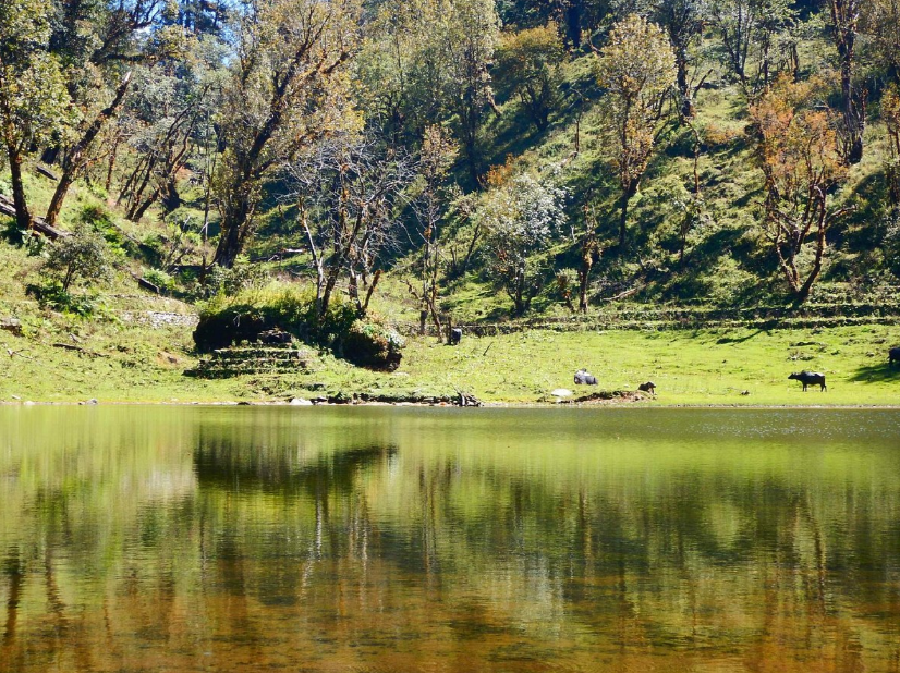
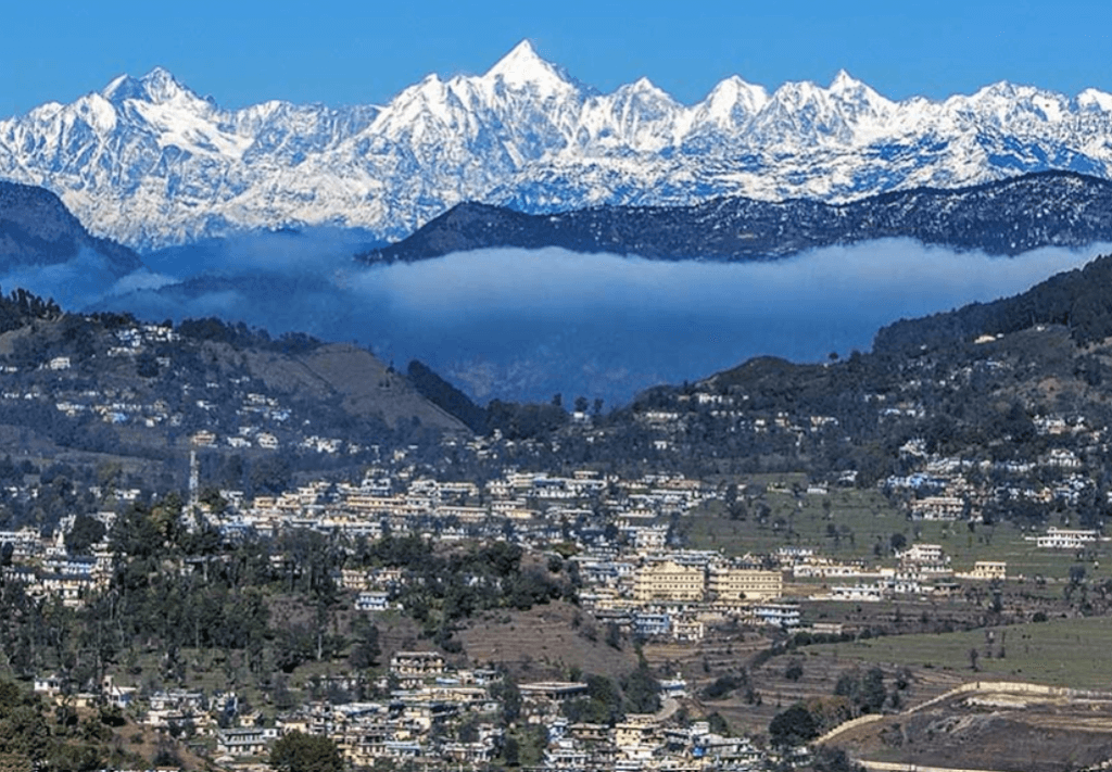
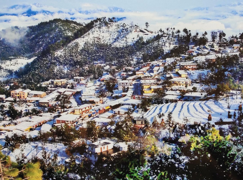
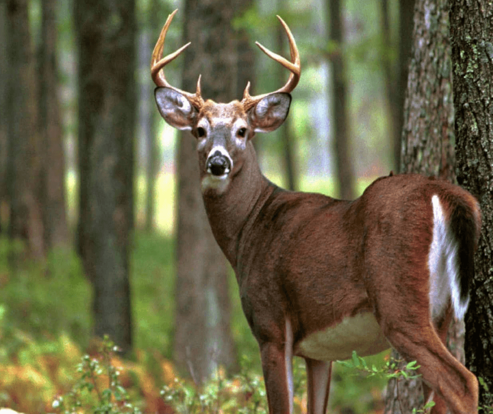
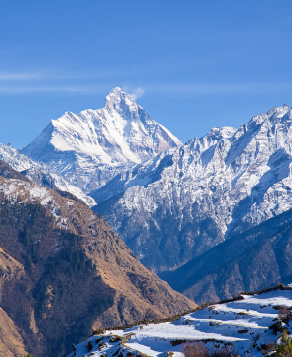
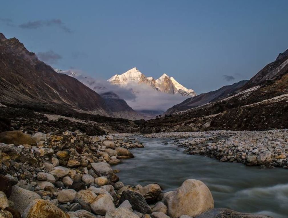
The Panchachuli peaks are a popular destination for trekking and mountaineering enthusiasts, offering breathtaking views of the surrounding Himalayan landscape. The region is also known for its rich biodiversity, including a variety of flora and fauna.
History related to Panchachuli
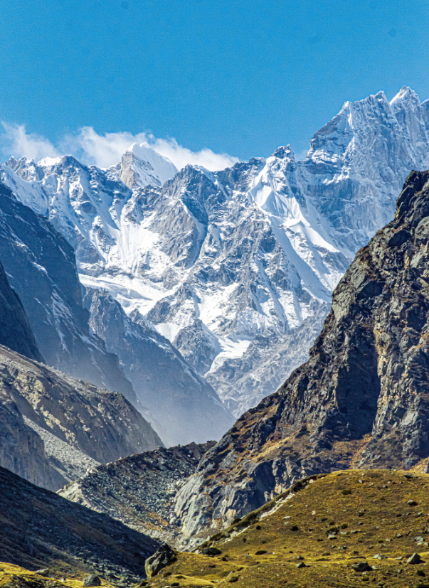
Panchachuli is a group of five snow-capped Himalayan peaks located in the eastern Kumaon region of Uttarakhand, India. The name “Panchachuli” means “five hearths” or “five cooking pots” in the local dialect, referring to the five peaks that resemble the traditional cooking hearths used in Indian households.
These peaks hold significant cultural and religious importance for the local people, especially the tribes inhabiting the region. They are considered sacred and are often depicted in local folklore and mythology.
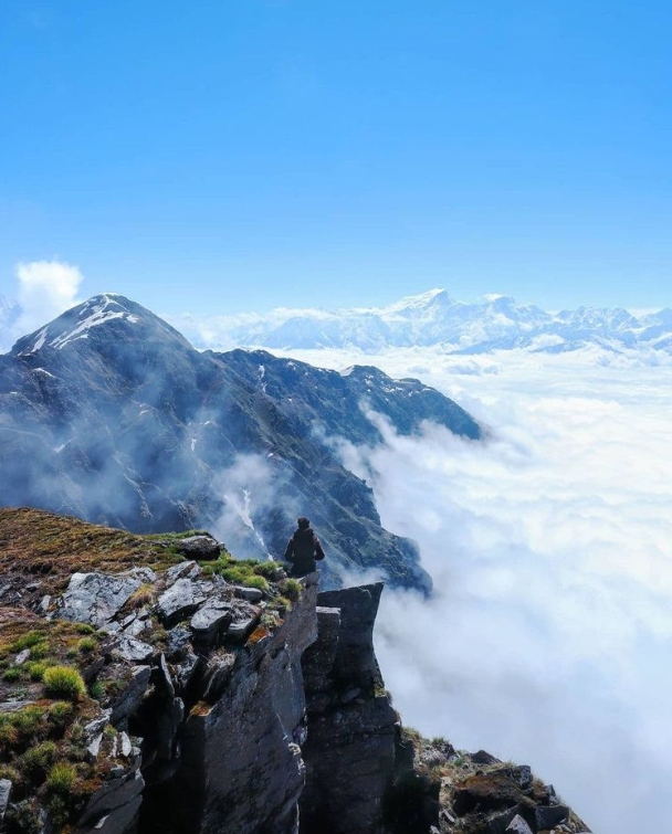
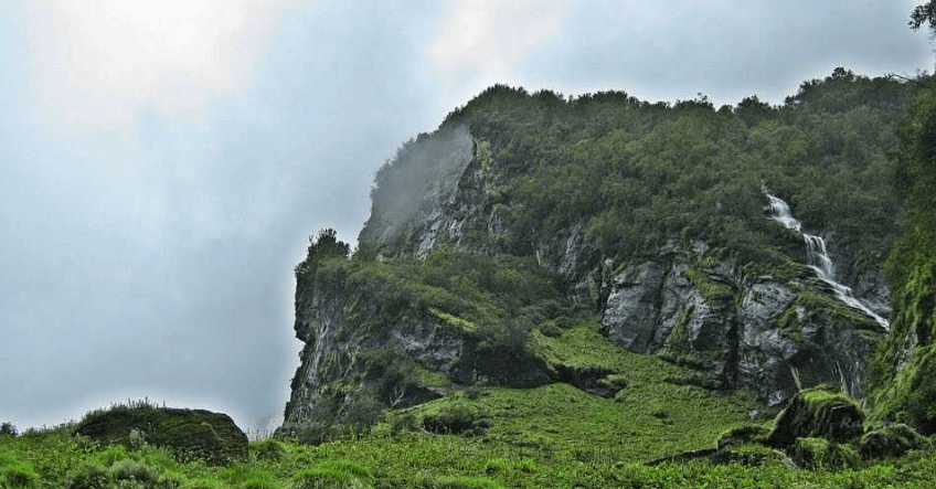
In addition to their cultural significance, Panchachuli peaks also attract trekkers and mountaineers from around the world. The region offers stunning natural beauty, with lush alpine meadows, dense forests, and breathtaking views of the Himalayas.
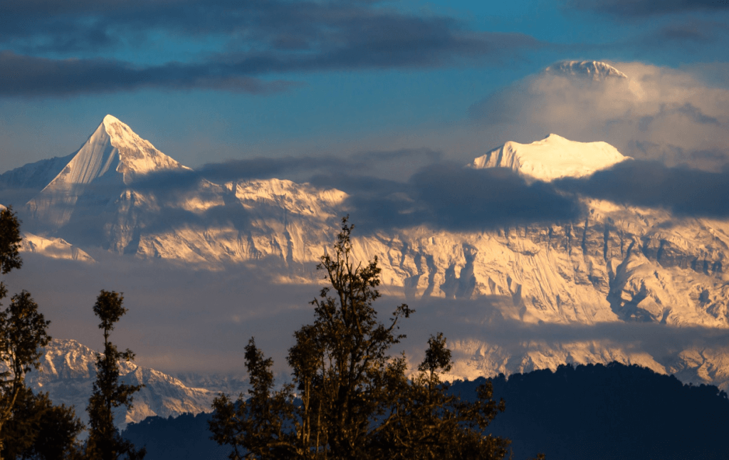
Over the years, several expeditions have been undertaken to climb the Panchachuli peaks, adding to their allure among the mountaineering community. However, due to their remote location and challenging terrain, these peaks remain relatively untouched and pristine, attracting adventurers seeking wilderness and solitude.
Peaks of Uttarakhand

How To Reach Sankri
Sankri is a picturesque village located in the Uttarkashi district of the Indian state of Uttarakhand. It serves as a…
Nanda Khat
“Nanda Kot” is a prominent peak located in the Kumaon region of the Indian state of Uttarakhand. It is part…
Nanda Ghunti
Nanda Ghunti is a prominent peak located in the Garhwal region of the Indian state of Uttarakhand. It’s part of…
Nanda Devi
Nanda Devi is a significant mountain peak located in the Indian state of Uttarakhand, part of the Garhwal Himalayas. It’s…
Bhagirathi Peak
Bhagirathi Peak is a prominent mountain peak located in the Garhwal Himalayas of Uttarakhand, India. It is part of a…