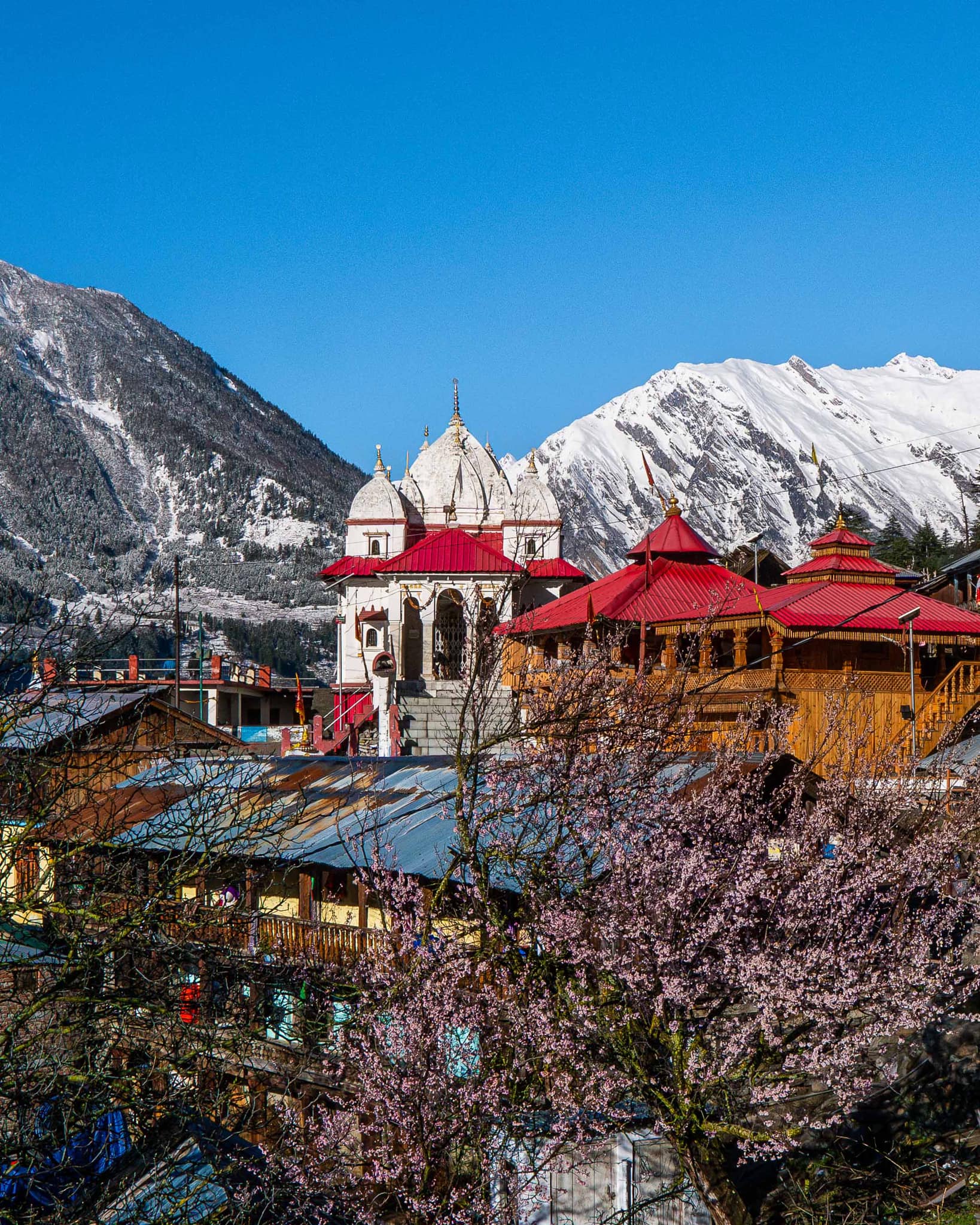
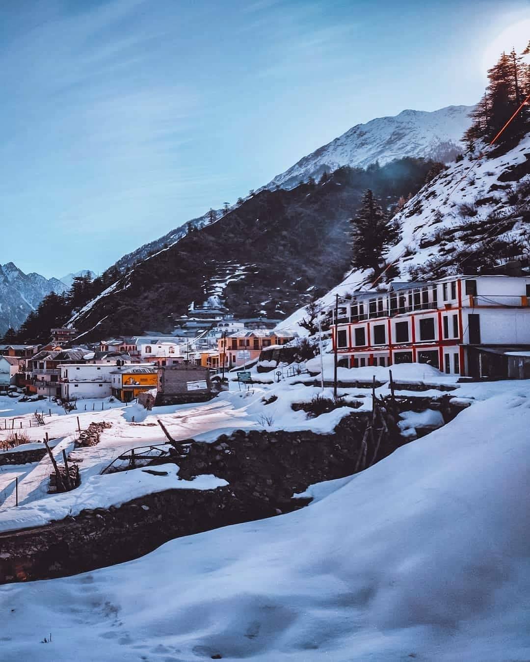
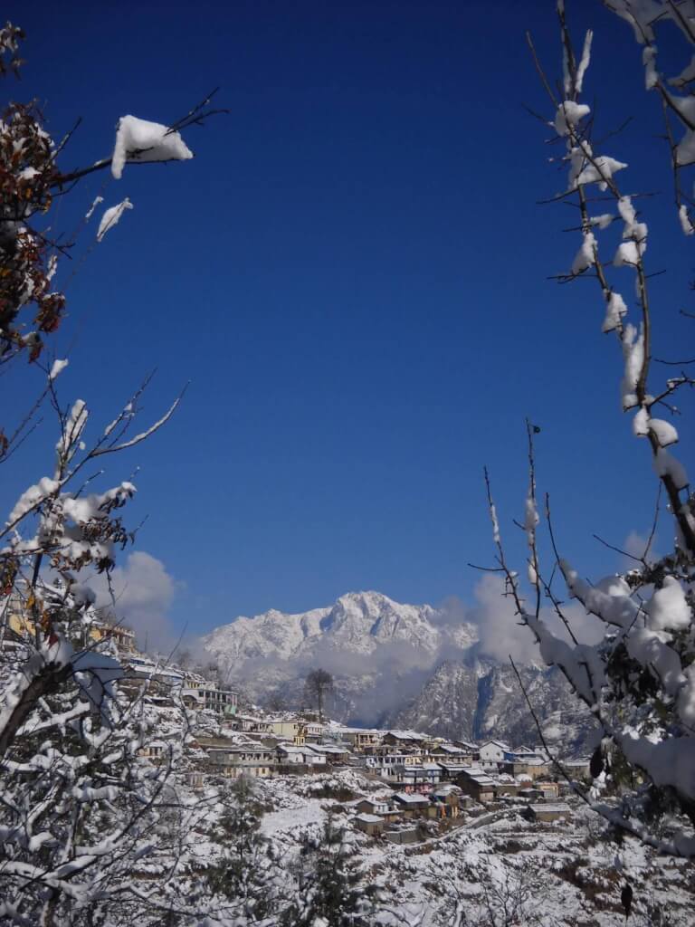
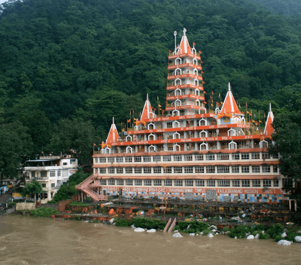
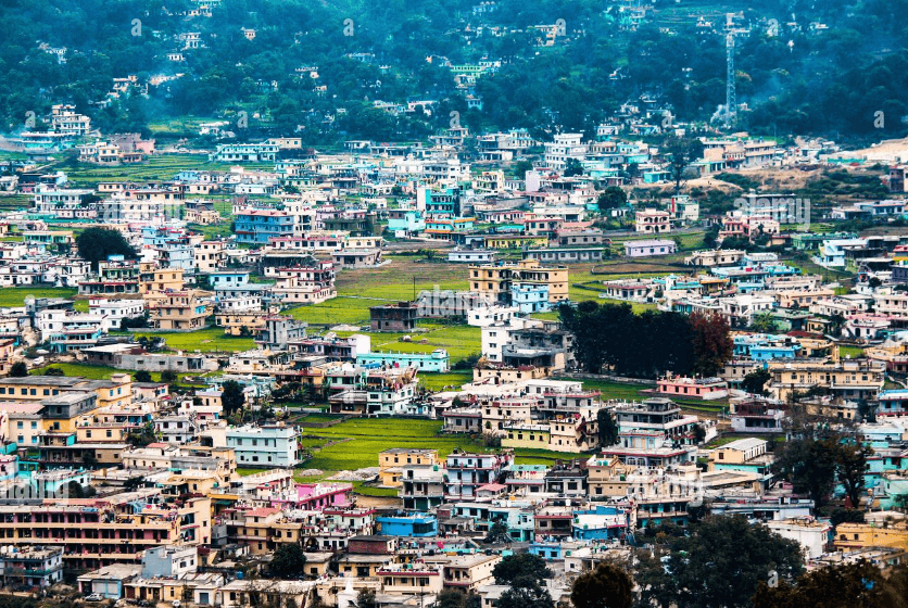
Gangotri and Yamunotri are prominent pilgrimage sites in Uttarkashi, India. Gangotri is revered as the source of the Ganges River, while Yamunotri is dedicated to the Yamuna River. Both Dhams hold cultural and spiritual significance, attracting devotees seeking blessings and purification in the Himalayan region
How To Reach Uttarkashi
To reach Uttarkashi, a town in the Indian state of Uttarakhand, you have several transportation options depending on your starting point:
By Air: The nearest airport to Uttarkashi is Jolly Grant Airport in Dehradun, which is approximately 190 kilometers away. From there, you can hire a taxi or take a bus to Uttarkashi.
By Train: The nearest railway station to Uttarkashi is Rishikesh Railway Station, which is around 180 kilometers away. From Rishikesh, you can hire a taxi or take a bus to Uttarkashi.
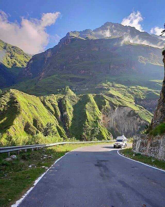
By Road: Uttarkashi is well-connected by road to major cities and towns in Uttarakhand. You can either drive yourself or take a bus from nearby cities like Dehradun, Rishikesh, or Haridwar. There are also shared taxis and private cab services available from these cities to Uttarkashi.
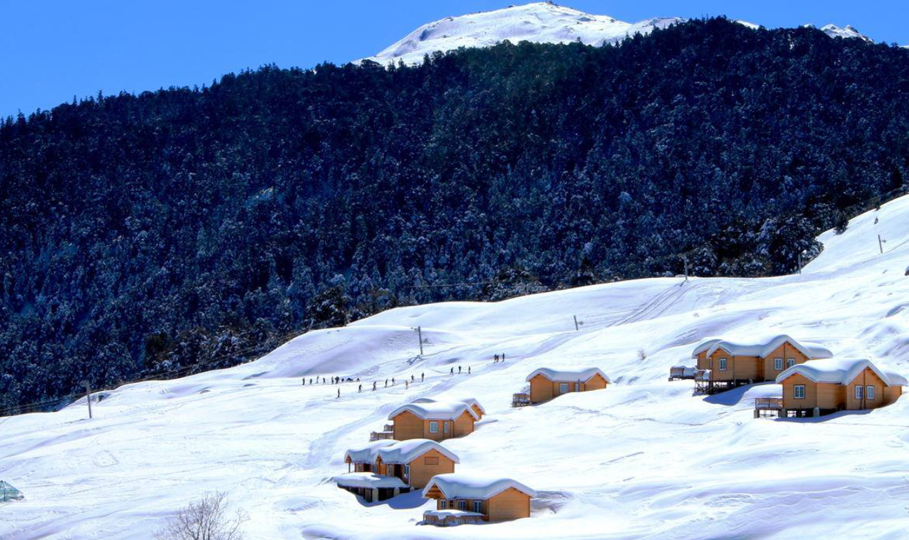
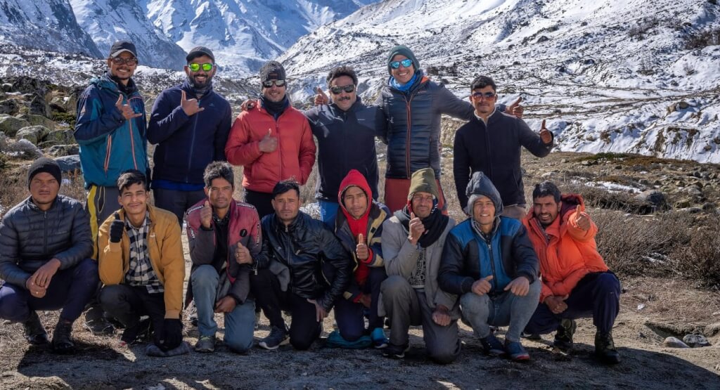
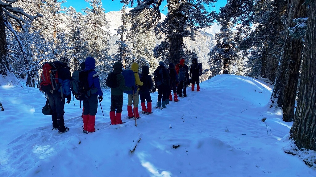
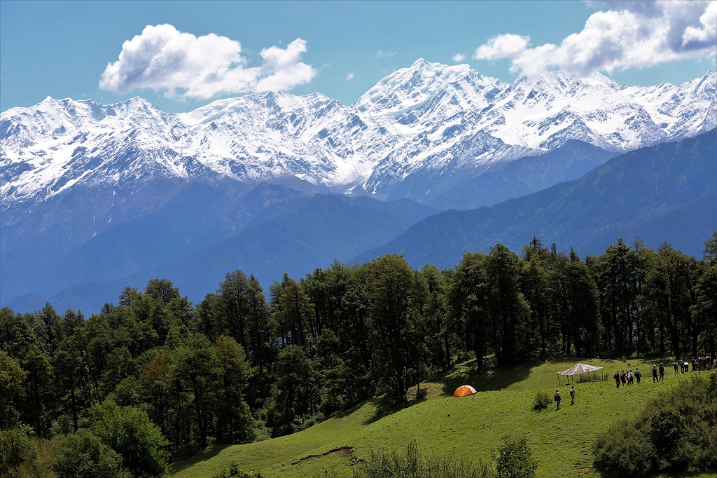
Once you reach Uttarkashi, you can explore its scenic beauty, religious sites, and trekking routes in the nearby Himalayan ranges.
Adi kailash Yatra Package From Kathgodam

How To Reach Sankri
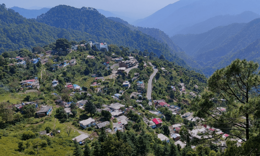
Sankri is a picturesque village located in the Uttarkashi district of the Indian state of Uttarakhand. It serves as a…
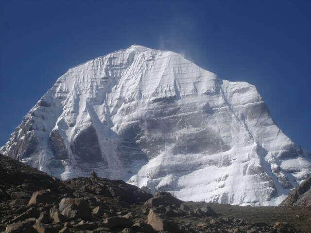
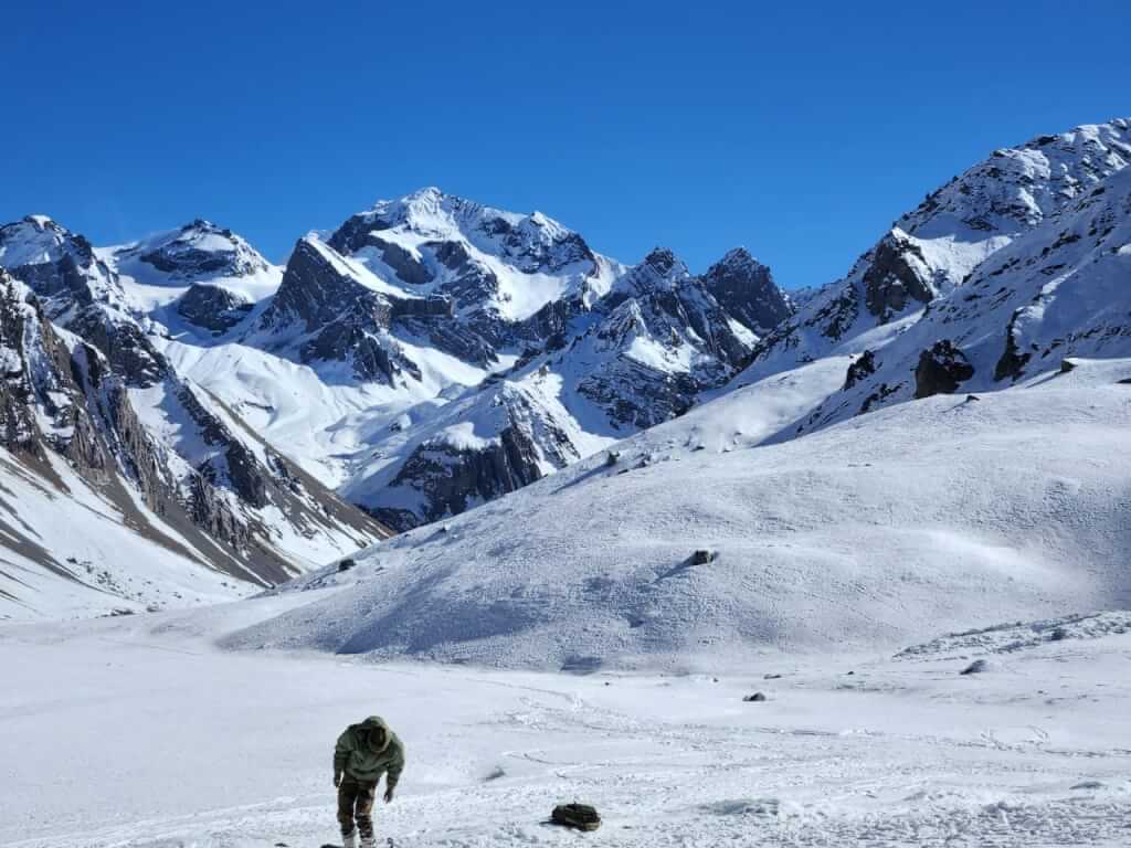
Adi Kailash
Adi Kailash, also known as Chhota Kailash, is a sacred mountain located in the Indian state of Uttarakhand. Standing tall…
Adi kailash Yatra from Delhi
Yatra Overview Reporting Time & Place :- Ajmeri Gate Side at 0900 Hr Save 20% on Yatra CostRs 42,000/ (Delhi to Delhi)…
Adi Kailash Yatra KMVN
Adi Kailash & Om Parvat Yatra Trek Overview Duration: 06Nights / 07 Days …
Char Dham Yatra Package

Uttarakhand Trekking Package
Near Places to Visit
How To Reach Sankri
Sankri is a picturesque village located in the Uttarkashi district of the Indian state of Uttarakhand. It serves as a

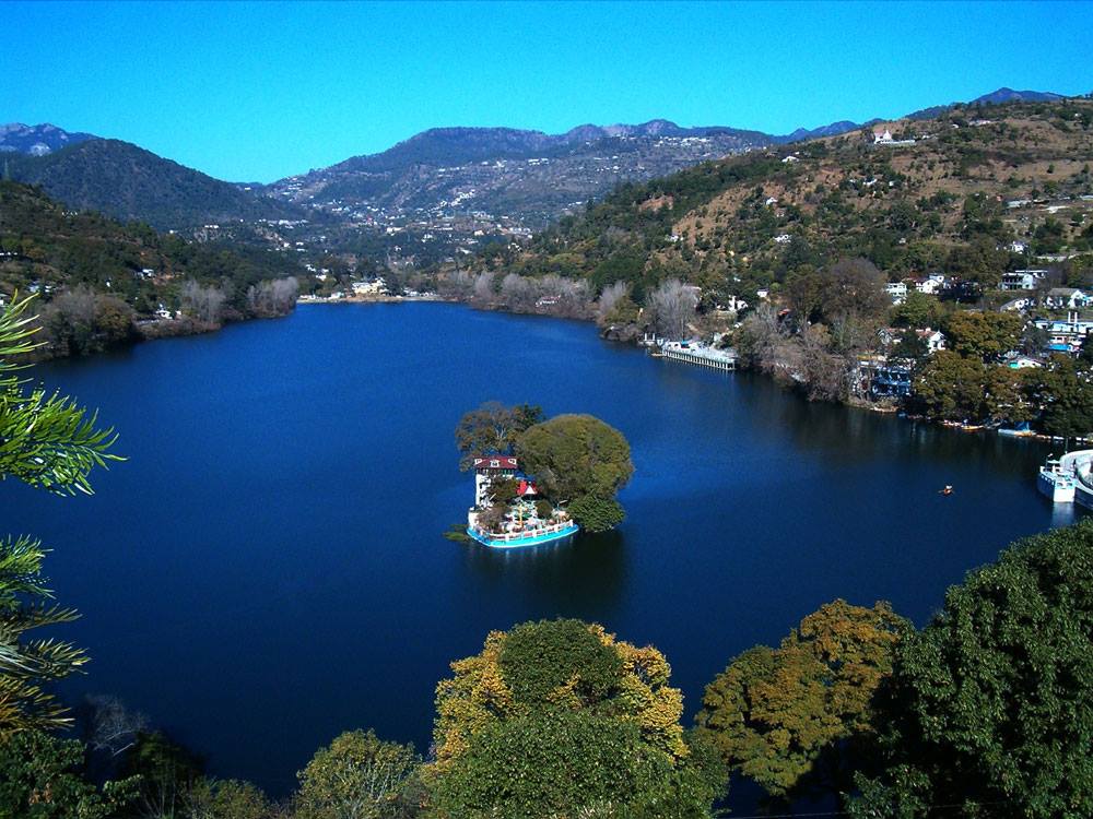
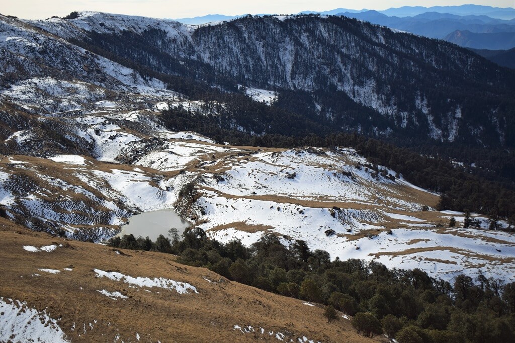
Gangotri National Park
Gangotri National Park is a stunning protected area located in the state of Uttarakhand, India. It’s named after the Gangotri