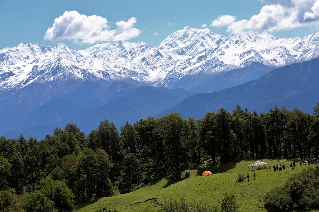
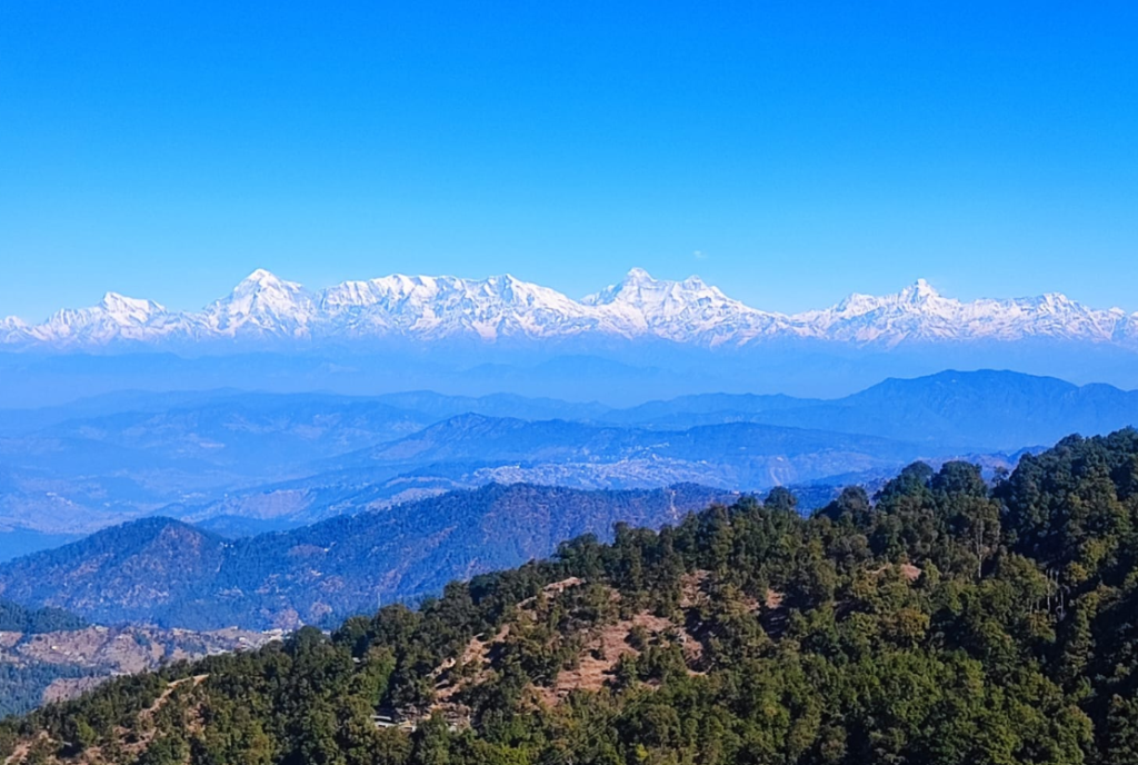
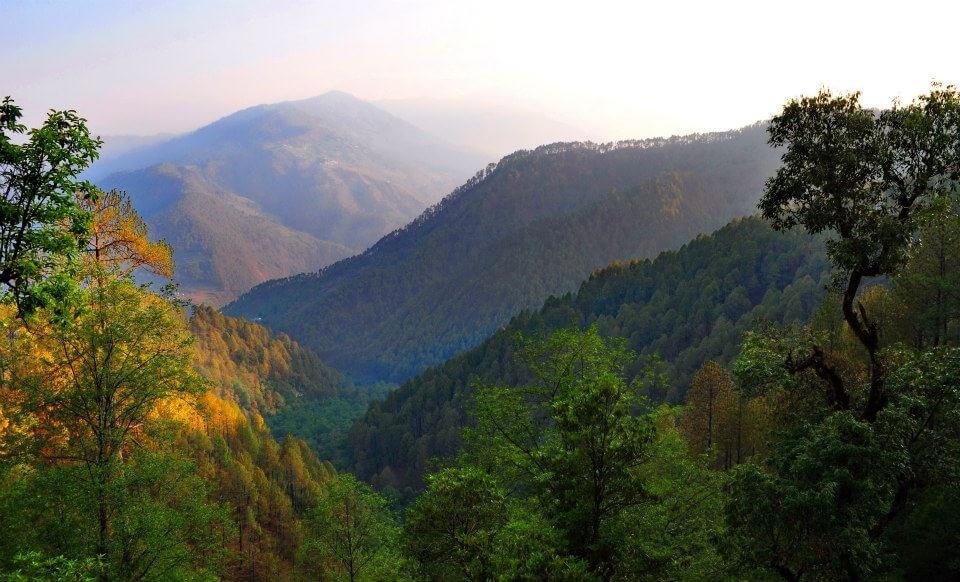
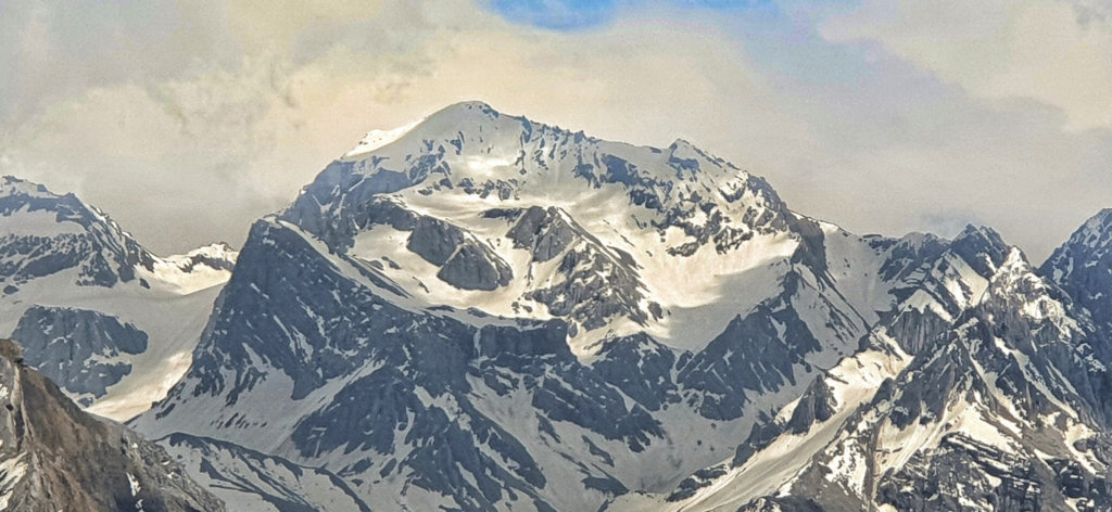
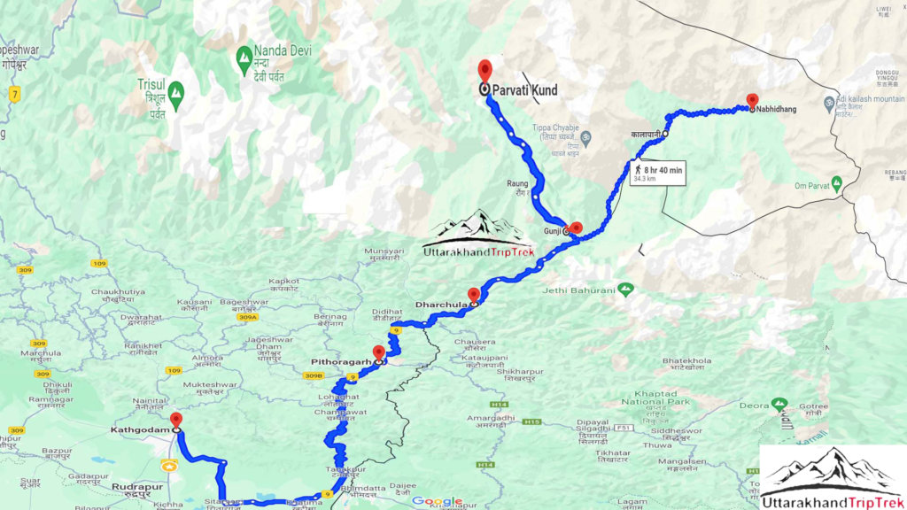
A scenic road journey from Kathgodam to Adi Kailash, covering approximately 450 kilometers. The route takes you through picturesque landscapes, charming towns like Pithoragarh and Dharchula, and winding mountain roads. The road trip is a blend of adventure and serenity, offering glimpses of traditional villages and the natural beauty of Uttarakhand. Adi Kailash by road, a journey that intertwines spirituality with the majesty of the Himalayas.
How to Reach Adi Kailash from Delhi
- Delhi to Kathgodam:
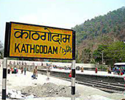
- Start by taking a train or a road journey from Delhi to Kathgodam, which is the nearest railway station.
- Kathgodam to Pithoragarh:
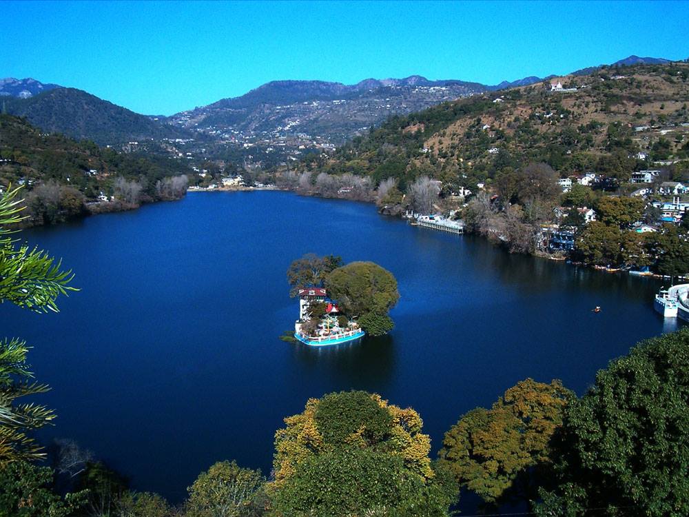
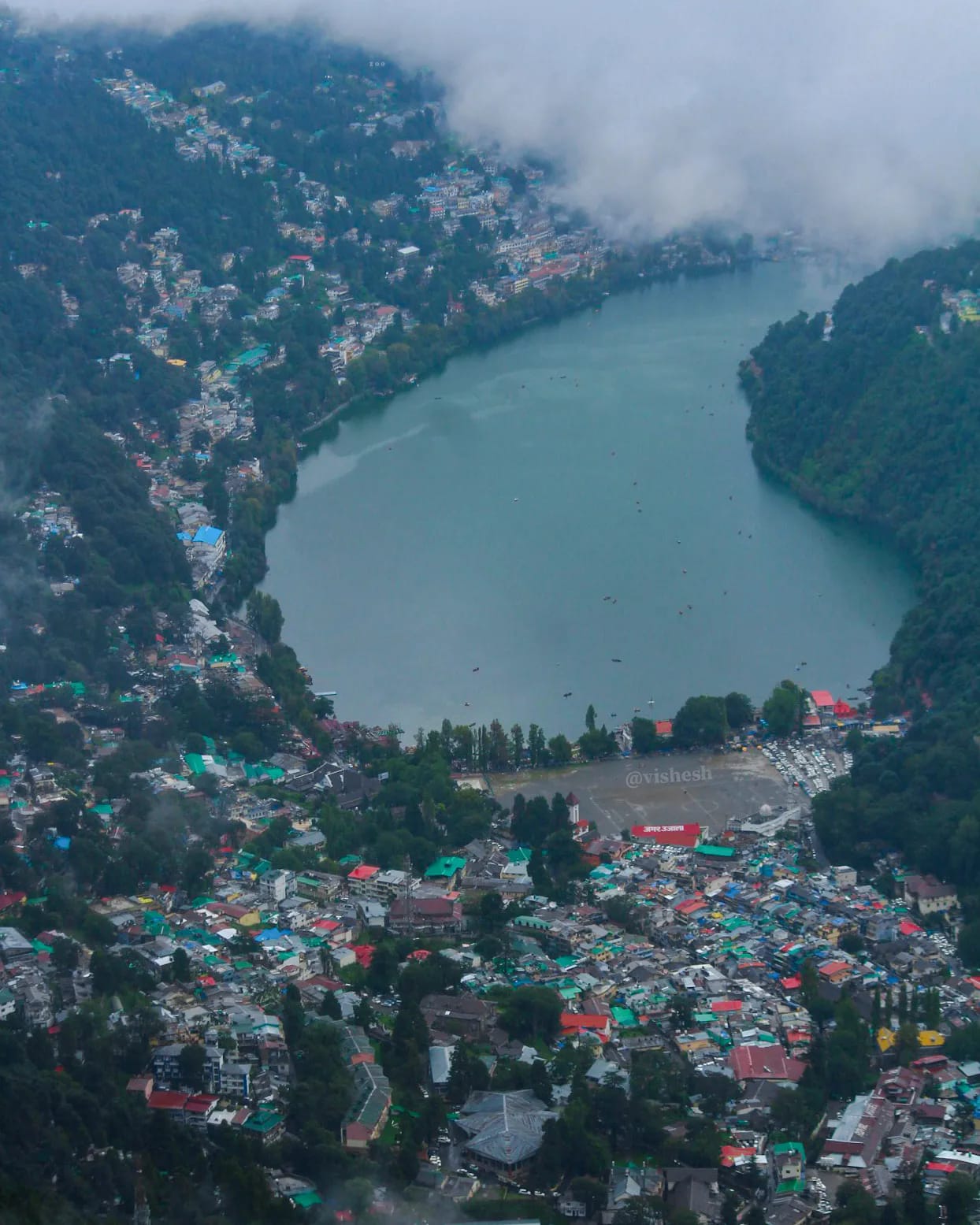
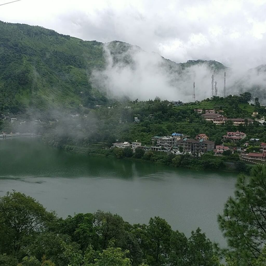
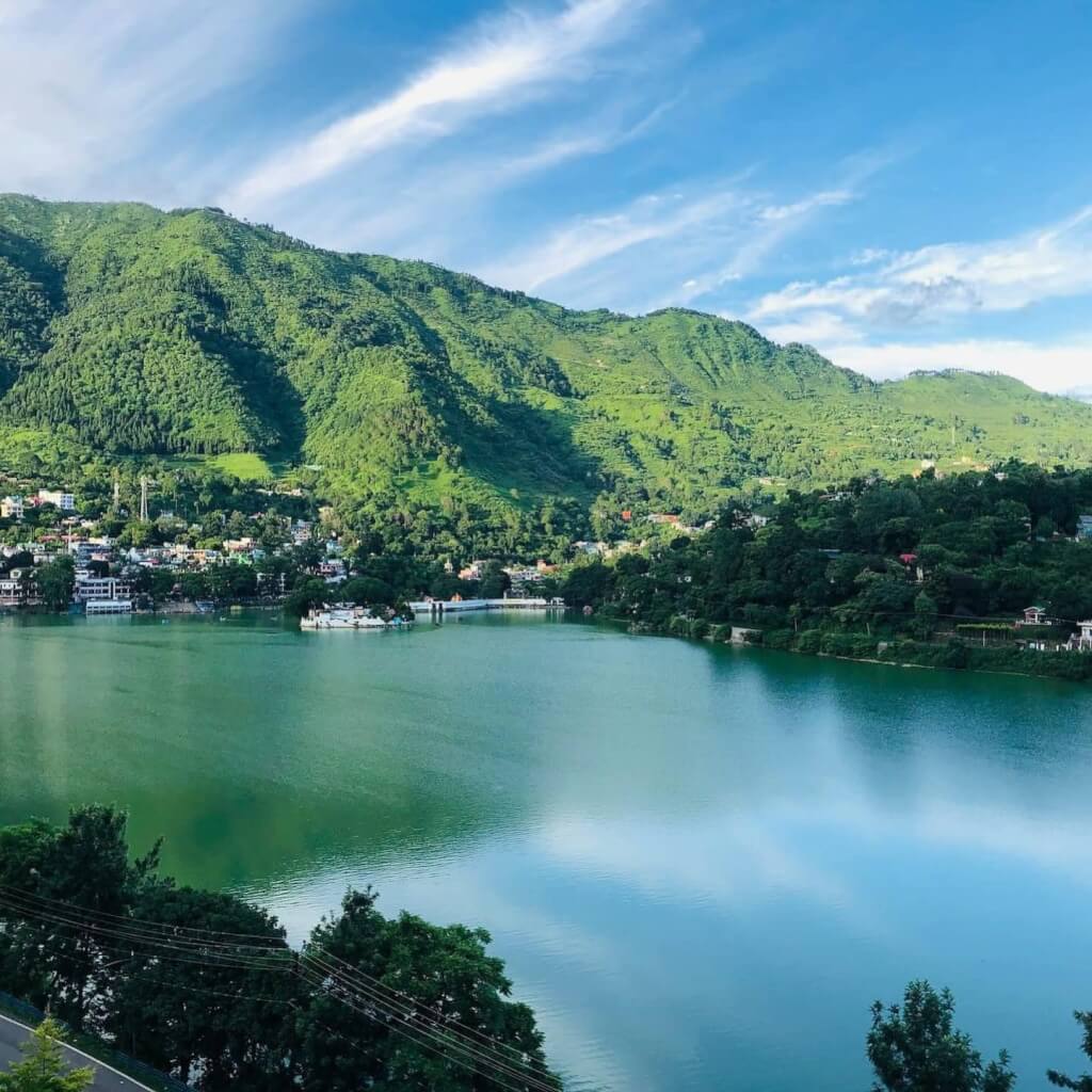
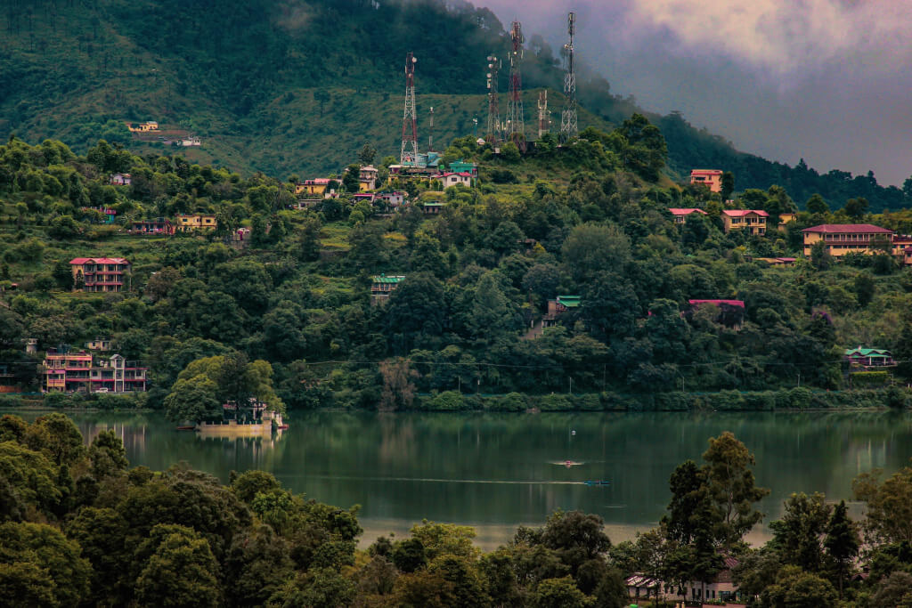
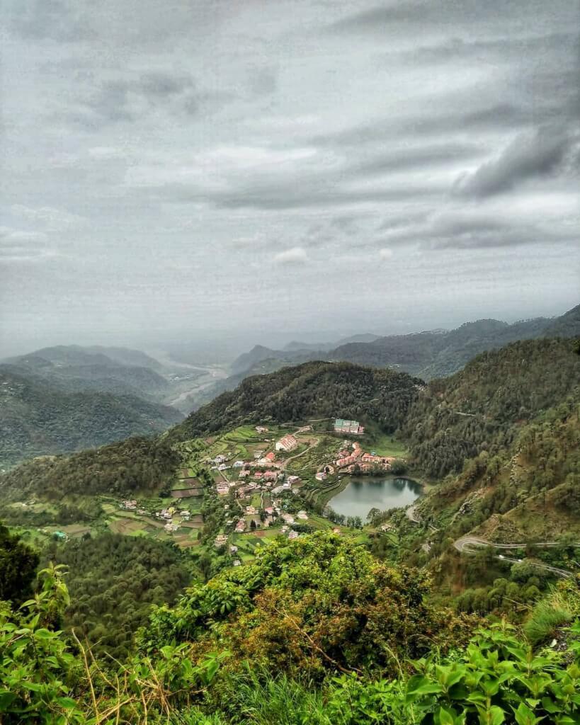
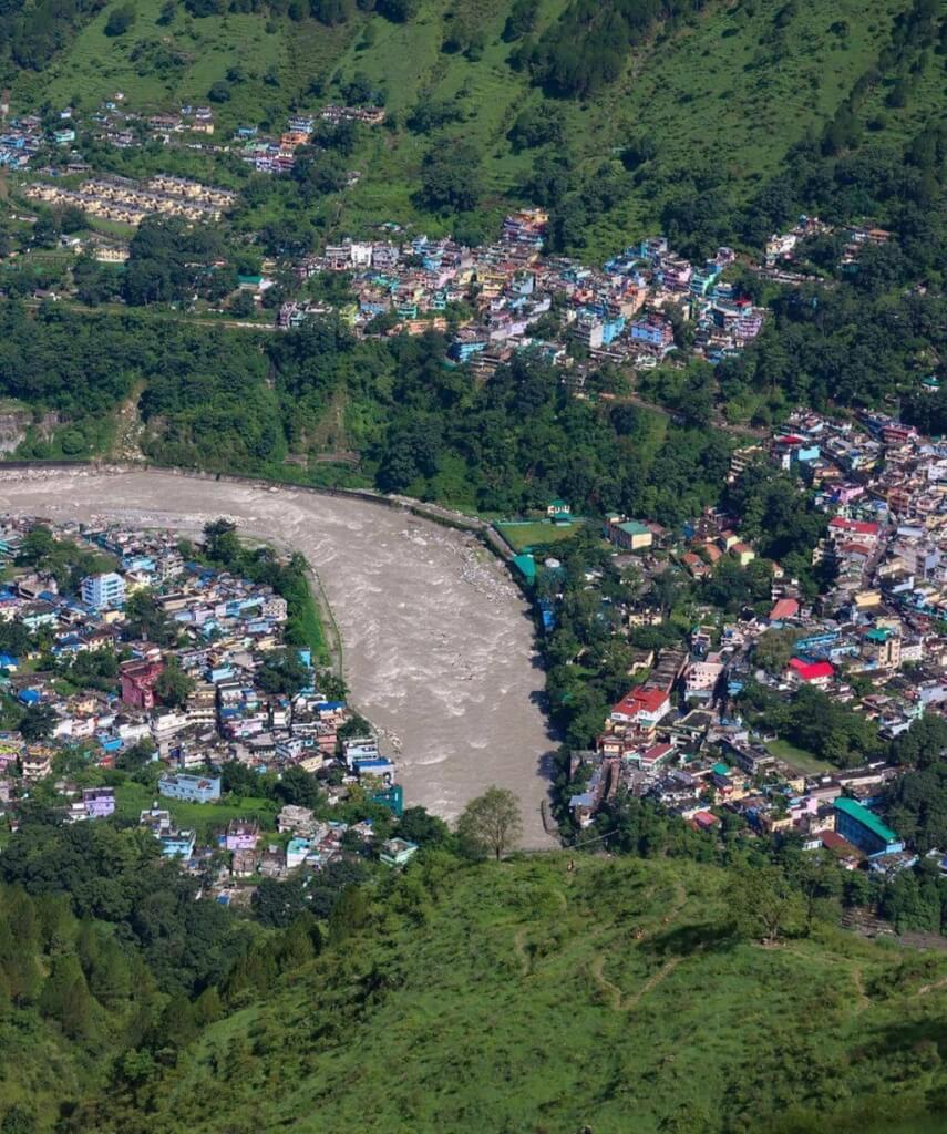
- From Kathgodam, proceed by road to Pithoragarh. This road journey is approximately 450 kilometers and takes around 12 hours.
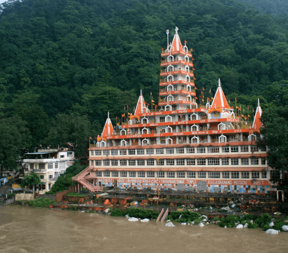
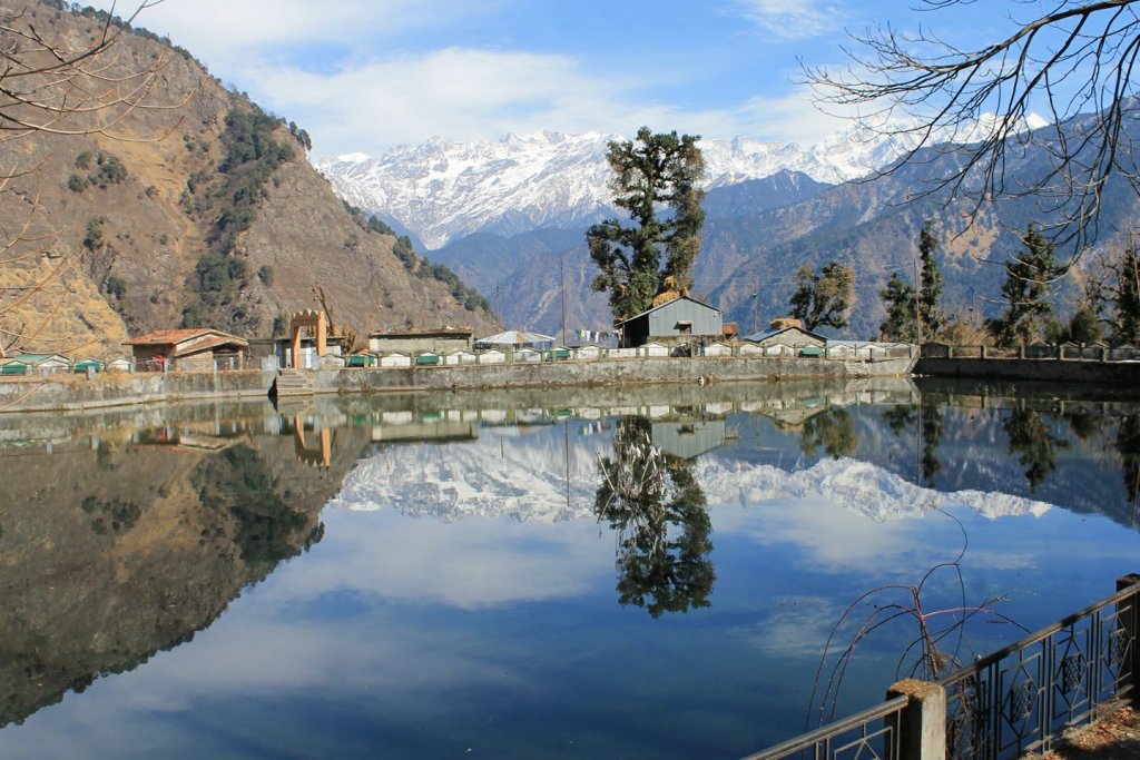
- Pithoragarh to Dharchula:
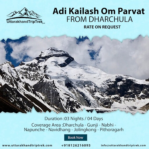
- Continue the road journey from Pithoragarh to Dharchula, which is about 100 kilometers and takes around 3 hours by jeep.
Read More :- Guide to Adi Kailash :: FAQs :: Adi Kailash Photo
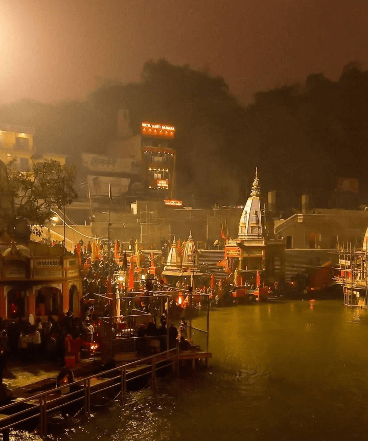
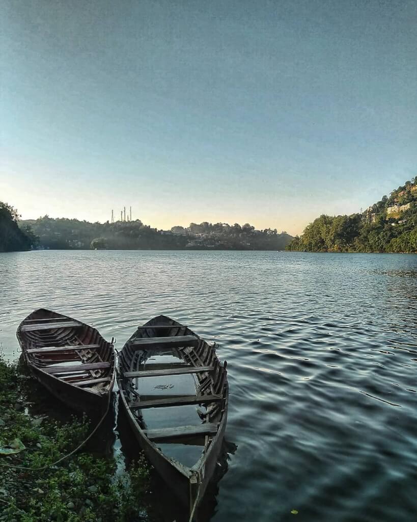
How to Reach Adi Kailash from Kathgodam
- Kathgodam to Pithoragarh:
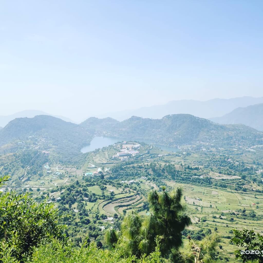
- Start your journey from Kathgodam, and drive approximately 450 kilometers to Pithoragarh.
- Enjoy the scenic route that takes you through beautiful landscapes and towns.
- Pithoragarh to Dharchula:
- Continue your road trip from Pithoragarh to Dharchula, covering a distance of around 100 kilometers.
- The route involves picturesque mountain roads and may take about 3 hours by jeep.
- Dharchula to Gunji/Nabi:
- Proceed from Dharchula to Gunji/Nabi, driving approximately 80 kilometers.
- Along the way, you’ll pass through charming villages like Chialekh, Garbyang, and Napalchu.
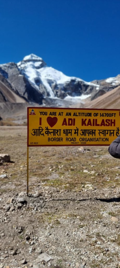
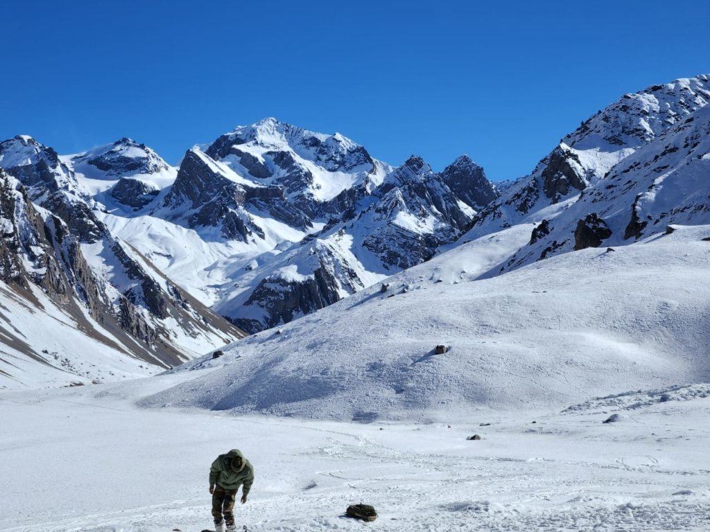
- Gunji/Nabi to Adi Kailash (Kalapani and Navidhang):
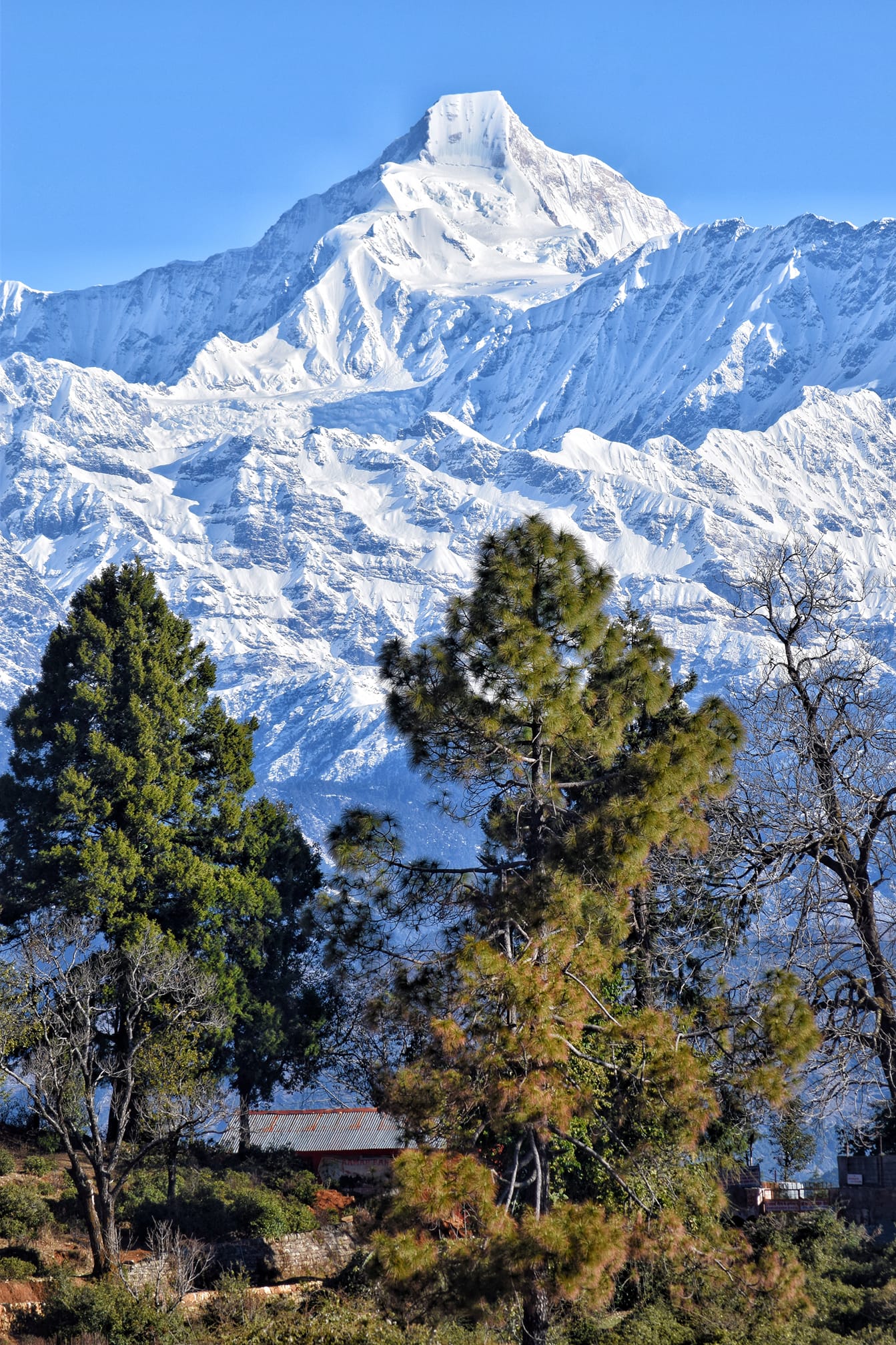
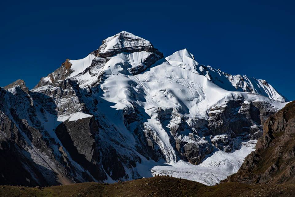
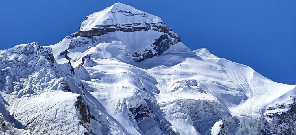
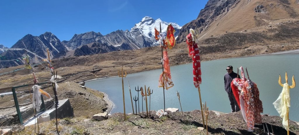
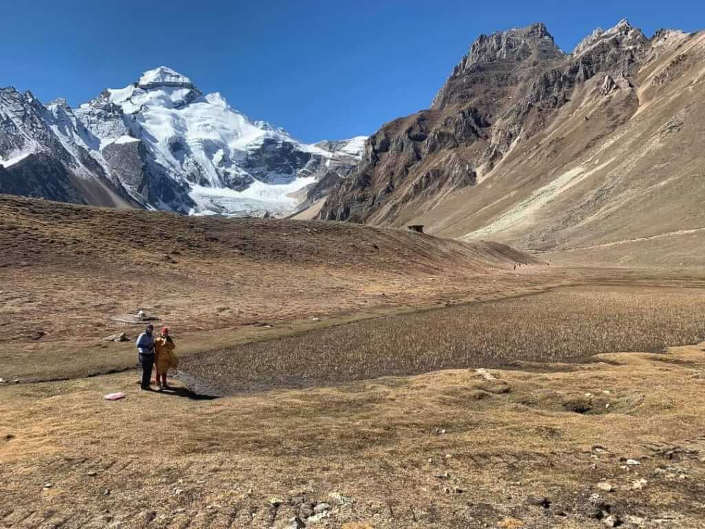
- From Gunji, travel to Kalapani and Navidhang, where you can witness the sacred Om Parvat.
- The distance from Gunji to Kalapani is approximately 35 kilometers.
- Return Journey:
- After exploring Adi Kailash, commence the return journey following the same route back to Kathgodam.
Adi kailash from Delhi :: Adi kailash from Kathgodam :: Adi kailash from Dharchula
By Air:
- Nearest Airport: Pantnagar Airport (PGH) is the nearest airport to Adi Kailash.
- Kathgodam to Adi Kailash: From Kathgodam, travel by road to Pithoragarh, and then proceed to Dharchula.
By Train:
- Nearest Railway Station: Kathgodam Railway Station (KGM) is the nearest railway station.
- Kathgodam to Adi Kailash: After reaching Kathgodam, proceed by road to Pithoragarh and then Dharchula.
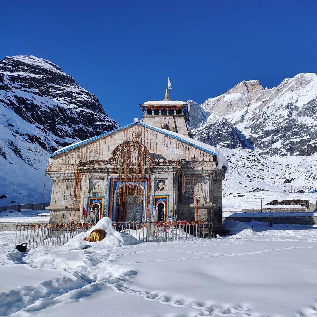
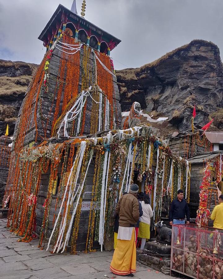
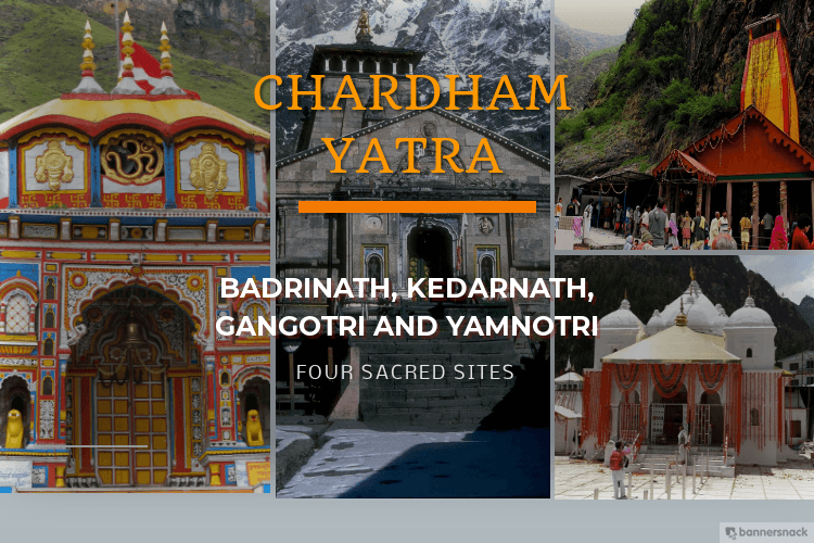
Char Dham Yatra Package :: Do Dham Yatra :: Kedarnath Dham Yatra
Adi Kailash Yatra Package From Kathgodam

How To Reach Sankri
Sankri is a picturesque village located in the Uttarkashi district of the Indian state of Uttarakhand. It serves as a…
Adi Kailash Weather
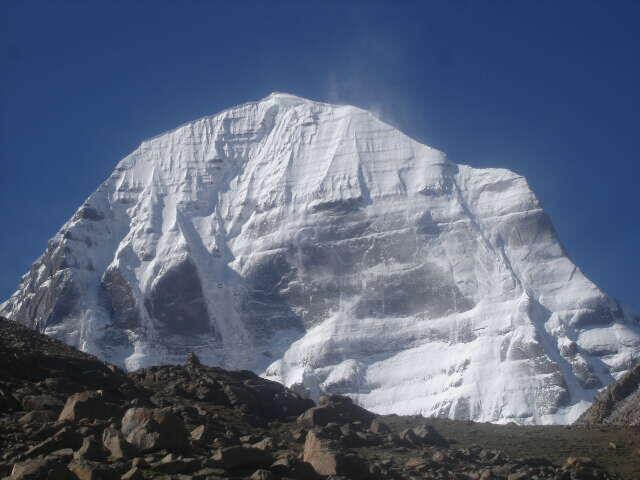
Adi Kailash, also known as Chota Kailash, is a renowned pilgrimage destination, drawing tourists and devotees of Lord Shiva. The…
Adi Kailash
Adi Kailash, also known as Chhota Kailash, is a sacred mountain located in the Indian state of Uttarakhand. Standing tall…
Adi kailash Yatra from Delhi
Yatra Overview Reporting Time & Place :- Ajmeri Gate Side at 0900 Hr Save 20% on Yatra CostRs 42,000/ (Delhi to Delhi)…
Adi Kailash Yatra KMVN
Adi Kailash & Om Parvat Yatra Trek Overview Duration: 06Nights / 07 Days …