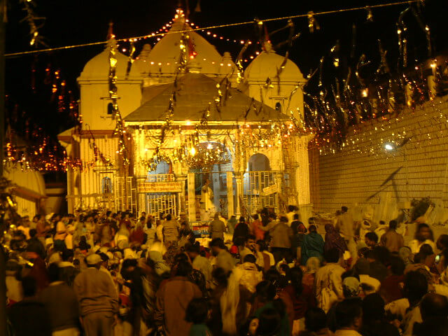
Jeolikot FAQs

  1. Where is Jeolikot located?

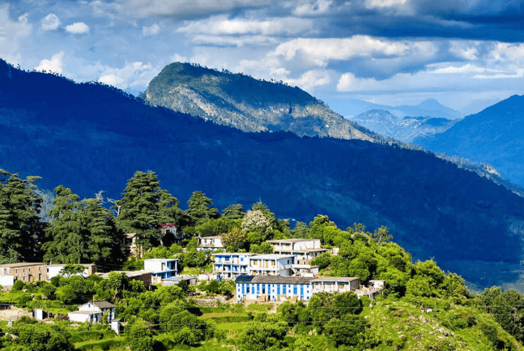
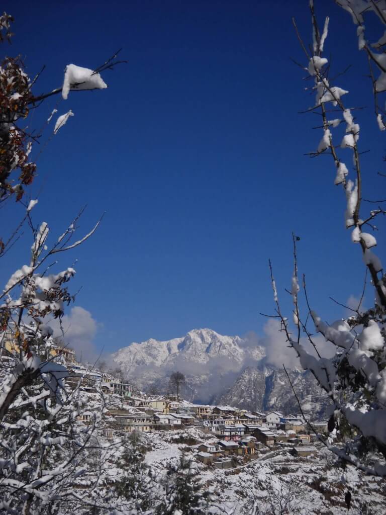
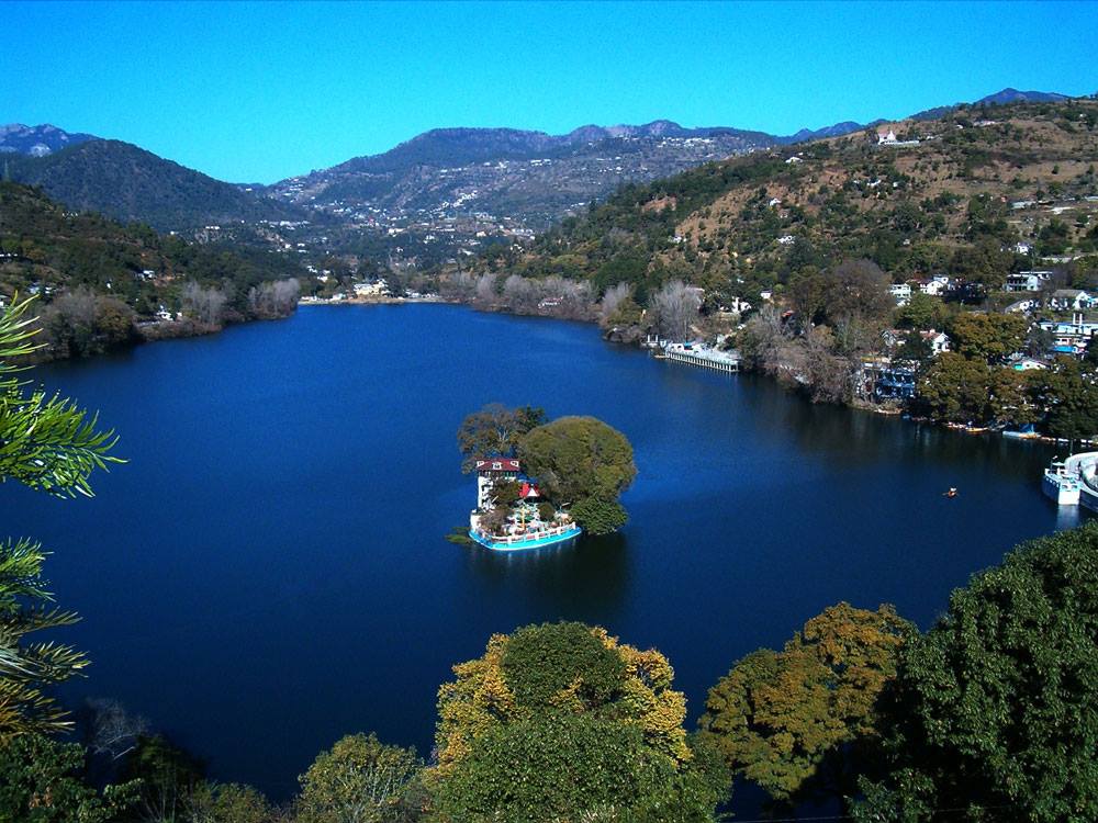
Jeolikot is located in the Nainital district of Uttarakhand, India. It is situated on the main road to Nainital, around 17 kilometers away from the hill station.

2. What is the best time to visit Jeolikot?

The best time to visit Jeolikot is from March to June and September to November. During these months, the weather is pleasant and ideal for travel and sightseeing. Winters can be cold, with temperatures sometimes dropping below freezing, while the monsoon season (July to August) may bring heavy rainfall.

3. What languages are spoken in Jeolikot?

The primary languages spoken in Jeolikot are Hindi and Kumaoni. English is also understood in some areas, especially where there is tourist activity.

4. How can I reach Jeolikot?

Jeolikot is accessible by road from major cities in Uttarakhand. The nearest railway station is in Kathgodam, about 30 kilometers away. Pantnagar Airport, located around 50 kilometers from Jeolikot, is the nearest airport.

5. Are there accommodations available in Jeolikot?

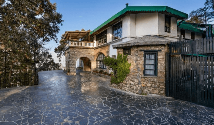
Yes, Jeolikot offers a range of accommodation options including hotels, guesthouses, and resorts. The options may be more limited compared to larger towns, so it’s advisable to book in advance.
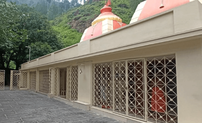
6. What are the main attractions in Jeolikot?
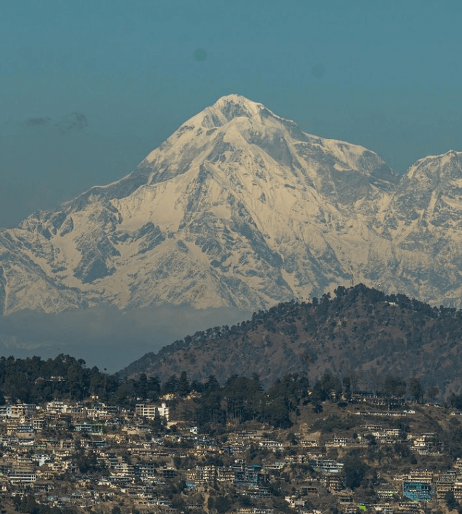
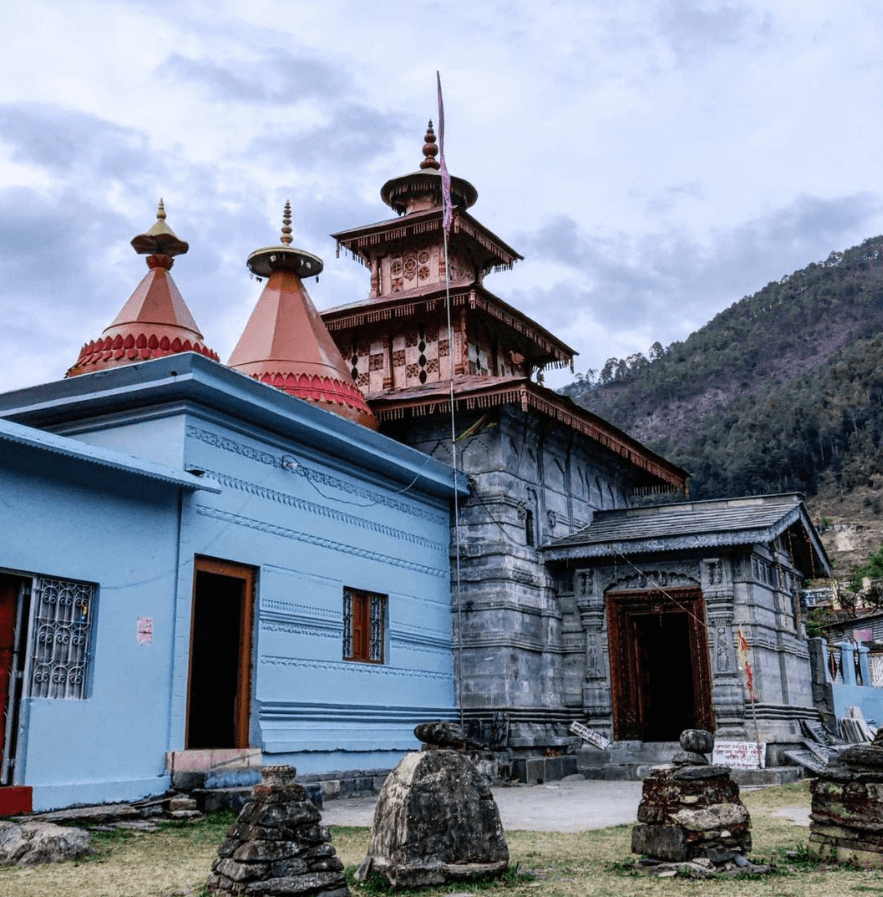
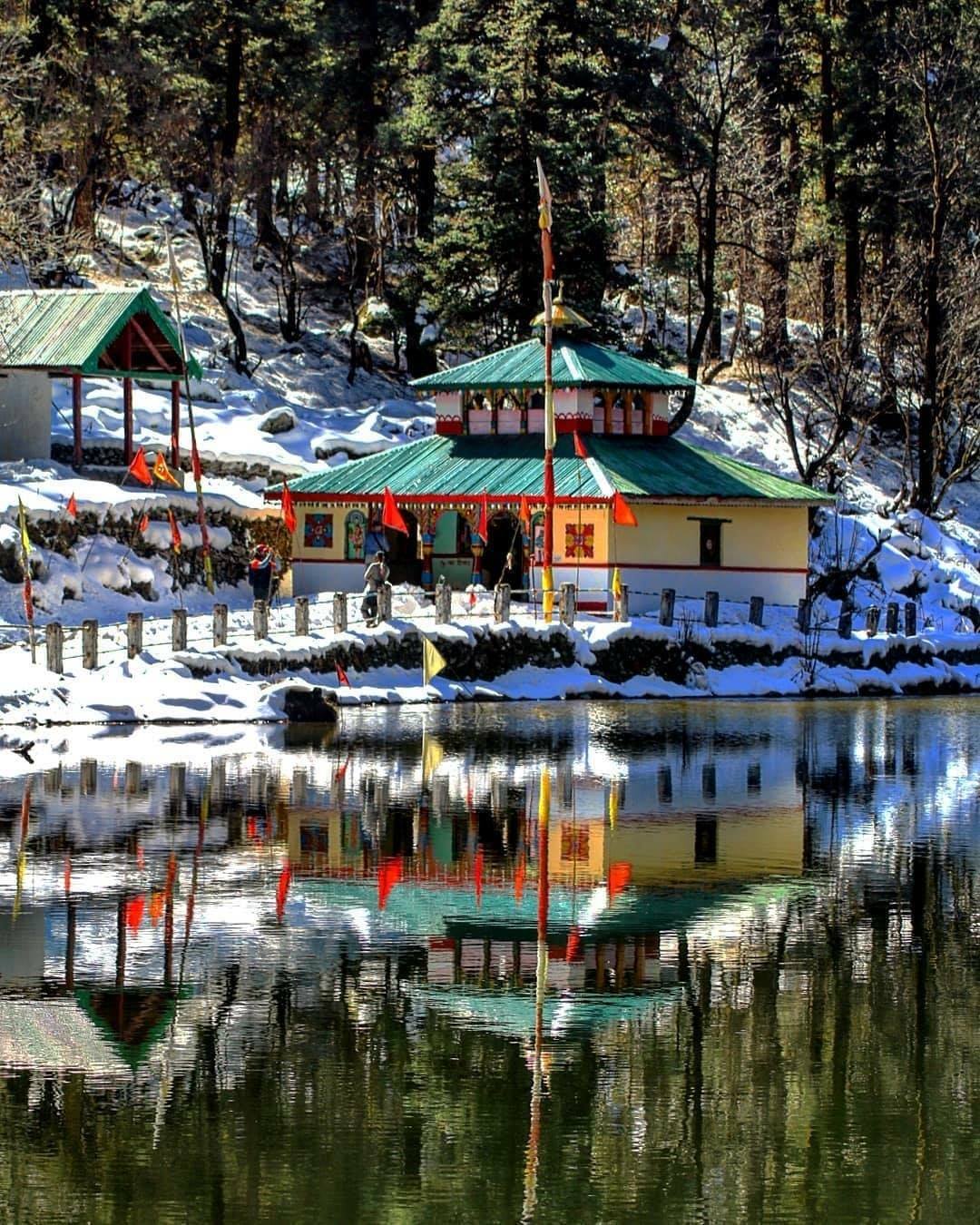
Jeolikot Temple: A local temple offering spiritual significance and views of the surrounding area.
Sattal: A group of seven interconnected lakes located about 21 km from Jeolikot, ideal for boating and bird-watching.
Nainital: The popular hill station, known for its picturesque lake and colonial architecture, is a short drive away from Jeolikot.
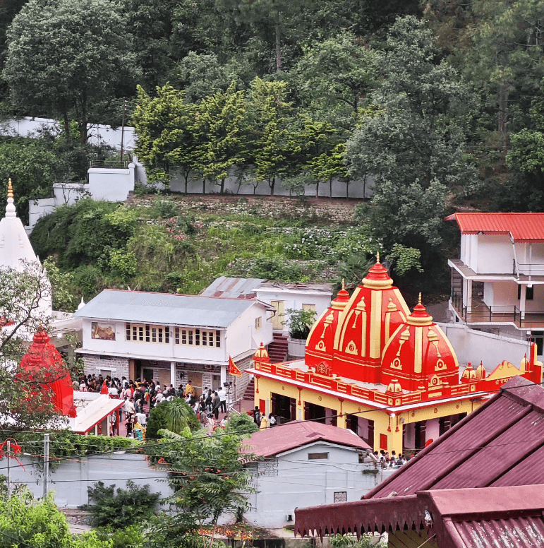
Kainchi Dham: A spiritual site about 16 km from Jeolikot, known for its ashram and serene surroundings.

7. Are there any nearby places to visit from Jeolikot?

Nainital: Known for its lake, mall road, and pleasant climate.
Ranikhet: A hill station known for its lush greenery and panoramic views.
Bhimtal: A town with a large lake, located about 22 km from Jeolikot, offering opportunities for boating and relaxation.

8. What are the local cuisines of Jeolikot?

Jeolikot offers traditional Kumaoni cuisine, which includes dishes such as Aloo ke Gutke (spiced potatoes), Bhatt ki Chudkani (black soybean curry), and Fanu (rice flour pancakes). You can find local eateries serving these dishes as well as other North Indian fare.

9. Is Jeolikot safe for tourists?

Yes, Jeolikot is generally safe for tourists. As with any travel destination, it’s important to follow standard safety precautions and be aware of your surroundings.

10. What is the local currency in Jeolikot?

The local currency is the Indian Rupee (INR).

Sitlakhet FAQs

  1. Where is Sitlakhet located?

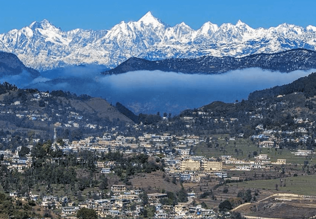
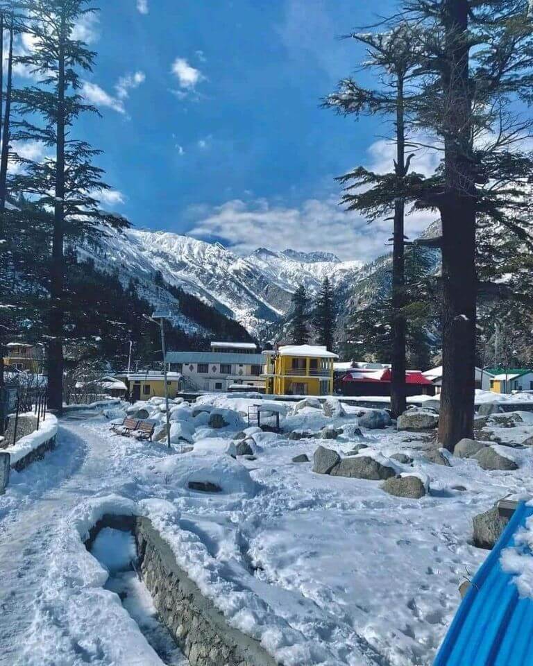
Sitlakhet is situated in the Almora district of Uttarakhand, India. It is positioned in the Kumaon region, offering beautiful views of the surrounding Himalayan ranges.

2. What is the best time to visit Sitlakhet?

The best time to visit Sitlakhet is from March to June and September to November. During these periods, the weather is pleasant and ideal for sightseeing and outdoor activities. Winter can be chilly, and heavy snowfall might occur from December to February.

3. What languages are spoken in Sitlakhet?

The primary languages spoken in Sitlakhet are Hindi and Kumaoni. English is also understood to some extent, particularly in areas frequented by tourists.

4. How can I reach Sitlakhet?

Sitlakhet is accessible by road from major cities in Uttarakhand. The nearest railway station is in Kathgodam, which is approximately 85 km away. Pantnagar Airport, about 100 km away, is the nearest airport.

5. Are there accommodations available in Sitlakhet?

Yes, Sitlakhet has several accommodation options, including hotels, guesthouses, and resorts. However, the range might be more limited compared to larger cities, so it’s a good idea to book in advance.

6. What are the main attractions in Sitlakhet?

Sitlakhet Temple: A local temple offering panoramic views of the surrounding landscape.
Kumaon Regimental Centre Museum: Located nearby in Almora, this museum provides insights into the history and culture of the Kumaon region.
Jageshwar Temples: A group of ancient temples situated about 36 km from Sitlakhet, known for their historical and architectural significance.
Ranikhet: A hill station located about 50 km from Sitlakhet, known for its lush greenery and pleasant climate.

7. Are there any nearby places to visit from Sitlakhet?

Almora: Known for its heritage, temples, and natural beauty.
Munsiyari: Famous for its scenic views and trekking opportunities.
Nainital: A popular hill station located further away but known for its picturesque lake and pleasant climate.

8. What are the local cuisines of Sitlakhet?

Sitlakhet offers traditional Kumaoni cuisine, including dishes like Aloo ke Gutke (spiced potatoes), Bhatt ki Chudkani (black soybean curry), and Fanu (rice flour pancakes). Local eateries and accommodations may serve these traditional foods.

9. Is Sitlakhet safe for tourists?

Yes, Sitlakhet is generally safe for tourists. However, as with any travel destination, it’s advisable to follow standard safety precautions and be aware of your surroundings.

Didihat FAQs

  1. Where is Didihat located?

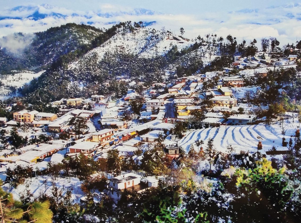
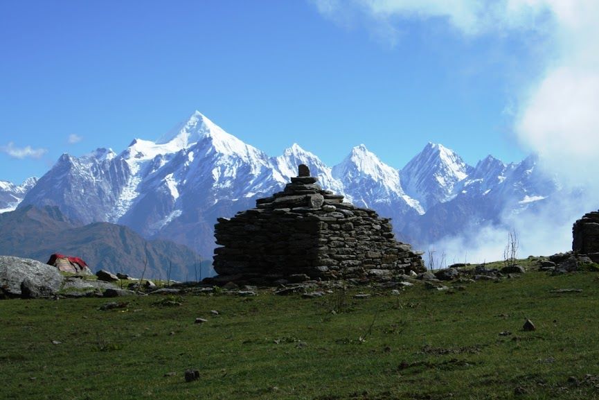
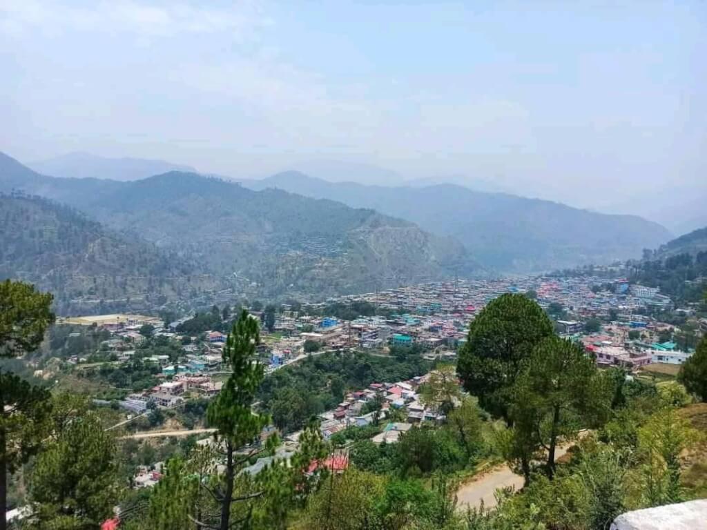
Didihat is situated in the Pithoragarh district in the northern state of Uttarakhand, India. It is a small town in the Kumaon region, near the Indo-Nepal border.

2. What is the best time to visit Didihat?

The best time to visit Didihat is from April to June and September to November. During these months, the weather is pleasant and suitable for sightseeing and outdoor activities. Winter can be cold, and heavy snowfall may occur from December to February.

3. What is the language spoken in Didihat?

The primary languages spoken in Didihat are Hindi and Kumaoni. English is also understood in some areas, especially in tourist spots.

4. How can I reach Didihat?

Didihat is accessible by road and is connected to major cities like Delhi, Nainital, and Haldwani. The nearest railway station is in Kathgodam, which is approximately 118 km away. The nearest airport is Pantnagar Airport, about 135 km from Didihat.

5. Are there accommodations available in Didihat?

Yes, Didihat offers various accommodation options, including hotels, guesthouses, and lodges. However, the range might be more limited compared to larger cities, so it’s advisable to book in advance.

6. What are the main attractions in Didihat?

Kafni Glacier: A beautiful glacier offering breathtaking views and trekking opportunities.
Askot Wildlife Sanctuary: Known for its rich flora and fauna, including various species of birds and animals.
Didihat Temple: A local religious site with cultural significance.
Jhulaghat: A scenic spot on the banks of the Kali River, known for its natural beauty.

7. Are there any nearby places to visit from Didihat?

Pithoragarh: Known for its historical and natural attractions.
Munsiyari: Famous for its picturesque landscapes and as a base for treks.
Nainital: A popular hill station located a bit farther away but worth the visit.

8. What is the local currency in Didihat?

The local currency is the Indian Rupee (INR).

9. What are the local cuisines of Didihat?

The local cuisine includes traditional Kumaoni dishes such as Aloo ke Gutke (potato curry), Bhatt ki Chudkani (black soybean dish), and Fanu (a type of pancake made from rice flour).

10. Is Didihat safe for tourists?

Yes, Didihat is generally safe for tourists. However, as with any travel destination, it’s advisable to follow standard safety precautions and be aware of your surroundings.

Khurpatal FAQs

1. What is Khurpatal?

Khurpatal is a small, serene village located in the Nainital district of Uttarakhand, India. It is known for its picturesque landscapes, calm environment, and proximity to Nainital, making it a popular destination for those seeking a tranquil retreat.

2. Where is Khurpatal located?

Khurpatal is situated about 12 kilometers from Nainital, in the Kumaon region of Uttarakhand. It is nestled in the foothills of the Himalayas, offering scenic views and a peaceful atmosphere.

3. How do I get to Khurpatal?
  • By Train: The nearest railway station is in Kathgodam, approximately 36 kilometers away. From Kathgodam, you can hire a taxi or take a bus to Khurpatal.
  • By Road: Khurpatal is accessible by road from Nainital, which is connected to major cities like Delhi and Dehradun. You can drive or hire a taxi from Nainital to Khurpatal.
  • By Air: The nearest airport is in Pantnagar, about 74 kilometers away. From the airport, you can travel by road to Khurpatal.
Sattal UTTARAKHAND SATTAL NAINITAL

Sattal

Sattal is a freshwater lake located in the Indian state of Uttarakhand, near the popular hill station of Nainital. The…

Naukuchiatal nainital Naukuchiatal

Naukuchiatal

Naukuchiatal is a picturesque lake located in the Indian state of Uttarakhand, specifically in the Nainital district. The name “Naukuchiatal”…

Bhimtal BHIMTAL

Bhimtal

Bhimtal is a picturesque town located in the Nainital district of the Indian state of Uttarakhand. It’s renowned for its…

Nainital Nainital

Nainital

Nainital is a popular hill station and tourist destination located in the Kumaon region of the Indian state of Uttarakhand….

4. What is the best time to visit Khurpatal?

The best time to visit Khurpatal is from March to June and from September to November. During these months, the weather is pleasant, making it ideal for sightseeing and outdoor activities. Winters can be cold, and the monsoon season may bring heavy rainfall, so it’s advisable to avoid these times if you prefer milder weather.

5. What are the main attractions in Khurpatal?
  • Khurpatal Lake: A beautiful, lesser-known lake surrounded by lush greenery and offering a tranquil setting for relaxation and picnicking.
  • Nature Walks: Explore the scenic beauty of the surrounding hills and forests through leisurely walks.
  • Bird Watching: The area is known for its diverse bird species, making it a great spot for bird enthusiasts.
6. What activities can I do in Khurpatal?
  • Nature Walks: Enjoy peaceful walks through the picturesque landscape and soak in the natural beauty.
  • Picnicking: Relax by Khurpatal Lake and have a picnic amidst serene surroundings.
  • Photography: Capture the stunning landscapes, including the lake, hills, and forests.
  • Bird Watching: Observe various bird species in their natural habitat.
7. Are there accommodation options in Khurpatal?
  • Guesthouses and Homestays: Experience local hospitality and enjoy a cozy stay with beautiful views.
  • Hotels and Resorts: Some hotels and resorts in and around Khurpatal provide comfortable stays with amenities and scenic views.
8. Is Khurpatal safe for tourists?

Yes, Khurpatal is generally considered safe for tourists. As with any travel destination, it’s advisable to follow basic safety precautions, such as securing your belongings and being mindful of local guidelines.

9. Are there local dining options in Khurpatal?

Dining options in Khurpatal are relatively limited, primarily available within guesthouses and hotels. For a wider variety of dining choices, you can visit Nainital, which is nearby and offers numerous restaurants and cafes.

10. Are there any nearby destinations to visit from Khurpatal?

Yes, several nearby destinations are worth exploring:

Ranikhet: A beautiful hill station with colonial charm and natural beauty, approximately 60 kilometers away.

Nainital: Explore attractions like Naini Lake, Naina Devi Temple, and Snow View Point.

Bhimtal: Known for its serene lake and surroundings, located about 20 kilometers from Khurpatal.

Peora FAQs

1. What is Peora?

Peora is a quaint village located in the Nainital district of Uttarakhand, India. It is known for its serene environment, scenic views, and charming rural ambiance, making it a popular destination for those seeking peace and tranquility.

2. Where is Peora located?

Peora is situated about 25 kilometers from Nainital, in the Kumaon region of Uttarakhand. It is nestled in the foothills of the Himalayas, offering picturesque views and a tranquil setting.

3. How do I get to Peora?
  • By Train: The nearest railway station is in Kathgodam, approximately 36 kilometers away. From Kathgodam, you can hire a taxi or take a bus to Peora.
  • By Road: Peora is accessible by road from Nainital, which is connected to major cities like Delhi and Dehradun. You can drive or hire a taxi from Nainital to reach Peora.
  • By Air: The nearest airport is in Pantnagar, about 74 kilometers away. From the airport, you can travel by road to Peora.
Khurpatal NAINITAL khurpatal

Khurpatal

Khurpatal is a small town located near Nainital in the Indian state of Uttarakhand. It is famous for its picturesque…

Sattal UTTARAKHAND SATTAL NAINITAL

Sattal

Sattal is a freshwater lake located in the Indian state of Uttarakhand, near the popular hill station of Nainital. The…

Naukuchiatal nainital Naukuchiatal

Naukuchiatal

Naukuchiatal is a picturesque lake located in the Indian state of Uttarakhand, specifically in the Nainital district. The name “Naukuchiatal”…

Mukteshwar Mukteshwar

Mukteshwar

Mukteshwar is a serene hill station located in the Nainital district of Uttarakhand, India. It’s renowned for its natural beauty,…

Bhimtal BHIMTAL

Bhimtal

Bhimtal is a picturesque town located in the Nainital district of the Indian state of Uttarakhand. It’s renowned for its…

Nainital Nainital

Nainital

Nainital is a popular hill station and tourist destination located in the Kumaon region of the Indian state of Uttarakhand….

4. What is the best time to visit Peora?

The best time to visit Peora is from March to June and from September to November. During these months, the weather is pleasant, ideal for exploring and enjoying outdoor activities. Winters can be cold, and the monsoon season may bring heavy rainfall, so it’s best to avoid these periods.

5. What are the main attractions in Peora?
  • Nature Walks and Hikes: Enjoy leisurely walks and hikes through the lush, green landscapes surrounding Peora.
  • Scenic Views: The village offers beautiful views of the Himalayas and verdant valleys.
  • Local Culture: Experience the traditional Kumaoni way of life and explore local markets and crafts.
6. What activities can I do in Peora?
  • Nature Walks: Explore the tranquil countryside and enjoy the fresh mountain air.
  • Photography: Capture the stunning landscapes, including the Himalayan backdrop and lush forests.
  • Relaxation: Enjoy the peaceful environment and unwind from city life.
  • Visit Local Villages: Discover the local culture and interact with the friendly villagers.
7. Are there accommodation options in Peora?
  • Guesthouses and Homestays: Enjoy a cozy stay with local hospitality and traditional Kumaoni experiences.
  • Hotels and Resorts: Some hotels and resorts provide comfortable stays with beautiful views of the surrounding area.
8. What should I bring when visiting Peora?

When visiting Peora, bring warm clothing, especially if traveling during the cooler months. Pack comfortable walking shoes for nature walks, and don’t forget essentials such as a camera, sunscreen, and personal items.

9. Is Peora safe for tourists?

Yes, Peora is generally considered safe for tourists. As with any travel destination, it’s advisable to follow basic safety precautions, such as securing your belongings and being mindful of local guidelines.

10. Are there local dining options in Peora?

Peora has limited dining options, primarily within guesthouses and homestays. For a wider variety of dining choices, you can visit nearby Nainital, which offers numerous restaurants and cafes.

11. Are there any nearby destinations to visit from Peora?

Ranikhet: A beautiful hill station with colonial charm and natural beauty, approximately 60 kilometers away.

Nainital: Enjoy attractions like Naini Lake, local markets, and scenic viewpoints.

Bhimtal: Known for its serene lake and surroundings, located about 30 kilometers from Peora.

Pangot FAQs

1. What is Pangot?

    Pangot is a picturesque hill station located in the Nainital district of Uttarakhand, India. It is known for its serene environment, lush green landscapes, and bird-watching opportunities.

    2. What is Pangot?Where is Pangot located?

    Pangot is situated about 15 kilometers from Nainital, a popular hill station in Uttarakhand. It is located in the Kumaon region of the state, nestled in the foothills of the Himalayas.

    Sattal UTTARAKHAND SATTAL NAINITAL

    Sattal

    Sattal is a freshwater lake located in the Indian state of Uttarakhand, near the popular hill station of Nainital. The…

    Naukuchiatal nainital Naukuchiatal

    Naukuchiatal

    Naukuchiatal is a picturesque lake located in the Indian state of Uttarakhand, specifically in the Nainital district. The name “Naukuchiatal”…

    Bhimtal BHIMTAL

    Bhimtal

    Bhimtal is a picturesque town located in the Nainital district of the Indian state of Uttarakhand. It’s renowned for its…

    Nainital Nainital

    Nainital

    Nainital is a popular hill station and tourist destination located in the Kumaon region of the Indian state of Uttarakhand….

    3. How do I get to Pangot?
    • By Train: The nearest railway station is in Kathgodam, about 34 kilometers away. From Kathgodam, you can hire a taxi or take a bus to Pangot.
    • By Road: Pangot is well-connected by road. It is accessible from Nainital, which is connected to major cities like Delhi and Dehradun via National Highway 109 (NH 109).
    • By Air: The nearest airport is in Pantnagar, approximately 71 kilometers away. From Pantnagar, you can travel by road to Pangot.
    4. What is the best time to visit Pangot?

    The best time to visit Pangot is from March to June and from September to December. During these months, the weather is pleasant and ideal for outdoor activities. Winters can be cold, and the monsoon season may bring heavy rains, so it’s best to avoid visiting during these times.

    5. What are the main attractions in Pangot?
    • Bird Watching: Pangot is renowned for its diverse bird species, including the Himalayan Monal, Koklass Pheasant, and several migratory birds.
    • Nature Walks and Treks: The area offers various nature trails and treks through the lush forested landscapes.
    • Kunjkharak Trek: A popular trek that provides stunning views of the surrounding hills and valleys.
    • Nainital: Being close to Nainital, visitors can also explore attractions like Naini Lake, Naina Devi Temple, and the Snow View Point.
    6. What activities can I do in Pangot?
    • Bird Watching: Pangot is a bird lover’s paradise, with opportunities to spot a wide variety of bird species.
    • Nature Walks and Hiking: Enjoy peaceful walks through the forest and explore the scenic beauty of the region.
    • Photography: The stunning landscapes and wildlife offer great opportunities for photography.
    • Relaxation: Enjoy the tranquil environment and relax away from the hustle and bustle of city life.
    7. Are there accommodation options in Pangot?

    Yes, Pangot offers various accommodation options, including:

    • Hotels and Resorts: There are several hotels and resorts providing comfortable stays with beautiful views.
    • Guesthouses and Homestays: For a more local experience, you can find guesthouses and homestays in and around Pangot.
    8. What should I bring when visiting Pangot?

    When visiting Pangot, bring warm clothing, especially if traveling during the cooler months. Also, pack comfortable walking shoes for nature walks and treks. Don’t forget essentials such as sunscreen, a camera, and any personal items you may need.

    9. Is Pangot safe for tourists?

    Yes, Pangot is generally considered safe for tourists. As always, it’s advisable to follow basic safety precautions, such as securing your belongings and being mindful of local guidelines.

    10. Are there any local dining options in Pangot?

    Pangot has a few local dining options, including restaurants and cafes at hotels and resorts. For a more extensive range of dining options, you can visit Nainital, which is nearby.

    11. Are there any nearby destinations to visit from Pangot?

    Ranikhet: A charming hill station known for its colonial architecture and natural beauty.

    Nainital: Explore the beautiful Naini Lake, local markets, and scenic viewpoints.

    Bhimtal: Known for its lake and serene environment, located about 22 kilometers from Pangot.

    Roorkee FAQs

    1. What is Roorkee?

    Roorkee is a city in the Haridwar district of Uttarakhand, India. It is known for its educational institutions, particularly the Indian Institute of Technology (IIT) Roorkee, one of the premier engineering institutes in India. Roorkee is also an important administrative and commercial center in the region.

    2. Where is Roorkee located?

    Roorkee is situated in the northern part of India, in the state of Uttarakhand. It is located approximately 30 kilometers south of Haridwar and around 170 kilometers north of Delhi.

    3. How do I get to Roorkee?
    • By Train: Roorkee has a railway station with connectivity to major cities like Delhi, Haridwar, and Dehradun.
    • By Road: Roorkee is accessible via National Highway 334 (NH 334), which connects it to major cities and towns in the region.
    • By Air: The nearest airport is in Dehradun (Jolly Grant Airport), about 70 kilometers away. From there, you can hire a taxi or take a bus to Roorkee.
    4. What are the main attractions in Roorkee?
    • Indian Institute of Technology (IIT) Roorkee: A prestigious engineering institution with a historic campus.
    • Roorkee Waterworks: An important historical site related to the development of water supply systems.
    • Barkot: A scenic village near Roorkee known for its natural beauty.
    • Piran Kaliyar Sharif: A revered Sufi shrine located a short distance from Roorkee.
    5. What is the best time to visit Roorkee?

    The best time to visit Roorkee is during the cooler months, from October to March, when the weather is pleasant and suitable for travel and exploration. Summers can be quite hot, and monsoons may bring heavy rains.

    7. What should I know about the local cuisine in Roorkee?

    Roorkee offers a variety of North Indian cuisine, including traditional dishes like parathas, chole bhature, and various street food items. Local eateries and restaurants serve a range of vegetarian and non-vegetarian options.

    8. Are there any shopping areas in Roorkee?

    Yes, Roorkee has several markets and shopping areas where you can buy local goods, clothing, and souvenirs. Popular areas include the main market and various shopping complexes.

    9.Is Roorkee safe for tourists?

    Roorkee is generally considered safe for tourists. However, as with any travel destination, it’s important to exercise standard precautions, such as being aware of your surroundings, securing your belongings, and following local advice.

    10. What should I bring when visiting Roorkee?

    When visiting Roorkee, it’s advisable to bring weather-appropriate clothing, especially if traveling during the hotter or cooler months. Other essentials include personal items, medication, and any necessary travel documents.

    11. Are there any nearby destinations to visit from Roorkee?
    • Haridwar: Known for its spiritual significance and the Ganga Aarti.
    • Rishikesh: Famous for its yoga and adventure sports.
    • Dehradun: The capital city of Uttarakhand, offering various attractions and natural beauty.

    Alkapuri Glacier FAQs

    1. What is Alkapuri Glacier?

    Alkapuri Glacier is a glacier located in the Indian state of Uttarakhand, near the Badrinath region in the Himalayas. It is known for its scenic beauty and as a source of the Alaknanda River, which is a major tributary of the Ganges.

    2. Why is Alkapuri Glacier significant?

    Alkapuri Glacier holds significant geographical and religious importance. It is considered sacred in Hinduism, particularly because the Alaknanda River, which originates from this glacier, is revered as a holy river. The glacier also plays a crucial role in the ecology and hydrology of the region.

    3. Where is Alkapuri Glacier located?

    Alkapuri Glacier is situated in the northern part of Uttarakhand, near the town of Badrinath. It is located in the remote and rugged terrain of the Himalayas, making it a challenging but rewarding destination for trekkers and nature enthusiasts.

    4. How do I get to Alkapuri Glacier?

    To reach Alkapuri Glacier, you first need to travel to Badrinath, which is accessible by road from major cities like Haridwar and Rishikesh. From Badrinath, a trek is required to reach the glacier. The trek can be demanding and may require a guide or local support due to the challenging terrain and high altitude.

    5. What can I do at Alkapuri Glacier?

    Visitors to Alkapuri Glacier can enjoy trekking, mountaineering, and exploring the pristine natural environment. The glacier offers stunning views of the surrounding peaks and valleys, making it a popular spot for nature lovers and adventure seekers.

    6. Are there any rituals or practices associated with Alkapuri Glacier?

    The glacier is considered sacred, and some pilgrims and devotees may perform rituals or offer prayers here. It is also part of the traditional Char Dham pilgrimage circuit, where visitors pay homage to the holy rivers originating from the glacier.

    7. Is there any entry fee for visiting Alkapuri Glacier?

    There is generally no entry fee for visiting Alkapuri Glacier. However, there may be costs associated with trekking permits, guide services, and other logistical arrangements. It is advisable to check with local authorities or trekking agencies for the latest information.

    8. What is the best time to visit Alkapuri Glacier?

    The best time to visit Alkapuri Glacier is during the summer months, from May to October. During this period, the weather is relatively favorable, and the trekking conditions are more manageable. The glacier may be inaccessible during the winter months due to heavy snowfall and extreme cold.

    9. What should I bring when visiting Alkapuri Glacier?

    When visiting Alkapuri Glacier, bring appropriate trekking gear, warm clothing, sturdy hiking boots, and essential supplies such as food, water, and first-aid items. Additionally, carry necessary permits and documentation if required.

    10. Are there accommodations near Alkapuri Glacier?

    Accommodations are available in Badrinath, where you can stay before and after your trek to the glacier. Badrinath offers a range of lodging options, including budget and mid-range hotels. The area around the glacier itself does not have established accommodations, so trekking and camping arrangements need to be made in advance.

    11. Are permits or special permissions required for visiting Alkapuri Glacier?

    Yes, permits or special permissions might be required for trekking in the region, especially in protected or restricted areas. It’s important to obtain necessary permits from local authorities or trekking agencies before embarking on your journey.

    Gagesha cave FAQs

    1. What is Gagesha Cave?

    Gagesha Cave is a sacred cave situated near the town of Badrinath, in the Chamoli district of Uttarakhand. It is associated with various legends and spiritual practices in Hinduism.

    2. Why is Gagesha Cave significant?

    Gagesha Cave is significant for its historical and spiritual importance. It is believed to be a place where ancient sages meditated and practiced spirituality. The cave is also linked with the legend of Sage Gagesha, who is said to have performed intense penance here.

    3. Where is Gagesha Cave located?

    Gagesha Cave is located in the Himalayan region near Badrinath. It is situated at a high altitude, making it a part of the scenic and spiritual landscape of the Badrinath area.

    4. How do I get to Gagesha Cave?

    To reach Gagesha Cave, you first need to travel to Badrinath, which is accessible by road from major cities like Haridwar and Rishikesh. From Badrinath, the cave is accessible via a trek. It’s advisable to hire a local guide or check with local authorities for precise directions and trekking routes.

    5. What can I do at Gagesha Cave?

    Visitors to Gagesha Cave can explore the cave, offer prayers, and engage in meditation. The serene environment of the cave offers a peaceful setting for reflection and spiritual practice.

    6. Are there any rituals or practices associated with Gagesha Cave?

    The cave is considered a sacred site for meditation and prayer. Devotees may perform personal rituals or offer prayers while visiting the cave. Local traditions and practices can vary, so it’s helpful to inquire locally for specific customs.

    7. Is there any entry fee for visiting Gagesha Cave?

    There is generally no entry fee for visiting Gagesha Cave. However, it’s a good idea to check for any updates or local regulations regarding access or donations.

    8. What is the best time to visit Gagesha Cave?

    The best time to visit is during the summer months from May to October, when the weather is more favorable for trekking and exploration. The cave may be inaccessible during the winter due to snow and extreme weather conditions.

    9. What should I bring when visiting Gagesha Cave?

    Bring appropriate trekking gear, warm clothing, comfortable shoes, and any personal items you may need. Also, carry food and water, as amenities might be limited.

    10. Are there accommodations near Gagesha Cave?

    Accommodations are available in Badrinath, where you can stay and then make the trek to the cave. Badrinath offers various lodging options, from budget to luxury hotels.

    Narad Kund FAQs

    1. What is Narad Kund?

    Narad Kund is a sacred pond located in the town of Badrinath in Uttarakhand, India. It is an important site for Hindu pilgrims visiting the Badrinath Temple, one of the Char Dham pilgrimage destinations. The pond is named after the sage Narada, a revered figure in Hindu mythology.

    2. Why is Narad Kund significant?

    Narad Kund is considered highly sacred and is associated with various legends and traditions. It is believed that the water in the pond is blessed and that taking a dip here can cleanse one of sins. The pond is also linked to the legend of sage Narada, who is said to have worshipped Lord Vishnu at this site.

    3. Where is Narad Kund located?

    Narad Kund is situated in Badrinath, which is in the Chamoli district of Uttarakhand, India. It is situated near the Badrinath Temple, which is located in the Himalayas at an altitude of around 3,133 meters (10,279 feet).

    4. How do I get to Narad Kund?

    To reach Narad Kund, you typically travel to Badrinath first. Badrinath is accessible by road from major cities like Haridwar and Rishikesh. From Badrinath Temple, Narad Kund is a short walk. Pilgrims often visit Narad Kund as part of their visit to the Badrinath Temple.

    5. What can I do at Narad Kund?

    Visitors to Narad Kund often take a ritual bath in its sacred waters, which is believed to purify the soul. The pond is also a place for reflection and spiritual practice. It is a serene spot where pilgrims can meditate and offer prayers.

    6. Are there any rituals or practices associated with Narad Kund?

    Yes, there are several rituals associated with Narad Kund. Pilgrims usually perform a dip in the pond before proceeding to the Badrinath Temple. Some devotees also conduct specific pujas or ceremonies here as part of their spiritual practices.

    7. What is the best time to visit Narad Kund?

    The best time to visit Narad Kund is during the summer months, from May to October, when the weather is relatively pleasant. The region is closed during the winter months due to heavy snowfall and extreme cold.

    8. What should I bring when visiting Narad Kund?

    When visiting Narad Kund, it’s advisable to bring warm clothing, especially if visiting during cooler months, comfortable walking shoes, and any necessary personal items.

    9. Are there accommodations near Narad Kund?

    Yes, Badrinath has several accommodations ranging from budget to luxury hotels. It’s advisable to book your stay in advance, especially during the peak pilgrimage season.

    Contact Us