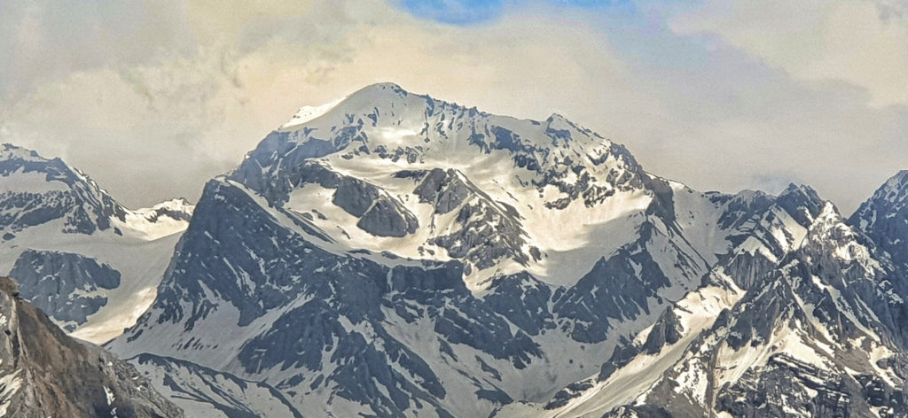
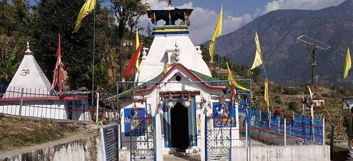
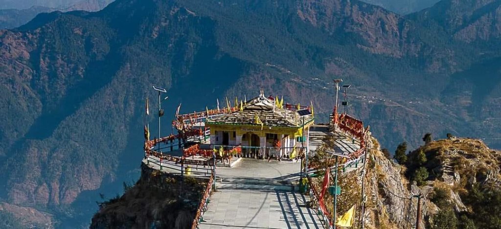
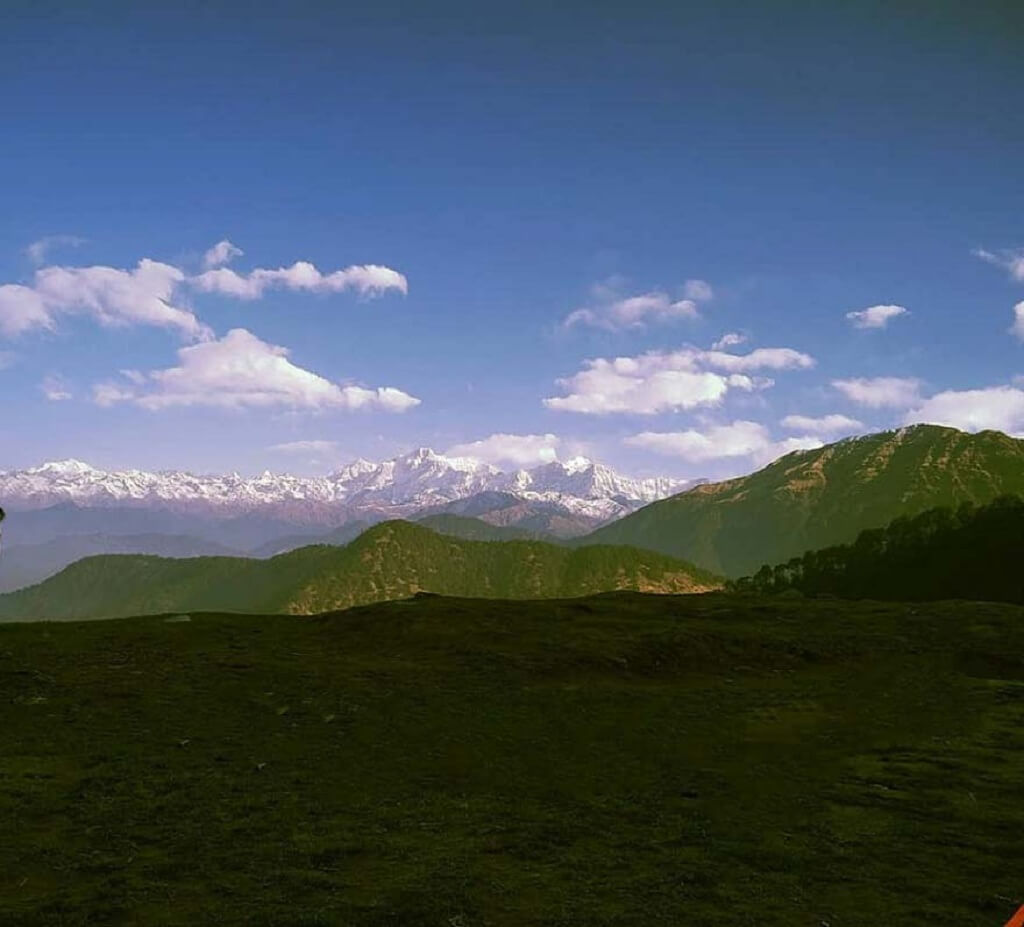
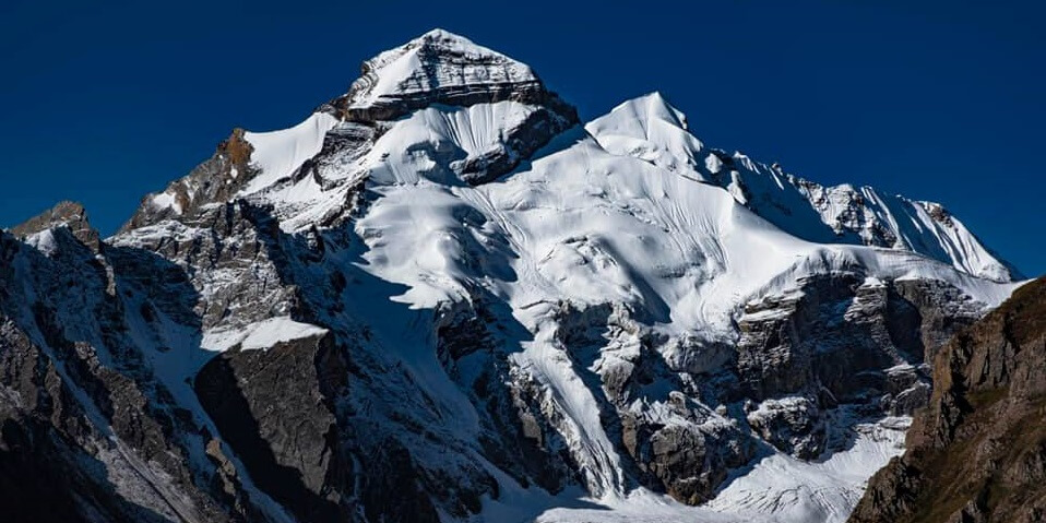
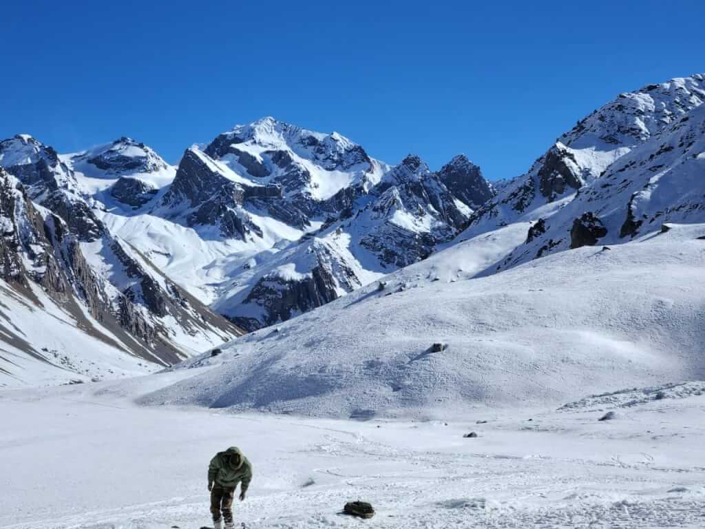
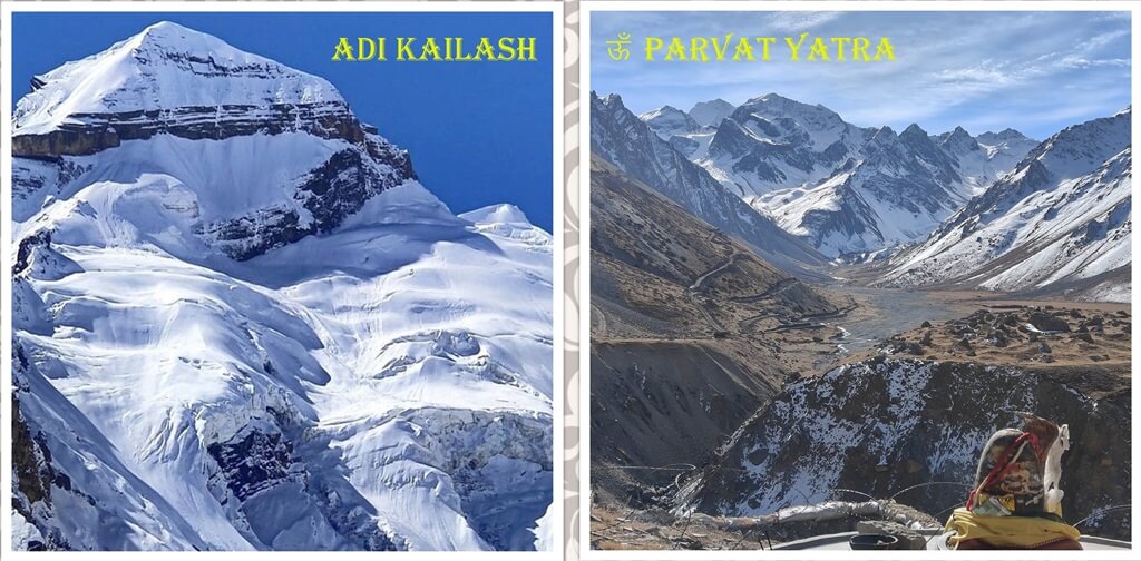
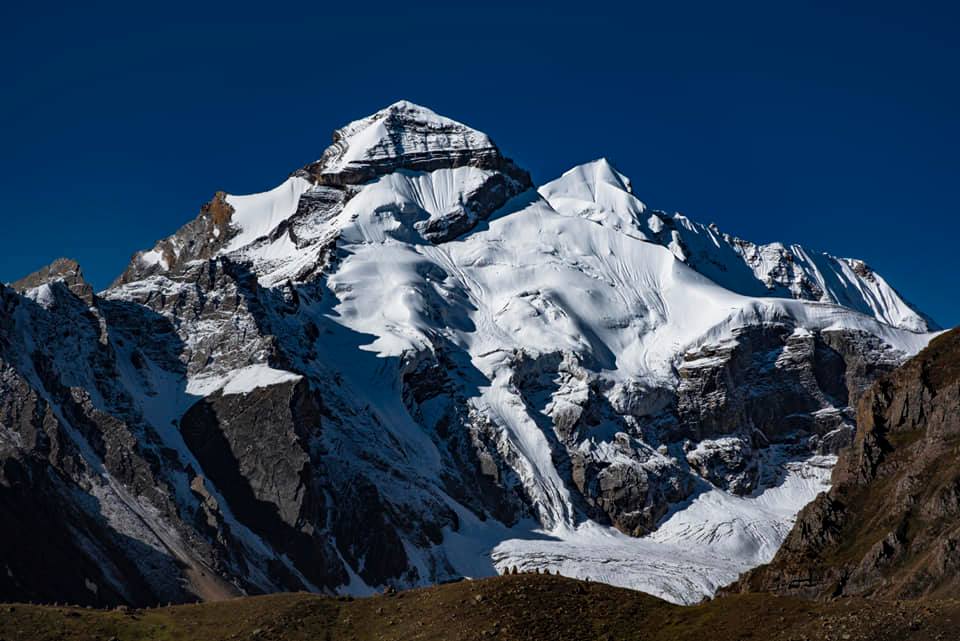
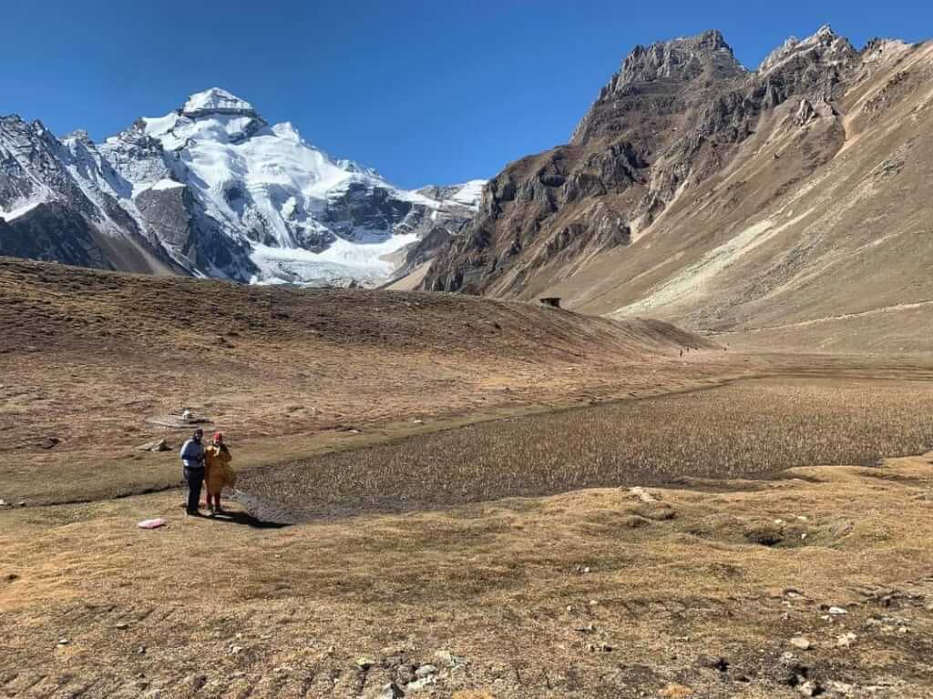
Adi Kailash, also known as Chhota Kailash, is a sacred mountain located in the Indian state of Uttarakhand. Standing tall at an elevation of approximately 6191 meters, it holds immense religious significance, believed by many to be the earthly embodiment of Lord Shiva. This majestic peak is part of the Kailash mountain range, situated near the Indo-Tibetan border. The journey to Adi Kailash takes pilgrims through picturesque landscapes, quaint villages like Kutty, and serene valleys. The mountain is revered for its spiritual aura and is a popular destination for devotees and trekkers alike. The trek to Adi Kailash is challenging but rewarding, offering breathtaking views of the surrounding Himalayan peaks, lush meadows, and pristine lakes.
| Location | Dahrchula (Phithoragarh) |
| Famous For | Adi Kailash/ Om Parvat Yatra |
| Altitude | 19505 Ft |
History of Adi Kailash
In the past, pilgrims on the Adi Kailash and Om Parvat Yatra faced a challenging 198-kilometer trek. Fortunately, the government has now established a new road in the region, reducing the optional trekking distance to just 2-7 kilometers. However, beyond Dharchula, the roads are rough, requiring travel in local vehicles like Bolero or Bolero Camper for a smoother journey. This improved accessibility has made the Adi Kailash Yatra more feasible and convenient for pilgrims, allowing them to undertake this sacred pilgrimage with greater ease and comfort.
Mythology about Adi Kailash
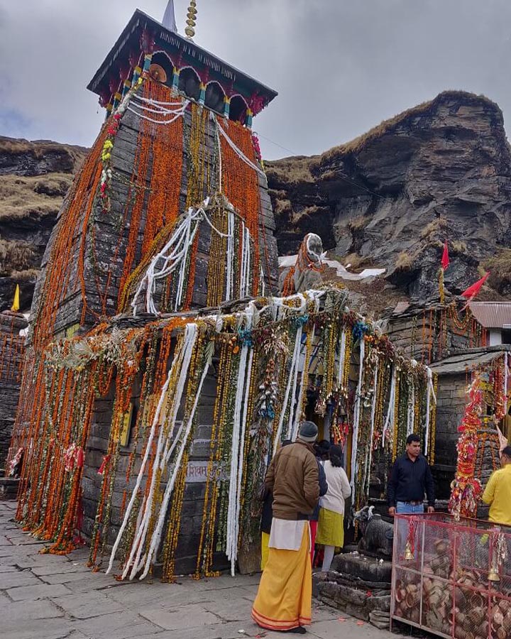
Adi Kailash stands as one of India’s holiest mountains, cherished for its spiritual significance and scenic allure. In Hindu mythology, it is believed to be the dwelling place of Lord Shiva, along with his companion Parvati, and their children Ganpati and Kartikey. This makes the Adi Kailash mountain range an exceptionally sacred destination, revered by Hindus worldwide for its profound religious importance. The awe-inspiring landscapes and divine aura of Adi Kailash make it a place of worship and pilgrimage, attracting devotees seeking spiritual blessings and a connection with the divine amidst the breathtaking beauty of the mountains.
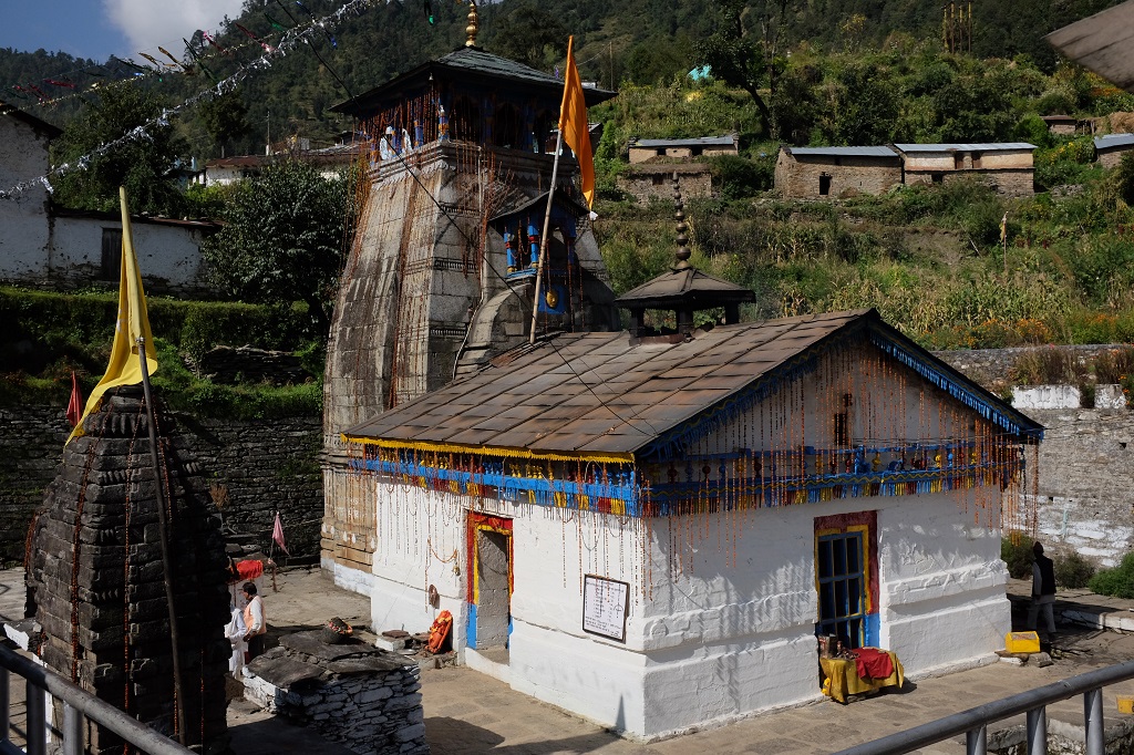
Near Place to Visit

How To Reach Sankri
Sankri is a picturesque village located in the Uttarkashi district of the Indian state of Uttarakhand. It serves as a…
Pithoragarh
Pithoragarh is a district located in the northern state of Uttarakhand, India. It is situated in the Kumaon region and…
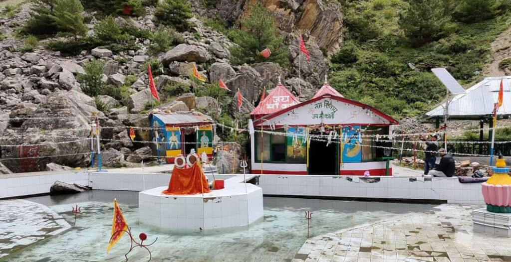
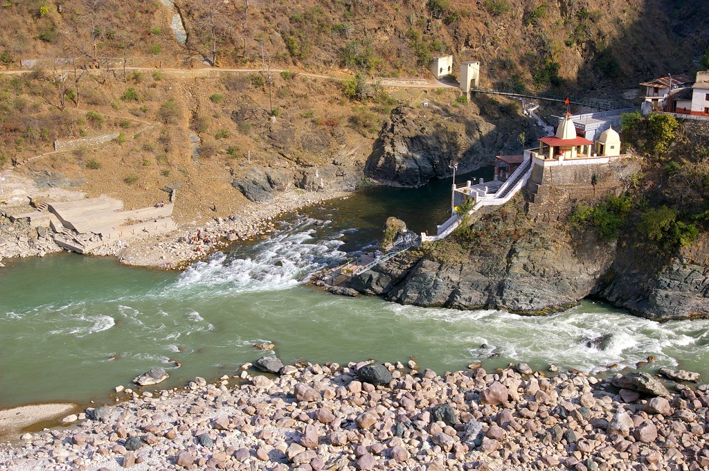
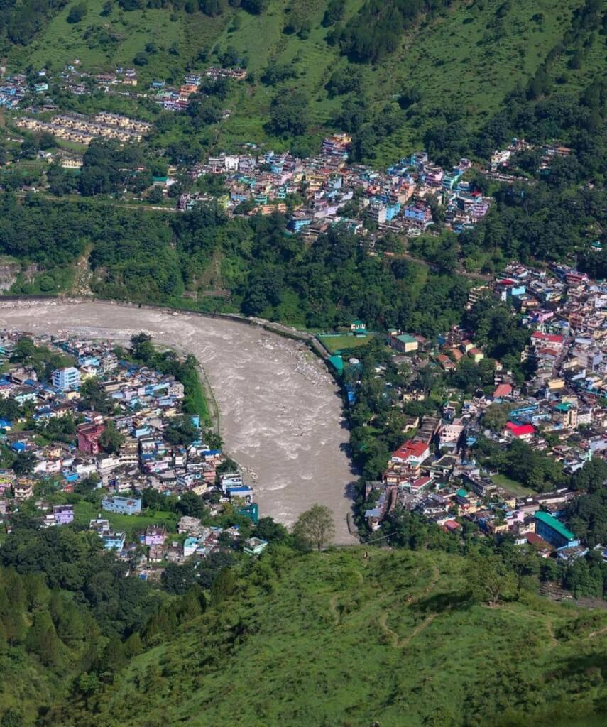
Kalapani :- The Source of Kali River
Kalapani is a blossoming valley situated at an altitude of 3600 meters, under the administration of the Pithoragarh district in…
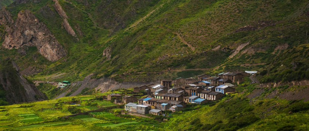
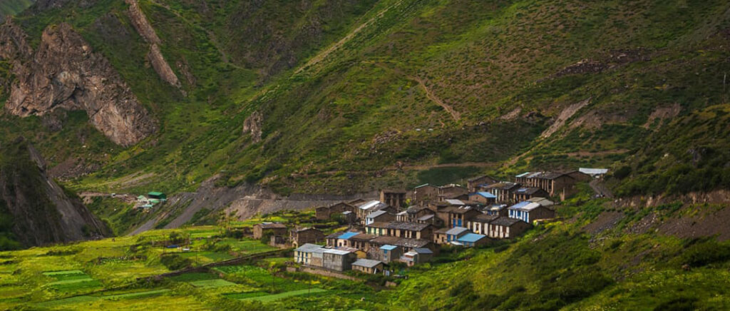
Gunji Village
Gunji, a quaint village nestled in Uttarakhand, India, lies in proximity to the borders of Tibet and Nepal. Although administered…
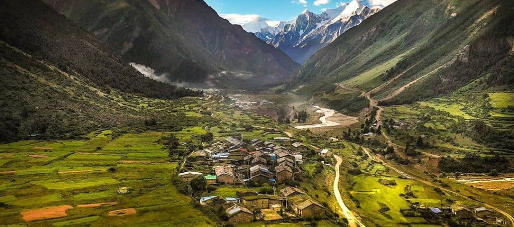
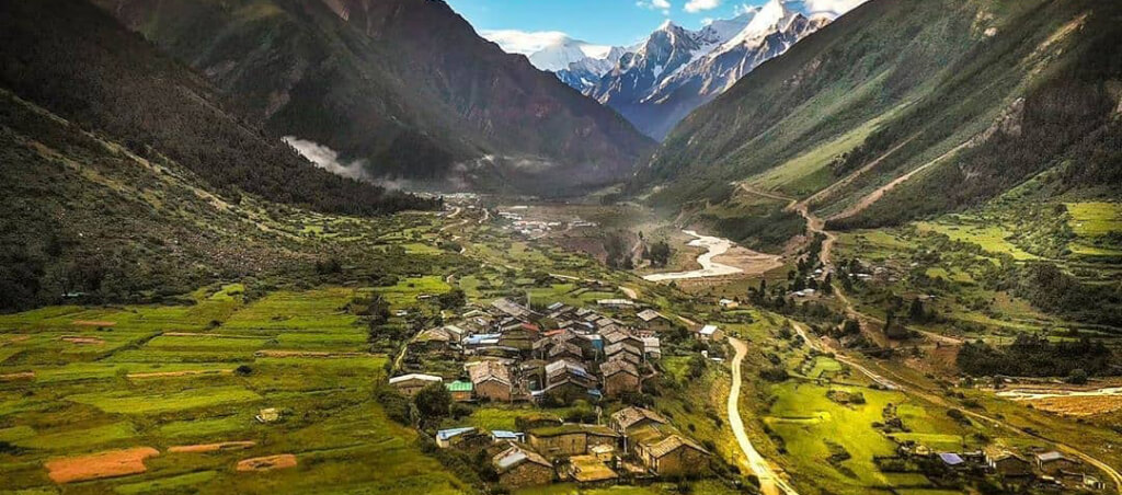
Kuti Village
Kuti Village, nestled in the picturesque Kuti Valley near Pithoragarh in Uttarakhand, India, is a remote Himalayan settlement. Surrounded by…
How To Reach Sankri
Sankri is a picturesque village located in the Uttarkashi district of the Indian state of Uttarakhand. It serves as a
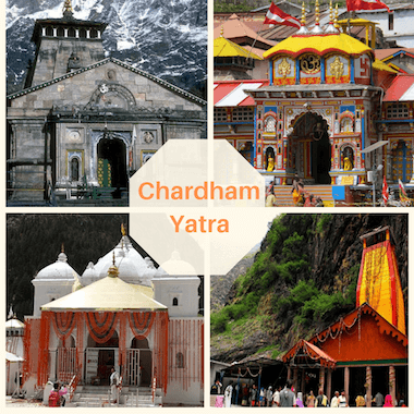
A Complete Guide to Adi Kailash Yatra
Where is Adi Kailash or Om Parvat Why are Adi Kailash, important pilgrimages? The significance of Adi Kailash for the Rung community
Adi Kailash Yatra Package
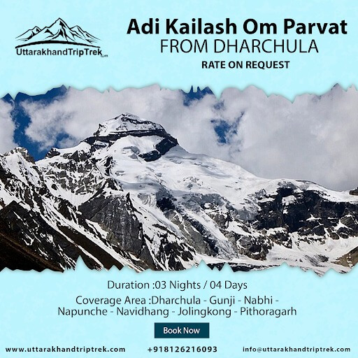
How to Reach Dharchula
By Road
* Joshimath is well-connected by roads to major cities like Rishikesh, Haridwar, and Dehradun.
* Buses and taxis are available from these.
By Train
*The nearest railway station to Joshimath is Rishikesh railway station, which is around 250 kilometers away.
* From Rishikesh, you can hire a taxi or take a bus .
By Air
* The nearest airport to Joshimath is Jolly Grant Airport in Dehradun,
* which is approximately 270 kilometers away. From there,
*you can hire a taxi or take a bus to reach There
Best Time to Visit Adi Kailash or Om Parvat
The best time for the Adi Kailash and Om Parvat Yatra is during the summer months, typically from late May to early October. During this period, the weather is relatively mild and favorable for trekking and pilgrimage activities. Click here to Know Complete Detail
Popular Reads
How To Reach Sankri
Sankri is a picturesque village located in the Uttarkashi district of the Indian state of Uttarakhand. It serves as a…
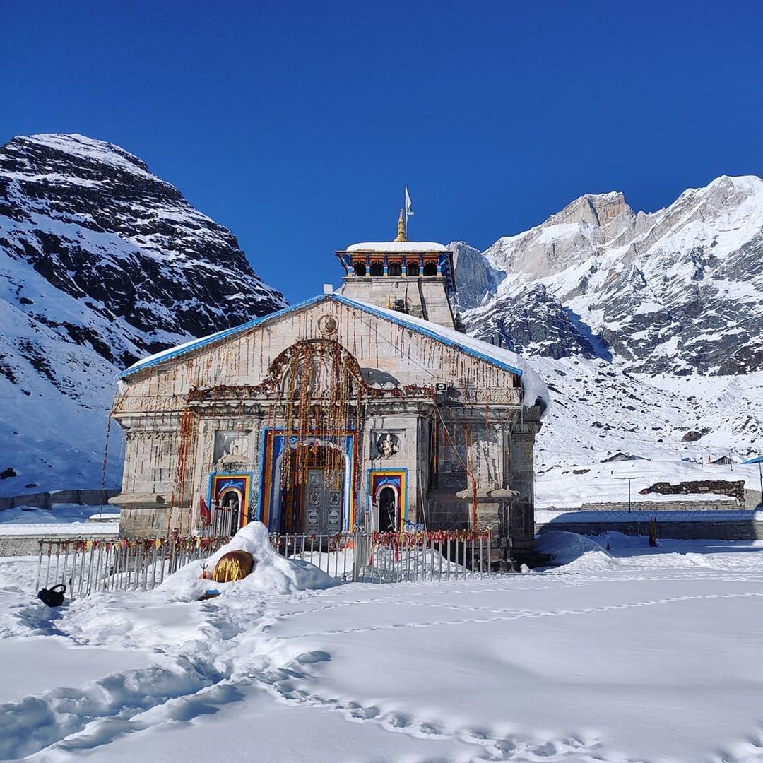
Adi Kailash Weather
Adi Kailash, also known as Chota Kailash, is a renowned pilgrimage destination, drawing tourists and devotees of Lord Shiva. The…
How To Reach Sankri
Sankri is a picturesque village located in the Uttarkashi district of the Indian state of Uttarakhand. It serves as a…
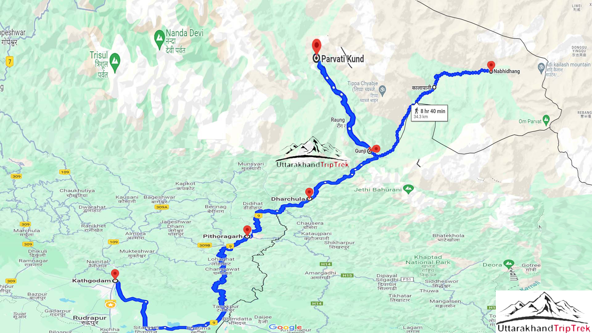
Adi Kailash Route Map
Adi Kailash, is revered for its spiritual significance, with the route showcasing the natural beauty and cultural heritage of this…
Frequently Asked Question
1. How to reach Adi Kailash?
The journey to Adi Kailash usually involves trekking and starts from locations like Dharchula. The trek passes through picturesque landscapes, offering a challenging yet rewarding experience.
2. What is the significance of Om Parvat?
Om Parvat is named for the naturally occurring ‘OM’ symbol on its south face. Many pilgrims believe it to be a divine manifestation and undertake the trek for spiritual reasons.
3. When is the best time to visit Adi Kailash?
The best time to visit Adi Kailash is during the summer months (May to June) when the weather is relatively mild, and the snow has melted, making the trek more accessible.
4. How much time does it take to complete the Adi Kailash and Om Parvat Yatra?
Previously, the entire Adi Kailash Yatra covering about 200 km was done on foot, taking approximately 18 days to complete. Now, with the development of motorable roads, the total time to finish the Adi Kailash and Om Parvat Yatra by road is 7 nights and 8 days (from Kathgodam to Kathgodam).
5. Can a foreign citizen visit Adi Kailash Om Parvat?
Only Indians allowed to visit Adi Kailash & Om Parvat, NRI & foreign nationals restricted.