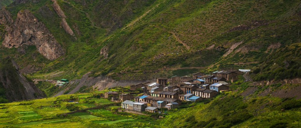
Kashipur

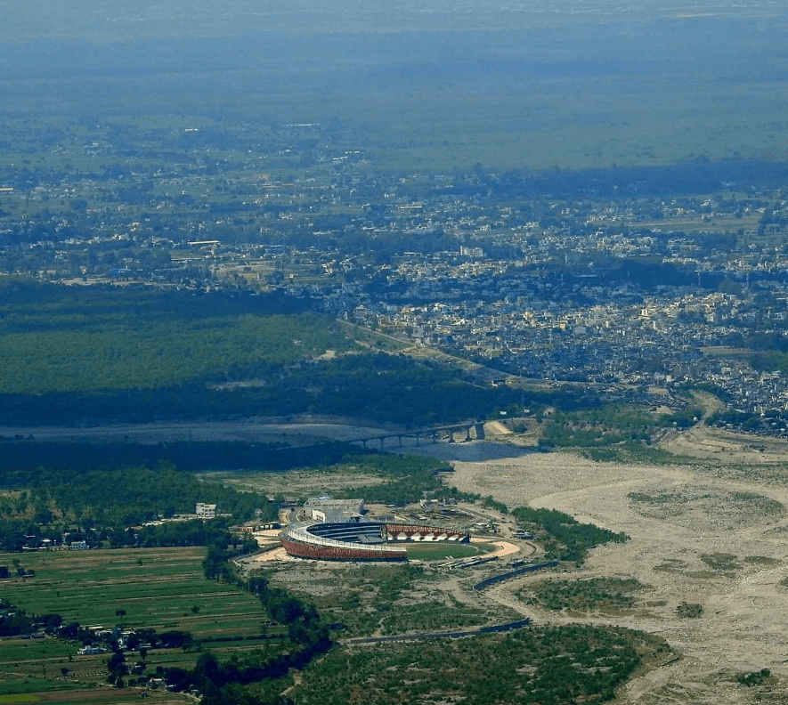
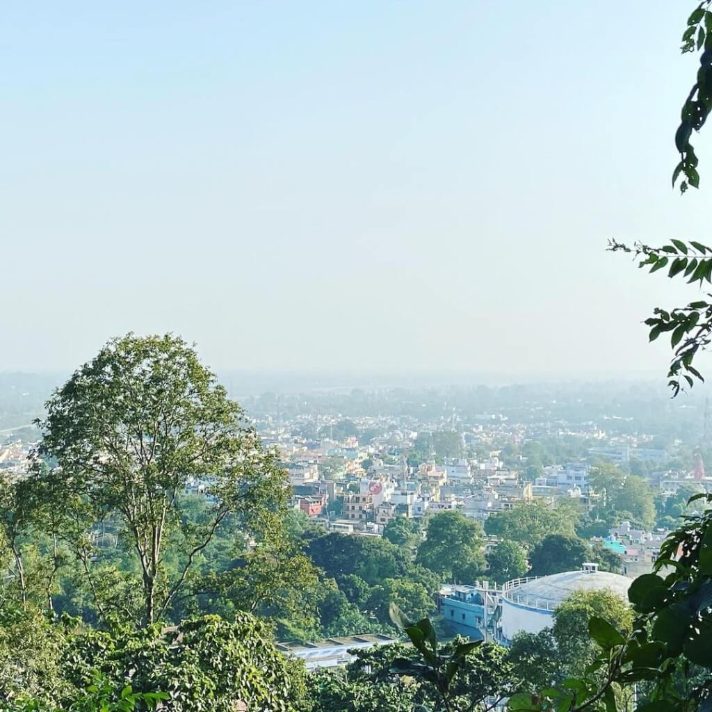
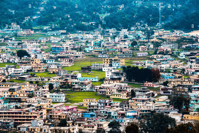
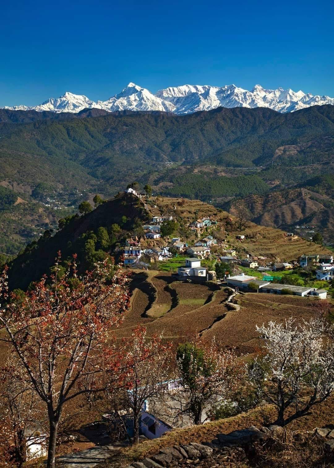
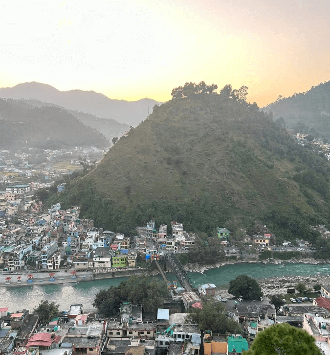
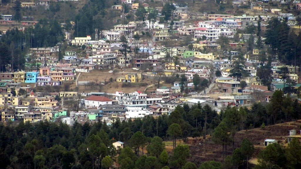
Kashipur is a city located in the Udham Singh Nagar district of the Indian state of Uttarakhand. It is situated in the Terai region, which is known for its fertile plains and abundant agricultural activities. Kashipur has a rich historical and cultural heritage, with references dating back to ancient times.
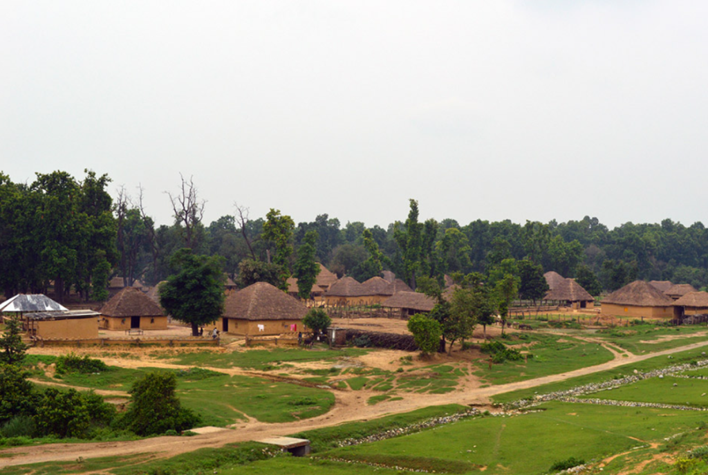
Kashipur Industrial Hub In Uttarakhand

Kashipur, once a small town, is rapidly transforming into a significant industrial hub in Uttarakhand. Major industrial players like India Glycols Ltd, HCL, Videocon, and GAMA IFRAPROP Private Ltd. have established their presence in the city. Additionally, Kashipur boasts a 225MW Power Plant along with paper mills and sugar mills, contributing to its industrial prowess.
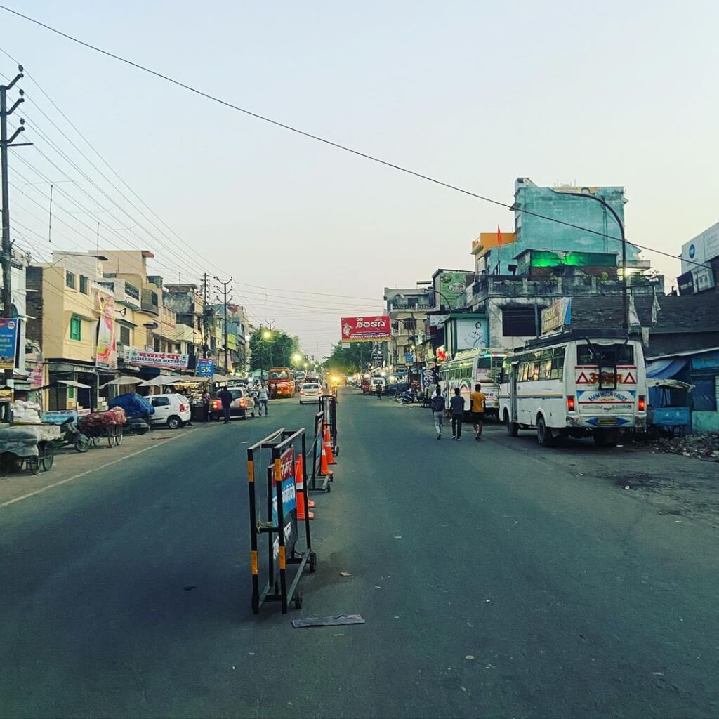
Economically, Kashipur is primarily driven by agriculture and industry. It has several industrial estates and is home to various manufacturing units, including those for automobiles, textiles, and paper. The presence of industries has contributed to the city’s growth and development.
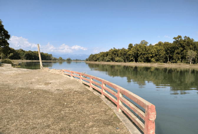
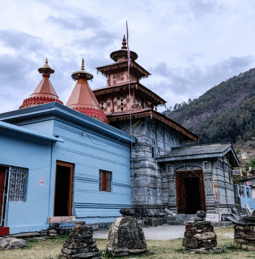
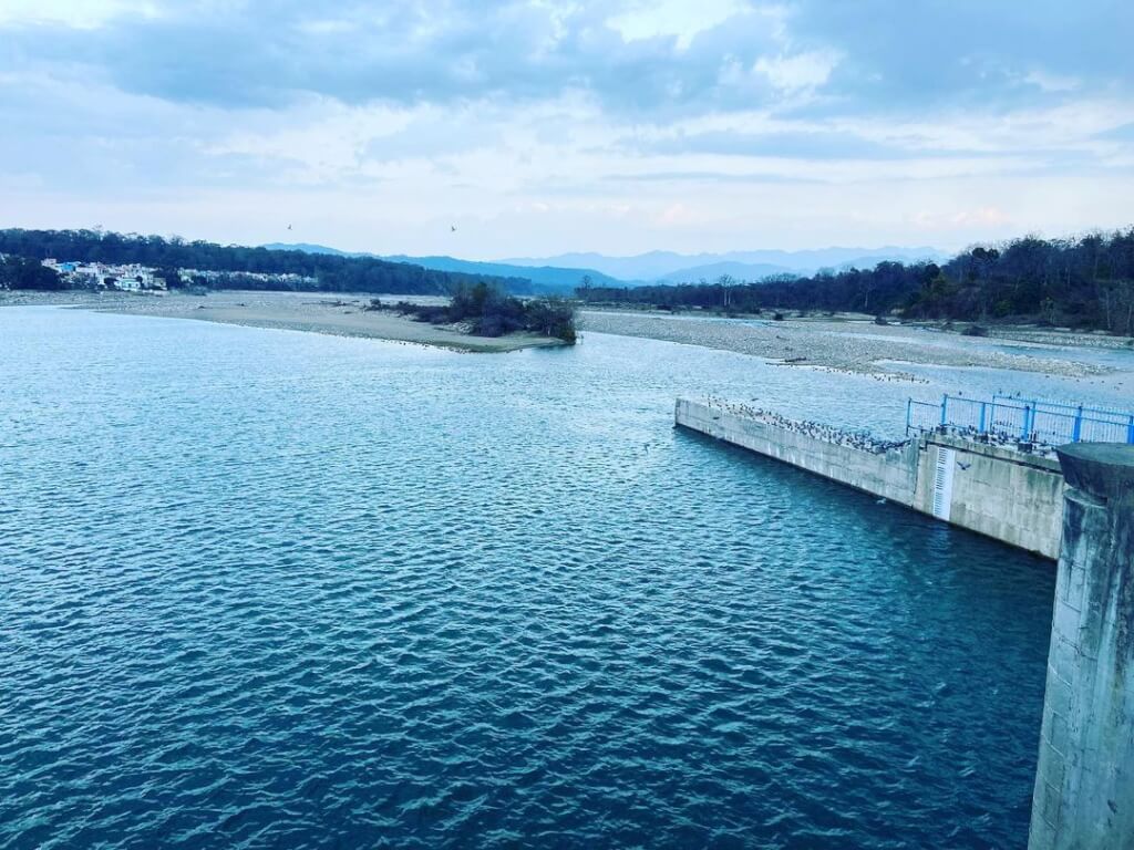
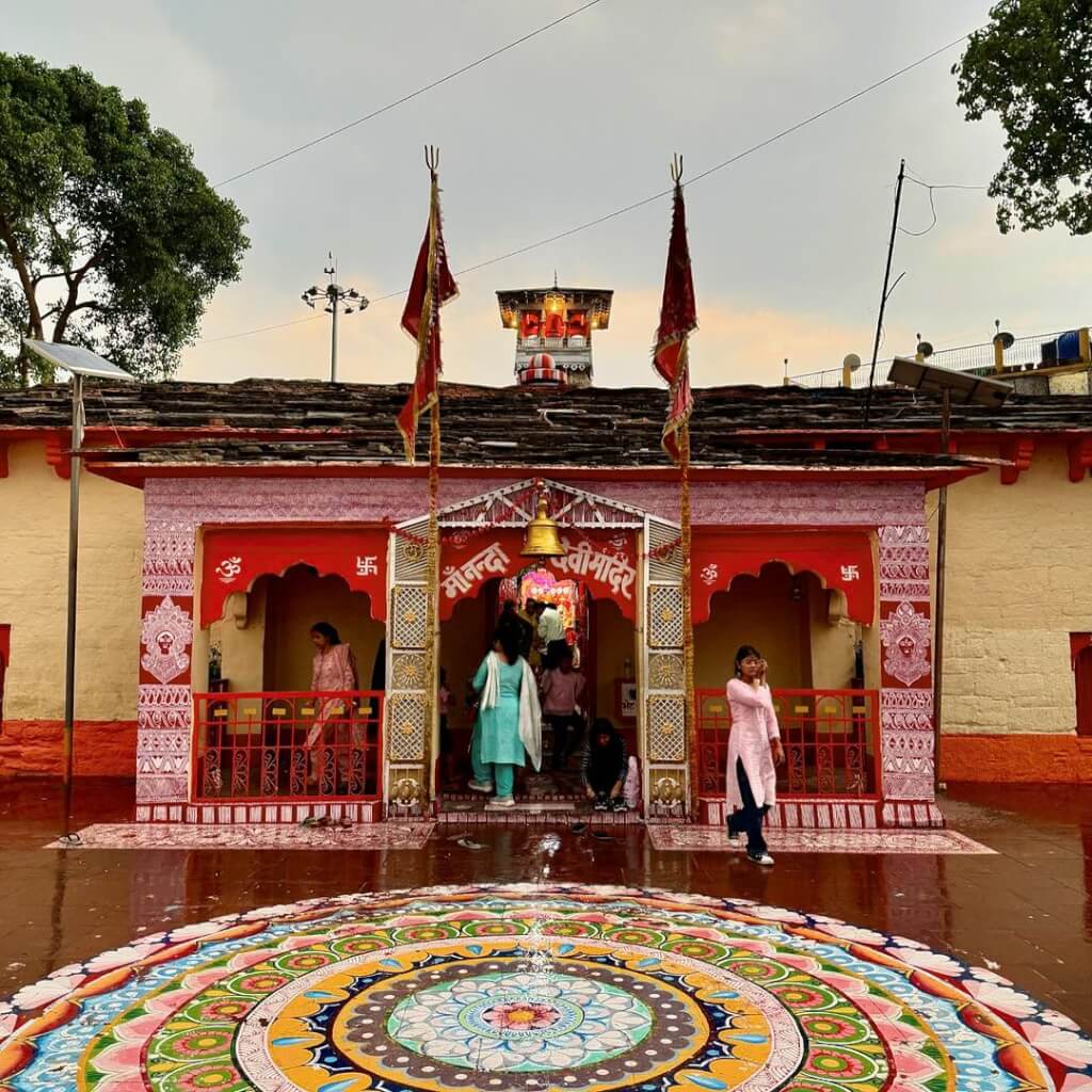
In terms of attractions, Kashipur offers a mix of natural beauty and religious sites. The region is surrounded by lush greenery, making it a picturesque destination for nature lovers. Additionally, there are temples and religious shrines in and around Kashipur, such as the Drona Sagar Lake, which is associated with Hindu mythology.

Overall, Kashipur serves as an important commercial and cultural hub in Uttarakhand, attracting visitors for both business and tourism purposes.

History Of Kashipur

Kashipur is a town located in the Udham Singh Nagar district in the state of Uttarakhand, India. Its history dates back to ancient times when it was a part of the ancient kingdom of Kumaon. The region has seen the rule of various dynasties, including the Katyuri dynasty and the Chand dynasty, who contributed to its cultural and architectural heritage. During the medieval period, Kashipur came under the influence of the Mughal Empire and later the British Raj. It was an important center for trade and commerce due to its strategic location on the trade routes connecting the plains of northern India with the Himalayan region.

Mythology About Kashipur

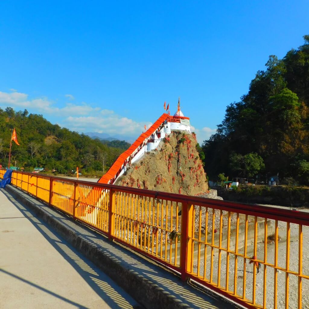
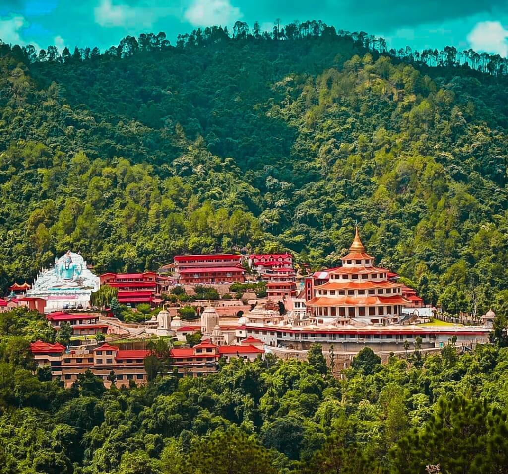
Kashipur is also associated with Hindu mythology, particularly the epic Ramayana. According to legend, it is believed to be the place where Lord Rama, the seventh incarnation of Lord Vishnu, along with his wife Sita and brother Lakshmana, spent some time during their exile in the forest. There are several temples and sacred sites in and around Kashipur that are associated with the Ramayana and attract devotees from far and wide.One of the most famous temples in Kashipur is the Drona Sagar Lake, believed to be the spot where Rama’s guru, Rishi Dronacharya, had his ashram. The town also has other temples dedicated to various Hindu deities, adding to its religious significance.

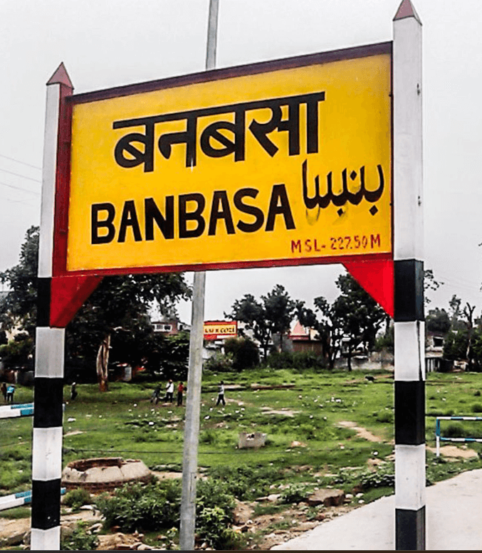
Banbasa uttarakhand banbasa

Banbasa

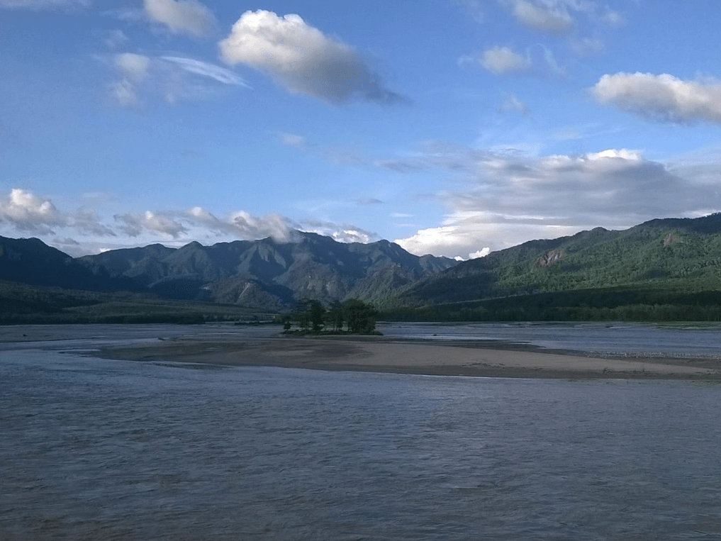
Banbasa is a town located in the Champawat district of the Indian state of Uttarakhand. It is situated near the…

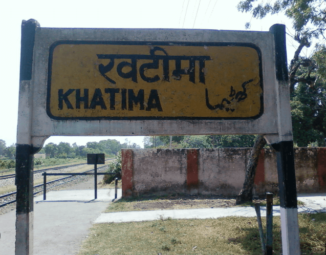
Khatima KHATIMA USN

Khatima

Khatima, located in the Udham Singh Nagar district of Uttarakhand, holds significant importance as a business hub in the Kumaon…

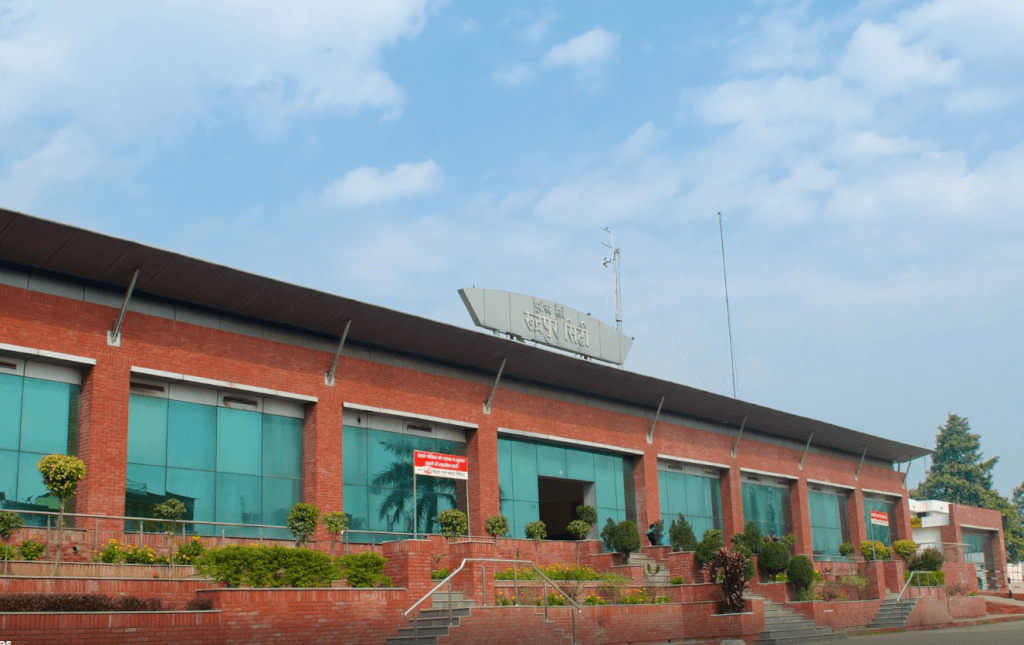
Rudrapur rudrapur city

Rudrapur

Rudrapur, originally established as a refugee camp in 1960 for people from Pakistan, West Punjab, and Burma, has transformed into…

How To Reach Kashipur

By Road

Kashipur is well-connected by road to nearby cities and towns. You can take a bus or hire a taxi from places like Delhi, Dehradun, Haridwar, and Nainital. The road network is generally good, and you can enjoy a scenic drive through the hills.

By Train

Kashipur has its own railway station, which is well-connected to major cities like Delhi, Kolkata, Lucknow, and others. You can check train schedules and book tickets online or at the railway station.

By Air

The nearest airport to Kashipur is Pantnagar Airport, which is approximately 72 kilometers away. From the airport, you can hire a taxi or take a bus to reach Kashipur.

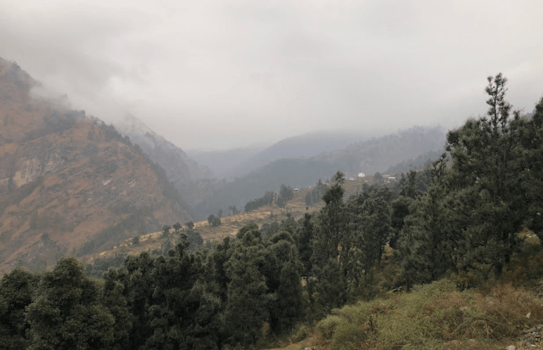
Khatima

Khatima, located in the Udham Singh Nagar district of Uttarakhand, holds significant importance as a business hub in the Kumaon region. Its strategic location and well-connected transportation facilities make it a pivotal point in northern India. Known for its burgeoning agriculture sector, Khatima is witnessing rapid growth and development.

Khatima in Udham Singh Nagar

Khatima is a town located in the Udham Singh Nagar district of the Indian state of Uttarakhand. It is situated near the border of Uttarakhand and Uttar Pradesh states. Khatima serves as a significant commercial and transportation hub in the region due to its strategic location. It has good connectivity with nearby towns and cities, making it an important center for trade and commerce. Agriculture is a prominent economic activity in the surrounding areas, with crops like wheat, rice, sugarcane, and fruits being cultivated. Additionally, Khatima also has small-scale industries contributing to its economy.

Activities In Khatima

Khatima, located in the Udham Singh Nagar district of Uttarakhand, India, offers various activities and attractions for visitors. Here are some things you can do in and around Khatima:

Visit Temples: Explore the numerous temples in and around Khatima, such as the Drona Sagar Lake and Temple, Chaiti Temple, and Nagnath Temple.

Nature Walks: Take leisurely walks in the surrounding natural beauty. Khatima is situated amidst lush greenery and offers serene landscapes for nature enthusiasts.

Shopping: Explore local markets for handicrafts, souvenirs, and traditional items unique to the region.

Picnics: Enjoy a picnic with family and friends at one of the scenic spots nearby, such as the banks of the Sharda River or amidst the rolling hills.

Rudrapur rudrapur city

Rudrapur

Rudrapur, originally established as a refugee camp in 1960 for people from Pakistan, West Punjab, and Burma, has transformed into…

Haldwani uttarakhand haldwani

Haldwani

Haldwani is a city located in the Nainital district of the Indian state of Uttarakhand. It is the third most…

Ramnagar ramnagar ramnagar 22

Ramnagar

Ramnagar is a town located in the Nainital district of the Indian state of Uttarakhand. It is situated on the…

Nainital Nainital

Nainital

Nainital is a popular hill station and tourist destination located in the Kumaon region of the Indian state of Uttarakhand….

How To Reach Khatima

By Road

Khatima is well-connected by road to major cities and towns in Uttarakhand and neighboring states. You can either drive your own vehicle or take a bus from nearby cities like Haldwani, Rudrapur, or Tanakpur.
By Train

Khatima has its own railway station, which is well-connected to major cities like Delhi, Lucknow, and Kolkata. You can check for trains to Khatima from your departure station and book tickets accordingly.

By Air

The nearest airport to Khatima is Pantnagar Airport, which is about 77 kilometers away. From there, you can hire a taxi or take a bus to reach Khatima.

Frequently Asked Questions Registrations

1. What is Khatima?

Khatima is a town located in the Udham Singh Nagar district of the state of Uttarakhand in India. It is situated near the border of Uttarakhand and Uttar Pradesh.

2. What is Khatima known for?

  • Khatima is primarily known for its agricultural activities, especially its production of fruits like mangoes and lychees. It also serves as a hub for trade and commerce due to its strategic location near the state border.

3.  How far is Khatima from major cities?

Khatima is approximately 50 kilometers from Rudrapur and about 300 kilometers from the state capital, Dehradun.

4. How is the climate in Khatima?

Khatima experiences a subtropical climate with hot summers and relatively mild winters. The monsoon season (July to September) brings significant rainfall.

5. What are the nearby tourist attractions?

  • Nearby attractions include Jim Corbett National Park, Nanakmatta Sahib Gurudwara, and various temples such as Chaiti Devi Temple.

Ghansali

Ghansali seems like a quaint little town nestled in the lap of nature, with its strategic location near the confluence of Bhilangana and Bal Ganga rivers. Being a market hub for nearby villages, it must play a vital role in the local community. The elevation of 976 meters adds a touch of altitude charm.

Ghansali In New Tehri

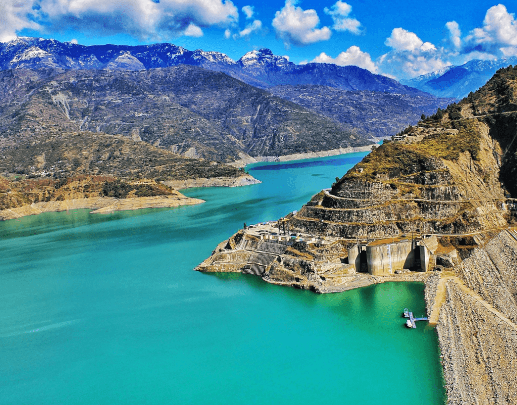
Ghansali is a town in the Tehri Garhwal district of Uttarakhand, India. It’s a beautiful region nestled in the Himalayas, known for its picturesque landscapes and serene surroundings. The town is surrounded by hills and is located near the Tehri Dam, one of the largest dams in India.The area is rich in cultural and natural heritage, offering a peaceful retreat for those seeking tranquility in the mountains.

Chandrabani Temple uttarakhand Chandrabani Temple

Chandrabani Temple

Chandrabani Temple is a significant religious site located in Dehradun, Uttarakhand, India. It is dedicated to Goddess Chandrabani, who is…

Chamba uttarakhand chamba town

Chamba

Chamba and Tehri offer a serene and tranquil escape for nature lovers and adventure seekers alike. The lush green landscapes,…

Tehri Lake UTTARAKHAND TEHRI LAKE

Tehri Lake

Tehri Lake, also known as Tehri Dam Reservoir, is a large artificial reservoir located in the state of Uttarakhand in…

Budha Kedar BudhaKedar Temple, Tehri Garhwal,

Budha Kedar

Budha Kedar, located in Tehri Garhwal, Uttarakhand, is a sacred site dedicated to Lord Shiva. It is renowned for hosting…

How To Reach Ghansali

By Road

You can also reach Ghansali by road. There are regular bus services from major cities in Uttarakhand to Ghansali. Alternatively, you can hire a taxi or drive yourself if you prefer a more personalized journey.

By Train

The nearest railway station is Rishikesh Railway Station, around 136 kilometers away. After reaching Rishikesh, you can hire a taxi or take a bus to cover the remaining distance to Ghansali.

By Air

The nearest airport is Jolly Grant Airport in Dehradun, which is approximately 164 kilometers away from Ghansali. From the airport, you can hire a taxi or take a bus to reach Ghansali.

Ramgarh

Ramgarh, often referred to as the “Fruit Bowl of Kumaon,” is a picturesque destination nestled in the Kumaon region of Uttarakhand, India. This serene hamlet has been gaining popularity among tourists, thanks to its tranquil surroundings and lush orchards.

Ramgarh In Nainital

Ramgarh is a town located in the Nainital district of the Indian state of Uttarakhand. It is situated at an elevation of about 1,789 meters (5,869 feet) above sea level. Ramgarh is known for its scenic beauty, orchards, and tranquility. The town offers panoramic views of the snow-capped Himalayan peaks.
The area is renowned for its bountiful orchards, which yield a variety of fruits, including apples, apricots, peaches, and pears.Ramgarh is often referred to as the “Fruit Bowl of Kumaon” due to its abundant orchards of apples, plums, peaches, and apricots.In addition to the fruit orchards, Ramgarh also boasts other attractions such as ancient temples, scenic viewpoints, and hiking trails. The Nathuakhan and Mukteshwar regions are nearby, offering additional exploration opportunities for nature enthusiasts.

Activities Of Ramgarh

Nature Walks and Hiking: Ramgarh is surrounded by lush forests and offers several nature trails and hiking opportunities. Exploring the area on foot allows you to enjoy the pristine beauty of the Himalayan foothills.

Fruit Orchards Visit: The region is famous for its fruit orchards, especially apples and apricots. Many orchards allow visitors to stroll through the trees, pick fruit, and enjoy the scenic views.

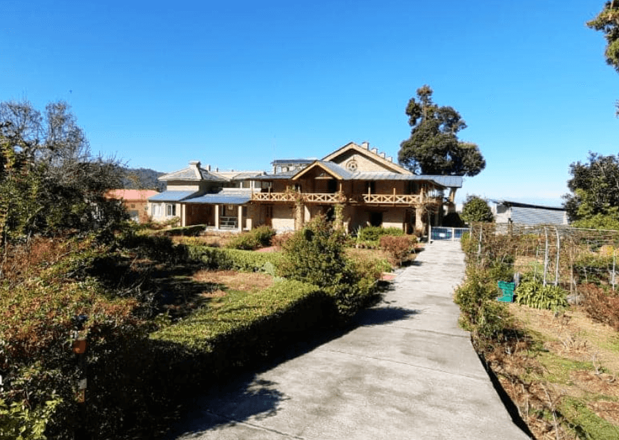
Stay in Heritage Properties: Ramgarh has some heritage properties and boutique hotels that provide a unique and tranquil accommodation experience. These properties often offer breathtaking views of the surrounding landscape.

Visit Tagore Top: Tagore Top, also known as Rabindranath Tagore’s bungalow, is a popular spot. It offers panoramic views of the snow-capped mountains and is a great place for photography and relaxation.

Mukteshwar Temple: Mukteshwar, located nearby, is known for its ancient Shiva temple, Mukteshwar Dham. The temple has historical significance and offers a peaceful environment.

Stargazing: Due to its relatively low light pollution, Ramgarh offers excellent opportunities for stargazing. On clear nights, you can enjoy the beauty of the night sky.

Photography: The landscapes and scenic beauty of Ramgarh make it an ideal destination for photography enthusiasts. Capture the beauty of the orchards, mountains, and sunsets.

Naukuchiatal nainital Naukuchiatal

Naukuchiatal

Naukuchiatal is a picturesque lake located in the Indian state of Uttarakhand, specifically in the Nainital district. The name “Naukuchiatal”…

Ramnagar ramnagar ramnagar 22

Ramnagar

Ramnagar is a town located in the Nainital district of the Indian state of Uttarakhand. It is situated on the…

Bhimtal BHIMTAL

Bhimtal

Bhimtal is a picturesque town located in the Nainital district of the Indian state of Uttarakhand. It’s renowned for its…

Nainital Nainital

Nainital

Nainital is a popular hill station and tourist destination located in the Kumaon region of the Indian state of Uttarakhand….

How To Reach Ramgarh

By Road

From Nainital: Ramgarh is approximately 36 kilometers (22 miles) from Nainital. You can hire a taxi or take a bus from Nainital to Ramgarh. The journey takes about 1-2 hours, depending on road conditions.

From Delhi: If you are traveling from Delhi, you can take a bus or hire a taxi to reach Nainital first. From Nainital, follow the directions mentioned above.

By Train

Nearest Railway Station: The nearest railway station to Ramgarh is Kathgodam. You can take a train from Delhi to Kathgodam and then hire a taxi or take a bus to reach Ramgarh, which is approximately 75 kilometers (47 miles) away. The journey from Kathgodam to Ramgarh takes about 2-3 hours.

By Air

Nearest Airport: The nearest airport to Ramgarh is Pantnagar Airport (approximately 78 kilometers or 48 miles away). You can take a flight to Pantnagar and then hire a taxi or take a bus to reach Ramgarh.

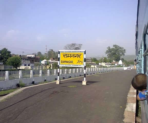
Ramnagar

Ramnagar is a town located in the Nainital district of the Indian state of Uttarakhand. It is situated on the banks of the Kosi River and is well-known for its natural beauty, rich cultural heritage, and historical significance.

Some Key Points About Ramnagar:

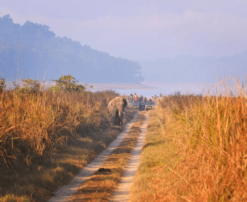
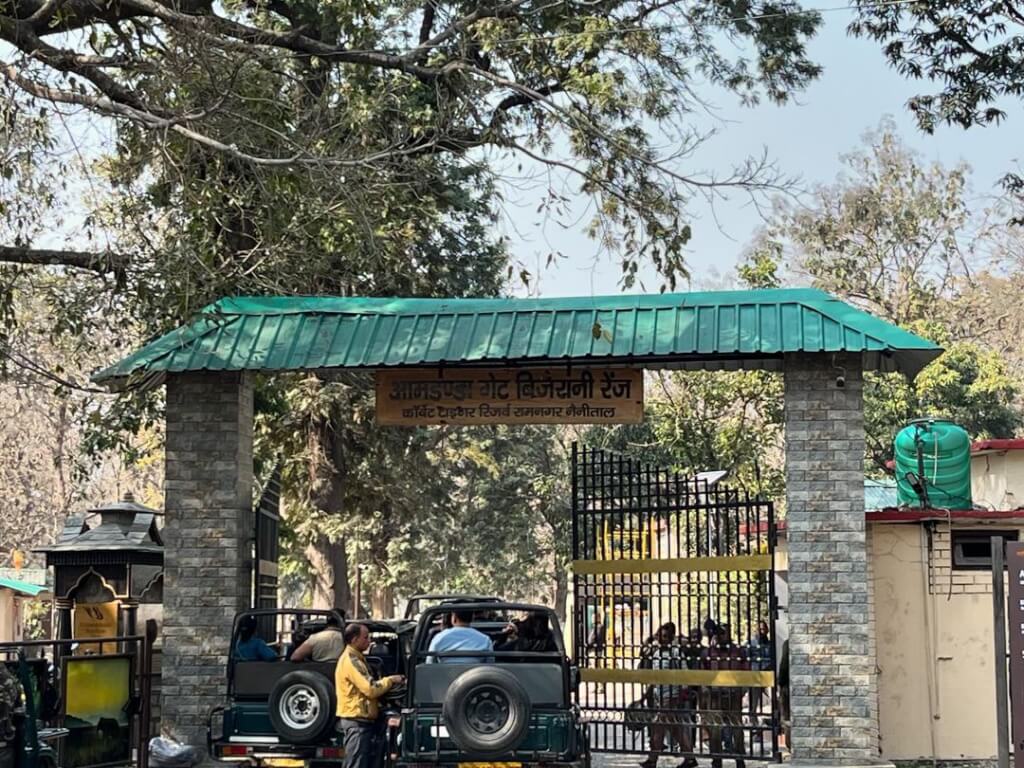
Jim Corbett National Park: Ramnagar serves as the gateway to the famous Jim Corbett National Park, which is the oldest national park in India. Established in 1936, the park is named after the renowned hunter and conservationist Jim Corbett. It is a popular destination for wildlife enthusiasts and nature lovers, known for its diverse flora and fauna, including Bengal tigers, elephants, and various species of deer and birds.

Tourism: Tourism is a significant aspect of Ramnagar’s economy, primarily due to its proximity to the Jim Corbett National Park. Visitors come to explore the park, engage in wildlife safaris, and enjoy the natural surroundings. The town itself has a serene atmosphere and offers a glimpse into rural life.

River Kosi: The Kosi River flows through Ramnagar, adding to the scenic beauty of the region. The river is a tributary of the Ramganga River and plays a vital role in the ecosystem of the area.

Cultural Heritage: The region around Ramnagar has a rich cultural heritage, with influences from the Kumaoni culture. Visitors can experience local traditions, customs, and festivals that are an integral part of the community.

Corbett Museum: The Corbett Museum, located in Kaladhungi near Ramnagar, is dedicated to the life and achievements of Jim Corbett. It showcases personal belongings, letters, and photographs related to the legendary conservationist.

Activities In Ramnagar

Trekking:The surrounding areas of Ramnagar offer excellent trekking opportunities. You can explore the nearby hills and forests, enjoying the scenic beauty and wildlife.

Camping:Camping is a popular activity in and around Ramnagar. Many tour operators organize camping trips in the nearby wilderness, providing a chance to experience the serenity of nature.

Village Tours:Explore the local culture by taking a village tour. This might include interactions with the locals, understanding their way of life, and experiencing traditional activities.
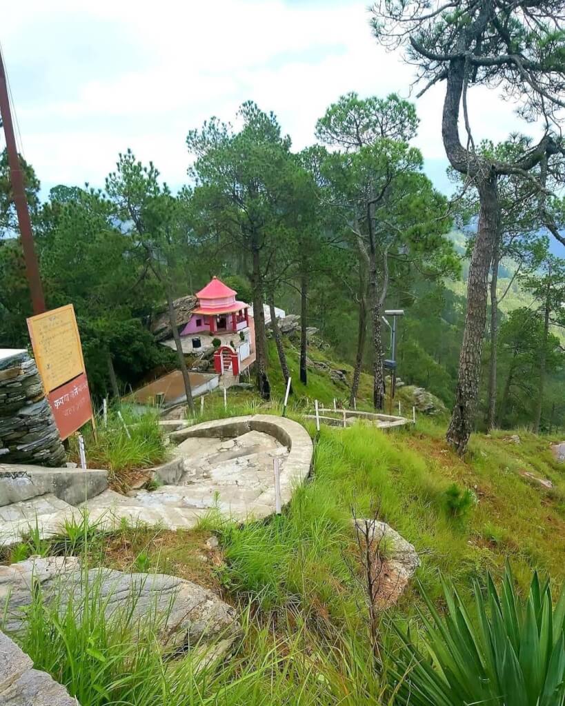
River Rafting:Some areas near Ramnagar offer river rafting experiences. The Kosi River is known for its rapids, providing an exciting adventure for water sports enthusiasts.

Corbett Waterfall:Visit Corbett Waterfall, which is around 25 kilometers from Ramnagar. It’s a scenic spot and a popular destination for picnics.
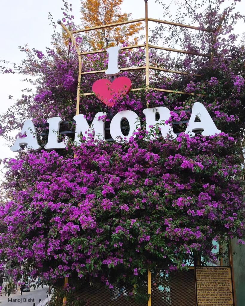
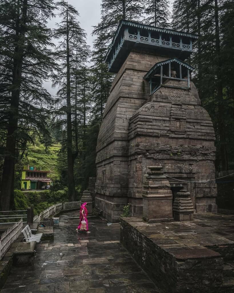
Mythology About Ramnagar

Ramnagar is situated near the Kosi River and is believed to be associated with the Hindu epic, Ramayana. According to local legends, Lord Rama, the central figure in the Ramayana, is said to have passed through this region during his 14 years of exile. It is believed that Ramnagar got its name from Lord Rama.

There is also a popular belief that the town is named after the sage Vyasa, who is known as Vyas Rishi. The story goes that Vyas Rishi meditated in this region, and over time, the name evolved into Ramnagar.

History Of Ramnagar

British Era:Ramnagar has a colonial history and served as a gateway to the Jim Corbett National Park. During the British era, it was a part of the United Provinces. The town became an important administrative and trading center during this period.

Jim Corbett Connection:Ramnagar gained prominence due to its association with Jim Corbett, a British-Indian hunter, conservationist, and author. Corbett played a key role in the establishment of the Hailey National Park in 1936, the first national park in India.

Cultural Heritage:Ramnagar also has a cultural heritage, with various temples and ashrams dotting the landscape. The region is known for its religious festivals and fairs, attracting devotees and tourists alike.

Corbett Museum uttarakhand Corbett Museum

Corbett Museum

Corbett Museum, located near Kaladhungi, is not just an ordinary museum; it holds a special significance for historians, heritage enthusiasts,…

Corbett Falls uttarakhand corbett falls

Corbett Falls

Corbett Falls, situated 25 kilometers from Ramnagar, is a breathtaking waterfall enveloped by dense teak wood forests, enhancing its natural…

Garjiya Temple uttarakhand garijiya temple

Garjiya Temple

The Garjiya Devi Temple in Uttarakhand is a renowned Shakti Shrine dedicated to Garjiya Devi, believed to be the incarnation…

Nainital Nainital

Nainital

Nainital is a popular hill station and tourist destination located in the Kumaon region of the Indian state of Uttarakhand….

How To Reach Ramnagar

By Road

From Delhi: Ramnagar is well-connected by road, and there are regular buses from Delhi to Ramnagar. You can also hire a taxi or drive your own vehicle. The distance between Delhi and Ramnagar is around 240 kilometers, and the journey takes approximately 5-7 hours depending on traffic conditions.

By Train

Ramnagar has its own railway station, which is well-connected to major cities in India. The Ramnagar Railway Station is the nearest railhead, and there are regular trains from Delhi and other major cities to Ramnagar. The journey by train offers scenic views and is a popular choice for travelers.

By Air

The nearest airport to Ramnagar is the Pantnagar Airport (PGH), which is approximately 70 kilometers away.

Frequently Asked Questions Registrations

1. Where is Ramnagar located?

Ramnagar is located in the Nainital district of Uttarakhand, India.

2. What is the significance of Ramnagar?

  • Ramnagar serves as the gateway to Jim Corbett National Park, the oldest national park in India.

3.  What is Jim Corbett National Park famous for?

Jim Corbett National Park is famous for its rich biodiversity, including tigers, elephants, and various bird species.

4. What are the accommodation options in Ramnagar?

Ramnagar offers a range of accommodation options, including hotels, resorts, and guesthouses.

5. What should I pack for a trip to Ramnagar?

  • Warm clothing, especially if visiting during the winter months.
  • Comfortable trekking shoes.
  • Rain gear (if traveling during the monsoon season).
  • Basic medical kit and personal medications.
  • Essentials like sunscreen, sunglasses, and a hat.

Ramnagar Picture


Almora

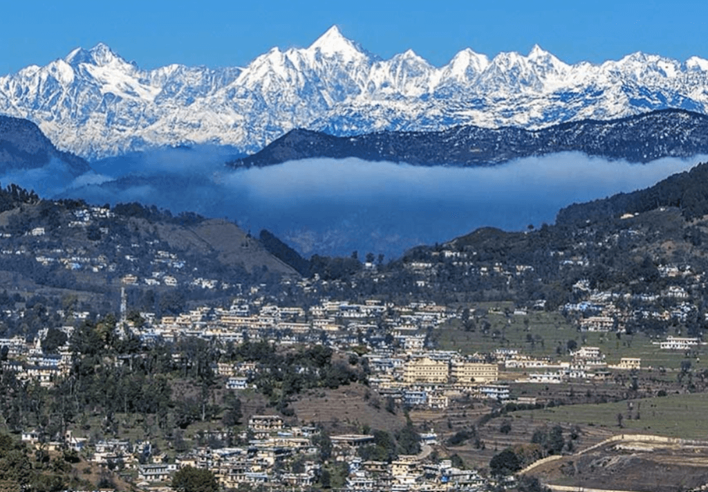
Almora is a picturesque town in the state of Uttarakhand, India. It is situated in the Kumaon region of the Himalayas and is known for its natural beauty, cultural heritage, and historical significance. Almora is located at an average elevation of 1,638 meters (5,374 feet) above sea level.It is surrounded by dense forests and offers panoramic views of the snow-capped Himalayan peaks.

Key Aspects Of Almora

History:Almora has a rich history and was established in 1568 by King Kalyan Chand during the rule of the Chand dynasty.
The town has historical temples, including the Nanda Devi and Chitai temples, showcasing the architectural and cultural heritage of the region.

Culture and Heritage:The culture of Almora is deeply rooted in the traditions of the Kumaoni people. The town has a unique charm with its cobbled streets and traditional wooden houses.
The local fairs and festivals, such as Nanda Devi Mela, are celebrated with enthusiasm, showcasing the vibrant cultural life of the region.

Tourist Attractions:Almora attracts tourists for its scenic beauty and offers several vantage points like Bright End Corner and Kasar Devi for breathtaking views.
The Deer Park, Govind Vallabh Pant Public Museum, and Kumaon Regimental Centre Museum are some of the tourist attractions in the town.

Nature and Adventure:The region around Almora is endowed with natural beauty, including pine and oak forests, making it a popular destination for nature lovers.
Trekking and nature walks are common activities, with trails leading to places like Binsar Wildlife Sanctuary and Jageshwar.

Handicrafts and Shopping:Almora is known for its traditional handicrafts, including local wooden artifacts and copperware.
The Mall Road in Almora is a popular shopping destination where tourists can buy local handicrafts, woolens, and other souvenirs.

Activities In Almora

Almora, a picturesque town in the Kumaon region of Uttarakhand, India, offers a tranquil environment surrounded by scenic beauty and historical charm. Here are some activities you can enjoy in and around Almora:

Visit Bright End Corner:Enjoy panoramic views of the Himalayas and sunrise/sunset from this vantage point.

Explore Kasar Devi Temple:Visit this ancient temple known for its spiritual significance and stunning views of the Himalayas.

Lal Bazaar:Shop for local handicrafts, woolens, and souvenirs in the vibrant Lal Bazaar.

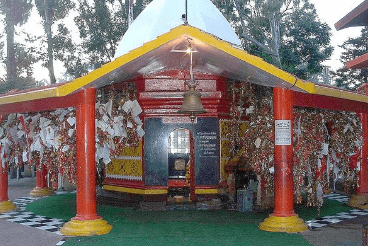
Chitai Golu Devta Temple:Explore this unique temple known for its bells and devotees’ wishes tied to the trees.

Binsar Wildlife Sanctuary:Take a nature walk or go on a trek in this sanctuary, known for its diverse flora and fauna.

Gobind Vallabh Pant Public Museum:Discover the rich cultural heritage of Kumaon through artifacts and exhibits in this museum.

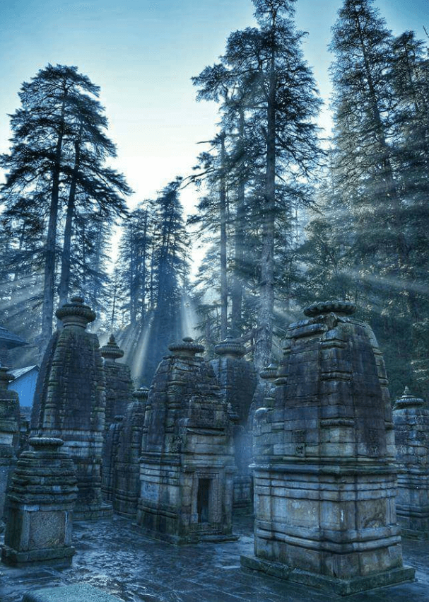
Jageshwar Dham:Visit this group of ancient temples dedicated to Lord Shiva, surrounded by deodar trees.

Kausani:Plan a day excursion to Kausani for breathtaking views of the Himalayas and visit the Anashakti Ashram.

Bageshwar uttarakhand bageshwar 22

Bageshwar

Bageshwar, known as “The Land of Shiva,” is a city adorned at the confluence of the Saryu and Gomati rivers….

Jageshwar Almora jageshwar

Jageshwar

Jageshwar is a small town located in the Almora district of the Indian state of Uttarakhand. It is renowned for…

Pithoragarh uttarakhand Pithoragarh

Pithoragarh

Pithoragarh is a district located in the northern state of Uttarakhand, India. It is situated in the Kumaon region and…

Ranikhet Ranikhet 1

Ranikhet

Ranikhet is a beautiful hill station in Uttarakhand, India, sitting about 6,132 feet above sea level. Its name means “Queen’s…

How To Reach Almora

By Road

Almora is well-connected by road, and you can reach there by bus or private vehicle. The road network is good, and the journey offers scenic views of the Himalayas.You can take a bus from major cities like Delhi, Haldwani, or Nainital.

By Train

The nearest railway station to Almora is Kathgodam Railway Station (approximately 90 kilometers away).There are regular trains from Delhi and other major cities to Kathgodam. From Kathgodam, you can hire a taxi or take a bus to reach Almora.

By Air

The nearest airport to Almora is Pantnagar Airport (approximately 125 kilometers away).You can take a flight to Pantnagar from major cities like Delhi. From the airport, you can hire a taxi or use public transportation to reach Almora.

Frequently Asked Questions Registrations

1. What is Almora and where is it located?

Almora is located in the Kumaon region of the Indian state of Uttarakhand. It is situated at an altitude of 1,638 meters (5,374 feet) above sea level, amidst the scenic beauty of the Himalayan mountains. The town is surrounded by pine and oak forests, offering breathtaking views of the snow-capped peaks.

2. What is the best time to visit Almora?

  • The best time to visit Almora is during the summer months, from March to June, when the weather is pleasant and ideal for sightseeing. Avoid visiting during the monsoon season (July to September) due to heavy rainfall, which may lead to landslides.

3. What are the accommodation options in Almora?

Almora offers a range of accommodation options to suit every budget, including hotels, resorts, guesthouses, and homestays. Some popular hotels in Almora include Kalmatia Sangam Himalaya Resort, Hotel Shikhar, and Khali Estate.

4. What are the popular tourist attractions in Almora?

Almora is known for its scenic beauty and cultural heritage. Some popular tourist attractions include Kasar Devi Temple, Bright End Corner, Chitai Golu Devta Temple, Katarmal Sun Temple, and Jageshwar Temple.

5. What are the nearby places to visit from Almora?

  • There are several nearby places to visit from Almora, including Nainital, Ranikhet, Binsar, Kausani, and Mukteshwar. These destinations are known for their natural beauty and offer stunning views of the Himalayas.

Almora Picture

Bageshwar

Bageshwar, known as “The Land of Shiva,” is a city adorned at the confluence of the Saryu and Gomati rivers. Nestled at an elevation of 1004 metres, this sacred destination boasts numerous renowned temples dedicated to various Gods and Goddesses in its vicinity.
The city holds immense religious and historical significance, making it a pilgrimage site for devotees. The towering Bhileshwar and Nileshwar mountains grace the east and west sides of Bageshwar, creating a picturesque backdrop. To the north and south, Suraj Kund and Agni Kund mark the landscape, adding to the mystique of the surroundings.

Activities In Bageshwar

The region offers several outdoor activities for nature enthusiasts and adventure seekers. Here are some activities you can enjoy in Bageshwar:

Trekking: Pindari Glacier Trek: One of the popular treks in the region, the Pindari Glacier trek offers stunning views of snow-capped peaks, lush green meadows, and picturesque landscapes.
Sunderdhunga Trek: This trek takes you through beautiful forests, charming villages, and offers breathtaking views of the surrounding Himalayan peaks.

Camping:Explore camping options in the serene landscapes surrounding Bageshwar. Camping is a great way to connect with nature and enjoy the tranquility of the Himalayan region.Many trekking routes have designated camping sites where you can set up tents and spend a night under the stars.

Bird Watching:Bageshwar and its surrounding areas are rich in biodiversity. Bring your binoculars and explore the diverse birdlife in the region.The forests and meadows around Bageshwar are home to various species of birds, making it an ideal destination for bird watchers.

Village Tourism:Experience the unique culture and hospitality of the local villages around Bageshwar. Interact with the residents, learn about their traditional customs, and immerse yourself in the local way of life.Visit ancient temples, historic sites, and traditional markets in the villages to get a taste of the rich heritage of the region.

Photography:Capture the stunning landscapes, vibrant cultures, and diverse flora and fauna with your camera. Bageshwar offers plenty of opportunities for photography enthusiasts.

History Of Bageshwar

Ancient History:Bageshwar has ancient roots and is believed to have been a part of the Katyuri dynasty, which ruled the Kumaon region in the 7th to 11th centuries. The Katyuri kings were known for their patronage of art and culture.

Medieval Period:During the medieval period, Bageshwar was under the influence of various regional rulers, including the Chand dynasty. It served as a prominent trade center due to its strategic location on the trade routes connecting the plains of northern India with Tibet.

British Era:The British incorporated the region into the British Indian territories during their rule. Bageshwar continued to be an essential administrative and trade center during this time.

Mythology About Bageshwar

Bageshwar is associated with several myths and legends, and it holds religious significance for Hindus. One of the most well-known myths is related to Lord Shiva.The town is named after the Baghnath Temple, dedicated to Lord Shiva, who is also known as Bageshwar. Legend has it that Lord Shiva wandered through the region in the form of a tiger (Bagh in Sanskrit), leading to the name “Bageshwar.”

Almora almora almora

Almora

Almora is a picturesque town in the state of Uttarakhand, India. It is situated in the Kumaon region of the…

Jageshwar Almora jageshwar

Jageshwar

Jageshwar is a small town located in the Almora district of the Indian state of Uttarakhand. It is renowned for…

Pithoragarh uttarakhand Pithoragarh

Pithoragarh

Pithoragarh is a district located in the northern state of Uttarakhand, India. It is situated in the Kumaon region and…

How To Reach Bageshwar

By Road

From Delhi:Bageshwar is approximately 430 kilometers from Delhi. You can take a bus from ISBT Delhi or hire a taxi to reach Bageshwar. The journey by road can take around 10-12 hours, depending on the traffic and road conditions.
From Kathgodam:If you are arriving by train at Kathgodam, you can hire a taxi or take a bus to Bageshwar.
From Almora:Almora is around 90 kilometers from Bageshwar. You can hire a taxi or take a bus from Almora to reach Bageshwar.
From Nainital:Nainital is approximately 130 kilometers away. You can hire a taxi or take a bus from Nainital to Bageshwar.

By Train

The nearest railway station to Bageshwar is Kathgodam Railway Station (approximately 178 kilometers away). From Kathgodam, you can hire a taxi or take a bus to Bageshwar.

By Air

The nearest airport to Bageshwar is Pantnagar Airport which is approximately 188 kilometers away. From the airport, you can hire a taxi or use other local transportation to reach Bageshwar.

Tanakpur

Tanakpur, nestled in the picturesque Champawat district, is a charming toy town located in the heart of the Kumaon region, merely 3 km away from the Indo-Nepal border. Known for its scenic beauty and emerging as a prominent business town in the Kumaon region, Tanakpur offers a unique blend of natural tranquility and commercial vibrancy.

Tanakpur In Champawat

Snuggled in the idyllic surroundings of the Champawat district, lies the toy town of Tanakpur.Situated at an average elevation of 245 meters above sea level, Tanakpur is beautifully cradled on the banks of the Sharda River. The town’s strategic location near the borders of Nepal, Kumaon, and Uttar Pradesh contributes to its growing significance as a business hub.The National Hydroelectric Power Corporation (NHPC) has established an ambitious Hydel power project on the Sharda River at Banbasa, near Tanakpur, generating 120MW of electricity. This project not only adds to the region’s economic development but also harnesses the power of the surging Sharda River.

Activities In Tanakpur

NHPC Hydel Power Project:The National Hydroelectric Power Corporation (NHPC) has established a significant hydel power project on the Sharda River at Banbasa, near Tanakpur.This hydel power project generates 120MW of electricity, contributing to the region’s power supply and infrastructure development.

Purnagiri Temple:The Purnagiri Temple near Tanakpur is a prominent religious site that attracts thousands of devotees each month.Pilgrims visit the temple to seek blessings and participate in religious rituals.

Religious Tourism:Tanakpur, being close to Purnagiri Temple, serves as a base for religious tourism. Pilgrims and tourists often explore the spiritual and cultural aspects of the region.

River Activities:With its location on the banks of the Sharda River, Tanakpur offers opportunities for activities such as boating, fishing, or simply enjoying the scenic beauty along the riverbanks.

Local Markets: Explore the local markets to experience the culture and daily life of the people in Tanakpur. You may find traditional handicrafts, local produce, and unique items reflective of the region’s heritage.

Natural Beauty:Tanakpur is surrounded by picturesque landscapes and natural beauty. Visitors can indulge in activities like nature walks, trekking, or simply enjoying the tranquility of the surroundings.

Adventure Tourism:Depending on the local offerings, there might be opportunities for adventure tourism, such as trekking, camping, or other outdoor activities in the nearby hills or forests.

Lohaghat Lohaghat, Champawat

Lohaghat

Nestled on the banks of the Lohawati River, Lohaghat is a captivating hill station located just 7 kilometers from Abbott…

Mayawati Ashram uttatrakhand Mayawati Ashram22

Mayawati Ashram

Mayawati Ashram, also known as Advaita Ashrama, Mayavati, is a renowned visitor attraction situated in the Old Tea Estate area…

Bhimtal BHIMTAL

Bhimtal

Bhimtal is a picturesque town located in the Nainital district of the Indian state of Uttarakhand. It’s renowned for its…

Nainital Nainital

Nainital

Nainital is a popular hill station and tourist destination located in the Kumaon region of the Indian state of Uttarakhand….

How To Reach Tanakpur

By Road

From Delhi:Tanakpur is approximately 400 kilometers from Delhi. You can take a bus or hire a taxi from Delhi to reach Tanakpur.
The journey may take around 8-10 hours, depending on the mode of transportation and the route taken.

From Lucknow:Tanakpur is about 430 kilometers from Lucknow. You can take a bus or hire a taxi to reach Tanakpur.

From Kathgodam:Kathgodam is another major railway station in Uttarakhand, and it is around 175 kilometers from Tanakpur. You can take a train or hire a taxi from Kathgodam.

By Train

Tanakpur has a railway station, and it is well-connected by rail. You can check for trains to Tanakpur from major cities in India. The railway station code for Tanakpur is TPU.

By Air

The nearest airport to Tanakpur is Pantnagar Airport (PGH), which is approximately 218 kilometers away. From the airport, you can hire a taxi or use public transportation to reach Tanakpur.

Gunji Village

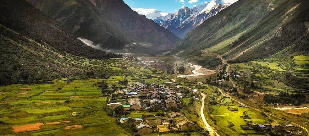
Gunji, a quaint village nestled in Uttarakhand, India, lies in proximity to the borders of Tibet and Nepal. Although administered by India, there exists a territorial dispute with Nepal over this region. Situated at the east end of the Kuthi Valley, Gunji is strategically positioned near the confluence of the Kuthi Yankti and Kalapani River.  The village holds significance as it is situated on the traditional route taken by Indian and Nepalese pilgrims heading to Kailas–Manasarovar. Despite the ongoing border dispute, Gunji stands as a testament to the shared historical and cultural ties between India and Nepal in the context of this ancient pilgrimage route.

Adi Kailash Package :-  Adi kailash Kathgodam  ::  Adi kailash Dharchula :: Adi kailash Delhi  

Send Enquiry

Gunji village, pithoragarh
Gunji Village, pithoragarh
LocationDahrchula  (Phithoragarh) 
Famous ForAdi Kailash/ Om Parvat Yatra 
Altitude 10,500 Feet 

Gunji Village Distance Chart

  Dharchula To Gunji Distance68 KM
  Gunji To Adi kailash Distance26 KM
  Dharchula To Adi Kailash Distance59 KM
 Pithoragarh To Gunji Distance159 KM
  Gunji Village To Kuti (Kutti) Village Distance19 KM
How To Reach Gunji Village

By Road

  • Gunji Village is not directly accessible by road. However, you can travel to nearby towns or villages like Munsyari, Dharchula, or Ghat and then trek to Gunji.
  • From major cities like Delhi or Dehradun, you can take a bus or hire a taxi to reach Munsyari or Dharchula, which are common starting points for treks to Gunji.
  • The road journey from these cities to Munsyari or Dharchula can take around 10-12 hours depending on the route and road conditions.

By Train

The nearest major railway station to Gunji Village is Kathgodam Railway Station, which is located in the town of Kathgodam in Uttarakhand. The distance from Kathgodam to Munsyari is around 285 kilometers and can take approximately 10-12 hours by road.

By Air

The nearest airport to Gunji Village is Pantnagar Airport, located in the town of Pantnagar in Uttarakhand. The distance from Pantnagar Airport to Munsyari is approximately 325 kilometers and can take around 10-12 hours by road.

Kuti Village

Kuti Village, nestled in the picturesque Kuti Valley near Pithoragarh in Uttarakhand, India, is a remote Himalayan settlement. Surrounded by the stunning landscapes of the Adi Kailash region, this village is inhabited mainly by the Byansi community. The valley is traversed by the Kuti Yankti River, a tributary of the Kali River. 

Adi Kailash Package :-  Adi kailash Kathgodam  ::  Adi kailash Dharchula :: Adi kailash Delhi  

Send Enquiry

Kuti Village, En route of Adi Kailashi Yatra
LocationDahrchula  (Phithoragarh) 
Famous ForAdi Kailash/ Om Parvat Yatra 
Altitude 12,300 Feet 
Kuti Village and the Charm of Adi Kailash

Kuti Village holds cultural significance as one of the last inhabited areas before the border with Tibet. The region is accessible via the Pithoragarh-Lipulekh Pass Highway (PLPH), offering a challenging but rewarding journey for those seeking adventure. This serene Himalayan hamlet is part of the Pithoragarh district, providing a glimpse into the unique lifestyle and traditions of the Byansi people. The valley is also known for its proximity to the Limpiyadhura Pass and Adi Kailash peak, adding an element of spirituality to its natural beauty.

How To Reach Kuti Village

By Road

  • Take a bus or hire a taxi to reach the nearest town of Pithoragarh.
  • From Pithoragarh, you can hire a shared jeep or taxi to reach Dharchula, which is the last motorable point.
  • From Dharchula, trekking is the only option to reach Kuti Village. The trek takes around 3-4 days and involves crossing the Darma Valley and several suspension bridges.

By Train

The nearest major railway station is Kathgodam Railway Station (KGM). From Kathgodam, you can either hire a taxi or take a bus to reach Pithoragarh. Follow the road route mentioned above from Pithoragarh to Dharchula and then trek to Kuti Village.

By Air

The nearest airport to Kuti Village is Pantnagar Airport (PGH), located in Uttarakhand.

From Pantnagar, you can hire a taxi or take a bus to reach Pithoragarh.

More Info :- Best Time to Visit Adi Kailash Yatra :: 

Contact Us