1. Where is the Valley of Flowers located?
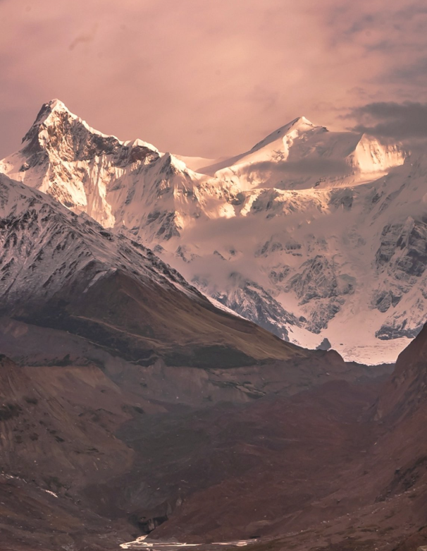
The Valley of Flowers is situated in the Chamoli district of Uttarakhand, in the Garhwal region of the Indian Himalayas. It lies within the Nanda Devi Biosphere Reserve, which is a UNESCO World Heritage Site.
2. What is the best time to visit the Valley of Flowers?
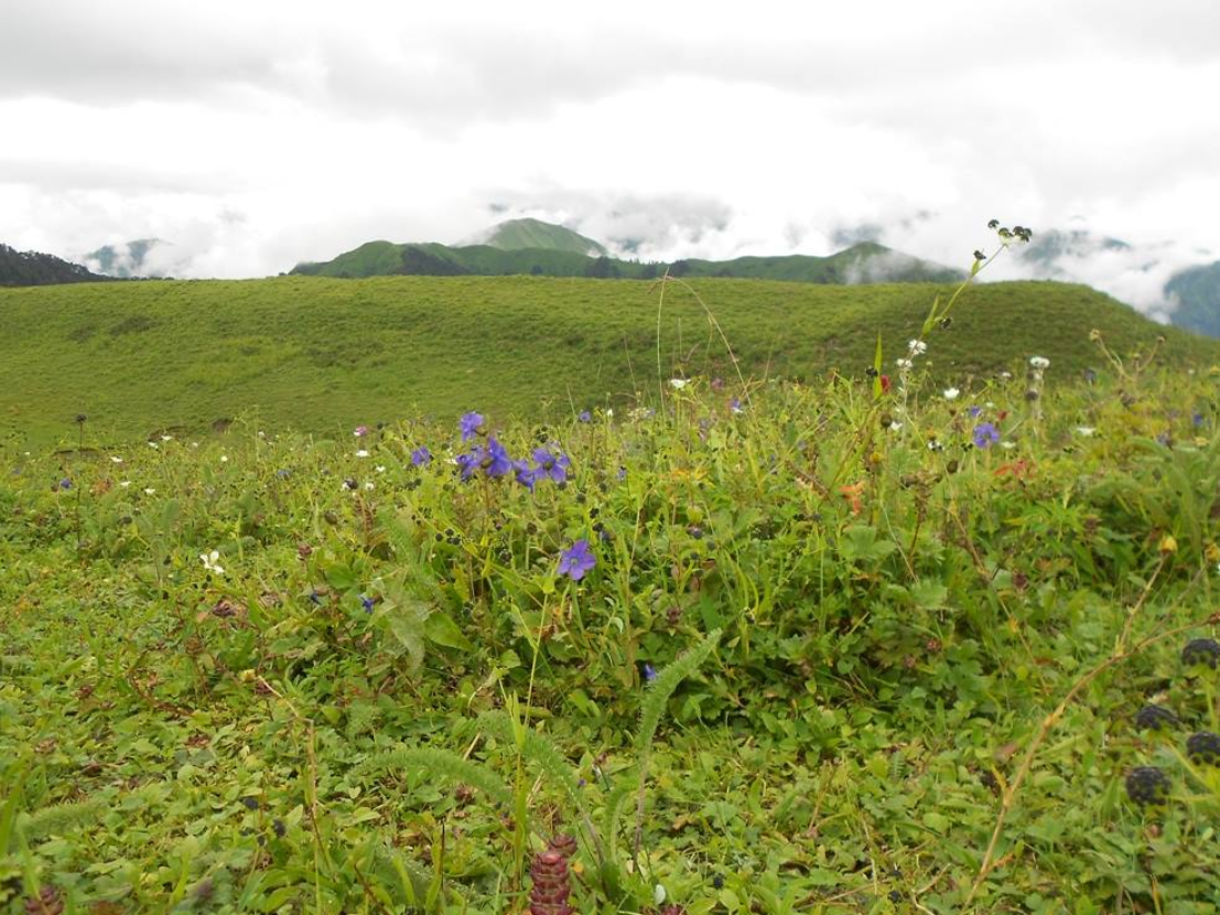
The best time to visit the Valley of Flowers is from mid-July to mid-August, when the flowers are in full bloom. This period offers the most vibrant and picturesque views of the valley. The park is usually closed to visitors during the winter months due to heavy snowfall.
3. Do I need a permit to visit the Valley of Flowers?
Yes, visitors need a permit to enter the Valley of Flowers National Park. Permits can be obtained from the Forest Department office in Joshimath or at the entry gate in Govindghat. Foreign nationals are also required to obtain an Inner Line Permit (ILP) or Restricted Area Permit (RAP) to visit the valley.
4. How do I reach the Valley of Flowers?
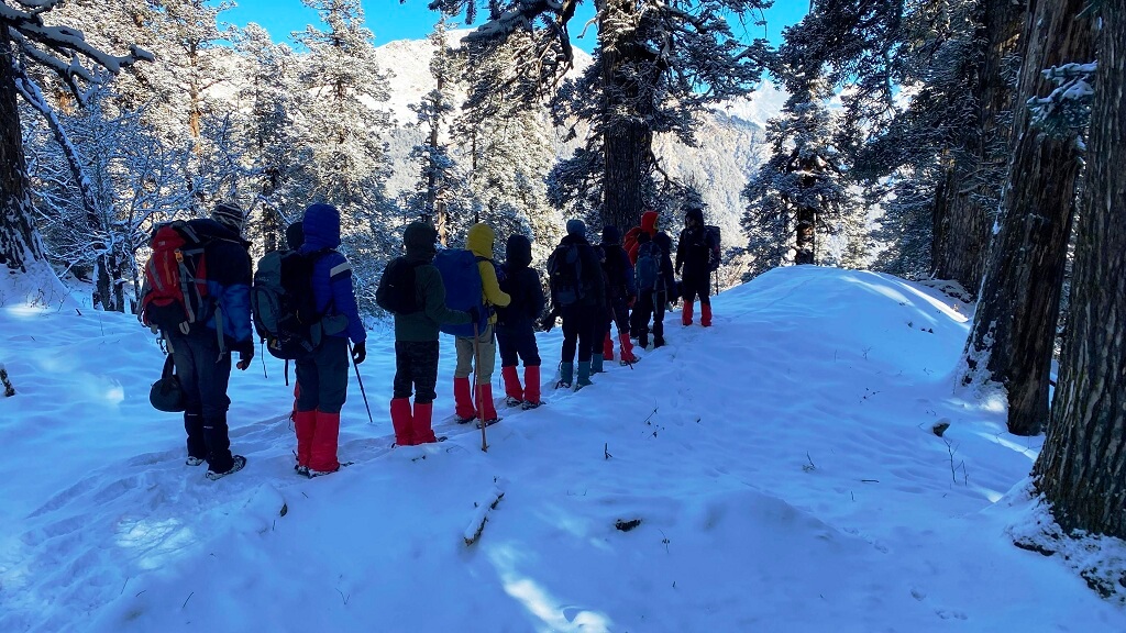
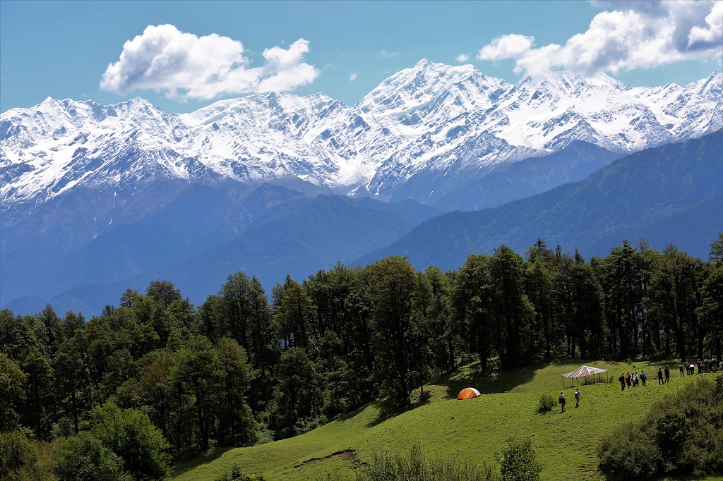
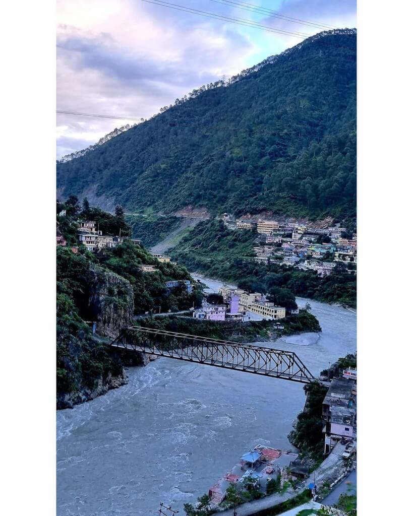
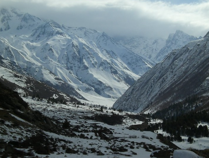
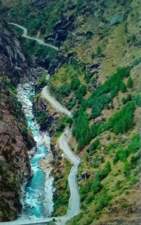
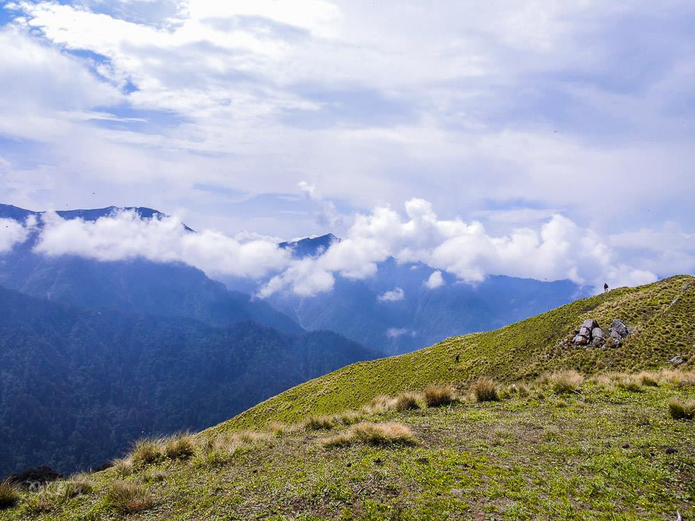
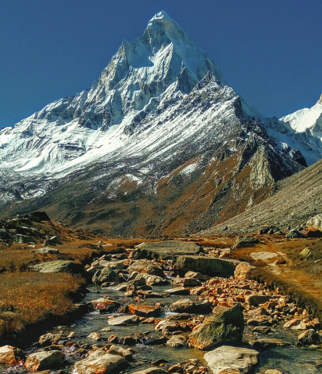
The nearest town to the Valley of Flowers is Joshimath, which is well-connected by road to major cities like Rishikesh and Haridwar. From Joshimath, you can reach Govindghat by road, and then trek to the Valley of Flowers. The trek from Govindghat to Ghangaria (the base camp for the valley) is about 13 kilometers and takes around 4-6 hours. From Ghangaria, it’s another 3-4 kilometers trek to the Valley of Flowers.
5. Are there accommodation options near the Valley of Flowers?
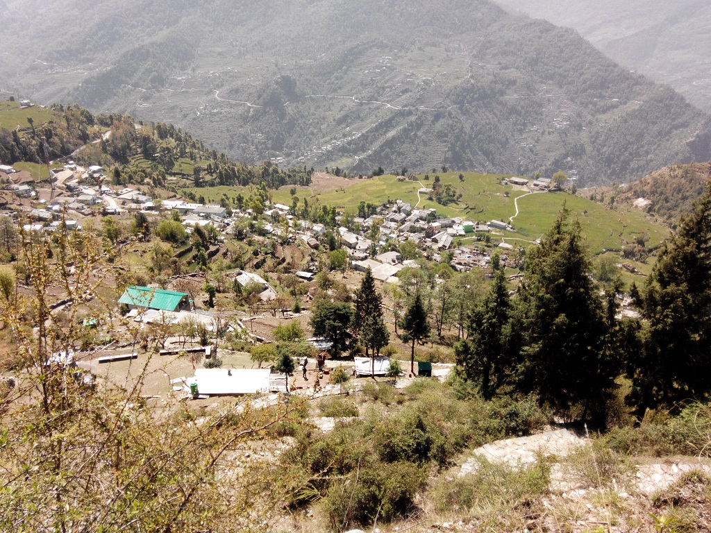
Accommodation options are available in Ghangaria, including guesthouses, lodges, and campsites. It’s advisable to book accommodation in advance, especially during the peak season, as facilities may be limited.
6. What are the trekking options in the Valley of Flowers?
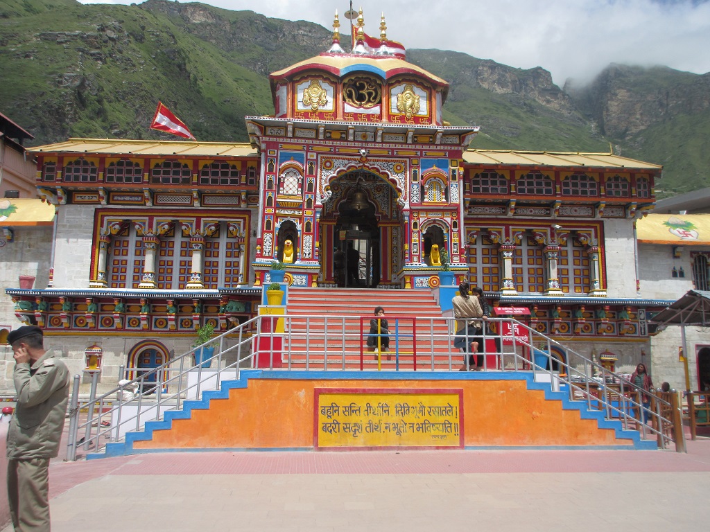
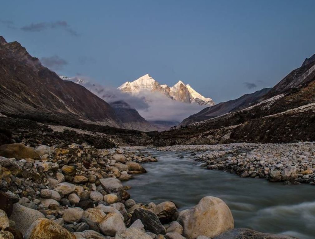
The main trekking route in the Valley of Flowers starts from Govindghat and goes through Ghangaria to the valley. Additionally, trekkers can also explore nearby attractions like Hemkund Sahib, a Sikh pilgrimage site located at an altitude of 4,329 meters.
7. Is the Valley of Flowers suitable for beginners?
The trek to the Valley of Flowers is moderate in difficulty and is suitable for beginners with a reasonable level of fitness.
8. Are there any medical facilities available near the Valley of Flowers?
Basic medical facilities are available in Ghangaria, including a primary health center. However, it’s advisable to carry essential medications and a first aid kit with you.
9. What should I pack when visiting the Valley of Flowers?
Essential items to pack include sturdy trekking shoes, warm clothing, rain gear, sunscreen, sunglasses, a hat, insect repellent, a first aid kit, and sufficient food and water for the trek.
10. Is photography allowed in the Valley of Flowers?
Photography is allowed in the Valley of Flowers, and visitors are encouraged to capture the breathtaking beauty of the landscape.
Adi kailash Yatra Package From Kathgodam

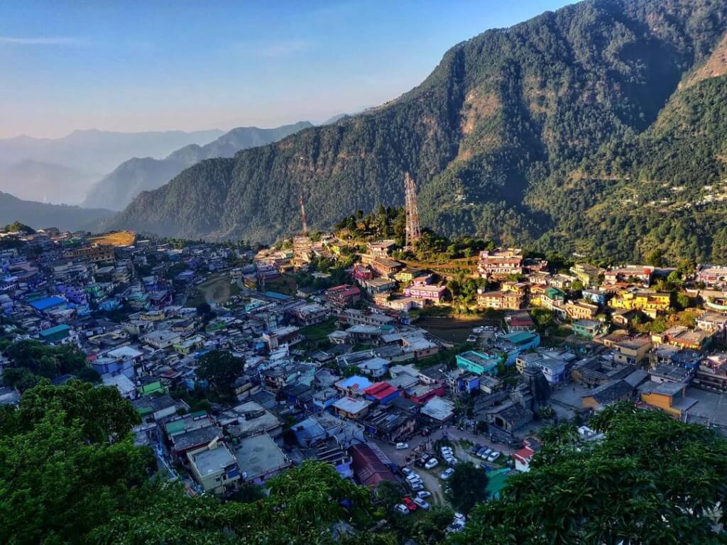
How To Reach Sankri
Sankri is a picturesque village located in the Uttarkashi district of the Indian state of Uttarakhand. It serves as a…
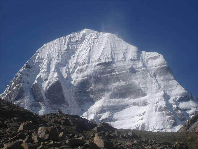
Adi Kailash
Adi Kailash, also known as Chhota Kailash, is a sacred mountain located in the Indian state of Uttarakhand. Standing tall…
Adi kailash Yatra from Delhi
Yatra Overview Reporting Time & Place :- Ajmeri Gate Side at 0900 Hr Save 20% on Yatra CostRs 42,000/ (Delhi to Delhi)…
Adi Kailash Yatra KMVN
Adi Kailash & Om Parvat Yatra Trek Overview Duration: 06Nights / 07 Days …