Nainital FAQ

Latest update on Nainital FAQs and queries related to Nainital, weather, Route, taxi etc. If you have any query do write Here ASK QUESTION

1.Where is Nainital located?

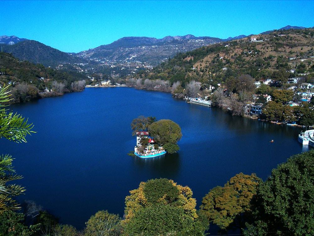
Nainital is located in the Kumaon region of Uttarakhand, India. It is situated around the Naini Lake, at an altitude of approximately 2,084 meters (6,837 feet) above sea level.

2. What are the main attractions in Nainital?

Naini Lake: The centerpiece of Nainital, popular for boating and scenic views.
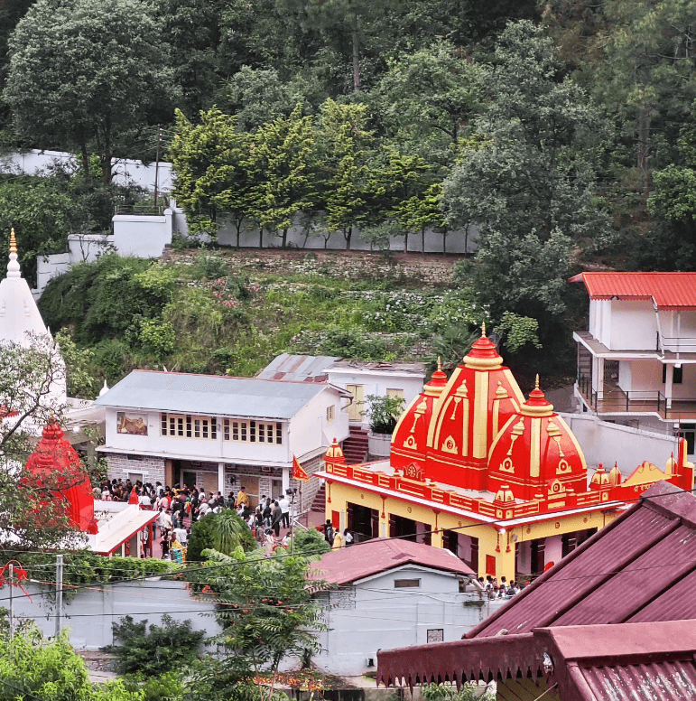
Naina Devi Temple: A sacred Hindu temple near Naini Lake.
Tiffin Top (Dorothy’s Seat): A popular viewpoint offering panoramic views of the town and surrounding hills.
Snow View Point: Accessible by a cable car, offering breathtaking views of snow-capped peaks.
The Mall Road: A bustling street along the lake, lined with shops, restaurants, and hotels.
Eco Cave Gardens: A series of interconnected rocky caves and hanging gardens.
Governor’s House (Raj Bhavan): A historic building and official residence of the Governor of Uttarakhand.

3. What are the famous tourist attractions in Nainital?

Some of the popular tourist attractions in Nainital include Naini Lake, Naina Devi Temple, Tiffin Top, Snow View Point, Nainital Zoo, and the Mall Road. Boating on Naini Lake and enjoying the scenic views are among the top activities for tourists.

4. What is the best time to visit Nainital?

The best time to visit Nainital is from March to June and from September to November. The weather is pleasant during these months, making it ideal for sightseeing and outdoor activities. December to February is suitable for those who enjoy cold weather and snowfall.

5. Are there accommodation options in Nainital?

Yes, Nainital offers a wide range of accommodation options, including luxury hotels, budget hotels, guesthouses, and homestays. It is advisable to book in advance, especially during the peak tourist season.

6. What should I pack for a trip to Nainital?

Warm clothing, especially if visiting in winter.
Comfortable walking shoes.
Rain gear (if traveling during the monsoon season).
Sunglasses, sunscreen, and a hat.
Personal medication and a basic medical kit.

7. Is Nainital safe for tourists?

Nainital is generally considered safe for tourists. However, it is advisable to take standard precautions regarding personal safety and belongings, especially in crowded areas and during peak tourist seasons.

8. What are the nearby attractions from Nainital?

Some of the nearby attractions from Nainital include Bhimtal, Sattal, Naukuchiatal, Mukteshwar, and Jim Corbett National Park. These destinations offer additional opportunities for nature exploration and adventure.

9. What are the festivals celebrated in Nainital?

Some of the festivals celebrated in Nainital include Nanda Devi Mela, Uttarayani Mela, and the Autumn Festival. These festivals showcase the local culture, traditions, folk music, dance, and cuisine, offering visitors a glimpse into the vibrant cultural heritage of the region.

10. How to reach Nainital?

Nainital is well-connected by road from major cities in North India. The nearest railway station is Kathgodam, which is about 34 kilometers away. Pantnagar Airport is the nearest airport, located approximately 70 kilometers from Nainital.

Adi Kailash Aadi Kailash

Adi Kailash

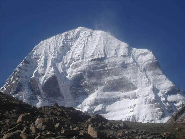
Adi Kailash, also known as Chhota Kailash, is a sacred mountain located in the Indian state of Uttarakhand. Standing tall…

How To Reach Uttarkashi

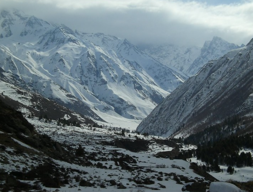
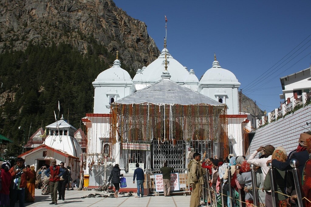
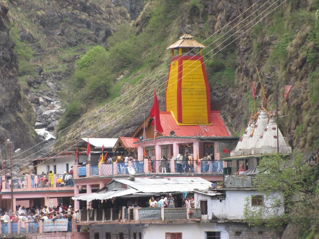
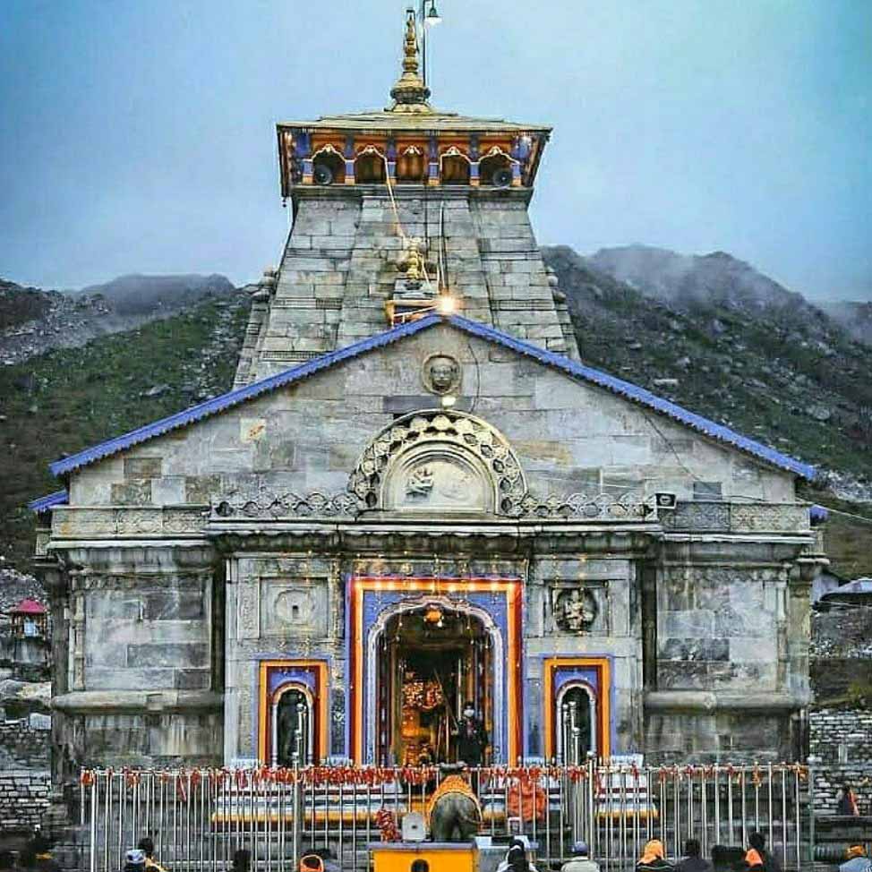
Gangotri and Yamunotri are prominent pilgrimage sites in Uttarkashi, India. Gangotri is revered as the source of the Ganges River, while Yamunotri is dedicated to the Yamuna River. Both Dhams hold cultural and spiritual significance, attracting devotees seeking blessings and purification in the Himalayan region

How To Reach Uttarkashi

To reach Uttarkashi, a town in the Indian state of Uttarakhand, you have several transportation options depending on your starting point:

By Air: The nearest airport to Uttarkashi is Jolly Grant Airport in Dehradun, which is approximately 190 kilometers away. From there, you can hire a taxi or take a bus to Uttarkashi.

By Train: The nearest railway station to Uttarkashi is Rishikesh Railway Station, which is around 180 kilometers away. From Rishikesh, you can hire a taxi or take a bus to Uttarkashi.

By Road: Uttarkashi is well-connected by road to major cities and towns in Uttarakhand. You can either drive yourself or take a bus from nearby cities like Dehradun, Rishikesh, or Haridwar. There are also shared taxis and private cab services available from these cities to Uttarkashi.

Once you reach Uttarkashi, you can explore its scenic beauty, religious sites, and trekking routes in the nearby Himalayan ranges.

Adi Kailash Aadi Kailash

Adi Kailash

Adi Kailash, also known as Chhota Kailash, is a sacred mountain located in the Indian state of Uttarakhand. Standing tall…

Mukhba Mukhba1

Mukhba

Mukhba is a village located in the Uttarkashi district of the Indian state of Uttarakhand. It holds significant religious importance

Dharali Dharali village

Dharali

Dharali is a picturesque village situated near Harsil in the Uttarkashi district of Uttarakhand, India. It’s located close to the

How To Reach Chamoli

Chamoli District, located in the northern state of Uttarakhand, India, is a picturesque region known for its stunning landscapes, diverse flora, and religious significance. The district is home to several major rivers, including the Alaknanda, Mandakini, and Nandakini, adding to its natural beauty and providing a lifeline to the local communities

How To Reach Chamoli

To reach Chamoli, a district located in the Indian state of Uttarakhand, you have several options depending on your starting point and mode of transportation:

By Air: The nearest airport to Chamoli is the Jolly Grant Airport in Dehradun, which is approximately 222 kilometers away. From Dehradun, you can hire a taxi or take a bus to Chamoli.

By Train: The nearest railway station to Chamoli is Rishikesh Railway Station, which is about 202 kilometers away. From Rishikesh, you can hire a taxi or take a bus to Chamoli.

By Road: Chamoli is well-connected by road to major cities and towns in Uttarakhand and neighboring states. You can reach Chamoli by bus or private vehicle. The road journey offers picturesque views of the Himalayas and the scenic beauty of Uttarakhand.

Adi Kailash Aadi Kailash

Adi Kailash

Adi Kailash, also known as Chhota Kailash, is a sacred mountain located in the Indian state of Uttarakhand. Standing tall…

Auli Bugyal uttarakhand auli bugyal

Auli Bugyal

Auli Bugyal, often simply referred to as Auli, is a picturesque hill station and ski resort located in the Chamoli

Joshimath joshimath12

Joshimath

Joshimath is a town in the Chamoli district of Uttarakhand, India. Situated in the Garhwal region of the Himalayas, it

How To Reach Ranikhet

Ranikhet is a beautiful hill station in Uttarakhand, sitting about 6,132 feet above sea level. Its name means “Queen’s Meadow,” and it’s famous for its stunning views of the Himalayas. Originally a British cantonment, Ranikhet has a charming mix of colonial buildings and lush greenery. The town is surrounded by pine, oak, and deodar forests, creating a peaceful atmosphere that attracts nature lovers. Ranikhet is also known for having one of the highest golf courses in Asia, providing a unique experience for visitors.

How To Reach Ranikhet

Ranikhet, a beautiful hill station in Uttarakhand, India, is a popular tourist destination known for its serene beauty and pleasant climate. Here’s how you can reach Ranikhet:

By Air: The nearest airport to Ranikhet is the Pantnagar Airport, located approximately 110 kilometers away. From Pantnagar, you can hire a taxi or take a bus to reach Ranikhet. The airport has regular flights from Delhi.

By Train: The nearest railway station to Ranikhet is Kathgodam, which is around 80 kilometers away. Kathgodam is well-connected to major cities like Delhi, Lucknow, and Kolkata. From Kathgodam, you can hire a taxi or take a bus to reach Ranikhet. There are also shared taxis and buses available from outside the railway station.

By Road: Ranikhet is well-connected by road to major cities like Delhi, Nainital, and Almora. You can drive to Ranikhet or take a bus from these cities. There are regular bus services from Delhi, Haldwani, Nainital, and other nearby towns to Ranikhet. The roads leading to Ranikhet offer scenic views, making the journey enjoyable.

Adi Kailash Aadi Kailash

Adi Kailash

Adi Kailash, also known as Chhota Kailash, is a sacred mountain located in the Indian state of Uttarakhand. Standing tall…

Almora almora almora

Almora

Almora is a picturesque town in the state of Uttarakhand, India. It is situated in the Kumaon region of the

Mukteshwar Mukteshwar

Mukteshwar

Mukteshwar is a serene hill station located in the Nainital district of Uttarakhand, India. It’s renowned for its natural beauty,

Nainital Nainital

Nainital

Nainital is a popular hill station and tourist destination located in the Kumaon region of the Indian state of Uttarakhand.

How To Reach Bhimtal

Bhimtal is a picturesque town located in the Nainital district of the Indian state of Uttarakhand. It’s renowned for its natural beauty, serene lake, and tranquil surroundings.

How To Reach Bhimtal

To reach Bhimtal, a picturesque town in the Indian state of Uttarakhand, you have several options depending on your starting point and preference for travel mode:

By Air: The nearest airport to Bhimtal is the Pantnagar Airport (IXP), located approximately 58 kilometers away. You can take a taxi or a bus from the airport to Bhimtal.

By Train: The nearest railway station to Bhimtal is Kathgodam Railway Station (station code: KGM), which is around 30 kilometers away. Kathgodam is well-connected to major cities like Delhi, Kolkata, and Lucknow. From Kathgodam, you can hire a taxi or board a bus to Bhimtal.

By Road:
From Delhi:
Bhimtal is approximately 300 kilometers from Delhi. You can drive or take a bus to reach Bhimtal. The journey takes around 7-8 hours depending on traffic and road conditions.
From Kathgodam: If you arrive by train at Kathgodam, you can easily hire a taxi or board a bus to Bhimtal, which is about an hour’s drive away.
From other nearby cities: Bhimtal is well-connected by road to other nearby cities like Nainital, Haldwani, and Almora. You can find regular buses or hire taxis to reach Bhimtal from these places.

By Bus: Uttarakhand Road Transport Corporation (UKRTC) operates regular bus services to Bhimtal from various cities in Uttarakhand as well as from Delhi. You can check the schedules and book tickets online or at the respective bus stations.

Adi Kailash Aadi Kailash

Adi Kailash

Adi Kailash, also known as Chhota Kailash, is a sacred mountain located in the Indian state of Uttarakhand. Standing tall…

Bhowali uttarakhand bhowali 22

Bhowali

Bhowali is a small town located in the Nainital district of Uttarakhand, India. Situated at an altitude of about 1,706

Sattal UTTARAKHAND SATTAL NAINITAL

Sattal

Sattal is a freshwater lake located in the Indian state of Uttarakhand, near the popular hill station of Nainital. The

Nainital Nainital

Nainital

Nainital is a popular hill station and tourist destination located in the Kumaon region of the Indian state of Uttarakhand.

How To Reach Chakrata

Chakrata is a picturesque hill station located in the Dehradun district of Uttarakhand, India. Situated at an altitude of around 2,118 meters (6,948 feet), it’s known for its natural beauty, serene environment, and panoramic views of the Himalayas.

How To Reach Chakrata

Chakrata is a beautiful hill station located in the Indian state of Uttarakhand. Here’s how you can reach Chakrata:

By Air: The nearest airport to Chakrata is the Jolly Grant Airport in Dehradun, which is about 110 kilometers away. From the airport, you can hire a taxi or take a bus to Chakrata.

By Train: The nearest railway station to Chakrata is in Dehradun, which is well-connected to major cities in India. From Dehradun, you can either hire a taxi or take a bus to reach Chakrata.

By Road: Chakrata is well-connected by road to major cities like Dehradun, Delhi, and Mussoorie. You can either drive to Chakrata or take a bus from Dehradun or Delhi. The road journey offers scenic views of the Himalayan mountains.

Bus: There are regular bus services available from Dehradun to Chakrata. You can take a state-run bus or opt for private buses. The journey takes around 4-5 hours depending on the traffic and road conditions.

Adi Kailash Aadi Kailash

Adi Kailash

Adi Kailash, also known as Chhota Kailash, is a sacred mountain located in the Indian state of Uttarakhand. Standing tall…

Dehradun uttarakhand dehradun 22

Dehradun

Dehradun is the capital city of the Indian state of Uttarakhand, located in the northern part of the country.It is

Haridwar uttarakhand haridwar 22

Haridwar

Haridwar is an ancient city located in the state of Uttarakhand in northern India. It holds great religious and cultural

Rishikesh rishikesh tera manjila temple

Rishikesh

Rishikesh is a beautiful city in India, known as the “Yoga Capital of the World.” It’s situated in the northern

How To Reach Mussoorie

Mussoorie is a captivating hill station nestled in the Garhwal region of the Indian state of Uttarakhand. Situated at an altitude of around 6,000 feet in the foothills of the Himalayas, it’s renowned for its breathtaking panoramic views of the surrounding mountains, lush greenery, and pleasant climate.

How To Reach Mussoorie

Mussoorie, a popular hill station in the Indian state of Uttarakhand, can be reached by various modes of transportation depending on your starting point. Here’s how to reach Mussoorie from different locations:

By Air:
Jolly Grant Airport, Dehradun (DED):
The nearest airport to Mussoorie is Jolly Grant Airport, located in Dehradun, approximately 54 km away. From there, you can hire a taxi or take a bus to Mussoorie, which takes around 1.5 to 2 hours depending on traffic and road conditions.

By Train: Dehradun Railway Station: Dehradun is the nearest major railway station to Mussoorie, located about 34 km away. From Dehradun, you can hire a taxi or take a bus to Mussoorie.

Haridwar Railway Station: Haridwar is another major railway station in Uttarakhand, located approximately 90 km away from Mussoorie. From Haridwar, you can hire a taxi or take a bus to reach Mussoorie.

    By Road:
    From Delhi:
    Mussoorie is around 280 km from Delhi and can be reached by road via NH 334 and NH 7. You can drive your own vehicle, hire a taxi, or take a bus from Delhi to Mussoorie. The journey takes around 6-7 hours depending on traffic and road conditions.

    From Dehradun: Mussoorie is around 34 km from Dehradun and can be reached by road via Rajpur Road. You can hire a taxi or take a bus from Dehradun to Mussoorie, which takes around 1-2 hours.

    From Haridwar: Mussoorie is around 90 km from Haridwar and can be reached by road via NH 34. You can hire a taxi or take a bus from Haridwar to Mussoorie, which takes around 3-4 hours. By Bus: Several government and private buses operate from nearby cities like Delhi, Dehradun, and Haridwar to Mussoorie. You can book bus tickets online or at respective bus terminals.

      Local Transportation: Once you reach Mussoorie, you can explore the town on foot or hire local taxis or auto-rickshaws for sightseeing.

      Adi Kailash Aadi Kailash

      Adi Kailash

      Adi Kailash, also known as Chhota Kailash, is a sacred mountain located in the Indian state of Uttarakhand. Standing tall…

      FRI Dehradun DEHRADUN FRI

      FRI Dehradun

      The Forest Research Institute (FRI) is located in Dehradun, Uttarakhand, India. It is one of the oldest and premier institutions

      Dehradun uttarakhand dehradun 22

      Dehradun

      Dehradun is the capital city of the Indian state of Uttarakhand, located in the northern part of the country.It is

      How To Reach Lansdowne

      Lansdowne is a picturesque hill station located in the Indian state of Uttarakhand. Named after the then Viceroy of India, Lord Lansdowne, this hill town offers stunning views of the Himalayas and is popular for its pleasant weather, making it a sought-after destination for tourists seeking a peaceful retreat.

      Lansdowne Location

      Situated at an altitude of around 1,700 meters above sea level, it’s known for its tranquil surroundings, lush greenery, and colonial-era charm.

      How To Reach Lansdowne

      To reach Lansdowne, a hill station in Uttarakhand, India, you have a few transportation options depending on your starting point:

      By Road: Lansdowne is well-connected by road from major cities like Delhi, Dehradun, and Haridwar. You can either drive yourself or hire a taxi/private car. The road journey offers scenic views, especially if you’re driving through the hilly terrain.

      By Train: The nearest railway station to Lansdowne is Kotdwar Railway Station, located around 40 kilometers away. From Kotdwar, you can hire a taxi or take a bus to reach Lansdowne.

      By Air: The nearest airport to Lansdowne is Jolly Grant Airport in Dehradun, which is around 150 kilometers away. From the airport, you can hire a taxi or take a bus to reach Lansdowne.

      Once you reach Lansdowne, you can explore its scenic beauty, historical sites, and enjoy various outdoor activities like trekking, bird watching, and nature walks.

      Adi Kailash Aadi Kailash

      Adi Kailash

      Adi Kailash, also known as Chhota Kailash, is a sacred mountain located in the Indian state of Uttarakhand. Standing tall…

      Haridwar uttarakhand haridwar 22

      Haridwar

      Haridwar is an ancient city located in the state of Uttarakhand in northern India. It holds great religious and cultural

      Rishikesh rishikesh tera manjila temple

      Rishikesh

      Rishikesh is a beautiful city in India, known as the “Yoga Capital of the World.” It’s situated in the northern

      Devprayag Devprayag, uttarakhand , alaknanda, bhagirathi river, confluence

      Devprayag

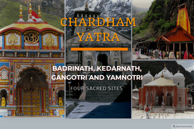
      Char Dham Yatra           Do Dham Yatra             Teen Dham Yatra     

      How To Reach Harsil

      Harsil is a picturesque village situated in the Uttarkashi district of Uttarakhand, India. Nestled amidst the breathtaking beauty of the Himalayas, it’s renowned for its natural charm, serene environment, and the gushing Bhagirathi River flowing through it.

      Harsil Location

      Situated at an altitude of around 7,860 feet (2,396 meters) above sea level, Harsil is nestled amidst the towering Himalayan peaks and lush greenery. It lies on the banks of the Bhagirathi River, which is a tributary of the Ganges.

      How To Reach Harsil

      Harsil is a beautiful village located in the Indian state of Uttarakhand, nestled amidst the stunning Himalayan mountains. Here’s how you can reach Harsil:

      By Air: The nearest airport to Harsil is the Jolly Grant Airport in Dehradun, which is approximately 225 kilometers away. From Dehradun, you can hire a taxi or take a bus to reach Harsil. The drive from Dehradun to Harsil takes around 8-9 hours, depending on road conditions.

      By Train: The nearest railway station to Harsil is the Dehradun Railway Station. From there, you can either hire a taxi or take a bus to reach Harsil. The road journey from Dehradun to Harsil takes around 8-9 hours.

      By Road: Harsil is well-connected by road to major cities like Dehradun, Rishikesh, Haridwar, and Delhi. You can either drive to Harsil by your own vehicle or hire a taxi from any of these cities. The road journey offers breathtaking views of the Himalayas and passes through picturesque towns and villages.

      Bus Services: Uttarakhand Roadways operates regular bus services from major cities like Dehradun, Rishikesh, and Haridwar to Harsil. You can check the bus schedule and book tickets in advance for a convenient journey.

      Private Taxis: Private taxis are also available from major cities like Dehradun, Rishikesh, and Haridwar to Harsil. You can either book a taxi in advance or hire one upon arrival at the respective cities.

      Adi Kailash Aadi Kailash

      Adi Kailash

      Adi Kailash, also known as Chhota Kailash, is a sacred mountain located in the Indian state of Uttarakhand. Standing tall…

      Mukhba Mukhba1

      Mukhba

      Mukhba is a village located in the Uttarkashi district of the Indian state of Uttarakhand. It holds significant religious importance

      Dharali Dharali village

      Dharali

      Dharali is a picturesque village situated near Harsil in the Uttarkashi district of Uttarakhand, India. It’s located close to the

      How To Reach Munsiyari

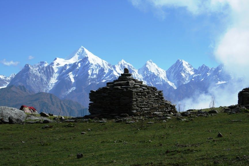
      Munsiyari is a picturesque hill station nestled in the Pithoragarh district of Uttarakhand, India. Situated at an elevation of around 7,200 feet (2,200 meters) above sea level, it’s renowned for its stunning views of the Himalayan peaks, including the Panchachuli range. The name “Munsiyari” translates to “a place with snow,” and it aptly describes the snowy vistas it offers.

      How To Reach Munsiyari

      Munsiyari is a charming hill station located in the Indian state of Uttarakhand. Here’s how you can reach Munsiyari:

      By Air: The nearest airport to Munsiyari is Pantnagar Airport, which is approximately 312 kilometers away. From Pantnagar, you can hire a taxi or take a bus to reach Munsiyari. However, keep in mind that the journey from Pantnagar to Munsiyari by road can take around 10-12 hours due to the mountainous terrain.

      By Train: The nearest railway station to Munsiyari is Kathgodam Railway Station, which is around 286 kilometers away. From Kathgodam, you can either hire a taxi or take a bus to reach Munsiyari. The journey from Kathgodam to Munsiyari takes approximately 10-12 hours by road.

      By Road: Munsiyari is well-connected by road with major cities like Delhi, Dehradun, and Kathgodam. You can either drive to Munsiyari or take a bus from these cities. Buses operated by the Uttarakhand Road Transport Corporation (UTC) and private operators ply regularly between Munsiyari and cities like Delhi, Dehradun, Haldwani, and Kathgodam.

      Adi Kailash Aadi Kailash

      Adi Kailash

      Adi Kailash, also known as Chhota Kailash, is a sacred mountain located in the Indian state of Uttarakhand. Standing tall…

      Bhowali uttarakhand bhowali 22

      Bhowali

      Bhowali is a small town located in the Nainital district of Uttarakhand, India. Situated at an altitude of about 1,706

      Didihat PITHORAGARH DIDHAT

      Didihat

      Didihat is a town located in the Pithoragarh district of the Indian state of Uttarakhand. Situated amidst the picturesque Himalayan

      Pithoragarh uttarakhand Pithoragarh

      Pithoragarh

      Pithoragarh is a district located in the northern state of Uttarakhand, India. It is situated in the Kumaon region and

      Contact Us