1. Where is Gangolihat located?
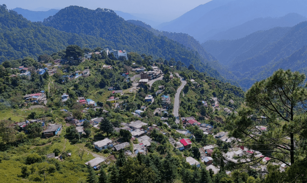
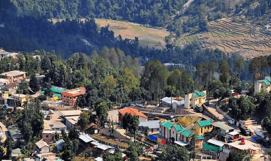
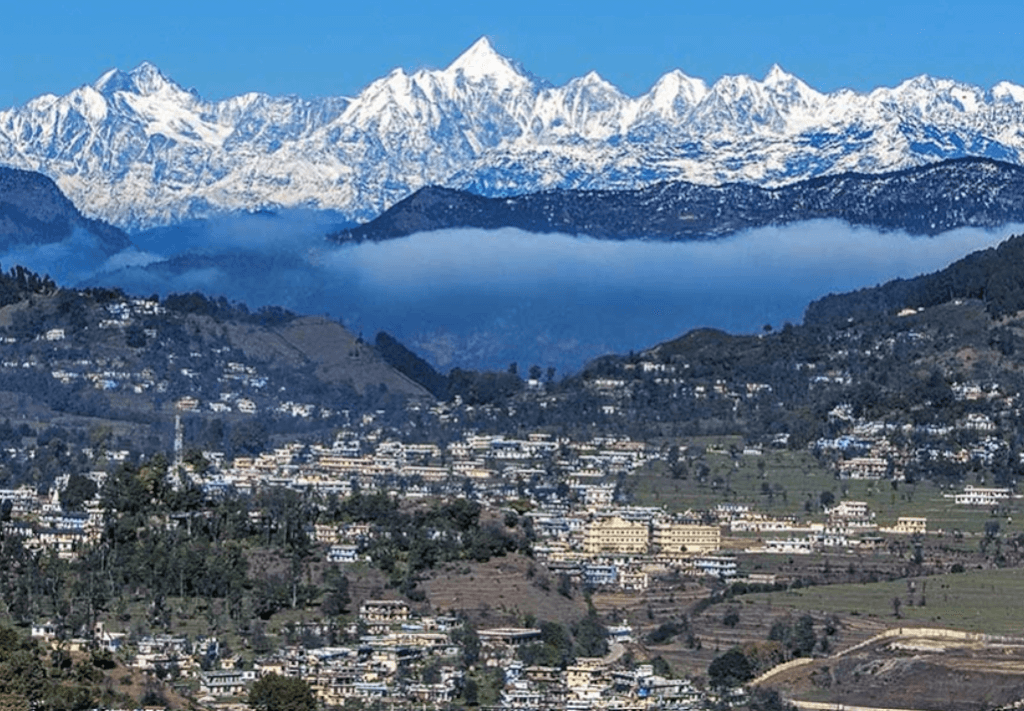
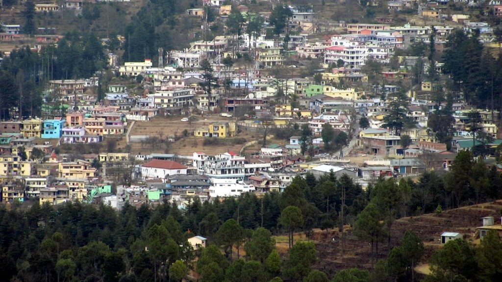
Gangolihat is located in the Pithoragarh district of Uttarakhand, India, nestled in the Kumaon region of the Himalayas.
2. What is the significance of Gangolihat?
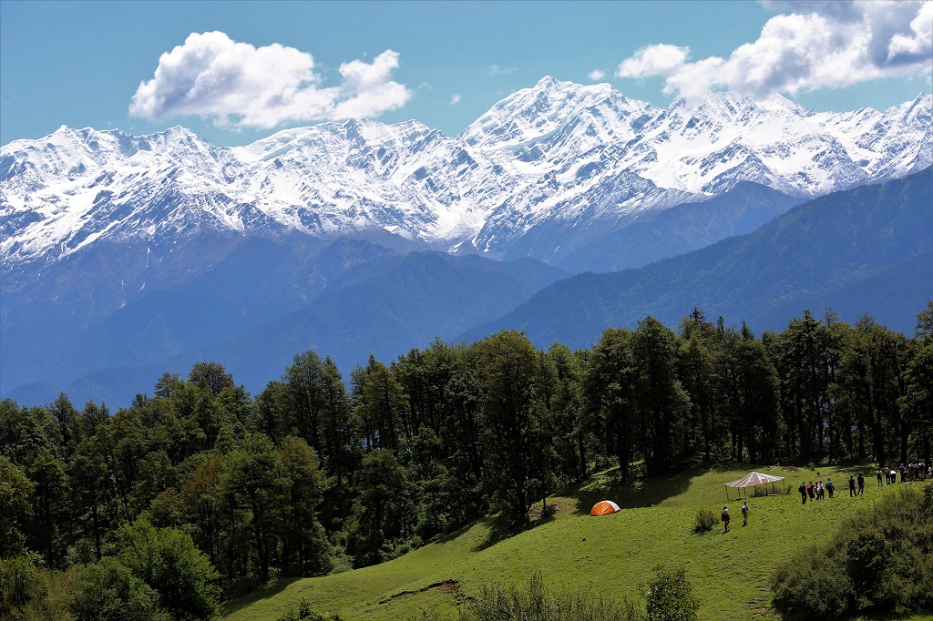
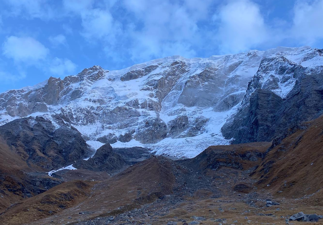
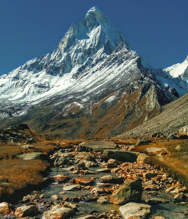
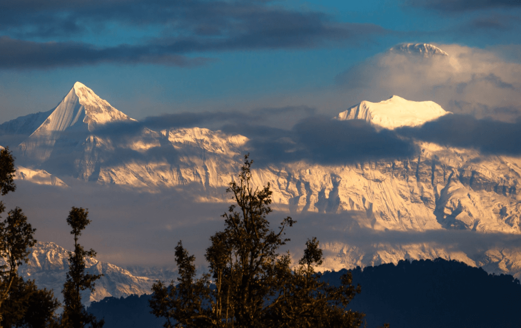
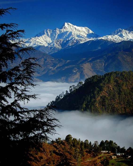
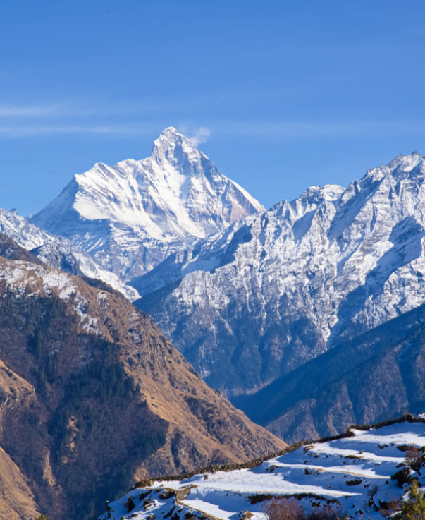
Gangolihat is renowned for its ancient temples, spiritual significance, and panoramic views of the surrounding Himalayan peaks.
3. What is the best time to visit Gangolihat?
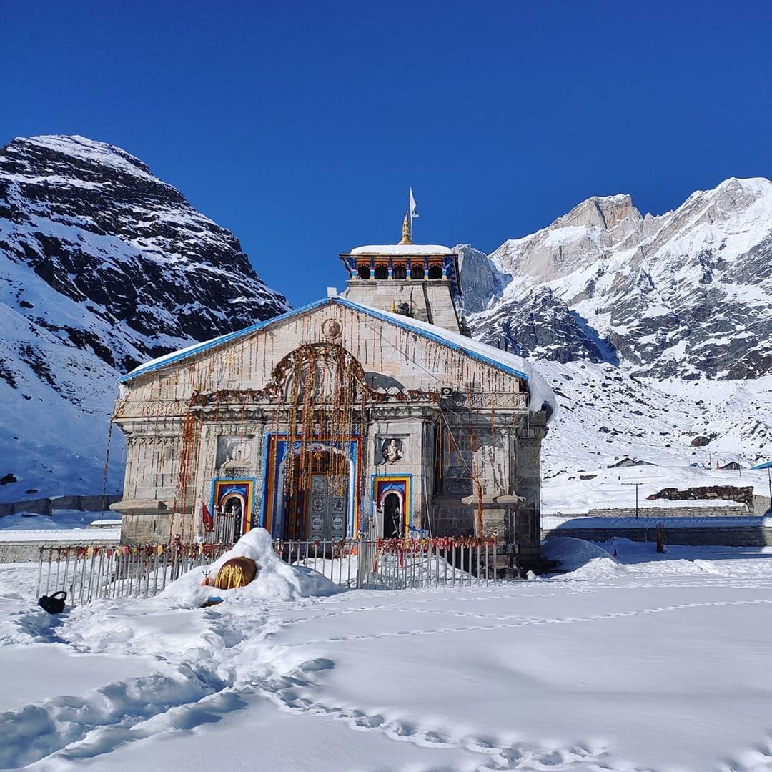
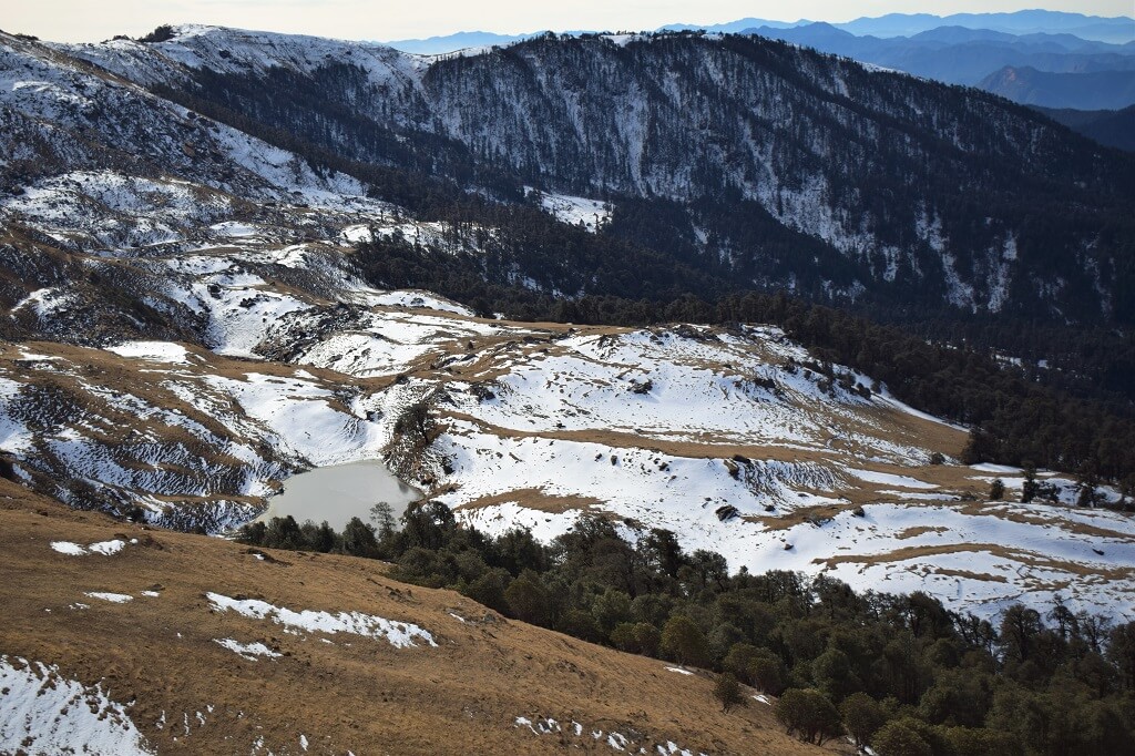
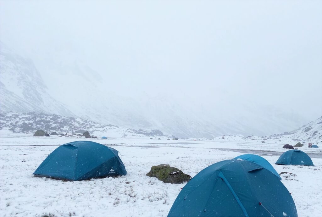
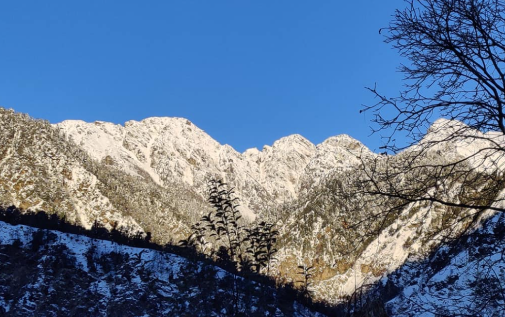
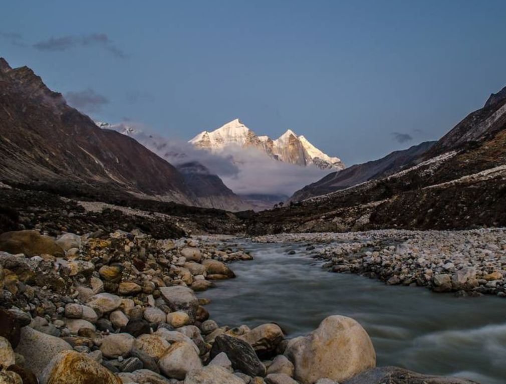
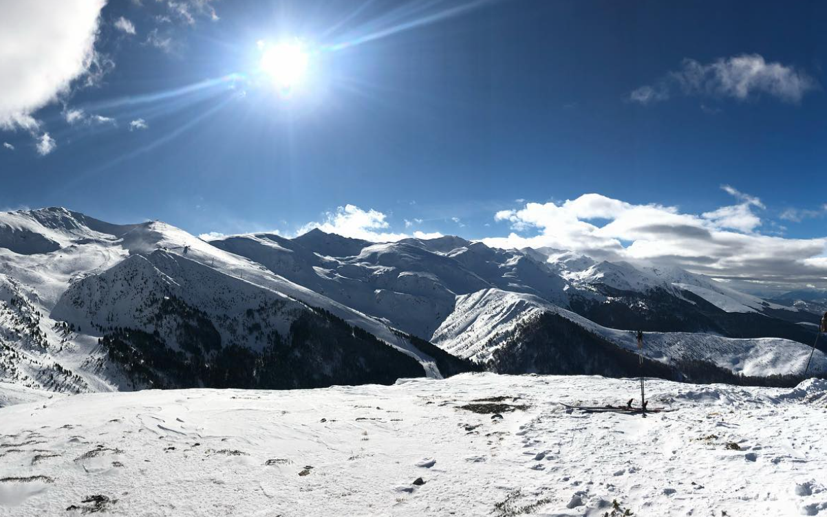
The best time to visit Gangolihat is during the summer months (March to June) when the weather is pleasant and conducive to outdoor activities. The monsoon season (July to September) brings lush greenery, while winter (October to February) offers snowy landscapes.
4. What are the accommodation options in Gangolihat?
Gangolihat offers various accommodation options, including hotels, guesthouses, and homestays, providing visitors with a comfortable stay amidst nature.
5. How can I reach Gangolihat?
Gangolihat is accessible by road from major cities like Delhi, Dehradun, and Kathgodam. The nearest railway station is Kathgodam, and the closest airport is Pantnagar Airport.
6. What are the popular attractions in Gangolihat?
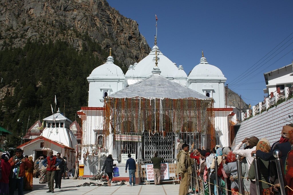
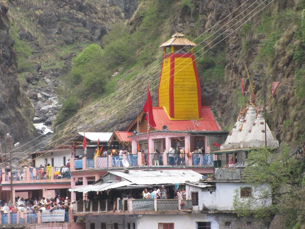
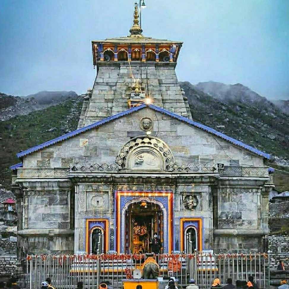
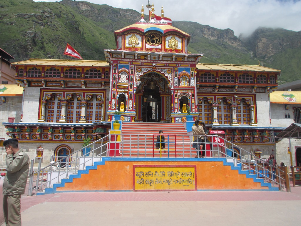
Gangolihat is home to ancient temples such as Hat Kalika Temple, Chamunda Mandir, and Vaishnavi Mandir, which attract pilgrims and tourists alike.
7. Is Gangolihat suitable for family vacations?
Yes, Gangolihat is an ideal destination for family vacations, offering a serene environment, cultural experiences, and opportunities for spiritual exploration.
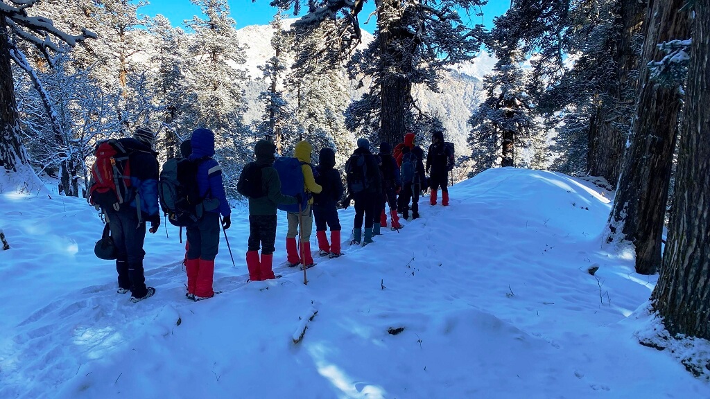
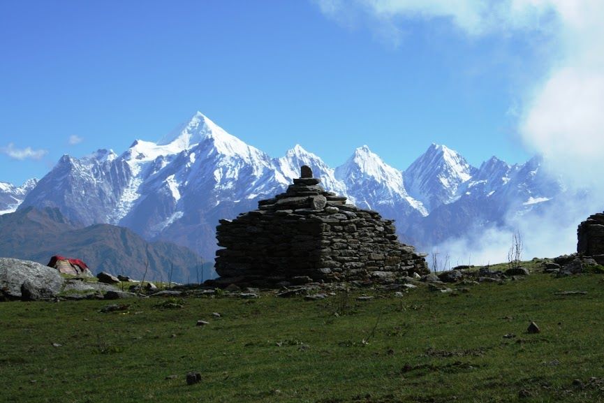
8. Are there any trekking trails near Gangolihat?
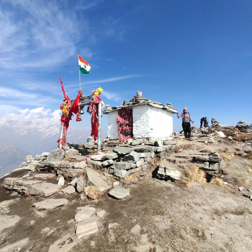
Yes, Gangolihat offers trekking trails like the one leading to Patal Bhuvaneshwar Cave Temple, an underground shrine dedicated to Lord Shiva.
9. What are the dining options in Gangolihat?
Gangolihat has local eateries and restaurants serving traditional Kumaoni cuisine, including dishes like Bhatt ki Churkani, Dubke, and Ras.
10. Can I visit Gangolihat for a day trip from nearby cities?
Yes, Gangolihat can be visited for a day trip from nearby cities like Pithoragarh and Almora, allowing visitors to explore its temples and scenic beauty.
Adi kailash Yatra Package From Kathgodam

How To Reach Sankri
Sankri is a picturesque village located in the Uttarkashi district of the Indian state of Uttarakhand. It serves as a…
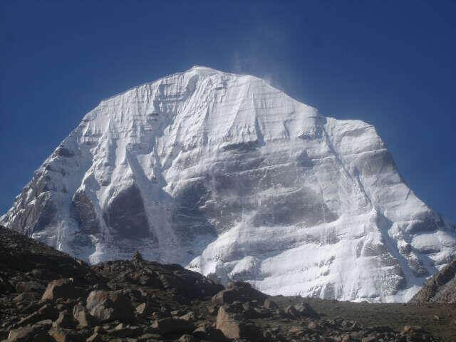
Adi Kailash
Adi Kailash, also known as Chhota Kailash, is a sacred mountain located in the Indian state of Uttarakhand. Standing tall…
Adi kailash Yatra from Delhi
Yatra Overview Reporting Time & Place :- Ajmeri Gate Side at 0900 Hr Save 20% on Yatra CostRs 42,000/ (Delhi to Delhi)…
Adi Kailash Yatra KMVN
Adi Kailash & Om Parvat Yatra Trek Overview Duration: 06Nights / 07 Days …