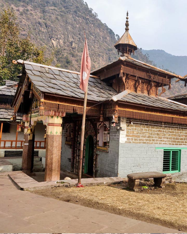
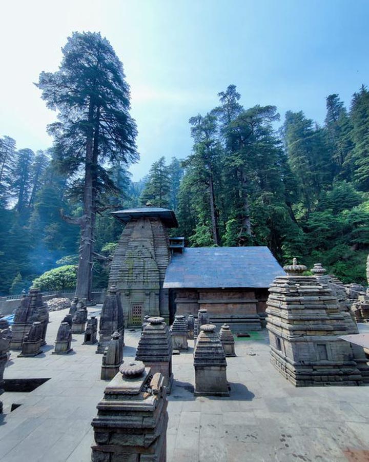
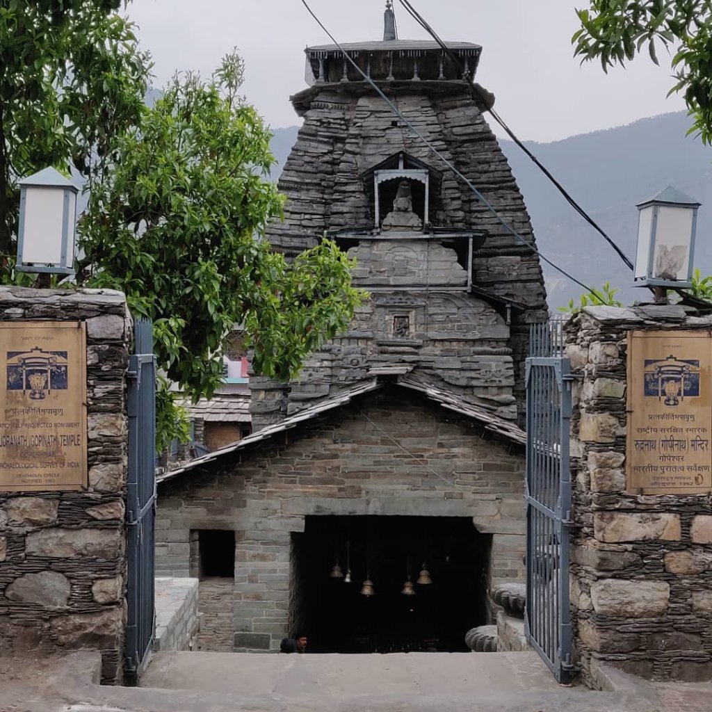
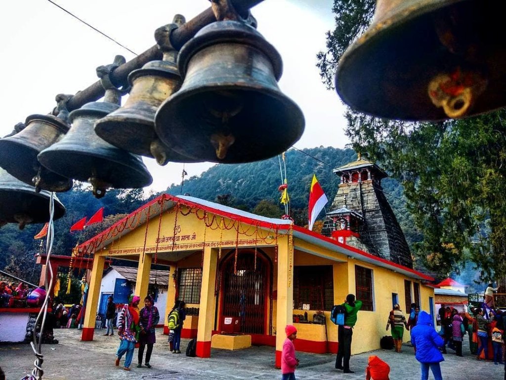
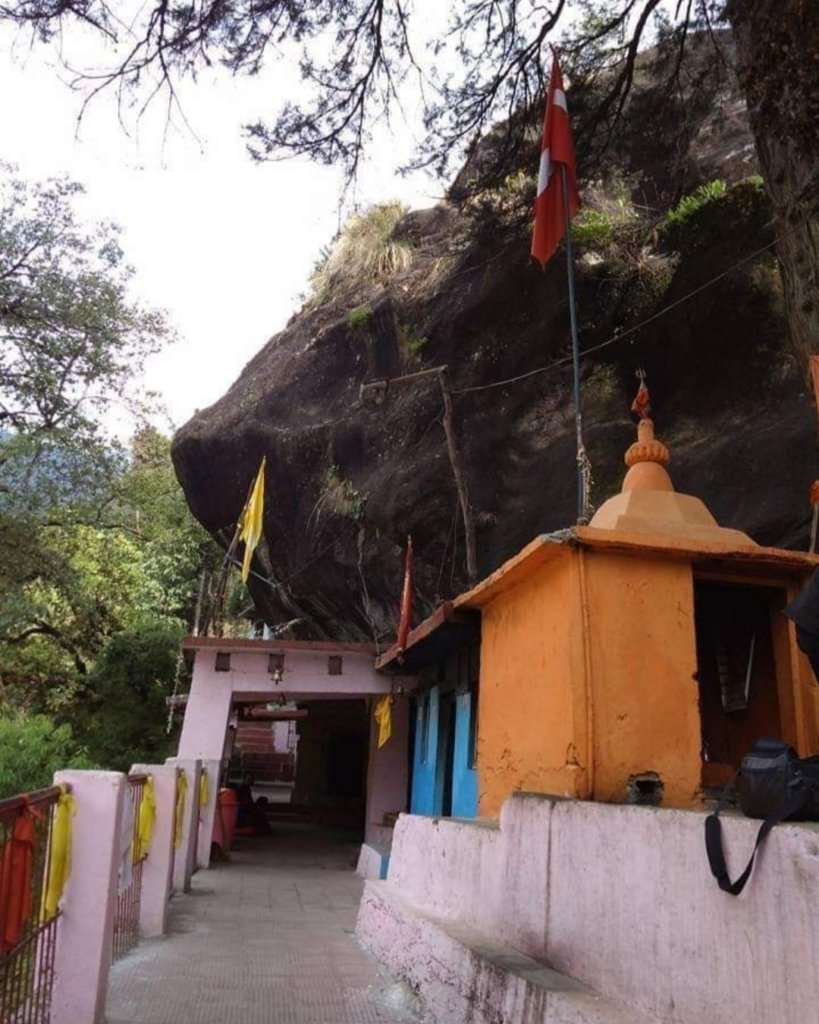
Pauri

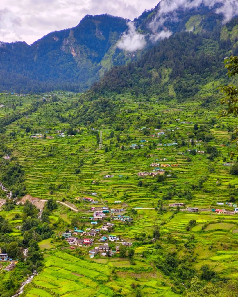
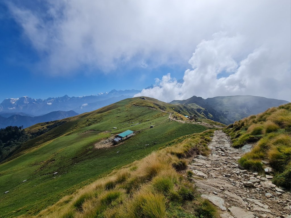
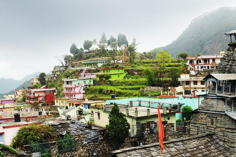
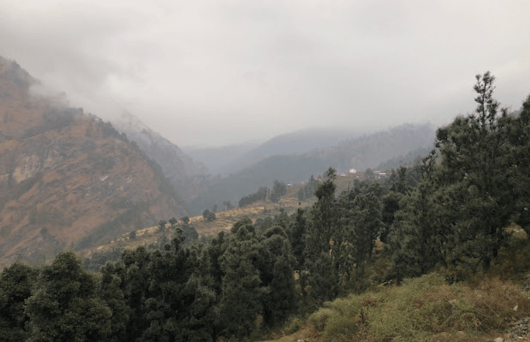
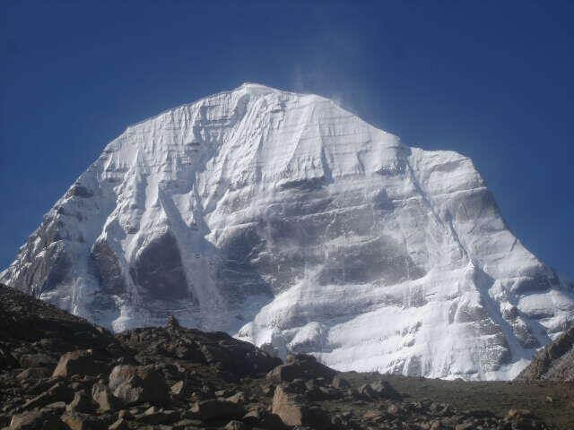
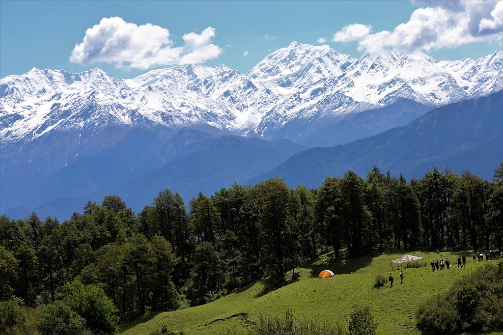
Pauri is a town and a municipal board in the Pauri Garhwal district of Uttarakhand, India. It’s situated at an altitude of around 1,814 meters above sea level and is known for its scenic beauty and as a base for trekking and adventure activities in the Garhwal region of the Himalayas. Pauri offers panoramic views of the snow-capped peaks of the Himalayas, making it a popular tourist destination for nature lovers and adventure enthusiasts.

Pauri Garhwal

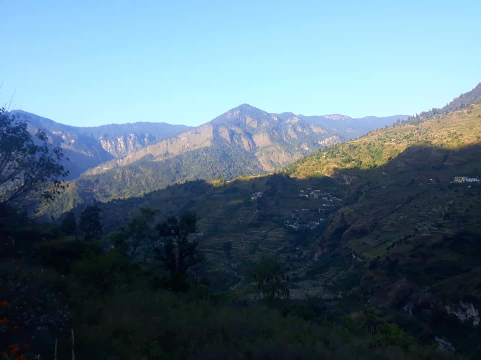
Pauri, nestled in the breathtaking Garhwal Himalayas, serves as the heart of Uttarakhand, with its serene landscapes and cultural richness. As the headquarters of the Pauri Garhwal district and the Garhwal division, it offers a gateway to explore the beauty of the region.
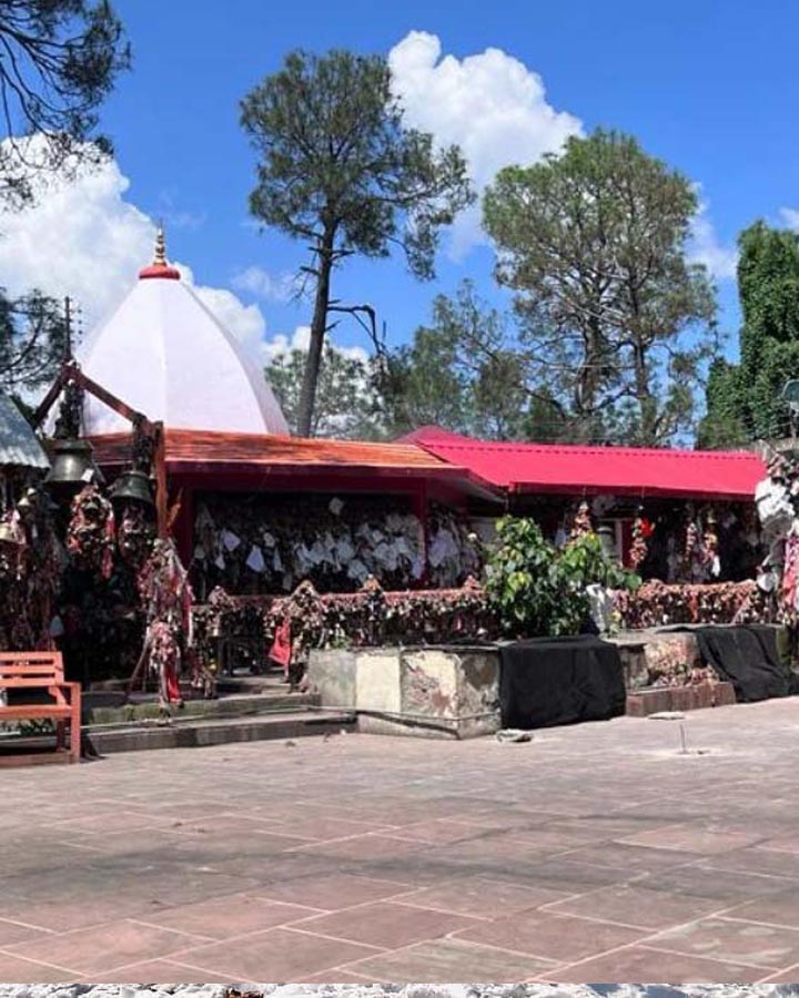
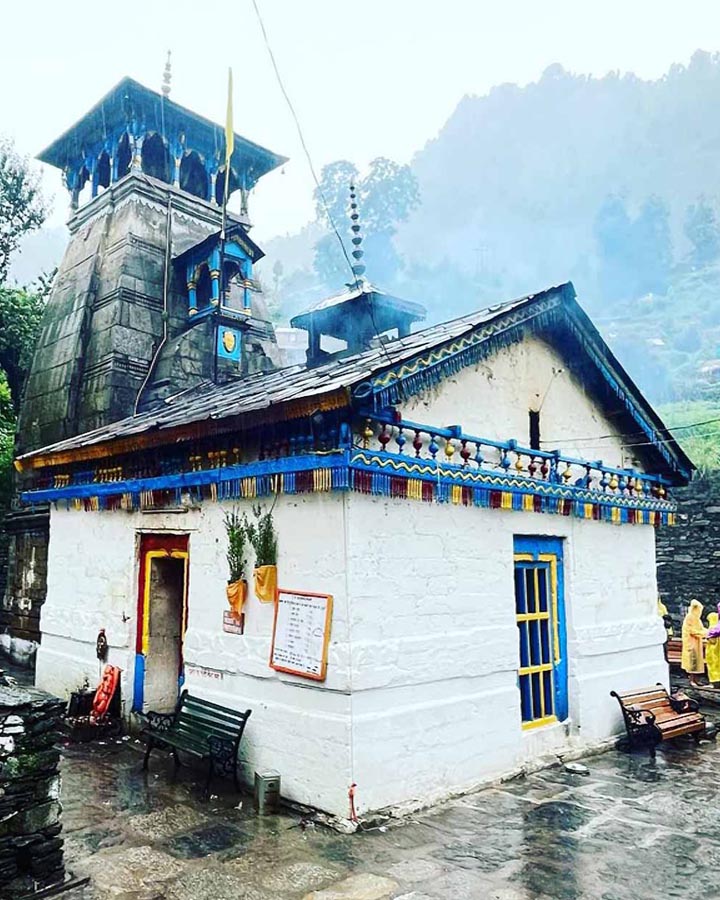
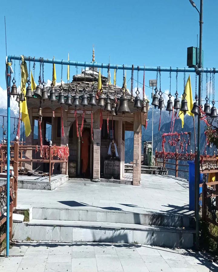
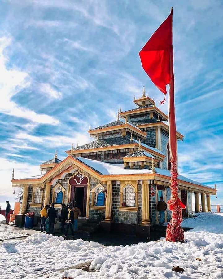
Surrounded by lush woodlands and majestic snow-capped peaks, Pauri captivates visitors with its pristine charm. Popular attractions like Khirsu, Doodhatoli, Jwalpa Devi Temple, Kandoliya Temple, Devprayag, Chaukhamba View Point, Kyunkaleshwar Mahadev Temple, and Tarkeshwar Mahadev Temple offer glimpses of the region’s spirituality and natural splendor.

Some Significant Aspects

Pauri Garhwal, located in the Indian state of Uttarakhand, holds several important keys to its cultural, historical, and natural heritage. Here are some significant aspects:

Spiritual and Religious Significance: Pauri Garhwal is known for its numerous temples and religious sites. The region is considered sacred by Hindus due to its association with several mythological stories and pilgrimage sites such as Kedarnath, Badrinath, and Tungnath.

Natural Beauty: Pauri Garhwal is blessed with breathtaking natural beauty, including lush green valleys, majestic mountains, and serene rivers. It attracts nature lovers, trekkers, and adventure enthusiasts from around the world.

Cultural Diversity: The region is home to various indigenous communities, each with its own unique culture, traditions, and languages. The cultural diversity adds richness to the region’s heritage.

Historical Significance: Pauri Garhwal has a rich historical heritage dating back to ancient times. It was once part of the Kedar Khand region mentioned in Hindu scriptures. The area has witnessed the rule of various dynasties and has played a significant role in the history of Uttarakhand.

Economic Importance: Agriculture, horticulture, and tourism are the primary economic activities in Pauri Garhwal. The region’s fertile lands support the cultivation of crops such as rice, wheat, and pulses, while tourism contributes significantly to its economy.

Educational Institutions: Pauri Garhwal is home to several educational institutions, including schools, colleges, and universities. These institutions play a vital role in providing quality education and fostering intellectual growth in the region.

These are just a few key aspects that highlight the importance of Pauri Garhwal in the cultural, historical, and socio-economic landscape of Uttarakhand and India as a whole.

Activities In Pauri

Offers a plethora of activities for nature lovers, adventure seekers, and those looking to immerse themselves in the local culture. Here are some activities you can enjoy in Pauri Garhwal:

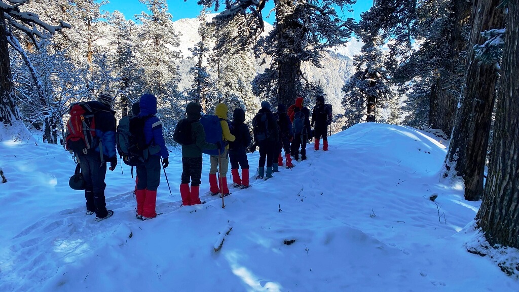
Trekking: Pauri Garhwal is a paradise for trekkers with numerous trails offering breathtaking views of the Himalayas. Popular treks include the Khirsu, Binsar Mahadev, and Tara Kund treks.

Spiritual Exploration: Visit the numerous temples and religious sites scattered across Pauri Garhwal, including the Kandoliya Temple, Kyunkaleshwar Mahadev Temple, and Nag Dev Temple, to experience the spiritual essence of the region.

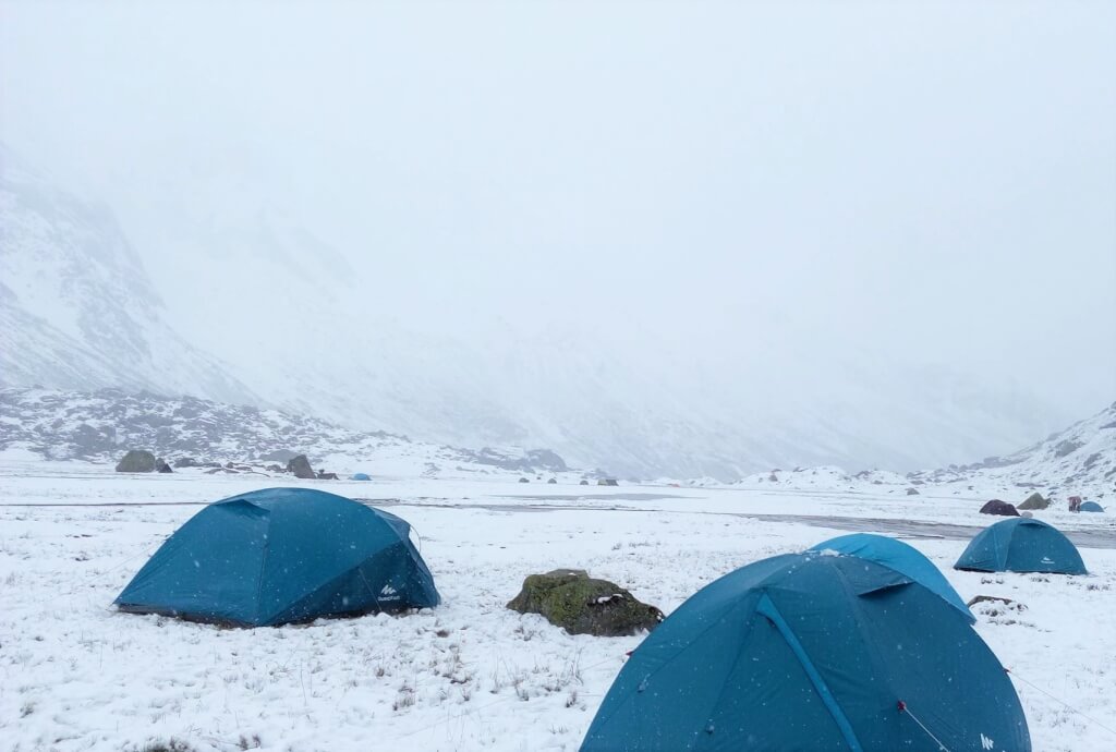
Camping: Set up camp amidst the serene surroundings of Pauri Garhwal for a truly immersive experience in nature. Many camping sites offer stunning views of the Himalayas and the opportunity to indulge in activities like bonfires and stargazing.

River Rafting: If you’re seeking adventure, head to the nearby rivers like the Ganges and Alaknanda for an exhilarating river rafting experience. The rapids in these rivers offer thrills for both beginners and experienced rafters.

Village Tourism: Explore the quaint villages of Pauri Garhwal to get a glimpse of the local way of life. Interact with the friendly villagers, learn about their traditions, and savor traditional Garhwali cuisine.

Photography: With its stunning landscapes, vibrant culture, and diverse wildlife, Pauri Garhwal provides ample opportunities for photography enthusiasts to capture some truly mesmerizing shots.

Sightseeing: Visit popular tourist attractions like the Khirsu Hill Station, Doodhatoli Range, and Dhari Devi Temple to soak in the natural beauty and cultural heritage of the region.

Shopping: Don’t forget to pick up souvenirs and local handicrafts like woolen shawls, carpets, and wooden artifacts from the markets in Pauri Garhwal to take back home as reminders of your trip.

Satpuli PAURI SATPULI

Satpuli

Satpuli is a small town located in the Pauri Garhwal district of the Indian state of Uttarakhand. It lies in…

Khirsu Khirsu, Pauri Garhwal

Khirsu

Khirsu is a quaint hill station located in the Pauri Garhwal district of Uttarakhand, India. Situated at an altitude of…

Kotdwar UTTARAKHAND Kotdwar

Kotdwar

Kotdwar, also known as Kotdwara, serves as the gateway to the picturesque Garhwal region in Uttarakhand, India. Nestled at the…

How To Reach Pauri Garhwal

By Road

Pauri Garhwal is well-connected by roads to major cities in Uttarakhand and neighboring states. You can either drive yourself or take a bus from cities like Dehradun, Haridwar, or Delhi. Buses and taxis are also available from nearby towns and cities.

Once you reach Pauri Garhwal, you can explore its scenic beauty, trekking trails, and cultural heritage. It’s a beautiful destination nestled in the Garhwal Himalayas, offering breathtaking views of the surrounding mountains and valleys.

By Train

The nearest railway station to Pauri Garhwal is Kotdwar Railway Station, which is around 108 kilometers away. From Kotdwar, you can hire a taxi or take a bus to Pauri Garhwal.

By Air

The nearest airport to Pauri Garhwal is Jolly Grant Airport in Dehradun, which is approximately 155 kilometers away. From there, you can hire a taxi or take a bus to Pauri Garhwal.

Frequently Asked Questions Registrations

1. Where is Pauri located?

Pauri is located in the Garhwal region of Uttarakhand, India, at an altitude of approximately 1,814 meters (5,951 feet) above sea level.

2. What is the significance of Pauri?

Pauri is known for its scenic beauty, panoramic views of the Himalayas, and as a base for trekking and pilgrimage sites.

3.  When is the best time to visit Pauri?

The best time to visit Pauri is during the summer months from April to June and the autumn months from September to November when the weather is pleasant and suitable for outdoor activities.

4. What are the nearby tourist attractions from Pauri?

Nearby tourist attractions from Pauri include Khirsu, Chaukhamba Viewpoint, Kyunkaleshwar Mahadev Temple, and Dhari Devi Temple.

5. What adventure activities are available in Pauri?

  • Adventure activities in Pauri include trekking, camping, bird watching, and nature walks.

Puari Picture

Khirsu

Khirsu is a quaint hill station located in the Pauri Garhwal district of Uttarakhand, India. Situated at an altitude of around 1,700 meters above sea level, Khirsu offers stunning views of the Himalayan peaks such as Trishul, Nanda Devi, and Panchachuli.

Khirsu in Pauri Garhwal

Khirsu is a quaint hill station located in the Pauri Garhwal district of the Indian state of Uttarakhand.The name “Khirsu” is believed to have been derived from the local word “Khirsu” meaning “rice”. The area is surrounded by terraced fields of rice and wheat, adding to its picturesque charm.Khirsu offers breathtaking views of the snow-capped Himalayan peaks, making it a perfect destination for nature lovers and adventure enthusiasts.
One of the highlights of Khirsu is its untouched natural beauty and tranquility, which attracts tourists looking to escape the hustle and bustle of city life. Visitors can indulge in activities like nature walks, birdwatching, photography, and trekking in the surrounding forests. There are also some nearby attractions like the ancient temple of Ghandiyal Devta and the Ulkha Garhi Fort, which add to the charm of Khirsu.

Some Key Points about Khirsu

Scenic Beauty: Khirsu is renowned for its stunning natural beauty, surrounded by towering pine, oak, and deodar trees. The picturesque landscape offers a serene getaway from the hustle and bustle of city life.

Elevation: Situated at an elevation of 1,700 meters above sea level, Khirsu provides a refreshing escape with its cool mountain air and breathtaking views.

Himalayan Panorama: The town offers a mesmerizing 180-degree view of the majestic Himalayan range, bathed in sunlight. This panoramic vista is a major draw for tourists seeking a glimpse of the snow-capped peaks.

Apple Orchards: Khirsu is famous for its apple orchards, where sweet rosy apples are grown. Visitors can indulge in apple picking or simply enjoy the sight of lush orchards against the backdrop of the mountains.

Emerging Destination: While Khirsu has been a relatively less-traveled destination in the past, it is gaining popularity as a hill station among travelers seeking tranquility and natural beauty.

Unobstructed Views: From Khirsu, one can enjoy unobstructed views of both familiar peaks and unnamed summits of the Himalayan range. The vastness of the panorama is awe-inspiring, offering a sense of grandeur and adventure.

Overall, Khirsu presents an ideal retreat for those looking to immerse themselves in the serene ambiance of the Himalayas, away from the crowds, amidst lush greenery and towering mountains.

Activities In Khirsu

Nature Walks: Explore the lush greenery and scenic beauty of Khirsu by taking leisurely walks through its winding paths and forest trails.

Trekking: Khirsu is surrounded by beautiful trails that offer trekking opportunities for adventure enthusiasts. Trekking to nearby peaks like Pauri Garhwal and Ulka Garhi can be a thrilling experience.

Bird Watching: With its rich biodiversity, Khirsu is a paradise for bird watchers. Spend time observing the colorful avian species that inhabit the region.

Photography: Capture the stunning landscapes, vibrant flora, and exotic wildlife of Khirsu through your lens. The hill station offers ample opportunities for photography enthusiasts.

Picnicking: Pack a picnic basket and head to one of the scenic spots in Khirsu to enjoy a day out with family and friends amidst nature’s beauty.

Village Tours: Experience the local culture and way of life by taking guided tours of nearby villages. Interact with the friendly locals and learn about their customs and traditions.

Religious Exploration: Visit the ancient temples and shrines in and around Khirsu, such as the Ghandiyal Devta Temple and the Ulka Garhi Temple, to soak in the spiritual ambiance of the region.

Camping: Spend a night under the starry sky by camping at one of the designated campsites in Khirsu. Enjoy bonfires, stargazing, and storytelling amidst the wilderness.

Satpuli PAURI SATPULI

Satpuli

Satpuli is a small town located in the Pauri Garhwal district of the Indian state of Uttarakhand. It lies in…

Pauri PAURI GARHWAL

Pauri

Pauri is a town and a municipal board in the Pauri Garhwal district of Uttarakhand, India. It’s situated at an…

Kotdwar UTTARAKHAND Kotdwar

Kotdwar

Kotdwar, also known as Kotdwara, serves as the gateway to the picturesque Garhwal region in Uttarakhand, India. Nestled at the…

How To Reach Khirsu

By Road

Khirsu is well-connected by road to major cities and towns in Uttarakhand. You can either drive to Khirsu or take a bus from nearby cities like Dehradun, Rishikesh, Haridwar, or Kotdwar.

By Train

The nearest railway station to Khirsu is in Kotdwar, which is around 115 kilometers away. Once you reach Kotdwar, you can hire a taxi or use buses to reach Khirsu.

By Air

The nearest airport to Khirsu is the Jolly Grant Airport in Dehradun, which is approximately 155 kilometers away. From there, you can hire a taxi or use public transportation to reach Khirsu.

Sidhbali Temple

The Sidhbali Temple is a famous Hindu temple dedicated to Lord Hanuman, located in Kotdwar, a town in the Indian state of Uttarakhand. This temple holds significant religious importance for devotees of Lord Hanuman. The temple is situated amidst lush greenery, surrounded by the scenic beauty of the Himalayan foothills.

Sidhbali Temple In Kotdwra

The Sidhbali Temple sounds like a serene and spiritually significant place nestled by the Khoh river.The presence of great saints who have meditated there further adds to its aura of reverence and sanctity. It must be quite a tranquil spot for reflection and prayer amidst the natural beauty of Kotdwra.
Devotees visit the Sidhbali Temple to seek the blessings of Lord Hanuman for strength, protection, and courage. The temple’s architecture reflects traditional Hindu temple design, with intricate carvings and decorations adorning its structure.

Overall, the Sidhbali Temple is not only a religious landmark but also a place of tranquility and spiritual solace for pilgrims and visitors alike.

Mythology About Sidhbali Temple

The mythology surrounding Sidhbali is rich and diverse, with numerous legends and stories attributed to him. Here are some key aspects of the mythology about Sidhbali:

Birth and Early Life: According to mythology, Sidhbali was born to Parvati, the consort of Lord Shiva, in the Dattatreya family. He was born as an answer to the prayers of his childless parents, who had sought the blessings of Lord Shiva for a son. The exact circumstances of his birth and early life vary in different versions of the mythology.

Miracles and Divine Powers: Sidhbali is attributed with numerous miracles and supernatural powers, such as the ability to heal the sick, control the forces of nature, and manifest objects at will.

Establishment of Ashrams and Temples: After attaining enlightenment, Sidhbali is believed to have established ashrams (spiritual retreats) and temples dedicated to Lord Shiva in various parts of India, where he imparted spiritual teachings and guidance to his followers. These sacred sites continue to be pilgrimage destinations for devotees seeking blessings and spiritual solace.

Kotdwar UTTARAKHAND Kotdwar

Kotdwar

Kotdwar, also known as Kotdwara, serves as the gateway to the picturesque Garhwal region in Uttarakhand, India. Nestled at the…

Kashipur kashipur USN

Kashipur

Kashipur is a city located in the Udham Singh Nagar district of the Indian state of Uttarakhand. It is situated…

Banbasa uttarakhand banbasa

Banbasa

Banbasa is a town located in the Champawat district of the Indian state of Uttarakhand. It is situated near the…

Khatima KHATIMA USN

Khatima

Khatima, located in the Udham Singh Nagar district of Uttarakhand, holds significant importance as a business hub in the Kumaon…

How To Reach Sidhbali Temple

By Road

Kotdwar is well connected by road to various cities and towns in Uttarakhand and nearby states. You can either drive to Kotdwar by your own vehicle or take a bus from nearby cities like Haridwar, Dehradun, or Rishikesh.

By Train

Kotdwar has its own railway station, so you can take a train to Kotdwar from various major cities in India. Once you reach Kotdwar railway station, you can hire a taxi or take a local bus to reach the Sidhbali temple.

By Air

The nearest airport to Kotdwar is Jolly Grant Airport in Dehradun, which is around 110 kilometers away. From there, you can hire a taxi or use other modes of transportation to reach Kotdwar.

Kotdwar

Kotdwar, also known as Kotdwara, serves as the gateway to the picturesque Garhwal region in Uttarakhand, India. Nestled at the foothills of the majestic Shivalik range, it is situated around 101 kilometers from Pauri. The town holds significant cultural and religious importance, adorned with several revered temples.

Kotdwar -“Gateway to Garhwal”

Kotdwar, nestled in the picturesque foothills of the Himalayas, is indeed hailed as the “Gateway to Garhwal.” This quaint town in the Pauri Garhwal district of Uttarakhand, India, serves as the entry point to the majestic Garhwal region, known for its stunning landscapes, spiritual significance, and rich cultural heritage.It is approximately 101 kilometers away from Pauri. The town holds significance as the starting point for journeys into the picturesque hills of the Pauri region.

Surrounded by lush greenery and the serene beauty of the Shivalik ranges, Kotdwar offers a serene escape for nature lovers and adventure enthusiasts alike.The town also serves as a base for treks and expeditions into the Garhwal Himalayas, attracting trekkers and mountaineers from around the world.

History Of Kotdwar

Ancient History: Kotdwar is believed to have been inhabited since ancient times. The region was likely part of the Kedar Khand (modern-day Uttarakhand) mentioned in Hindu scriptures and epics like the Mahabharata.

Medieval Period: During the medieval period, Kotdwar was a part of the Katyuri dynasty’s territory. The Katyuris were rulers of the Kumaon region of Uttarakhand and had their capital at Baijnath.

British Era: With the advent of the British Raj in India, Kotdwar gained significance as a strategic location due to its proximity to the foothills of the Himalayas. It served as an important gateway for trade and military activities.

Railway Development: One of the significant developments in Kotdwar’s history was the establishment of a railway station during the British era. The railway station facilitated transportation of goods and people, further enhancing Kotdwar’s importance as a commercial and transportation hub.

Post-Independence Period: After India gained independence in 1947, Kotdwar continued to develop as a prominent town in the state of Uttarakhand (formerly part of Uttar Pradesh). It became a significant center for trade, agriculture, and education in the region.

Modern Times: Today, Kotdwar is a bustling town with a mix of urban and rural characteristics. It serves as a gateway to several popular tourist destinations in Uttarakhand, such as Jim Corbett National Park and Lansdowne. The town has witnessed infrastructure development and economic growth in recent years, contributing to its status as an important urban center in the state.

Activities In Kotdwar

Kotdwar, offers a range of activities for visitors to enjoy its natural beauty and cultural heritage. Here are some popular activities you can do in Kotdwar:

Nature Walks/Hikes: Explore the lush greenery and serene surroundings with nature walks or short hikes in the nearby forests and hills. There are several scenic trails around Kotdwar offering beautiful views of the Himalayas and the surrounding valleys.

Religious Tourism: Visit the various temples and religious sites in and around Kotdwar such as the Siddhbali Temple, a famous Hindu temple dedicated to Lord Hanuman, and the Kanvashram, associated with the sage Kanva mentioned in Hindu mythology.

Adventure Activities: Engage in adventure activities like river rafting, trekking, and camping in nearby areas like the Kho River or the picturesque hills of Lansdowne.

Cultural Exploration: Explore the local culture and lifestyle by visiting traditional markets, interacting with locals, and trying out local cuisine at eateries and restaurants.

Picnics and Leisure: Enjoy picnics with family and friends at scenic spots like Tarkeshwar Mahadev Temple, which is surrounded by dense forests and offers a tranquil ambiance for relaxation.

Shopping: Shop for souvenirs, local handicrafts, and traditional items at the local markets in Kotdwar, where you can find handmade artifacts, wooden crafts, and local produce.

Kashipur kashipur USN

Kashipur

Kashipur is a city located in the Udham Singh Nagar district of the Indian state of Uttarakhand. It is situated…

Banbasa uttarakhand banbasa

Banbasa

Banbasa is a town located in the Champawat district of the Indian state of Uttarakhand. It is situated near the…

Khatima KHATIMA USN

Khatima

Khatima, located in the Udham Singh Nagar district of Uttarakhand, holds significant importance as a business hub in the Kumaon…

Rudrapur rudrapur city

Rudrapur

Rudrapur, originally established as a refugee camp in 1960 for people from Pakistan, West Punjab, and Burma, has transformed into…

Haldwani uttarakhand haldwani

Haldwani

Haldwani is a city located in the Nainital district of the Indian state of Uttarakhand. It is the third most…

Nainital Nainital

Nainital

Nainital is a popular hill station and tourist destination located in the Kumaon region of the Indian state of Uttarakhand….

How To Reach Kotdwara

By Road

Kotdwara is well-connected by road to nearby cities like Haridwar, Dehradun, and Delhi. You can either drive yourself or take a bus from these cities. There are regular bus services operated by the Uttarakhand Roadways as well as private operators.

By Train

Kotdwara has its own railway station, which is connected to major cities like Delhi, Dehradun, and Haridwar. You can check the availability of trains and book tickets through the Indian Railways website or app.

By Air

The nearest airport to Kotdwara is Jolly Grant Airport in Dehradun, which is approximately 110 kilometers away. From there, you can hire a taxi or take a bus to reach Kotdwara.

Kashipur

Kashipur is a city located in the Udham Singh Nagar district of the Indian state of Uttarakhand. It is situated in the Terai region, which is known for its fertile plains and abundant agricultural activities. Kashipur has a rich historical and cultural heritage, with references dating back to ancient times.

Kashipur Industrial Hub In Uttarakhand

Kashipur, once a small town, is rapidly transforming into a significant industrial hub in Uttarakhand. Major industrial players like India Glycols Ltd, HCL, Videocon, and GAMA IFRAPROP Private Ltd. have established their presence in the city. Additionally, Kashipur boasts a 225MW Power Plant along with paper mills and sugar mills, contributing to its industrial prowess.
Economically, Kashipur is primarily driven by agriculture and industry. It has several industrial estates and is home to various manufacturing units, including those for automobiles, textiles, and paper. The presence of industries has contributed to the city’s growth and development.
In terms of attractions, Kashipur offers a mix of natural beauty and religious sites. The region is surrounded by lush greenery, making it a picturesque destination for nature lovers. Additionally, there are temples and religious shrines in and around Kashipur, such as the Drona Sagar Lake, which is associated with Hindu mythology.

Overall, Kashipur serves as an important commercial and cultural hub in Uttarakhand, attracting visitors for both business and tourism purposes.

History Of Kashipur

Kashipur is a town located in the Udham Singh Nagar district in the state of Uttarakhand, India. Its history dates back to ancient times when it was a part of the ancient kingdom of Kumaon. The region has seen the rule of various dynasties, including the Katyuri dynasty and the Chand dynasty, who contributed to its cultural and architectural heritage. During the medieval period, Kashipur came under the influence of the Mughal Empire and later the British Raj. It was an important center for trade and commerce due to its strategic location on the trade routes connecting the plains of northern India with the Himalayan region.

Mythology About Kashipur

Kashipur is also associated with Hindu mythology, particularly the epic Ramayana. According to legend, it is believed to be the place where Lord Rama, the seventh incarnation of Lord Vishnu, along with his wife Sita and brother Lakshmana, spent some time during their exile in the forest. There are several temples and sacred sites in and around Kashipur that are associated with the Ramayana and attract devotees from far and wide.One of the most famous temples in Kashipur is the Drona Sagar Lake, believed to be the spot where Rama’s guru, Rishi Dronacharya, had his ashram. The town also has other temples dedicated to various Hindu deities, adding to its religious significance.

Banbasa uttarakhand banbasa

Banbasa

Banbasa is a town located in the Champawat district of the Indian state of Uttarakhand. It is situated near the…

Khatima KHATIMA USN

Khatima

Khatima, located in the Udham Singh Nagar district of Uttarakhand, holds significant importance as a business hub in the Kumaon…

Rudrapur rudrapur city

Rudrapur

Rudrapur, originally established as a refugee camp in 1960 for people from Pakistan, West Punjab, and Burma, has transformed into…

How To Reach Kashipur

By Road

Kashipur is well-connected by road to nearby cities and towns. You can take a bus or hire a taxi from places like Delhi, Dehradun, Haridwar, and Nainital. The road network is generally good, and you can enjoy a scenic drive through the hills.

By Train

Kashipur has its own railway station, which is well-connected to major cities like Delhi, Kolkata, Lucknow, and others. You can check train schedules and book tickets online or at the railway station.

By Air

The nearest airport to Kashipur is Pantnagar Airport, which is approximately 72 kilometers away. From the airport, you can hire a taxi or take a bus to reach Kashipur.

Banbasa

Banbasa is a town located in the Champawat district of the Indian state of Uttarakhand. It is situated near the India-Nepal border, with the Sharda River flowing nearby, marking the boundary between India and Nepal. The town is known for its strategic location as a border town and serves as an important transit point between India and Nepal.

Banbasa Range in Khatima

The Banbasa Range in Khatima refers to a geographic feature in the Khatima region of Uttarakhand, India. Khatima is a town in the Udham Singh Nagar district of Uttarakhand, located near the border with Nepal. The Banbasa Range likely encompasses a series of hills or mountains that are part of the landscape in this area. It might also denote a protected forest or wildlife reserve.
The town is known for its strategic location as a border town and serves as an important transit point between India and Nepal.
Banbasa is also recognized for its natural beauty, with lush greenery and scenic surroundings.
Additionally, Banbasa serves as a commercial center for trade between India and Nepal, with several markets and trading activities taking place in the town.

Khatima KHATIMA USN

Khatima

Khatima, located in the Udham Singh Nagar district of Uttarakhand, holds significant importance as a business hub in the Kumaon…

Rudrapur rudrapur city

Rudrapur

Rudrapur, originally established as a refugee camp in 1960 for people from Pakistan, West Punjab, and Burma, has transformed into…

Haldwani uttarakhand haldwani

Haldwani

Haldwani is a city located in the Nainital district of the Indian state of Uttarakhand. It is the third most…

Tanakpur UTTRAKHAND TANKPUR 22

Tanakpur

Tanakpur, nestled in the picturesque Champawat district, is a charming toy town located in the heart of the Kumaon region,…

Nainital Nainital

Nainital

Nainital is a popular hill station and tourist destination located in the Kumaon region of the Indian state of Uttarakhand….

How To Reach Banbasa

By Road

Khatima is well-connected by roads to major cities and towns in Uttarakhand as well as neighboring states. You can either drive to Khatima or take a bus from nearby cities like Nainital, Haldwani, Rudrapur, or Tanakpur.

By Train

Khatima has its own railway station, which is well-connected to major cities like Delhi, Kolkata, Lucknow, and others. You can check the train schedules and book tickets accordingly.

By Air

The nearest airport to Khatima is Pantnagar Airport (PGH), located about 62 kilometers away. From Pantnagar, you can hire a taxi or take a bus to reach Khatima.

Khatima

Khatima, located in the Udham Singh Nagar district of Uttarakhand, holds significant importance as a business hub in the Kumaon region. Its strategic location and well-connected transportation facilities make it a pivotal point in northern India. Known for its burgeoning agriculture sector, Khatima is witnessing rapid growth and development.

Khatima in Udham Singh Nagar

Khatima is a town located in the Udham Singh Nagar district of the Indian state of Uttarakhand. It is situated near the border of Uttarakhand and Uttar Pradesh states. Khatima serves as a significant commercial and transportation hub in the region due to its strategic location. It has good connectivity with nearby towns and cities, making it an important center for trade and commerce. Agriculture is a prominent economic activity in the surrounding areas, with crops like wheat, rice, sugarcane, and fruits being cultivated. Additionally, Khatima also has small-scale industries contributing to its economy.

Activities In Khatima

Khatima, located in the Udham Singh Nagar district of Uttarakhand, India, offers various activities and attractions for visitors. Here are some things you can do in and around Khatima:

Visit Temples: Explore the numerous temples in and around Khatima, such as the Drona Sagar Lake and Temple, Chaiti Temple, and Nagnath Temple.

Nature Walks: Take leisurely walks in the surrounding natural beauty. Khatima is situated amidst lush greenery and offers serene landscapes for nature enthusiasts.

Shopping: Explore local markets for handicrafts, souvenirs, and traditional items unique to the region.

Picnics: Enjoy a picnic with family and friends at one of the scenic spots nearby, such as the banks of the Sharda River or amidst the rolling hills.

Rudrapur rudrapur city

Rudrapur

Rudrapur, originally established as a refugee camp in 1960 for people from Pakistan, West Punjab, and Burma, has transformed into…

Haldwani uttarakhand haldwani

Haldwani

Haldwani is a city located in the Nainital district of the Indian state of Uttarakhand. It is the third most…

Ramnagar ramnagar ramnagar 22

Ramnagar

Ramnagar is a town located in the Nainital district of the Indian state of Uttarakhand. It is situated on the…

Nainital Nainital

Nainital

Nainital is a popular hill station and tourist destination located in the Kumaon region of the Indian state of Uttarakhand….

How To Reach Khatima

By Road

Khatima is well-connected by road to major cities and towns in Uttarakhand and neighboring states. You can either drive your own vehicle or take a bus from nearby cities like Haldwani, Rudrapur, or Tanakpur.

By Train

Khatima has its own railway station, which is well-connected to major cities like Delhi, Lucknow, and Kolkata. You can check for trains to Khatima from your departure station and book tickets accordingly.

By Air

The nearest airport to Khatima is Pantnagar Airport, which is about 77 kilometers away. From there, you can hire a taxi or take a bus to reach Khatima.

Frequently Asked Questions Registrations

1. What is Khatima?

Khatima is a town located in the Udham Singh Nagar district of the state of Uttarakhand in India. It is situated near the border of Uttarakhand and Uttar Pradesh.

2. What is Khatima known for?

  • Khatima is primarily known for its agricultural activities, especially its production of fruits like mangoes and lychees. It also serves as a hub for trade and commerce due to its strategic location near the state border.

3.  How far is Khatima from major cities?

Khatima is approximately 50 kilometers from Rudrapur and about 300 kilometers from the state capital, Dehradun.

4. How is the climate in Khatima?

Khatima experiences a subtropical climate with hot summers and relatively mild winters. The monsoon season (July to September) brings significant rainfall.

5. What are the nearby tourist attractions?

  • Nearby attractions include Jim Corbett National Park, Nanakmatta Sahib Gurudwara, and various temples such as Chaiti Devi Temple.

Rudrapur

Rudrapur, originally established as a refugee camp in 1960 for people from Pakistan, West Punjab, and Burma, has transformed into a modern city with all necessary amenities. As the district headquarters of Udham Singh Nagar in Uttarakhand, Rudrapur holds significant importance. It boasts modern facilities and infrastructure, making it a key urban center in the region. With its historical roots and contemporary development, Rudrapur stands as a testament to resilience and progress.

Rudrapur in Udham Singh Nagar

Rudrapur is a city located in the Udham Singh Nagar district of the Indian state of Uttarakhand. Situated in the Terai region, it is a rapidly developing urban center and an important industrial hub in the state. Rudrapur is known for its various industries, including manufacturing, automobile, pharmaceuticals, and agro-based industries.
The city has seen significant growth in recent years, attracting investments and businesses due to its strategic location near major transportation routes and its proximity to the national capital region (NCR). Rudrapur is well-connected by road and rail networks, making it accessible from neighboring cities and states.

Apart from its industrial significance, Rudrapur also boasts several cultural and tourist attractions. The city is home to various temples and religious sites, including the Atariya Temple and the Giri Sarovar.

History Of Rudrapur

Rudrapur was a part of the Kumaon region of Uttarakhand, which was under the rule of various dynasties, including the Katyuri and Chand dynasties. These dynasties played significant roles in shaping the culture and history of the region.
During the medieval period, Rudrapur and its surrounding areas came under the influence of the Mughal Empire. The Mughals left their architectural and cultural imprints on the region.

In the 20th century, Rudrapur witnessed significant development, especially after India gained independence from British rule in 1947. The construction of the Rudrapur Industrial Area in the 1960s and 1970s marked a turning point in the city’s history. The establishment of industries, particularly in sectors like manufacturing and agriculture, led to rapid urbanization and population growth.

Mythological Connections

Uttarakhand, where Rudrapur is located, is often associated with various Hindu mythological events. The region is believed to be the abode of the gods, with several ancient temples and pilgrimage sites dotting its landscape. Legends from the Hindu epic Mahabharata mention this region as the place where the Pandavas (heroes of the epic) undertook their final journey towards heaven.

Shiva and Rudrapur: The name “Rudrapur” itself has connections to Hindu mythology. It derives from the name of the Hindu deity Lord Shiva, who is often referred to as “Rudra.” “Pur” in Sanskrit means city or town. Therefore, Rudrapur can be interpreted as “the city of Rudra” or “the town dedicated to Shiva.”es to shape its identity and growth.

Haldwani uttarakhand haldwani

Haldwani

Haldwani is a city located in the Nainital district of the Indian state of Uttarakhand. It is the third most…

Ramnagar ramnagar ramnagar 22

Ramnagar

Ramnagar is a town located in the Nainital district of the Indian state of Uttarakhand. It is situated on the…

Nainital Nainital

Nainital

Nainital is a popular hill station and tourist destination located in the Kumaon region of the Indian state of Uttarakhand….

How To Reach Rudrapur

By Road

Rudrapur is easily accessible by road. It is well-connected to major cities like Delhi, Dehradun, and Lucknow via National Highway 9 (NH 9) and National Highway 74 (NH 74). You can either drive to Rudrapur or take a bus from nearby cities.

By Train

Rudrapur is well-connected by rail. The nearest railway station is Rudrapur City Railway Station (RUPC), which is part of the North Eastern Railway zone. You can take a train to Rudrapur from cities like Delhi, Lucknow, and Kolkata.

By Air

The nearest airport to Rudrapur is Pantnagar Airport (PGH), located approximately 15 kilometers away. You can fly to Pantnagar Airport from major cities like Delhi, Mumbai, and Kolkata. From the airport, you can take a taxi or a pre-arranged transportation service to reach Rudrapur.

Valley of Flowers National park

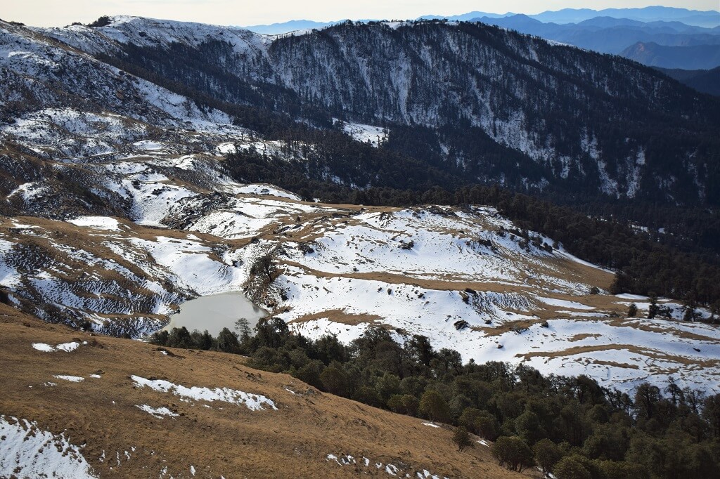
The Valley of Flowers National Park is a UNESCO World Heritage Site located in the Indian state of Uttarakhand. It is renowned for its breathtaking natural beauty, rich biodiversity, and vibrant floral display.

Valley of Flowers – UNESCO World Heritage Site

The Valley of Flowers trek is a breathtaking journey through the West Himalayan region of Uttarakhand, where nature’s beauty is showcased in its purest form. As you traverse dense forests, follow the meandering path alongside the Pushpawati river, and cross bridges spanning over cascading waterfalls and glaciers, you’ll find yourself immersed in a truly magical experience.
This pristine valley, designated as an Indian National Park and a UNESCO World Heritage Site, is a sanctuary for rare and exotic Himalayan flora. It’s like walking through a floral paradise, with plush meadows adorned by a vibrant tapestry of endemic alpine flowers. The diversity of fauna adds another layer of enchantment to this already captivating landscape.
The Valley of Flowers trek offers not just physical adventure but also a spiritual journey as you find yourself surrounded by the serene beauty of nature.

Some Key Points about The Valley Of Flowers National Park

Location: It is situated in the western Himalayas, in the Garhwal region of Uttarakhand, India. The nearest town to the park is Joshimath.

Establishment: The park was established in 1982 and was later declared a UNESCO World Heritage Site in 2005.

Flora: The valley is famous for its diverse alpine flowers, which bloom in a riot of colors during the monsoon season (July to September). The park is home to numerous species of flowers, including orchids, poppies, primulas, marigold, daisies, and anemones, among others.

Fauna: The Valley of Flowers is also inhabited by various species of animals, including the elusive snow leopard, musk deer, red fox, and Himalayan black bear. Birdwatchers can spot several bird species such as the Himalayan monal pheasant and the red-billed blue magpie.

Best Time to Visit: The best time to visit the Valley of Flowers is during the monsoon season, from July to September, when the flowers are in full bloom.

Conservation: The park is protected under Indian wildlife protection laws and efforts are made to preserve its fragile ecosystem and biodiversity.

Overall, the Valley of Flowers National Park is a paradise for nature lovers, trekkers, and photographers, offering a unique opportunity to experience the splendor of the Himalayan flora and fauna.
Activities in Valley of Flowers National Park

Trekking: Trekking is the primary activity in the Valley of Flowers. The park offers various trekking routes of different difficulty levels, allowing visitors to explore its picturesque landscapes, lush meadows, and vibrant flower fields.

Flower Watching: The park is famous for its rich floral diversity, with numerous species of flowers blooming during the monsoon season (July to September). Visitors can enjoy the sight of rare and endemic flowers like the Brahma Kamal, Blue Poppy, and Cobra Lily.

Photography: The park offers breathtaking vistas and opportunities for photography enthusiasts to capture the stunning landscapes, colorful flowers, and diverse wildlife.

Exploring nearby attractions: Nearby attractions such as Hemkund Sahib, a Sikh pilgrimage site, and the rugged beauty of the Nanda Devi National Park add to the charm of visiting the Valley of Flowers.

Nature Walks: Enjoy leisurely strolls through the valley, taking in the sights, sounds, and scents of the pristine natural surroundings.

History of Valley of Flowers

The Valley of Flowers was discovered by British mountaineers Frank S. Smythe and R.L. Holdsworth in 1931 during an expedition to Mount Kamet.After its discovery, the valley gained popularity due to its exceptional beauty and unique biodiversity.
In 1939, Joan Margaret Legge, a botanist and sister of the eminent British naturalist Frank Kingdon-Ward, lost her life in the valley while studying its flora. A memorial is dedicated to her in the valley.
The area was declared a national park in 1982 by the Government of India.In 2005, it was designated as a UNESCO World Heritage Site due to its outstanding universal value and unique ecological significance.

Mythology About Valley of Flowers

According to local folklore, the Valley of Flowers is associated with the Hindu epic, the Ramayana. It is believed that the valley was the place where Lord Hanuman, the monkey god, found the mythical herb Sanjeevani to revive Lord Lakshmana, who was injured in battle.
The valley is also considered sacred by the locals and is named Bhyundar Valley after the local deity Bhyundar.

Hemkund Sahib Hemkund sahib

Hemkund Sahib

It is also known as Gurudwara Sri Hemkund Sahib Ji, is a Sikh place of worship located in the Chamoli…

How To Reach Valley of Flowers

By Road

Govindghat serves as the starting point for the trek to the Valley of Flowers. It is well connected by road to major cities like Rishikesh, Haridwar, and Dehradun. You can either drive yourself or take a bus from these cities to reach Govindghat. From Govindghat, it’s an approximately 13-kilometer trek to reach Ghangaria, the base camp for the Valley of Flowers trek.

By Train

The nearest railway station to the Valley of Flowers is in Rishikesh, which is about 276 kilometers away. From Rishikesh, you can hire a taxi or take a bus to reach Joshimath or Govindghat.

By Air

The nearest airport to the Valley of Flowers is the Jolly Grant Airport in Dehradun, which is approximately 295 kilometers away. From the airport, you can hire a taxi or take a bus to reach Joshimath or Govindghat, which are the nearest accessible points to the valley.

By Trekking

After reaching Govindghat, you have to trek to Ghangaria. From Ghangaria, the Valley of Flowers is accessible by another trek of around 4 kilometers. It’s advisable to hire a local guide or porter for the trek, especially if you’re not experienced in high-altitude trekking.

Govind Wildlife Sanctuary

The Govind Wildlife Sanctuary is located in the Uttarkashi district of Uttarakhand, India. Established in 1955, it covers an area of around 957 square kilometers. The sanctuary is characterized by its diverse flora and fauna, including a variety of species such as snow leopards, Himalayan black bears, musk deer, and numerous bird species.

Govind Wildlife Sanctuary In Uttarkashi

The Govind Wildlife Sanctuary is indeed a beautiful sanctuary located in Uttarkashi district of Uttarakhand, India. It’s renowned for its rich biodiversity and stunning landscapes. The sanctuary is named after Govind Ballabh Pant, a prominent freedom fighter and former Chief Minister of Uttar Pradesh.Spanning over an area of about 957 square kilometers, the sanctuary is home to a wide variety of flora and fauna. It encompasses diverse ecosystems ranging from alpine meadows to dense forests. Some of the prominent wildlife species found here include Himalayan black bear, snow leopard, musk deer, brown bear, and various species of birds like monal pheasant and western tragopan.

Activities In Govind Wildlife Sanctuary

Wildlife Spotting: The sanctuary is home to a variety of wildlife species including snow leopards, musk deer, Himalayan black bears, and several species of birds. Wildlife spotting tours allow visitors to observe these magnificent creatures in their natural habitat.

Trekking: Govind Wildlife Sanctuary offers numerous trekking routes that vary in difficulty level. The most popular trek is the Har Ki Dun trek, which takes you through lush forests, picturesque villages, and beautiful meadows with stunning views of snow-capped peaks.

Bird Watching: The sanctuary is a paradise for bird watchers with its diverse avian population. You can spot several species of Himalayan birds such as monal pheasants, koklass pheasants, Himalayan griffon, and Himalayan snowcock.

Nature Walks: Take leisurely strolls through the sanctuary to soak in the serene atmosphere, breathe in the fresh mountain air, and marvel at the rich biodiversity of the region.

Camping: Camping is a popular activity in the sanctuary, offering visitors a chance to spend a night under the starry sky surrounded by pristine wilderness. There are designated camping sites within the sanctuary where you can pitch your tent and enjoy a bonfire under the guidance of forest authorities.

Photography: Capture the breathtaking landscapes, vibrant flora, and elusive wildlife of Govind Wildlife Sanctuary through your camera lens. The sanctuary provides ample opportunities for nature photography enthusiasts to hone their skills and create stunning visuals.

Village Visits: Explore the traditional mountain villages dotted around the sanctuary and interact with the local communities to learn about their way of life, culture, and customs.

River Rafting: Nearby rivers such as the Tons River offer thrilling opportunities for river rafting during certain seasons.

Nelong Valley Nelong Valley uttarakhand

Nelong Valley

Nelong Valley, also known as the ‘Secret Hindustan,’ is a breathtaking and secluded valley located in the northeastern region of…

Harsil harshil valley

Harsil

Harsil is a picturesque village situated in the Uttarkashi district of Uttarakhand, India. Nestled amidst the breathtaking beauty of the…

How To Reach Govind Wildlife Sanctuary

By Road

If you’re coming from Dehradun, you can take the NH507 towards Mussoorie and then continue on the same road towards Nainbagh. From Nainbagh, take the Purola-Naitwar Road to reach Sankri, which is the base village for Govind Wildlife Sanctuary.
If you’re coming from Delhi, you can take NH44 towards Dehradun, and then follow the route mentioned above.
Alternatively, you can also reach Govind Wildlife Sanctuary via Yamunotri or Gangotri, depending on your starting point.

By Train

The nearest railway station to Govind Wildlife Sanctuary is Dehradun Railway Station. From there, you can either hire a taxi or take a bus to reach the sanctuary.

By Air

The nearest airport to Govind Wildlife Sanctuary is Jolly Grant Airport in Dehradun. From there, you can hire a taxi or take a bus to reach the sanctuary.

Contact Us